
Cumbria Way
Descripción
- Name Cumbria Way
- Distancia de sendero 113 km, 70 millas
- Duración en días 6 días
- Inicio de sendero Ulverston
- Fin de sendero Carlisle
- Clasificación Traildino MW, Caminata moderada, sendero de mochileros
- Clasificación Travesía de refugios T1, Caminata

70 miles, 112 km, 6 days
Walking the Coast to Coast Path, you will have passed through the Lake District before you know it. So, if you want to spend more time to enjoy Cumbria and the Lake District, then the Cumbria Way is a good option. The path is 70 miles, 112 km long and runs from the ancient market town of Ulverston to Carlisle, not far from the Scottish border. The contrasts between the rugged hills and gentle valleys are large. Prepare yourself for a lot of climbing up and down rugged ridges.
Select some tracks
☐Cumbria Way, 137km
Mapa

Enlaces
Datos
Informes
Guías y mapas
Hospedaje
Organizaciones
Operadores turísticos
GPS
Otro
Libros

Stanfords
United Kingdom
United Kingdom
- English Lakes North Western - Keswick, Cockermouth & Wigton OS Explorer Active Map OL4 (waterproof)
- The north-western area of the Lake District on a detailed topographic and GPS compatible map OL4, waterproof version, from the Ordnance Survey’s 1:25,000 Explorer series. Coverage includes Keswick, Cockermouth, Buttermere, Ennerdale Bridge, Wigton, Bassenthwaite Lake, Derwent Water, Crummock Water, the Solway Coast between Maryport and... Leer más

Stanfords
United Kingdom
United Kingdom
- Cumbria Way (72 miles)
- Cumbria Way (72 miles) is the Hillside mini guide to walking the well established long-distance route through the Lake District, from Ulverston to Carlisle, through the scenery of the Lake District National Park.Hillside Great Britain Mini Walking Guides series is a collection of mini guides by Paul Hannon to the walking country in Great... Leer más
- Also available from:
- The Book Depository, United Kingdom


The Book Depository
United Kingdom
2018
United Kingdom
2018
- Fastpacking
- Multi-day running adventures: tips, stories and route ideas Leer más

- Also available from:
- De Zwerver, Netherlands

The Book Depository
United Kingdom
2022
United Kingdom
2022
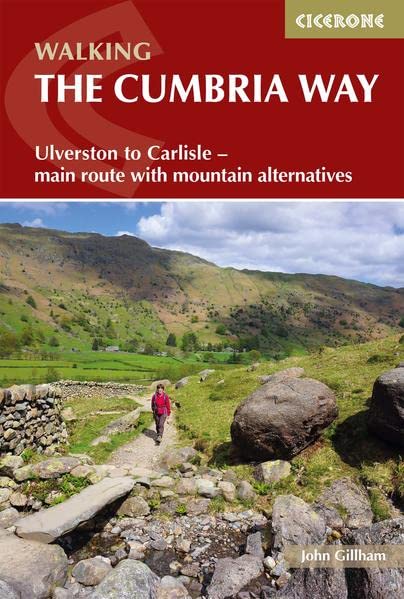
- Walking The Cumbria Way
- Ulverston to Carlisle - main route with mountain alternatives Leer más
- Also available from:
- De Zwerver, Netherlands
De Zwerver
Netherlands
2022
Netherlands
2022
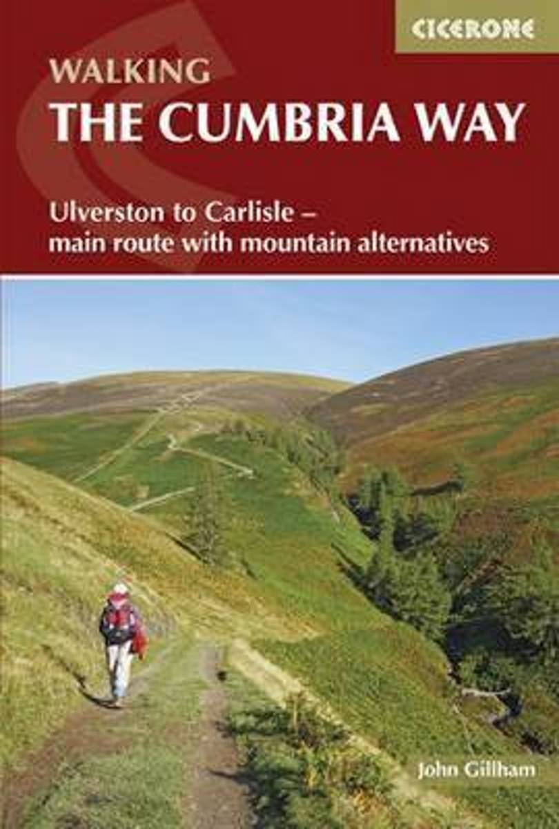
- Wandelgids The Cumbria Way | Cicerone
- Ulverston to Carlisle - main route with mountain alternatives Leer más
Bol.com
Netherlands
2015
Netherlands
2015
- The Cumbria Way
- A guidebook to the Cumbria Way, a 73-mile long distance path through the heart of the English Lake District from Ulverston to Carlisle. The route is largely low-level, and accessible to new trekkers, but this guide offers alternative mountain days to climb some of the famous fells en route. The guide divides the route into 5 stages of between... Leer más
- Also available from:
- Bol.com, Belgium
Bol.com
Belgium
2015
Belgium
2015
- The Cumbria Way
- A guidebook to the Cumbria Way, a 73-mile long distance path through the heart of the English Lake District from Ulverston to Carlisle. The route is largely low-level, and accessible to new trekkers, but this guide offers alternative mountain days to climb some of the famous fells en route. The guide divides the route into 5 stages of between... Leer más
Bol.com
Netherlands
Netherlands
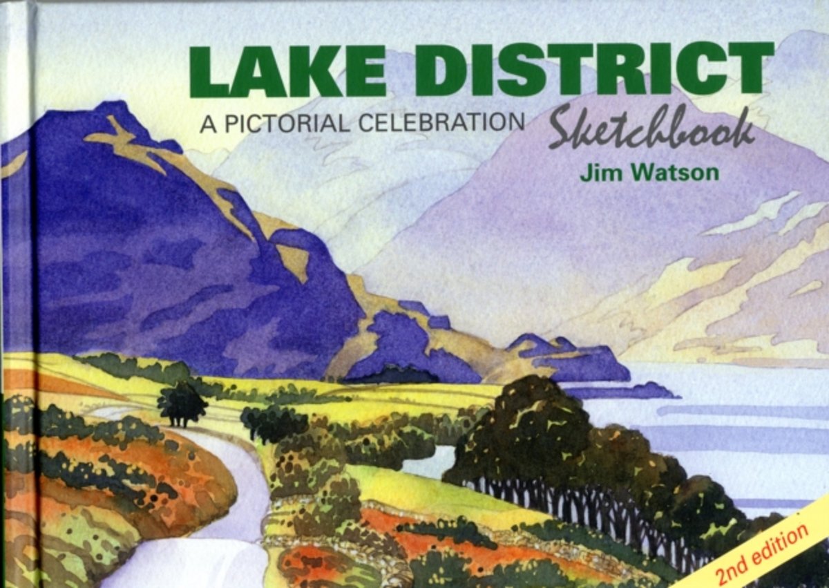
- Lake District Sketchbook
- A celebration of one of England's most alluring and picturesque regions, the Lake District Sketchbook is packed with over 200 beautiful line and watercolour illustrations of some of the author's favourite places in the magnificent English lakeland. The illustrations are accompanied by historical footnotes, quirky facts, some easy walks,... Leer más
- Also available from:
- Bol.com, Belgium
Bol.com
Belgium
Belgium
- Lake District Sketchbook
- A celebration of one of England's most alluring and picturesque regions, the Lake District Sketchbook is packed with over 200 beautiful line and watercolour illustrations of some of the author's favourite places in the magnificent English lakeland. The illustrations are accompanied by historical footnotes, quirky facts, some easy walks,... Leer más
De Zwerver
Netherlands
2007
Netherlands
2007
- Wandelgids The Cumbria Coastal Way | Cicerone
- This guidebook follows the continuous 298km (182 mile) walking route from Silverdale, on Morecambe Bay, towards Gretna on the Scottish border. The route links a number of gems of landscape, wildlife, archaeology and history along this often little-known coastline. A walk of 10-14 days suitable for all levels of ability. Leer más
Mapas

Stanfords
United Kingdom
United Kingdom
- Yorkshire Dales for Cyclists
- Yorkshire Dales on a light, waterproof and tear-resistant, contoured and GPS compatible map at 1:100,000 from Harvey Map Services highlighting roads which are part of the various long-distance cycle trails across the Dales, plus highlighting for facilities and places of interest, enlargements for main built-up areas, etc.Topography is shown by... Leer más

Stanfords
United Kingdom
United Kingdom
- The Cumbria Way
- The waterproof Footprint map-guide to the Cumbria Way - the 73 mile (117km) route between Ulverstone and Carlisle. It generally follows well maintained paths and tracks through some of the Lake District`s finest scenery. This Footprint map is divided into 5 sections each portrayed on a separate panel. It is marked in miles, starting in... Leer más
- Also available from:
- The Book Depository, United Kingdom

The Book Depository
United Kingdom
United Kingdom
- The Cumbria Way
- A Footprint Map-Guide to the 73-Mile Route Between Ulverston & Carlisle Leer más

The Book Depository
United Kingdom
United Kingdom
- Lakes SE
- The south-eastern area of the Lake District on a detailed topographic and GPS compatible map OL7, waterproof version, from the Ordnance Survey’s 1:25,000 Explorer series. Coverage extends eastwards from Coniston and the northern part of the Coniston Water to the Killington Reservoir and includes Grasmere, Ambleside, Windermere, Kendal, Penny... Leer más

Stanfords
United Kingdom
United Kingdom
- Cumbria Way Harvey National Trail XT40
- Cumbria Way, a 112km / 70 mile route liking Ulverston and Carlisle across the heart of the Lake District, presented at 1:40,000 on a light, waterproof and tear-resistant map from Harvey Map Services. The route is shown on five overlapping panels, with additional street plans of Carlisle, Keswick, and Ulverston.Maps in the Harvey’s series... Leer más
- Also available from:
- The Book Depository, United Kingdom
- De Zwerver, Netherlands

The Book Depository
United Kingdom
United Kingdom
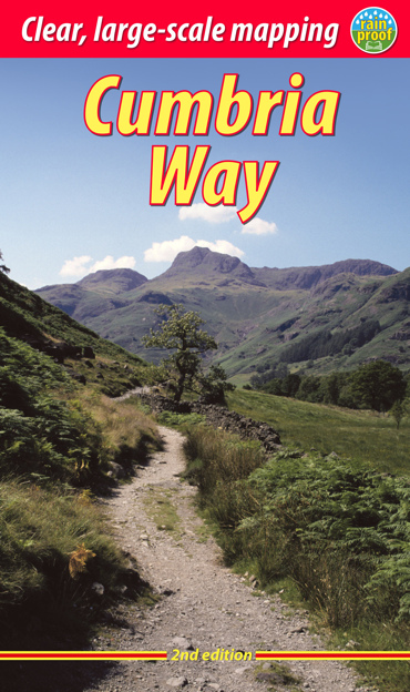
- Cumbria Way
- Cumbria Way, a 112km / 70 mile route liking Ulverston and Carlisle across the heart of the Lake District, presented at 1:40,000 on a light, waterproof and tear-resistant map from Harvey Map Services. The route is shown on five overlapping panels, with additional street plans of Carlisle, Keswick, and Ulverston.Maps in the Harvey Leer más

De Zwerver
Netherlands
Netherlands
- Wandelkaart Cumbria Way | Harvey Maps
- Cumbria Way, a 112km / 70 mile route liking Ulverston and Carlisle across the heart of the Lake District, presented at 1:40,000 on a light, waterproof and tear-resistant map from Harvey Map Services. The route is shown on five overlapping panels, with additional street plans of Carlisle, Keswick, and Ulverston.Maps in the Harvey Leer más