
Mountains-to-Sea Trail
Descripción
- Name Mountains-to-Sea Trail (MST)
- Distancia de sendero 1,448 km, 900 millas
- Duración en días 73 días
- Clasificación Traildino MW, Caminata moderada, sendero de mochileros
- Clasificación Travesía de refugios T1, Caminata
 Not an easy trail, the Mountains-to-Sea Trail leads the hiker from the Great Smoky Mountains to the Outer Banks in North Carolina. About half of the planned 900 mile (1.448 km) trail is ready.
Mapa


Enlaces
Datos
Informes
Guías y mapas
Hospedaje
Organizaciones
Operadores turísticos
GPS
Otro
Libros

The Book Depository
United Kingdom
United Kingdom

The Book Depository
United Kingdom
United Kingdom
- The Mountains-to-Sea Trail Across North Carolina
- Walking a Thousand Miles Through Wildness, Culture and History Leer más

Bol.com
Netherlands
Netherlands
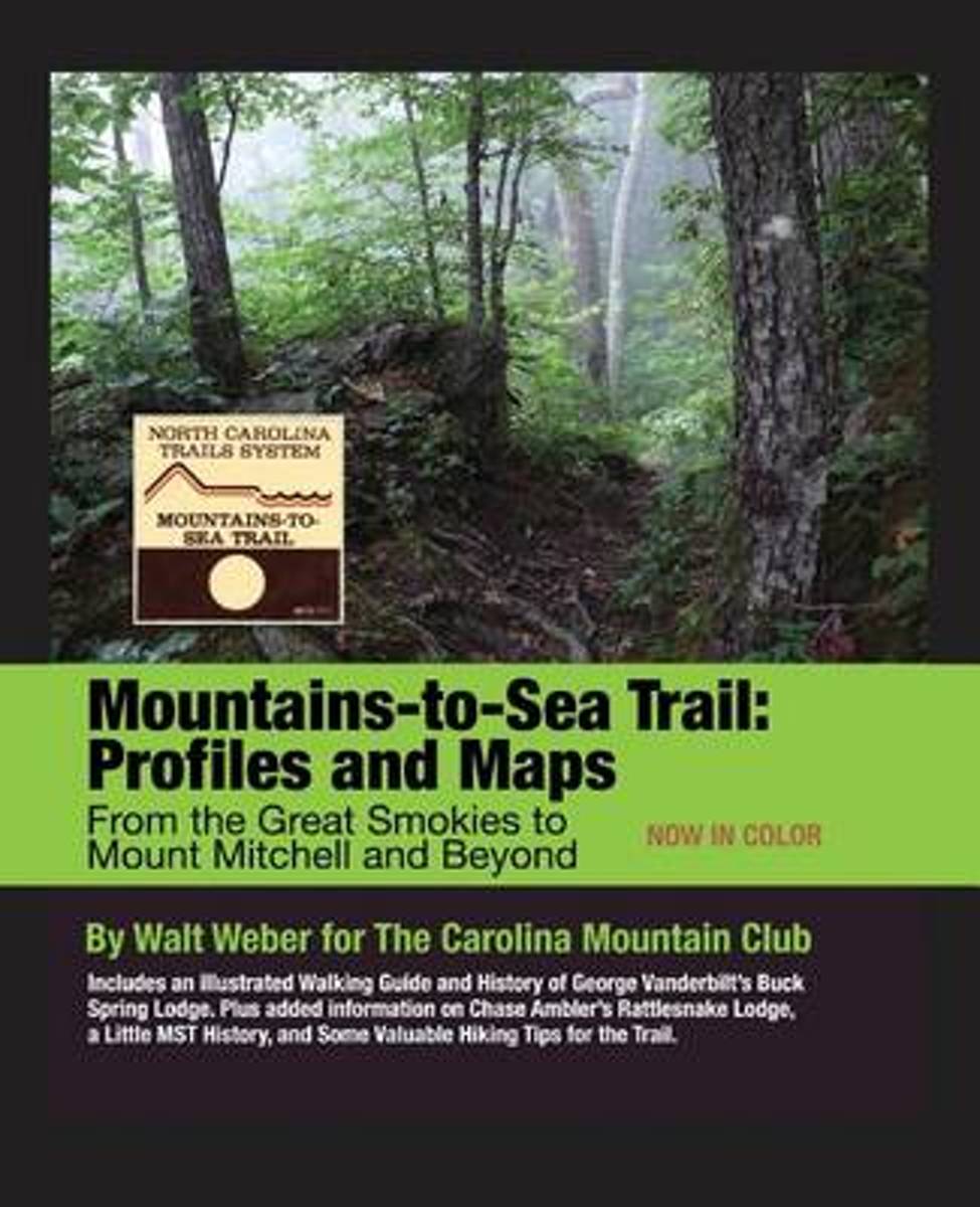
- Mountains-To-Sea Trail
- This is the second edition, now in color, of the popular guide to the Mountains-to-Sea Trail (MST) in Western North Carolina. It includes topographical maps and trail elevation profiles, making it easy to understand both the distance and difficulty of the hike you plan. All trail distances and elevations have been rechecked since the first... Leer más
- Also available from:
- Bol.com, Belgium
Bol.com
Belgium
Belgium
- Mountains-To-Sea Trail
- This is the second edition, now in color, of the popular guide to the Mountains-to-Sea Trail (MST) in Western North Carolina. It includes topographical maps and trail elevation profiles, making it easy to understand both the distance and difficulty of the hike you plan. All trail distances and elevations have been rechecked since the first... Leer más
Bol.com
Netherlands
Netherlands
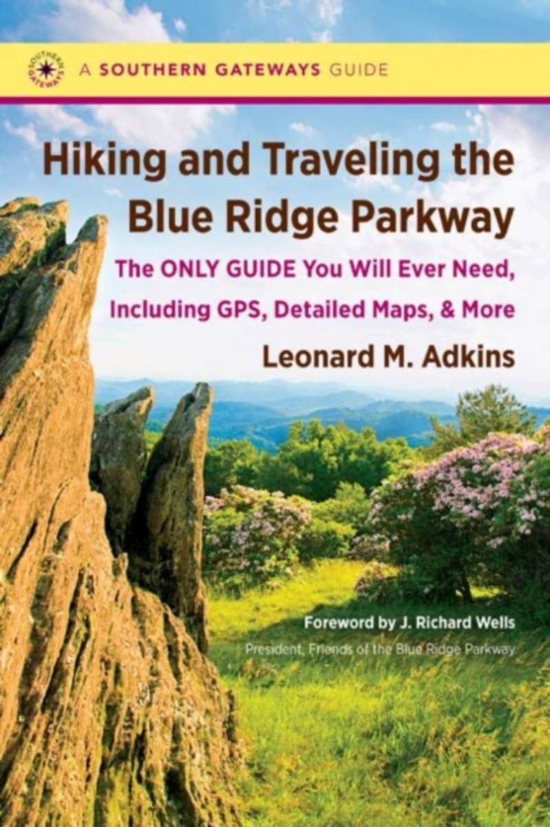
- Hiking and Traveling the Blue Ridge Parkway
- This comprehensive guidebook provides a detailed description of every official trail along the Blue Ridge Parkway. But that's just the beginning: veteran hiker Leonard M. Adkins includes information on every trail that touches the Parkway, including the Appalachian Trail, the Mountains-to-Sea Trail, and other public pathways on national park,... Leer más
- Also available from:
- Bol.com, Belgium
Bol.com
Belgium
Belgium
- Hiking and Traveling the Blue Ridge Parkway
- This comprehensive guidebook provides a detailed description of every official trail along the Blue Ridge Parkway. But that's just the beginning: veteran hiker Leonard M. Adkins includes information on every trail that touches the Parkway, including the Appalachian Trail, the Mountains-to-Sea Trail, and other public pathways on national park,... Leer más

Bol.com
Netherlands
Netherlands
- Battling the Storm Within
- Living for 20 years with undiagnosed post-traumatic stress disorder, P.T.S.D. caused by military sexual trauma, M.S.T. and Gulf War Illness, G.W.I. has not made life an easy path for Sergeant Stephanie J. Shannon. In this, first book, Battling the Storm Within, Stephanie shares how her time of military service, and the resulting trauma she... Leer más
- Also available from:
- Bol.com, Belgium
Bol.com
Belgium
Belgium
- Battling the Storm Within
- Living for 20 years with undiagnosed post-traumatic stress disorder, P.T.S.D. caused by military sexual trauma, M.S.T. and Gulf War Illness, G.W.I. has not made life an easy path for Sergeant Stephanie J. Shannon. In this, first book, Battling the Storm Within, Stephanie shares how her time of military service, and the resulting trauma she... Leer más

Bol.com
Netherlands
Netherlands
- Best Hikes with Dogs
- CLICK HERE to download a free hike from Best Hikes with Dogs North Carolina* North Carolina hikes located in and around Asheville, Winston-Salem, Piedmont, Uwharrie * National Forest, and the Mountains-to-Sea Trail * Info on first aid for dogs and the 10 Canine Essentials* Paw-friendly terrain* Trails appropriate for dogs of all ages and... Leer más
- Also available from:
- Bol.com, Belgium
Bol.com
Belgium
Belgium
- Best Hikes with Dogs
- CLICK HERE to download a free hike from Best Hikes with Dogs North Carolina* North Carolina hikes located in and around Asheville, Winston-Salem, Piedmont, Uwharrie * National Forest, and the Mountains-to-Sea Trail * Info on first aid for dogs and the 10 Canine Essentials* Paw-friendly terrain* Trails appropriate for dogs of all ages and... Leer más
Bol.com
Netherlands
Netherlands
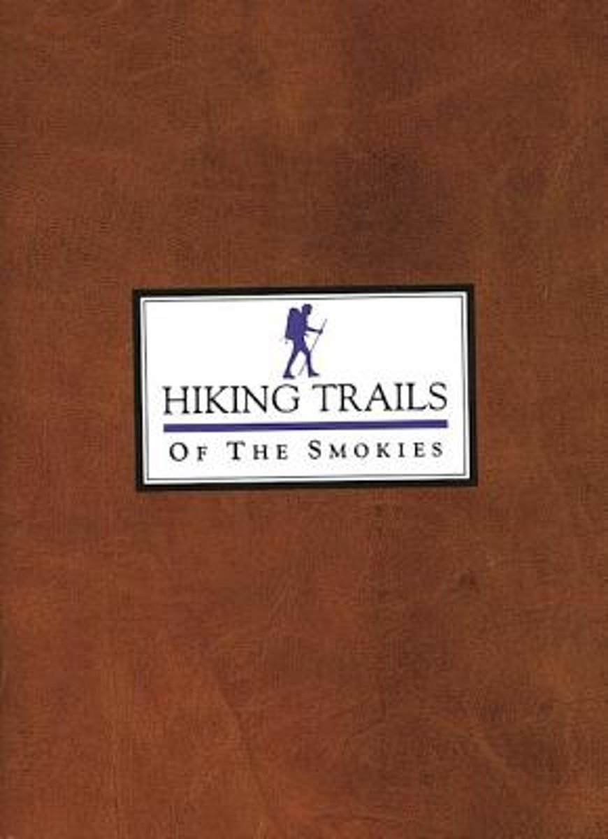
- Hiking Trails of the Smokies
- This special 5th Edition features over 100 revised pages. It covers all 150 official trails in Great Smoky Mountains National Park with in-depth narratives and invaluable profile charts that show mileage, elevation change, and major stream crossings at a glance. It includes information on all back-country campsites, shelters, regulations and... Leer más
- Also available from:
- Bol.com, Belgium
Bol.com
Belgium
Belgium
- Hiking Trails of the Smokies
- This special 5th Edition features over 100 revised pages. It covers all 150 official trails in Great Smoky Mountains National Park with in-depth narratives and invaluable profile charts that show mileage, elevation change, and major stream crossings at a glance. It includes information on all back-country campsites, shelters, regulations and... Leer más
Mapas

Stanfords
United Kingdom
United Kingdom
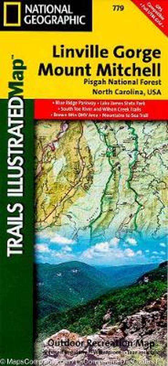
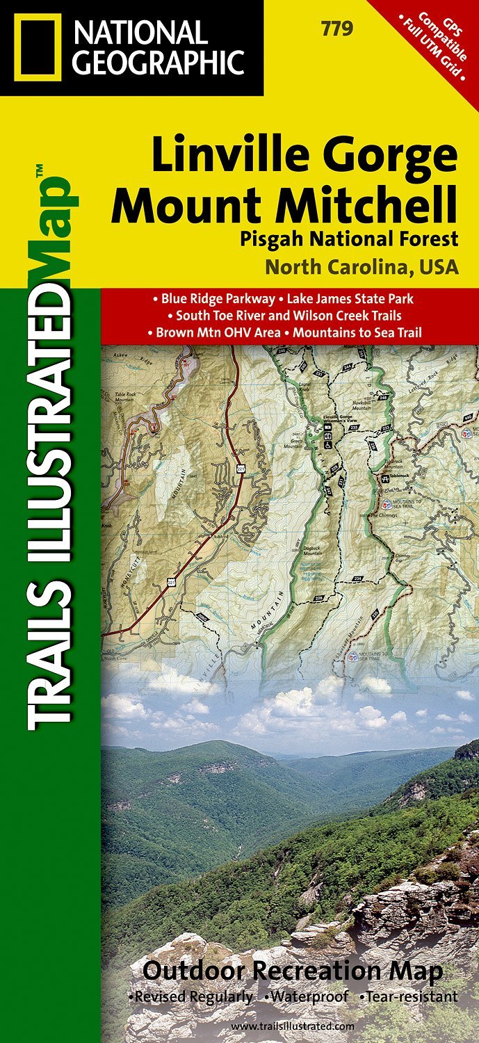
- Pisgah National Forest - Linville Gorge - Mt. Mitchell NC
- Map No. 779, Pisgah National Forest: Linville Gorge - Mt. Mitchell, NC, in an extensive series of GPS compatible, contoured hiking maps of USA’s national and state parks or forests and other popular recreational areas. Cartography based on the national topographic survey, with additional tourist information.The maps, with most titles now... Leer más
- Also available from:
- The Book Depository, United Kingdom
- Bol.com, Netherlands
- Bol.com, Belgium
- De Zwerver, Netherlands

The Book Depository
United Kingdom
United Kingdom
- Linville Gorge/mount Mitchell, Pisgah National Forest
- Trails Illustrated Other Rec. Areas Leer más
Bol.com
Netherlands
Netherlands
- Linville Gorge/mount Mitchell, Pisgah National Forest
- Waterproof Tear-Resistant Topographic MapExpertly researched and created in partnership with local land management agencies, National Geographic's Trails Illustrated map of Linville Gorge and Mount Mitchell provides an unparalleled tool for exploring these remarkable features within Pisgah National Forest. This map includes such key areas... Leer más
Bol.com
Belgium
Belgium
- Linville Gorge/mount Mitchell, Pisgah National Forest
- Waterproof Tear-Resistant Topographic MapExpertly researched and created in partnership with local land management agencies, National Geographic's Trails Illustrated map of Linville Gorge and Mount Mitchell provides an unparalleled tool for exploring these remarkable features within Pisgah National Forest. This map includes such key areas... Leer más
De Zwerver
Netherlands
Netherlands
- Wandelkaart - Topografische kaart 779 Linville Gorge - Mount Mitchell - Pisgah National Forest | National Geographic
- Prachtige geplastificeerde kaart van het bekende nationaal park. Met alle recreatieve voorzieningen als campsites, maar ook met topografische details en wandelroutes ed. Door uitgekiend kleurgebruik zeer prettig in gebruik. Scheur en watervast! Coverage includes Pisgah National Forest, Grandfather Ranger District (complete) and Appalachian... Leer más