
Tuscarora Trail
Descripción
- Name Tuscarora Trail
- Distancia de sendero 406 km, 252 millas
- Duración en días 23 días
- Clasificación Traildino MW, Caminata moderada, sendero de mochileros
- Clasificación Travesía de refugios T1, Caminata
 The Tuscarora Trail splits off from the Appalachain Trail in Virginia and rejoins it in Pennsylvania. The length is 252 miles (406 km).
Mapa


Enlaces
Datos
Informes
Guías y mapas
Hospedaje
Organizaciones
Operadores turísticos
GPS
Otro
Libros

Stanfords
United Kingdom
United Kingdom
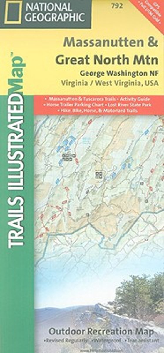
- George Washington and Jefferson National Forest - Massanutten - Great Northern Mountains VA/WV
- Map No. 792, George Washington and Jefferson National Forest: Massanutten - Great Northern Mountains, VA/WV, in an extensive series of GPS compatible, contoured hiking maps of USA’s national and state parks or forests and other popular recreational areas. Cartography based on the national topographic survey, with additional tourist... Leer más
- Also available from:
- The Book Depository, United Kingdom
- Bol.com, Netherlands
- Bol.com, Belgium

The Book Depository
United Kingdom
United Kingdom
- Massanutten/great Northern Mountains G.w. & Jefferson N.f.s
- Trails Illustrated Other Rec. Areas Leer más
Bol.com
Netherlands
Netherlands
- Massanutten/Great Northern Mountains G.W. & Jefferson N.F.S
- Coverage includes George Washington National Forest. Towns: Harrisonburg, Lurah, Strasburg. Major Trails: Massanutten Mountain, Tuscarora Trail. Leer más
Bol.com
Belgium
Belgium
- Massanutten/Great Northern Mountains G.W. & Jefferson N.F.S
- Coverage includes George Washington National Forest. Towns: Harrisonburg, Lurah, Strasburg. Major Trails: Massanutten Mountain, Tuscarora Trail. Leer más