Cotswold Way
Descripción
- Name Cotswold Way
- Distancia de sendero 161 km, 100 millas
- Duración en días 7 días
- Inicio de sendero Bath
- Fin de sendero Chipping Campden
- Clasificación Traildino EW, Paseo fácil, sendero en la naturaleza
100 miles, 161 km, 7 days, Bath - Chipping Campden
National Trail
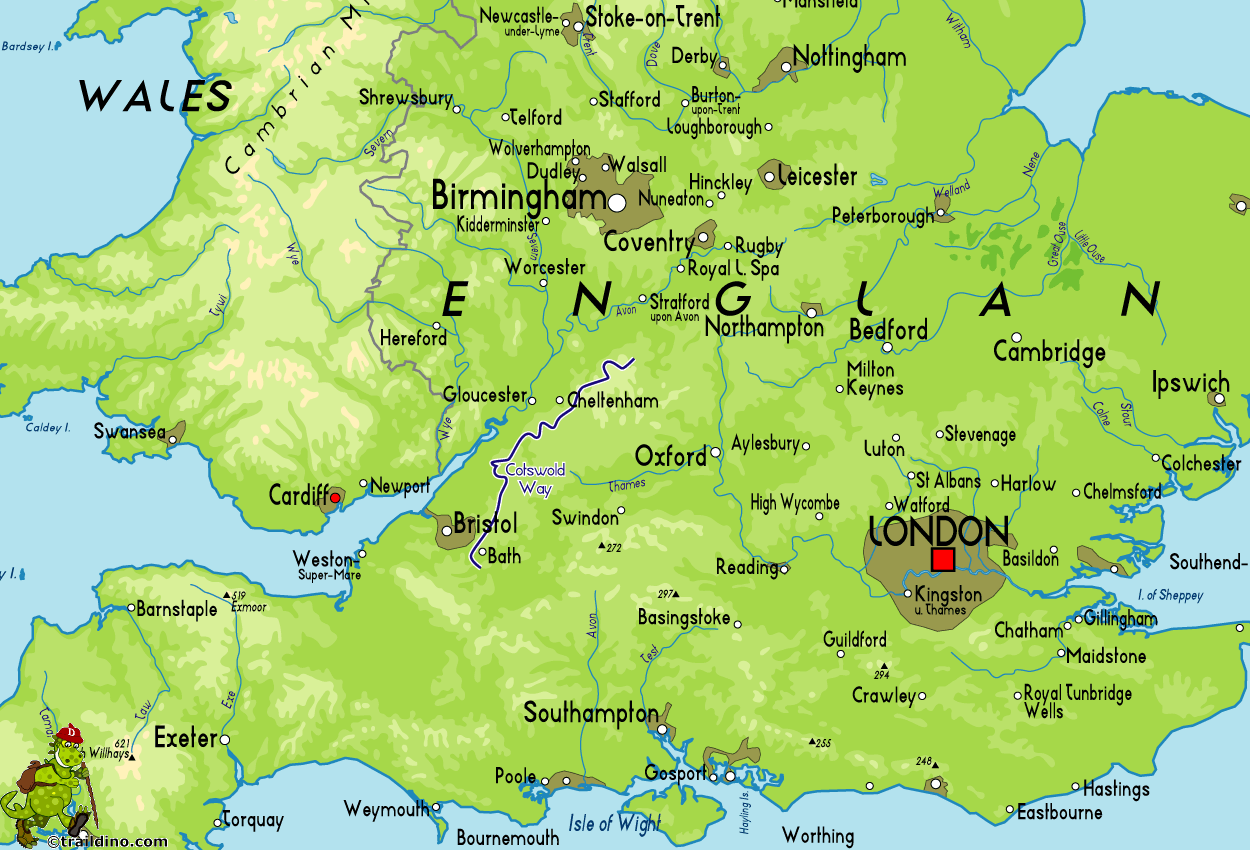
The Cotswold in the southwest of the United Kingdom is a large area of outstanding beauty. The Cotswold Way is a walk that follows the limestone escarpment along the Severn estuary. This escarpment is the most prominent feature of the Cotswolds: from the east the landmass slowly rises, and here, in the Cotswolds, the gently rolling landscape dramatically breaks down to the Severn valley. Great vistas unfold, not unlinke a coastal walk. On a clear day, one will be able to see the Black Mountains in Wales.
The stone age people built their long graves, the iron age people created large and exposed hill forts, and in our times the rich merchants from Bristol built their country houses. All is still there to be enjoyed.
The hills are not high, but very varied. Sometimes the high combs consist of barren common lands dotted with sheep, often of old beech forests carpeted with wild garlic and bluebells. In the narrow valleys, small villages are hidden. The traditional building style is well preserved, and the cream coloured Cotswold stone merges perfectly into the landscape of hedges, large solitary trees and small fields. We should not forget to mention the centuries old drystone walls, a craft that is being revived nowadays.
Some practicalities. People usually walk north-south "because that's downhill" (Chipping Campden lies at 150 m, and Bath, in the south, at 50 m). Well, no one prevents you from walking the other way round, of course. A typical day involves some walking up and down, but on the whole the walk is very easy and very well waymarked, more so since 2007 when the trail became a National Trail and got a total makeover. It's the ideal B&B walk, since lodging is available in most villages and many solitary houses in between. Enough pubs are still open to find a meal every day. Camping is more difficult, since few official campsites exist.
On the downside it should be mentioned that the nearby cities of Bristol, Gloucester, Bath and Cheltenham put some pressure on the area (golf courses), and one often has to cross busy roads.
On the whole, this way is the perfect week's walk through a truly English countryside.
Mapa
Enlaces
Datos
Informes
Guías y mapas
Hospedaje
Organizaciones
Operadores turísticos
GPS
Otro
Libros

United Kingdom
- Cheltenham, Cirencester & Stow-on-the-Wold OS Landranger Active Map 163 (waterproof)
- Cheltenham and Cirencester area, including sections of the Thames Path, the Cotswold Way and the E2 European Long-distance Path, on a waterproof and tear-resistant OS Active version of map No. 163 from the Ordnance Survey’s Landranger series at 1:50,000, with contoured and GPS compatible topographic mapping plus tourist information.MOBILE... Leer más
- Also available from:
- De Zwerver, Netherlands

United Kingdom
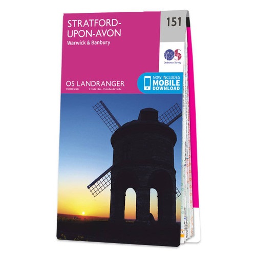
- Stratford-upon-Avon, Warwick & Banbury OS Landranger Active Map 151 (waterproof)
- The area between Stratford-upon-Avon, Warwick and Banbury, including the northern part of the Cotswold Hills and part of the Cotswold Way / E2 European Long-distance Path, on a waterproof and tear-resistant OS Active version of map No. 151 from the Ordnance Survey’s Landranger series at 1:50,000, with contoured and GPS compatible topographic... Leer más
- Also available from:
- De Zwerver, Netherlands

United Kingdom
2016
- Cheltenham, Cirencester & Stow-on-the-Wold OS Landranger Map 163 (paper)
- Cheltenham and Cirencester area, including sections of the Thames Path, the Cotswold Way and the E2 European Long-distance Path, on a paper version of map No. 163 from the Ordnance Survey’s Landranger series at 1:50,000, with contoured and GPS compatible topographic mapping plus tourist information.MOBILE DOWNLOADS: As well as the physical... Leer más
- Also available from:
- The Book Depository, United Kingdom
- De Zwerver, Netherlands

United Kingdom
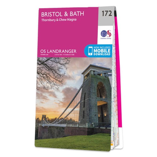
- Bristol, Bath, Thornbury & Chew Magna OS Landranger Active Map 172 (waterproof)
- Bristol and Bath area, including the southern section of the Cotswold Way, on a waterproof and tear-resistant OS Active version of map No. 172 from the Ordnance Survey’s Landranger series at 1:50,000, with contoured and GPS compatible topographic mapping plus tourist information.MOBILE DOWNLOADS: As well as the physical edition of the map, each... Leer más
- Also available from:
- The Book Depository, United Kingdom
- De Zwerver, Netherlands

United Kingdom
2022
- The Cotswolds - Burford, Chipping Campden, Cirencester & Stow-on-the-Wold OS Explorer Map OL45 (paper)
- The Cotswolds on a detailed topographic and GPS compatible map OL45, paper version, from the Ordnance Survey’s 1:25,000 Explorer series. Centred on Bourton-on-the-Water, the map extends north beyond Chipping Campden and south to Cirencester. Coverage includes Stow-on-the-Wold, Moreton-in-Marsh, Turkdean, Northleach, Burford, Carterton, etc. The... Leer más
- Also available from:
- The Book Depository, United Kingdom
- De Zwerver, Netherlands

United Kingdom
- Gloucester & Forest of Dean OS Landranger Active Map 162 (waterproof)
- Gloucester and the Forest of Dean area, including a part of the Cotswold Way and the southernmost section of the Offa’s Dyke Path, on a waterproof and tear-resistant OS Active version of map No. 162 from the Ordnance Survey’s Landranger series at 1:50,000, with contoured and GPS compatible topographic mapping plus tourist information.MOBILE... Leer más
- Also available from:
- The Book Depository, United Kingdom

United Kingdom
2019
- Cotswold Way: Chipping Campden to Bath
- All-in-one hiking route guide and maps for the Cotswold Way, a 102-mile National Trail that runs from Chipping Campden to Bath, following the beautiful Cotswold escarpment for most of its course. This is the fully revised and updated 4th edition. The trail leads through quintessentially English countryside with little villages of... Leer más
- Also available from:
- The Book Depository, United Kingdom

United Kingdom
2019
- Cotswold Way: Chipping Campden to Bath (Trailblazer British Walking Guides)
- Planning, Places to Stay, Places to Eat, 44 trail maps and 8 town plans Leer más

United Kingdom
- The Cotswolds - Burford, Chipping Campden, Cirencester & Stow-on-the-Wold OS Explorer Active Map OL45 (waterproof)
- The Cotswolds on a detailed topographic and GPS compatible map OL45, waterproof version, from the Ordnance Survey’s 1:25,000 Explorer series. Centred on Bourton-on-the-Water, the map extends north beyond Chipping Campden and south to Cirencester. Coverage includes Stow-on-the-Wold, Moreton-in-Marsh, Turkdean, Northleach, Burford, Carterton,... Leer más
- Also available from:
- The Book Depository, United Kingdom
- De Zwerver, Netherlands

United Kingdom
2021
- Worcester, The Malverns, Evesham & Tewkesbury OS Landranger Map 150 (paper)
- The area around Worcester, Great Malvern, Evesham and Tewkesbury, including the Malvern Hills and part of the Cotswold Way / E2 European Long-distance Path, on a paper version of map No. 150 from the Ordnance Survey’s Landranger series at 1:50,000, with contoured and GPS compatible topographic mapping plus tourist information.MOBILE DOWNLOADS:... Leer más
- Also available from:
- The Book Depository, United Kingdom
- De Zwerver, Netherlands

United Kingdom
2022
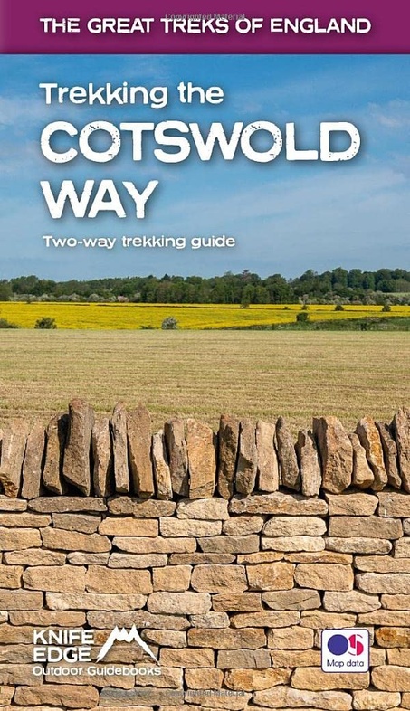
- Trekking the Cotswold Way: Two-way guidebook with OS 1:25k maps: 18 different itineraries)
- The definitive two-way guide to the Cotswold Way: both southbound and northbound routes are described in full.Real Maps: Full Ordnance Survey mapping inside (1:25,000). All accommodation is numbered and marked on the maps18 different itineraries: schedules of 4, 5, 6, 7, 8, 9, 10, 11 and 12 days for hikers and runners. Includes both southbound... Leer más
- Also available from:
- The Book Depository, United Kingdom
- De Zwerver, Netherlands

United Kingdom
2022
- Trekking the Cotswold Way
- Two-way guidebook with OS 1:25k maps: 18 different itineraries) Leer más
Netherlands
2022
- Wandelgids Trekking the Cotswold Way | Knife Edge Outdoor
- Two-way guidebook with OS 1:25k maps: 18 different itineraries) Leer más

United Kingdom
- The Cotswold Way: Archaeological Walking Guides
- The Cotswold Way crosses some of the most densely populated and varied landscapes from the each period of the past. The route also has some nationally important archaeological sites along, behind and in front of it. This book introduces the serious trail walker or the local 'single-stretch' day rambler to the types of archaeological monuments... Leer más

United Kingdom
2016
- Stratford-upon-Avon, Warwick & Banbury OS Landranger Map 151 (paper)
- The area between Stratford-upon-Avon, Warwick and Banbury, including the northern part of the Cotswold Hills and part of the Cotswold Way / E2 European Long-distance Path, on a paper version of map No. 151 from the Ordnance Survey’s Landranger series at 1:50,000, with contoured and GPS compatible topographic mapping plus tourist... Leer más
- Also available from:
- The Book Depository, United Kingdom
- De Zwerver, Netherlands

United Kingdom
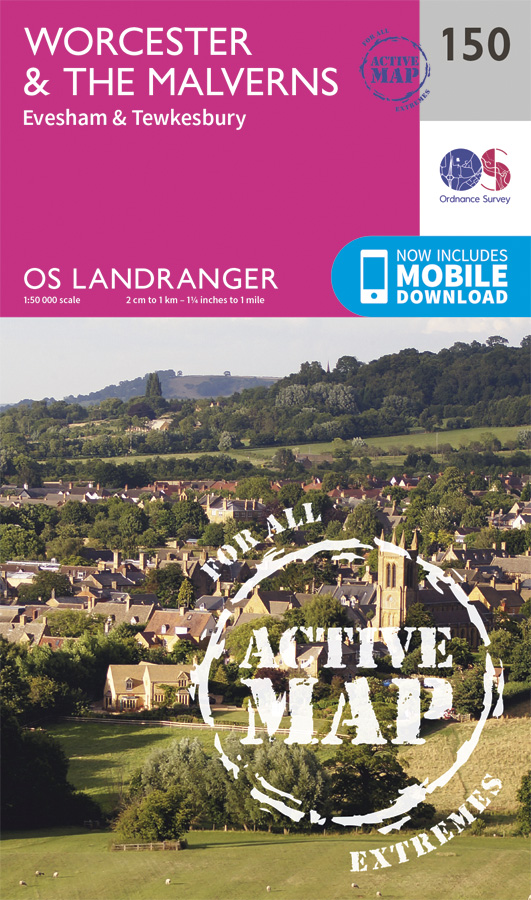
- Worcester, The Malverns, Evesham & Tewkesbury OS Landranger Active Map 150 (waterproof)
- The area around Worcester, Great Malvern, Evesham and Tewkesbury, including the Malvern Hills and part of the Cotswold Way / E2 European Long-distance Path, on a waterproof and tear-resistant OS Active version of map No. 150 from the Ordnance Survey’s Landranger series at 1:50,000, with contoured and GPS compatible topographic mapping plus... Leer más
- Also available from:
- The Book Depository, United Kingdom
- De Zwerver, Netherlands

United Kingdom
2021
- Bristol, Bath, Thornbury & Chew Magna OS Landranger Map 172 (paper)
- Bristol and Bath area, including the southern section of the Cotswold Way, on a paper version of map No. 172 from the Ordnance Survey’s Landranger series at 1:50,000, with contoured and GPS compatible topographic mapping plus tourist information.MOBILE DOWNLOADS: As well as the physical edition of the map, each Landranger title now includes a... Leer más
- Also available from:
- The Book Depository, United Kingdom
- De Zwerver, Netherlands

United Kingdom
2016
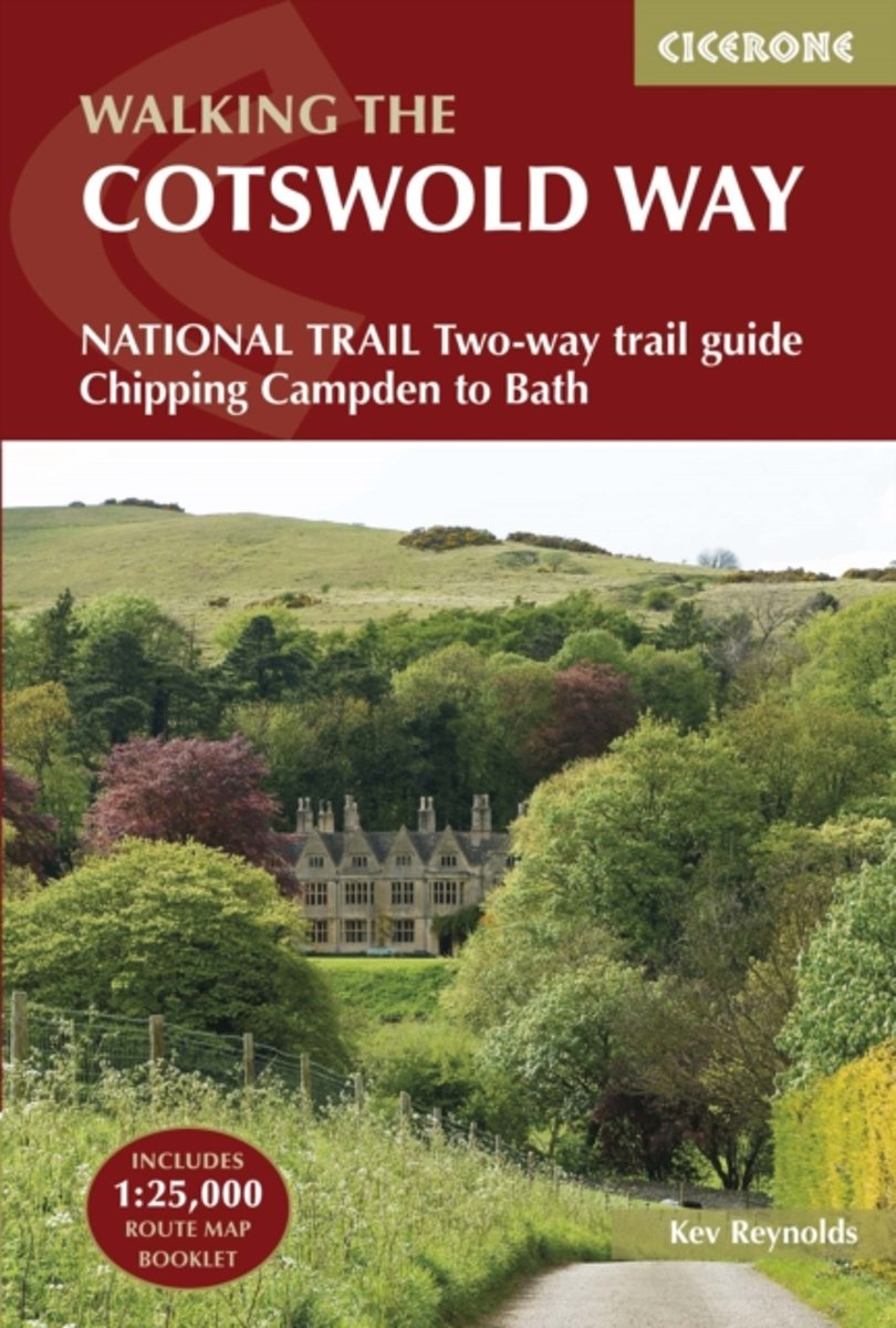
- Walking the Cotswold Way
- Guidebook to walking the Cotswold Way National Trail between Chipping Campden and Bath, across the Cotswolds AONB. The 102 mile (163km) route is described in both directions over 13 stages, of between 6 and 10 miles, depending on the existence of overnight accommodation. Camping options are sparse along the route. This guidebook is illustrated... Leer más
- Also available from:
- The Book Depository, United Kingdom
- Bol.com, Netherlands
- Bol.com, Belgium

United Kingdom
2016
- The Cotswold Way
- NATIONAL TRAIL Two-way trail guide - Chipping Campden to Bath Leer más
Netherlands
2016
- The Cotswold way
- Guidebook to walking the Cotswold Way National Trail between Chipping Campden and Bath, across the Cotswolds AONB - which includes both a guide to the route and a separate mapping booklet. The 102 mile (163km) route is described in both directions over 13 stages, of between 6 and 10 miles, depending on the existence of overnight accommodation.... Leer más

Belgium
2016
- The Cotswold way
- Guidebook to walking the Cotswold Way National Trail between Chipping Campden and Bath, across the Cotswolds AONB - which includes both a guide to the route and a separate mapping booklet. The 102 mile (163km) route is described in both directions over 13 stages, of between 6 and 10 miles, depending on the existence of overnight accommodation.... Leer más
Mapas

United Kingdom
- England Coast Path Adventure Map - Minehead to Brean Down
- The A-Z Adventure Series of maps combines the best of OS and A-Z, creating the perfect companion for walkers, off-road cyclists, horse riders and anyone wishing to explore the great outdoors.This official Minehead to Brean Down Adventure Map covers a 58 mile (93km) section of the England Coast Path, a new National Trail around England`s coast.... Leer más

United Kingdom
- Cotswold Way A-Z Adventure Atlas
- The Cotswold Way Adventure Atlas, presenting the 102 miles / 163 km long hiking route between Bath and Chipping Campden on mapping at 1:25,000 in a series of handy A5 size Adventure Atlases from Geographers` A-Z Map Company with cartography from the Ordnance Survey’s Explorer series. To see other titles in this series please click on the series... Leer más
United Kingdom
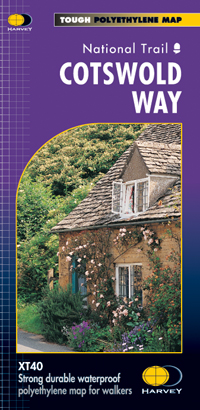
- Cotswold Way Harvey National Trail XT40
- The Cotswold Way, a 164km / 102 mile National Trail from Chipping Campden in the north to Bath in the south, presented at 1:40,000 on a light, waterproof and tear-resistant map from Harvey Map Services. The route is shown on nine panels, with additional small street plans of Chipping Campden and Bath.Maps in the Harvey’s series covering Great... Leer más
- Also available from:
- The Book Depository, United Kingdom
- De Zwerver, Netherlands

United Kingdom
- Cotswold Way
- The Cotswold Way, a 164km / 102 mile National Trail from Chipping Campden in the north to Bath in the south, presented at 1:40,000 on a light, waterproof and tear-resistant map from Harvey Map Services. The route is shown on nine panels, with additional small street plans of Chipping Campden and Bath.Maps in the Harvey Leer más

Netherlands
- Wandelkaart Cotswold Way | Harvey Maps
- The Cotswold Way, a 164km / 102 mile National Trail from Chipping Campden in the north to Bath in the south, presented at 1:40,000 on a light, waterproof and tear-resistant map from Harvey Map Services. The route is shown on nine panels, with additional small street plans of Chipping Campden and Bath.Maps in the Harvey Leer más

United Kingdom
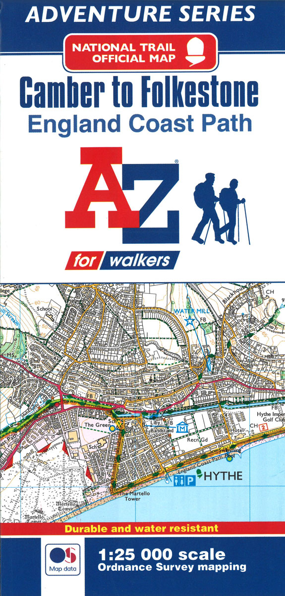
- England Coast Path - Camber to Folkestone Adventure Map
- The A-Z Adventure Series of maps combines the best of OS and A-Z, creating the perfect companion for walkers, off-road cyclists, horse riders and anyone wishing to explore the great outdoors.This official Camber to Folkestone Adventure Map section of the England Coast Path, a new National Trail around England`s coast. More than just a path, it... Leer más
- Also available from:
- Bol.com, Netherlands
- Bol.com, Belgium
Netherlands
- England Coast Path Camber to Folkestone Adventure Map
- The A-Z Adventure Series of maps combines the best of OS and A-Z, creating the perfect companion for walkers, off-road cyclists, horse riders and anyone wishing to explore the great outdoors.This official Camber to Folkestone Adventure Map section of the England Coast Path, a new National Trail around England`s coast. More than just a path, it... Leer más

Belgium
- England Coast Path Camber to Folkestone Adventure Map
- The A-Z Adventure Series of maps combines the best of OS and A-Z, creating the perfect companion for walkers, off-road cyclists, horse riders and anyone wishing to explore the great outdoors.This official Camber to Folkestone Adventure Map section of the England Coast Path, a new National Trail around England`s coast. More than just a path, it... Leer más
Netherlands
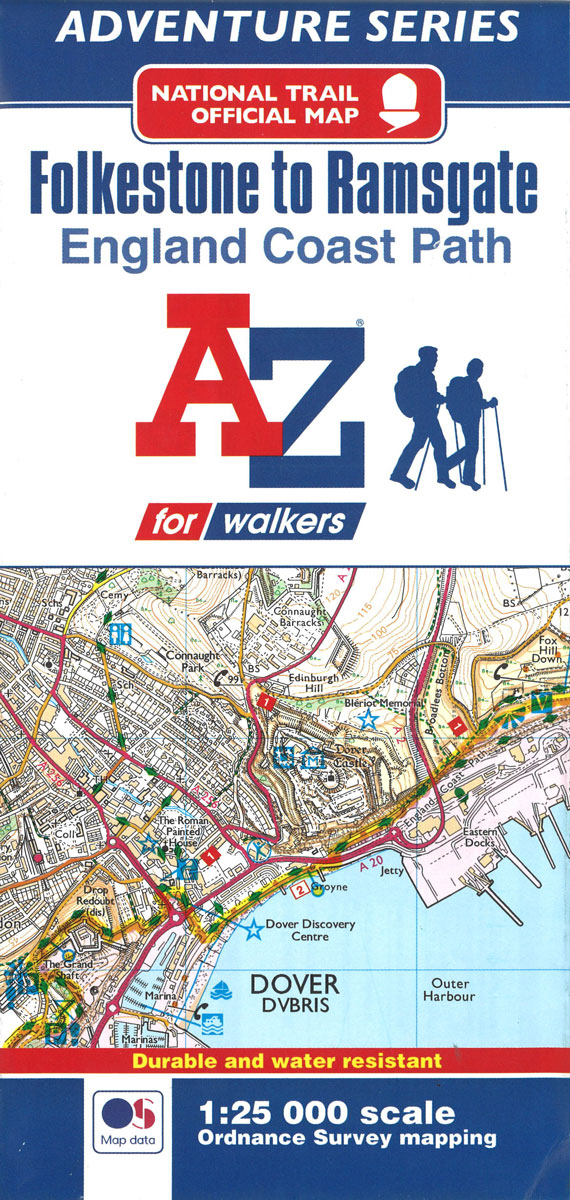
- England Coast Path Folkestone to Ramsgate Adventure Map
- The A-Z Adventure Series of maps combines the best of OS and A-Z, creating the perfect companion for walkers, off-road cyclists, horse riders and anyone wishing to explore the great outdoors.This official Folkestone to Ramsgate Adventure Map section of the England Coast Path, a new National Trail around England`s coast. More than just a path,... Leer más
- Also available from:
- Bol.com, Belgium

Belgium
- England Coast Path Folkestone to Ramsgate Adventure Map
- The A-Z Adventure Series of maps combines the best of OS and A-Z, creating the perfect companion for walkers, off-road cyclists, horse riders and anyone wishing to explore the great outdoors.This official Folkestone to Ramsgate Adventure Map section of the England Coast Path, a new National Trail around England`s coast. More than just a path,... Leer más
United Kingdom
2017
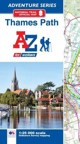
- Thames Path A-Z Adventure Atlas
- The A-Z Adventure series features the accuracy and quality of Ordnance Survey`s Explorer mapping in a convenient book, therefore eliminating the need to fold and re-fold a large sheet map to the desired area. OS Explorer is Ordnance Survey`s most detailed mapping at a scale of 1:25 000 showing public rights of way, open access land, national... Leer más
- Also available from:
- Bol.com, Netherlands
- Bol.com, Belgium

Netherlands
2017
- Thames Path Adventure Atlas
- The A-Z Adventure series features the accuracy and quality of Ordnance Survey`s Explorer mapping in a convenient book, therefore eliminating the need to fold and re-fold a large sheet map to the desired area. OS Explorer is Ordnance Survey`s most detailed mapping at a scale of 1:25 000 showing public rights of way, open access land, national... Leer más

Belgium
2017
- Thames Path Adventure Atlas
- The A-Z Adventure series features the accuracy and quality of Ordnance Survey`s Explorer mapping in a convenient book, therefore eliminating the need to fold and re-fold a large sheet map to the desired area. OS Explorer is Ordnance Survey`s most detailed mapping at a scale of 1:25 000 showing public rights of way, open access land, national... Leer más


