
Berner Oberland
Descripción
Mapa

Senderos en región
Enlaces
Datos
Informes
Guías y mapas
Hospedaje
Organizaciones
Operadores turísticos
GPS
Otro
Libros
The Book Depository
United Kingdom
United Kingdom
- Bernese Alps Western Touring Route
- Route Guide to the Long Distance Alpine Walk Leer más

The Book Depository
United Kingdom
2023
United Kingdom
2023
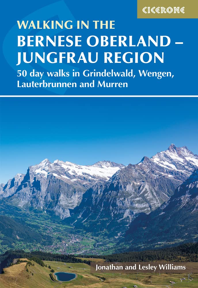
- Walking in the Bernese Oberland - Jungfrau region
- 50 day walks in Grindelwald, Wengen, Lauterbrunnen and Murren Leer más
- Also available from:
- De Zwerver, Netherlands
De Zwerver
Netherlands
2023
Netherlands
2023
- Wandelgids Walking in the Bernese Oberland | Cicerone
- 50 day walks in Grindelwald, Wengen, Lauterbrunnen and Murren Leer más

- Also available from:
- De Zwerver, Netherlands

The Book Depository
United Kingdom
United Kingdom
- Best Hiking in Switzerland in the Valais, Bernese Alps, the Engadine and Davos
- Over 100 Hikes in the Spectacular Swiss Alps Leer más

The Book Depository
United Kingdom
2018
United Kingdom
2018
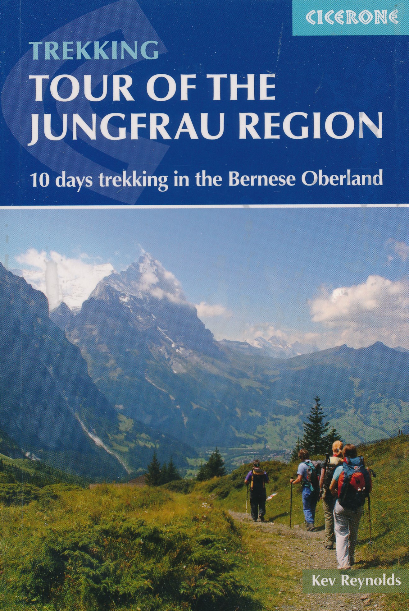
- Tour of the Jungfrau Region
- 10 days trekking in the Bernese Oberland Leer más
- Also available from:
- De Zwerver, Netherlands
De Zwerver
Netherlands
2018
Netherlands
2018
- Wandelgids Tour of the Jungfrau Region - Berner Oberland | Cicerone
- The Tour of the Jungfrau Region is described as a clockwise circuit of 111km beginning at Schynige Platte and ending at Wilderswil. It is broken into 10 stages (with alternatives offered), through the Bernese Oberland under the Mönch, Eiger and Jungfrau. With spectacular mountain views, glaciers, lakes and ridges, it is a classic walk. Leer más

De Zwerver
Netherlands
2022
Netherlands
2022
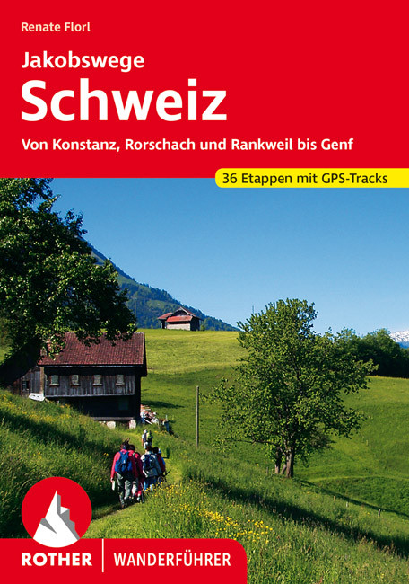
- Wandelgids Jakobswege Schweiz (Jakobsweg Zwitserland) | Rother Bergverlag
- Deze wandelgids beschrijft de Jakobsweg van Koblenz, Rorschach en Rankweil (Oostenrijk) bij Geneve en aan de Franse grens. Het geheel is opgedeeld in 36 etappes die precies beschreven zijn en aangevuld met goeie wandelkaartjes en GPS tracks (te downloaden). Overnachtingsmogelijkheden, bezienswaardigheden en achtergrondinformatie maken dit... Leer más

Bol.com
Netherlands
Netherlands
- Un Jubilado En Los Alpes
- Se aproximaba el verano y era necesario decidirse. Entre unos pocos proyectos previstos hasta esos dias, que habian ido surgiendo en mi imaginacion durante el invierno, se fueron concretando a mitad de la primavera la posibilidad de caminar por el Himalaya, en Cachemira, recorrer algunos valles del Caucaso al norte de Georgia o atravesar los... Leer más
- Also available from:
- Bol.com, Belgium
Bol.com
Belgium
Belgium
- Un Jubilado En Los Alpes
- Se aproximaba el verano y era necesario decidirse. Entre unos pocos proyectos previstos hasta esos dias, que habian ido surgiendo en mi imaginacion durante el invierno, se fueron concretando a mitad de la primavera la posibilidad de caminar por el Himalaya, en Cachemira, recorrer algunos valles del Caucaso al norte de Georgia o atravesar los... Leer más
Bol.com
Netherlands
Netherlands
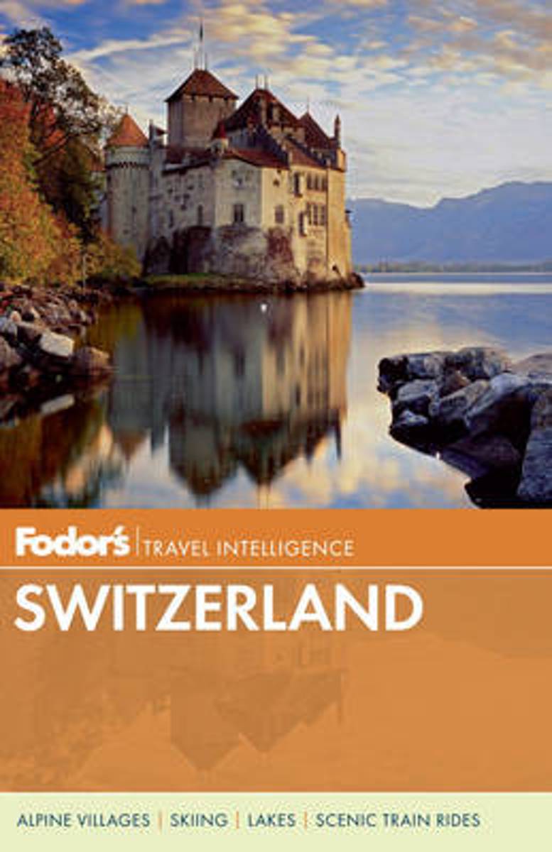
- Fodor's Switzerland
- Switzerland, Europe's mountain playground, is a classic tourist draw that remains consistently popular. Visitors from the world over travel here to ascend the slopes of the Alps, breathe the crisp air, and feel on top of the world. When they come down from the mountains, they find thriving, cosmopolitan cities that are steeped in history and... Leer más
- Also available from:
- Bol.com, Belgium
Bol.com
Belgium
Belgium
- Fodor's Switzerland
- Switzerland, Europe's mountain playground, is a classic tourist draw that remains consistently popular. Visitors from the world over travel here to ascend the slopes of the Alps, breathe the crisp air, and feel on top of the world. When they come down from the mountains, they find thriving, cosmopolitan cities that are steeped in history and... Leer más

Stanfords
United Kingdom
United Kingdom
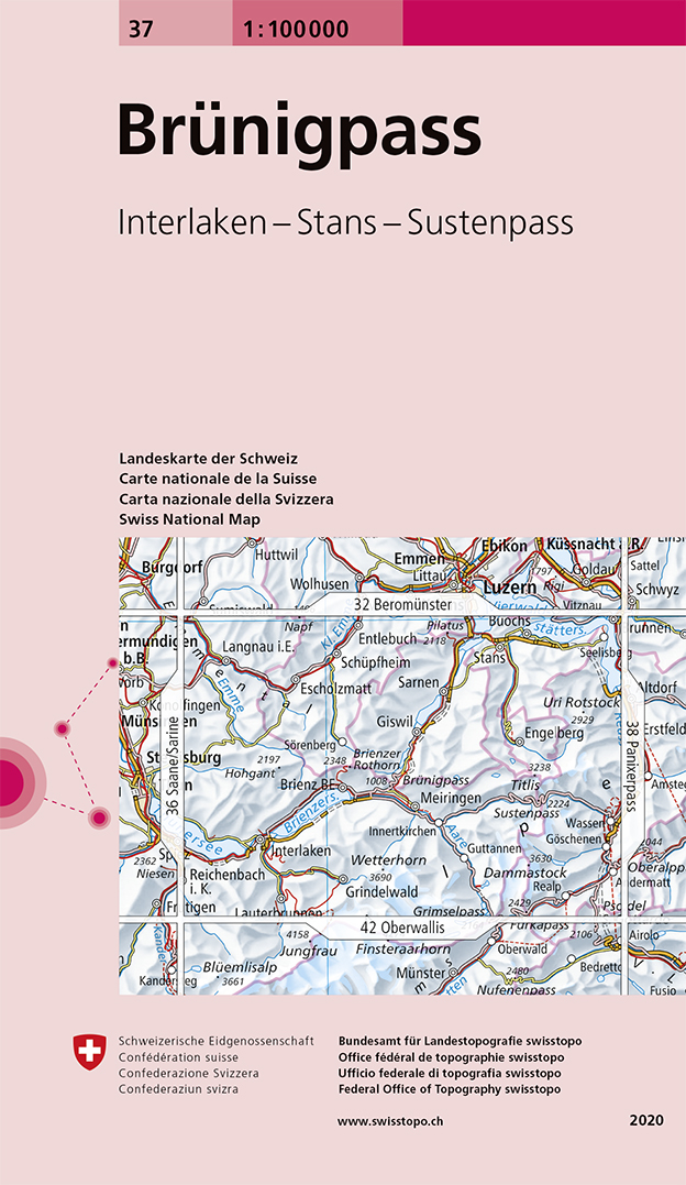
- Brünigpass Swisstopo 37
- Swiss topographic survey at 1:100,000 from Swisstopo, highly regarded for it superb use of graphic relief and hill shading, presenting an almost 3-D picture of the country`s mountainous terrain. Coverage is available either as small size standard sheets – Nos 26 to 48, each covering 70 x 48 km / 43 x 30 miles approx, or as larger size maps -... Leer más
- Also available from:
- De Zwerver, Netherlands
De Zwerver
Netherlands
Netherlands
- Fietskaart - Topografische kaart - Wegenkaart - landkaart 37 Brünigpass | Swisstopo
- Swisstopo 1 : 100 000. Neuauflage. Leer más
De Zwerver
Netherlands
2021
Netherlands
2021
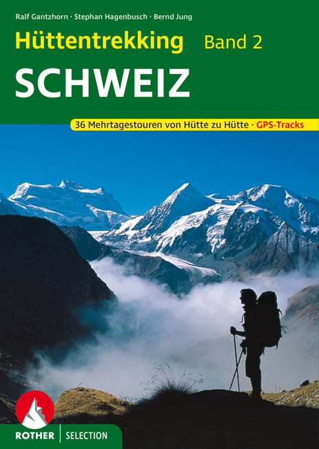
- Wandelgids Hüttentrekking Schweiz - Zwitserland Band 2 | Rother Bergverlag
- Absolute aanrader als het gaat om meerdaagse tochten van hut naar hut in Zwitserland. Gedegen Duitstalig boek! Die Schweiz gilt als Inbegriff einer schönen Landschaft. Nicht zufällig werden weltweit die unterschiedlichsten Regionen mit dem Beinamen der kleinen Alpenrepublik versehen und stets ist ein besonders reizvolles Fleckchen unserer Erde... Leer más

Stanfords
United Kingdom
2017
United Kingdom
2017
- The Swiss Alpine Pass Route - via Alpina Route 1: Trekking East to West Across Switzerland
- This guidebook presents the stunning Alpine Pass Route, now fully waymarked as Via Alpina 1. The 360km trail traverses Switzerland from east to west, from Sargans near the Liechtenstein border to Montreux on Lac Leman (Lake Geneva). Crossing sixteen Alpine passes, it showcases some of the country`s most breathtaking mountain landscapes,... Leer más
- Also available from:
- Bol.com, Netherlands
- Bol.com, Belgium

Bol.com
Netherlands
2017
Netherlands
2017
- The Swiss alpine pass route - Via Alpina route 1
- This guidebook presents the stunning Alpine Pass Route, now fully waymarked as Via Alpina 1. The 360km trail traverses Switzerland from east to west, from Sargans near the Liechtenstein border to Montreux on Lac Léman (Lake Geneva). Crossing sixteen Alpine passes, it showcases some of the country's most breathtaking mountain landscapes,... Leer más
Bol.com
Belgium
2017
Belgium
2017
- The Swiss alpine pass route - Via Alpina route 1
- This guidebook presents the stunning Alpine Pass Route, now fully waymarked as Via Alpina 1. The 360km trail traverses Switzerland from east to west, from Sargans near the Liechtenstein border to Montreux on Lac Léman (Lake Geneva). Crossing sixteen Alpine passes, it showcases some of the country's most breathtaking mountain landscapes,... Leer más
Bol.com
Netherlands
Netherlands
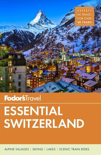
- Fodor's Essential Switzerland
- Written by local experts, Fodor's travel guides have been offering advice and professionally vetted recommendations for all tastes and budgets for 80 years.Switzerland, Europe's mountain playground, is a classic tourist draw. Fodor's Switzerland is the perfect guide for travelers seeking to ascend the slopes of the Alps and feel on top of the... Leer más
- Also available from:
- Bol.com, Belgium
Bol.com
Belgium
Belgium
- Fodor's Essential Switzerland
- Written by local experts, Fodor's travel guides have been offering advice and professionally vetted recommendations for all tastes and budgets for 80 years.Switzerland, Europe's mountain playground, is a classic tourist draw. Fodor's Switzerland is the perfect guide for travelers seeking to ascend the slopes of the Alps and feel on top of the... Leer más
Bol.com
Netherlands
Netherlands
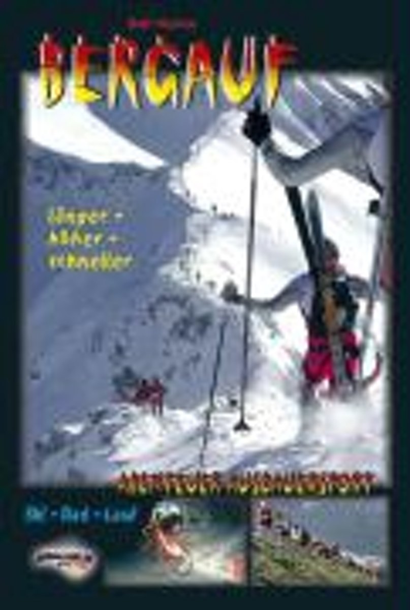
- Bergauf - Abenteuer Ausdauersport
- "BERGAUF" gibt einen faszinierenden und einmaligen Einblick in das Leben eines Menschen, der Spa am (Extrem-) Sport und Liebe zur Natur in gro artiger Weise zu verbinden versteht. Der Autor bringt einen spannenden Mix seiner Erlebnisse und Erfahrungen beim hochalpinen Skibergsteigen, Rad-Bergrennen, Berg- und Treppenlaufen und erg nzt seine... Leer más
- Also available from:
- Bol.com, Belgium
Bol.com
Belgium
Belgium
- Bergauf - Abenteuer Ausdauersport
- "BERGAUF" gibt einen faszinierenden und einmaligen Einblick in das Leben eines Menschen, der Spa am (Extrem-) Sport und Liebe zur Natur in gro artiger Weise zu verbinden versteht. Der Autor bringt einen spannenden Mix seiner Erlebnisse und Erfahrungen beim hochalpinen Skibergsteigen, Rad-Bergrennen, Berg- und Treppenlaufen und erg nzt seine... Leer más
Más libros…

Mapas

Stanfords
United Kingdom
United Kingdom
- Styrian Winelands - Southwest Styria F&B WK411
- Styrian Winelands area south-eastern Austria presented at 1:50,000 in a series of contoured and GPS compatible outdoor leisure map from Freytag & Berndt with hiking and cycling routes, mountain huts, campsites and youth hostels, local bus stops, plus other tourist information. To see the list of currently available titles in this series please... Leer más

Stanfords
United Kingdom
United Kingdom
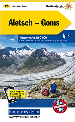
- Goms - Aletsch
- Goms - Aletsch area of the Bernese Oberland at 1:50,000 in a series from Hallwag covering Switzerland’s popular hiking regions on light, waterproof and tear-resistant maps highlighting long-distance paths: the nine national routes plus special regional routes, as well as other local hiking trails.Cartography is similar to that used both in... Leer más

Stanfords
United Kingdom
United Kingdom
- Lake Como K+F Outdoor Map 9
- Lake Como area at 1:50,000 on a double-sided, waterproof and tear-resistant, GPS compatible and contoured recreational maps from Kümmerly + Frey with both local and long-distance hiking and cycling trails, ski routes, sites for other outdoor pursuits, accommodation, bus stops, etc. Coverage includes the northern part of Lake Lugano and extends... Leer más

Stanfords
United Kingdom
United Kingdom
- Saanenland: Gstaad - Lenk - Adelboden
- 33 specially selected hiking trails in the western part of the Bernese Oberland, around Gstaad, Lenk and Adelboden, presented at 1:50,000 on a waterproof and tear-resistant, contoured and GPS compatible map from the Hallwag/Kümmerly + Frey group, with route profiles, grading for the severity of the terrain and the degree of fitness required,... Leer más

Stanfords
United Kingdom
United Kingdom
- Heidiland - UNESCO Tectonic Arena Sardona 50K K+F Hiking Map No. 33
- Heidiland, including the Swiss Tectonic Arena Sardona – a UNESCO World Heritage Site, at 1:50,000 in Kümmerly + Frey’s hiking series of Switzerland printed on light, waterproof and tear-resistant plastic paper. Coverage includes Walensee, Flumserberg, Pizol, Weisstannental, Sarganserland and Taminatal. Hiking trails highlighted on the map... Leer más

Stanfords
United Kingdom
United Kingdom
- Interlaken - Grindelwald 50K Hallwag Mountainbike Map No.23
- Interlaken - Grindelwald area of the Bernese Oberland on a mountain bike map at 1:50,000 in a series of waterproof and tear-resistant, contoured mountain biking maps from Hallwag, each highlighting several circuits and providing route profiles, guidance on the difficulty and overall experience, etc. Each map in this series is printed on sturdy,... Leer más

Stanfords
United Kingdom
United Kingdom
- Thuner See - Central Switzerland Swisstopo 101
- The Alps of central Switzerland on a Swiss topographic survey map at 1:100,000. Coverage extends south from Luzern to Grindelwald and the Alps of the Bernese Oberland and the Gotthard Pass.Maps in the Swiss topographic survey at 1:100,000 from Swisstopo are highly regarded for their superb use of graphic relief and hill shading, presenting an... Leer más

Stanfords
United Kingdom
United Kingdom
- Val Brembana - Valsassina - Le Grigne: Lecco - Bergamo 50K IGC Map No. 22
- Val Brembana - Valsassina - Le Grigne area including Lecco and Bergamo in a series contoured hiking maps at 1:50,000 with local trails, long-distance footpaths, mountain accommodation, etc. from the Turin based Istituto Geografico Centrale.Maps in this series have contours at 50m intervals, enhanced by shading and graphic relief. An overprint... Leer más

Stanfords
United Kingdom
United Kingdom
- Cinque Terre - Golfo del Tigullio: La Spezia - Sestri Levante - Rapallo - Genoa 50K IGC Map No. 23
- Cinque Terre - Golfo del Tigullio area of the Italian Riviera from genoa to la Spezia including Sestri Levante and Rapallo in a series contoured hiking maps at 1:50,000 with local trails, long-distance footpaths, mountain accommodation, etc. from the Turin based Istituto Geografico Centrale.Maps in this series have contours at 50m intervals,... Leer más

Stanfords
United Kingdom
United Kingdom
- Val Venosta / Vinschgau K+F Outdoor Map 1
- Val Venosta / Vinschgau area in the Dolomites at 1:50,000 in a series of waterproof and tear-resistant, GPS compatible and contoured recreational maps from Kümmerly + Frey with both local and long-distance hiking and cycling trails, ski routes, sites for other outdoor pursuits, accommodation, bus stops, etc. Coverage includes the Ortles/Ortler... Leer más
Stanfords
United Kingdom
United Kingdom
- Haslital: Grindelwald - Engelberg 50K Hallwag Outdoor Map No. 5
- Haslital area, from Grindelwald to Engelberg, at 1:50,000 in a series from Hallwag covering Switzerland’s popular hiking regions on light, waterproof and tear-resistant maps highlighting long-distance paths: the nine national routes plus special regional routes, as well as other local hiking trails.Cartography is similar to that used both in... Leer más
Stanfords
United Kingdom
United Kingdom
- Adelboden - Lenk
- Adelboden - Lenk area of the western Bernese Oberland, from Gstaad to Frutigen and Leukerbad at 1:50,000 in a series from Hallwag covering Switzerland’s popular hiking regions on light, waterproof and tear-resistant maps highlighting long-distance paths: the nine national routes plus special regional routes, as well as other local hiking... Leer más
Stanfords
United Kingdom
United Kingdom
- Montreux
- Montreux - Col du Pillon area at 1:50,000 in a series from Hallwag covering Switzerland’s popular hiking regions on light, waterproof and tear-resistant maps highlighting long-distance paths: the nine national routes plus special regional routes, as well as other local hiking trails.Cartography is similar to that used both in Hallwag’s hiking... Leer más
Stanfords
United Kingdom
United Kingdom
- Gstaad - Adelboden - Lenk Hallwag Mountain Bike Map
- Western Bernese Oberland Mountain Bike Map, covering the Gstaad - Adelboden - Lenk area, at 1:50,000 in a series of waterproof and tear-resistant, contoured mountain biking maps from Hallwag, each highlighting several circuits and providing route profiles, guidance on the difficulty and overall experience, etc. Each map in this series is... Leer más

Stanfords
United Kingdom
United Kingdom
- Lake Maggiore - Lake Orta - Lake Varese K+F Outdoor Map 8
- Lake Maggiore - Lake Orta - Lake Varese area at 1:50,000 in a series of waterproof and tear-resistant, GPS compatible and contoured recreational maps from Kümmerly + Frey with both local and long-distance hiking and cycling trails, ski routes, sites for other outdoor pursuits, accommodation, bus stops, etc. An inset provides a small road map of... Leer más