
Karnischer Höhenweg
Descripción
- Name Karnischer Höhenweg (403)
- Distancia de sendero 160 km, 99 millas
- Duración en días 11 días
- Inicio de sendero Sillian
- Fin de sendero Thörl-Maglern
- Clasificación Traildino SW, Caminata extenuante, sendero de montaña
- Clasificación Travesía de refugios T2, Caminata de montaña


Sillian – Nassfeld - Thörl-Maglern, 160 km, 11 days
The Karnischer Höhenweg is a marked trail following the ridge of the Karnischer Massif. The trail stays high up in the mountains, and often one foot is in Austria while the other is in Italy. On the northern side you might see the Grossglockner when the weather is clear. On the southern side you can view the spectacular Dolomites.
Until worldwar I, also the southern region, known as Süd Tirol, was Austrian. Today still you will find many people speaking German. The worldwars left their mark in the mountains, lucky for us with some good paths cut out of the rocks. The hike is strenuous, not difficult, and the huts are great.
Starting point is the pass over the frontier between Lienz and Brunico. First hut is the Sillianer Hütte. And from there on the trail follows the ridge eastbound. The highest point you reach is the Pfannspitz (2678 m). Much of the trail coincides with the E10, the Austrian Weitwanderweg 03, and the Via Alpina.
Mapa


")
")


")

")


")
")


")

")


")
")
")
")


")


Enlaces
Datos
Informes
Guías y mapas
Hospedaje
Organizaciones
Operadores turísticos
GPS
Otro
Libros

United Kingdom
2018
- The Karnischer Hohenweg
- A 1-2 week trek on the Carnic Peace Trail: Austria and Italy Leer más
- Also available from:
- De Zwerver, Netherlands

Netherlands
2018
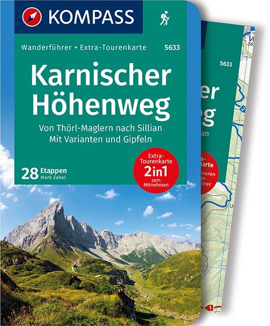
- Wandelgids Trekking the Karnischer Höhenweg | Cicerone
- English-language guidebook to the Karnischer Höhenweg, a 206km waymarked hut-to-hut trek along the border between Italy and Austria. Also known as the Carnic Peace Trail, it runs west to east along the Ridge of the Carnic Alps, the site of the WW1 front line. With information on planning your trip, accommodation and the history of the area. Leer más
Netherlands
2022
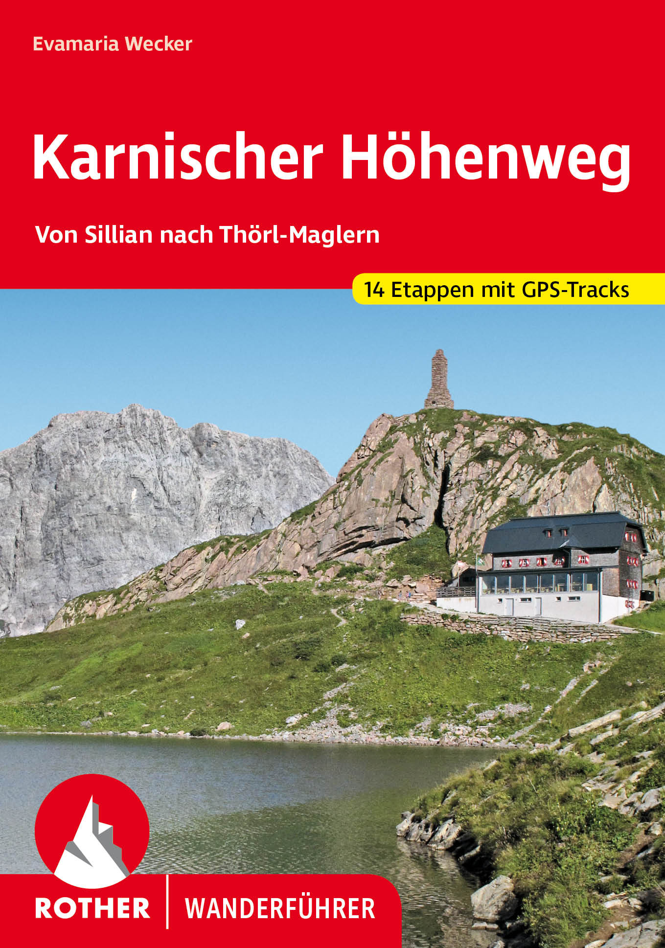
- Wandelgids Karnischer Höhenweg | Rother Bergverlag
- Goede duidelijke beschrijving van deze meerdaagse wandeltocht. Voldoende info, zelfs kaartjes zijn behoorlijk goed en voldoende! Unter den Mehrtagestouren von Hütte zu Hütte nimmt der Karnische Höhenweg eine Sonderstellung ein: Er »verdankt« seine Entstehung der österreichisch-italienischen Frontlinie im Ersten Weltkrieg, die sich entlang der... Leer más
Mapas
Netherlands
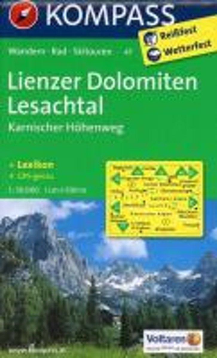
- Lienzer Dolomiten, Lesachtal WK47
- Die KOMPASS Wanderkarten überzeugen durch eine GPS-genaue und aktuelle Karte zur einfachen Orientierung den beigelegten Kurzführer zu Wissenswerten in der Region Herstellung auf robustem reiß- und wetterfesten PapierDeze Kompass wandelkaart, schaal 1:50 000, is ideaal om uw route uit te stippelen en om onderweg te gebruiken • naast de bekende... Leer más
- Also available from:
- Bol.com, Belgium
Belgium
- Lienzer Dolomiten, Lesachtal WK47
- Die KOMPASS Wanderkarten überzeugen durch eine GPS-genaue und aktuelle Karte zur einfachen Orientierung den beigelegten Kurzführer zu Wissenswerten in der Region Herstellung auf robustem reiß- und wetterfesten PapierDeze Kompass wandelkaart, schaal 1:50 000, is ideaal om uw route uit te stippelen en om onderweg te gebruiken • naast de bekende... Leer más