
Grande Traversata delle Alpi
Descripción
- Name Grande Traversata delle Alpi (GTA)
- Distancia de sendero 1,000 km, 621 millas
- Duración en días 70 días
- Inicio de sendero Viozene
- Fin de sendero Molik Calasca
- Clasificación Traildino SW, Caminata extenuante, sendero de montaña
- Clasificación Travesía de refugios T2, Caminata de montaña


gta

Viozene - Molini Calasca, Piemonte, 1000 km, 70 days
The Italian Alpine Traverse was inspired by the French success of the Grande Traversée des Alpes. Starting in Viozene on the Mediterranean and ending at the foot of the Monte Rosa in Molini Calasca, the trail counts 55 day sections. Often the day ends in a refuge, but on other days you will sleep in a posto tappa GTA, simple lodges in mountain villages, sometimes serving food, sometimes self catering. During high season (August) reservations are advisable. The 1000 km or so are marked “GTA”. The trail was set out along existing paths, mostly along the watershed near the French and Swiss border. The character of the trail is comparable to that of a regular Alpine huts trekking.
Select some tracks
☐Grande Traversata delle Alpi
☐GTA:Colle della Lace-Quincinetto, via Trovinasse, 12km
☐(no name), 17km
☐Grande Traversata delle Alpi, 1.7km
☐Grande Traversata delle Alpi, 0.9km
☐relation maintained by gianfox (CAI-Ivrea), 9km
☐GTAC06N:Le_Capanne-Alpe_Chiaromonte, 4.6km
☐Grande traversata del Biellese, 231km
☐Grande traversata delle Alpi
☐Sentiero Italia - Tappa E62, 8.4km
☐Report and verification CAI Varzo, 2.1km
☐Waterfront Trail: GTA West, 53km
☐GTA: Salbertrand - San Giuseppe di Mompantero, 21km
☐GTA: Giaglione San Lorenzo - Susa, 3.8km
☐GTA 01, 2km
☐Grande Traversée des Alpes - variante Montchavin (ancien tracé principal), 8.8km
☐Tour Monte Rosa tappa 5, 22km
Enlaces
Datos
Informes
Guías y mapas
Hospedaje
Organizaciones
Operadores turísticos
GPS
Otro
Libros

Stanfords
United Kingdom
United Kingdom
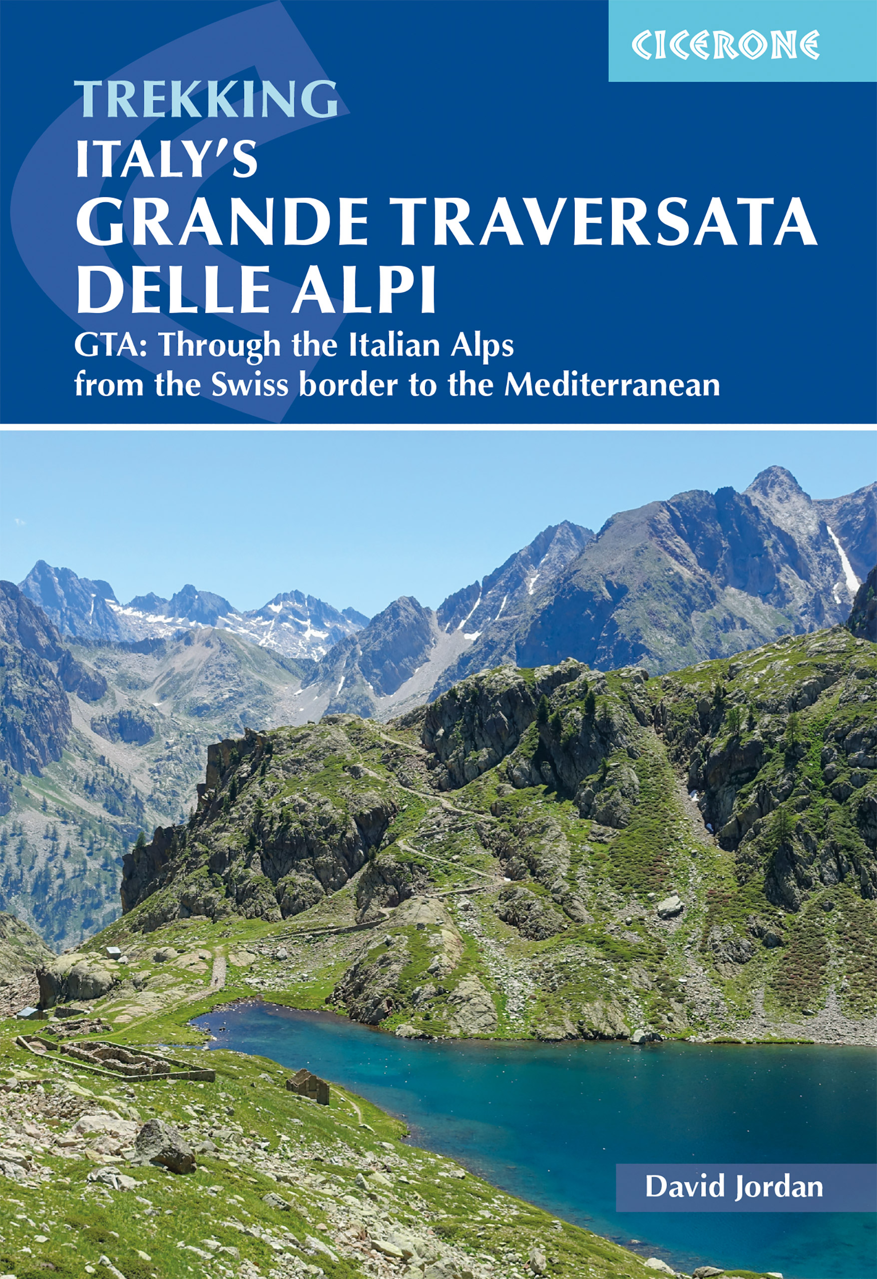
- GTA Grande Traversata delle Alpi - long-distance Route across the Italian Alps Rother Guide
- GTA - Grande Traversata delle Alpi, one of Italy’s most popular long-distance trails, described state-by-stage in a detailed pocket guide from Bergverlag Rother, specialist in hiking guides to numerous locations across Europe. The guide takes as its starting point Alpe di Cruina in Switzerland, crossing over to Italy across the Griespass. The... Leer más
- Also available from:
- The Book Depository, United Kingdom

The Book Depository
United Kingdom
United Kingdom
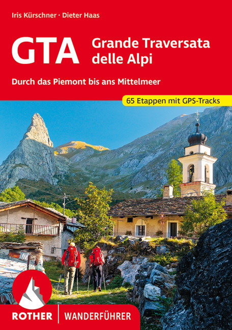
- GTA - Grande Traversata delle Alpi walking g.
- Through the Piedmont to the Mediterranean. 65 Stages. With GPS - Tracks Leer más

The Book Depository
United Kingdom
2016
United Kingdom
2016
- The GR5 Trail
- Through the French Alps from Lake Geneva to Nice Leer más
- Also available from:
- Bol.com, Netherlands
- Bol.com, Belgium
- De Zwerver, Netherlands
Bol.com
Netherlands
2016
Netherlands
2016
- The GR5 trail
- The GR5 is one of the world's most spectacular long-distance trails. This guide describes the route from the shores of Lac L man (lake Geneva) over the Alps and down to the trail's finish at Nice. Interesting variant routes include the stunning GR55 through the Vanoise National Park and the GR52, which crosses the Mercantour National Park to... Leer más
Bol.com
Belgium
2016
Belgium
2016
- The GR5 trail
- The GR5 is one of the world's most spectacular long-distance trails. This guide describes the route from the shores of Lac L man (lake Geneva) over the Alps and down to the trail's finish at Nice. Interesting variant routes include the stunning GR55 through the Vanoise National Park and the GR52, which crosses the Mercantour National Park to... Leer más
De Zwerver
Netherlands
2016
Netherlands
2016
- Wandelgids The GR5 Trail - The Alps | Cicerone
- An essential guidebook for walking the GR5 trail, 660km from Lac Leman (Lake Geneva) to Nice or Menton, through the French Alps. Includes all the main variant routes as it passes Mont Blanc, then through the Vanoise, the Queyras and the Mercantour National Parks. Includes accommodation, profiles and maps. Suitable for fairly experienced hikers. Leer más
De Zwerver
Netherlands
2018
Netherlands
2018
De Zwerver
Netherlands
2021
Netherlands
2021
De Zwerver
Netherlands
2018
Netherlands
2018


The Book Depository
United Kingdom
2011
United Kingdom
2011
- Trekking in the Alps
- An inspirational guidebook to 20 classic treks in the Alps. As well as introducing new hiking areas in the Alps, classics such as the Tour of Mont Blanc, and Chamonix to Zermatt are included. Trekking in the Alps is immensely satisfying, and this book celebrates the rich and scenic diversity for which this great mountain range is renowned. Leer más
- Also available from:
- Bol.com, Netherlands
- Bol.com, Belgium
- De Zwerver, Netherlands

Bol.com
Netherlands
2011
Netherlands
2011
- Trekking in the Alps
- An inspirational guide to the delights of Alpine multi-day hikes. With 20 hikes described, including classics such as the Tour of Mont Blanc and the Tour of the Vanoise as well as new multi-day routes like the Traverse of the Slovenian Alps, this guide celebrates the rich scenic diversity for which the Alps are renowned.The eight talented... Leer más
Bol.com
Belgium
2011
Belgium
2011
- Trekking in the Alps
- An inspirational guide to the delights of Alpine multi-day hikes. With 20 hikes described, including classics such as the Tour of Mont Blanc and the Tour of the Vanoise as well as new multi-day routes like the Traverse of the Slovenian Alps, this guide celebrates the rich scenic diversity for which the Alps are renowned.The eight talented... Leer más

De Zwerver
Netherlands
2019
Netherlands
2019
- Wandelgids Trekking in the Alps | Cicerone
- An inspirational guidebook to 20 classic treks in the Alps. As well as introducing new hiking areas in the Alps, classics such as the Tour of Mont Blanc, and Chamonix to Zermatt are included. Trekking in the Alps is immensely satisfying, and this book celebrates the rich and scenic diversity for which this great mountain range is renowned. Leer más
De Zwerver
Netherlands
2022
Netherlands
2022
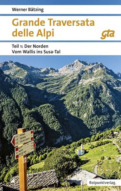
- Wandelgids GTA - Grande Traversata delle Alpi Durch das Piemont bis ans Mittelmeer | Rother Bergverlag
- Uitstekende wandelgids met beschrijving van de Grande Traversata delle Alpi. Met praktische informatie en beperkt kaartmateriaal! Wandelingen in verschillende zwaarte weergegeven in rood/blauw/zwart. Die Grande Traversata delle Alpi, kurz GTA, führt mit gewaltiger 4000er-Kulisse vom Nufenenpass an der Schweizer Grenze auf alten Saumwegen durch... Leer más
Mapas

Stanfords
United Kingdom
United Kingdom
- Valle Maira l`Escursionista Editore
- Valle Maira, at 1:25,000 on a waterproof and tear-resistant, double-sided, contoured and GPS-compatible map from the Istituto Geografico Adriatico with an overprint highlighting numerous local and long-distance hiking trails, including the GTA (Grande Traversata delle Alpi). The map shows various types of accommodation (huts and refuges, B&Bs,... Leer más

Stanfords
United Kingdom
United Kingdom
- Gran Paradiso - Valle d`Aosta - Valle del`Orco Kompass 86
- Gran Paradiso - Valle d`Aosta area of the Italian Alps on a GPS compatible hiking and recreational map at 1:50,000 from Kompass on durable, waterproof and tear-resistant synthetic paper. Coverage includes Cogne, Valgrisenche, Val di Rhèmes, Valsavarenche, Valle Soana and Val dell’Orco, as well as a section of the GTA – Grande Travesata delle... Leer más

Stanfords
United Kingdom
United Kingdom
- Val Brembana - Valsassina - Le Grigne: Lecco - Bergamo 50K IGC Map No. 22
- Val Brembana - Valsassina - Le Grigne area including Lecco and Bergamo in a series contoured hiking maps at 1:50,000 with local trails, long-distance footpaths, mountain accommodation, etc. from the Turin based Istituto Geografico Centrale.Maps in this series have contours at 50m intervals, enhanced by shading and graphic relief. An overprint... Leer más

Stanfords
United Kingdom
United Kingdom
- Cinque Terre - Golfo del Tigullio: La Spezia - Sestri Levante - Rapallo - Genoa 50K IGC Map No. 23
- Cinque Terre - Golfo del Tigullio area of the Italian Riviera from genoa to la Spezia including Sestri Levante and Rapallo in a series contoured hiking maps at 1:50,000 with local trails, long-distance footpaths, mountain accommodation, etc. from the Turin based Istituto Geografico Centrale.Maps in this series have contours at 50m intervals,... Leer más

Stanfords
United Kingdom
United Kingdom
- Lanzo - Viù - Chialamberto - Locana 25K IGC Map No. 110
- Lanzo - Viù - Chialamberto - Locana – Cirié – Basse Valli di Lanzo area at 1:25,000 in a series of contoured, GPS compatible walking maps from the Turin based Istituto Geografico Centrale, highlighting hiking trails including long-distance routes, ski routes and alpine accommodation. Maps in this series have contours at 25m intervals, enhanced... Leer más

Stanfords
United Kingdom
United Kingdom
- Val Pellice
- Val Pellice area of the Italian Alps presented at 1:25,000 in a series of large, contoured and GPS compatible walking maps from Fraternali Editore, printed on light, waterproof and tear-resistant synthetic paper. Maps in this series have topography shown by contour lines at 5m intervals with relief shading, spot heights, and colouring and/or... Leer más

Stanfords
United Kingdom
2017
United Kingdom
2017
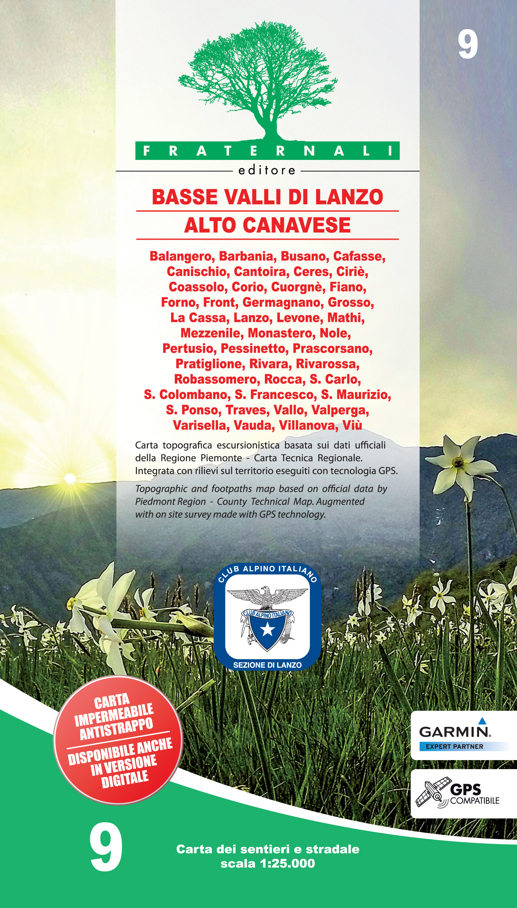
- Basse Valli di Lanzo - Alto Canavese Fraternali Editore 09
- Basse Valli di Lanzo - Alto Canavese - La Mandria - Val Ceronda e Casternone in the Italian Alps presented at 1:25,000 in a series of large, contoured and GPS compatible walking maps from Fraternali Editore, printed on light, waterproof and tear-resistant synthetic paper. Maps in this series have topography shown by contour lines at 5m... Leer más
- Also available from:
- De Zwerver, Netherlands
De Zwerver
Netherlands
2017
Netherlands
2017
- Wandelkaart 09 Basse Valli di Lanzo - Alto Canavese - la Mandria | Fraternali Editore
- Gebied: Lanzo, Balangero, Barbania, Cantoira, Ceres, Ciriè; Coassolo, Corio, Fiano, Forno, Front, Germaniano, Givoletto, La Cassa, Levone, Monastero, Pessinetto, Pratiglione,Rivara,Rivarossa, Rocca, S.Carlo, S.Gillio, S.Francesco.Traves, Val della Torre, Vallo,Varisella, Vauda, Venaria, Viù Een uitstekende wandelkaart van de westkant van Italie... Leer más

Stanfords
United Kingdom
2016
United Kingdom
2016
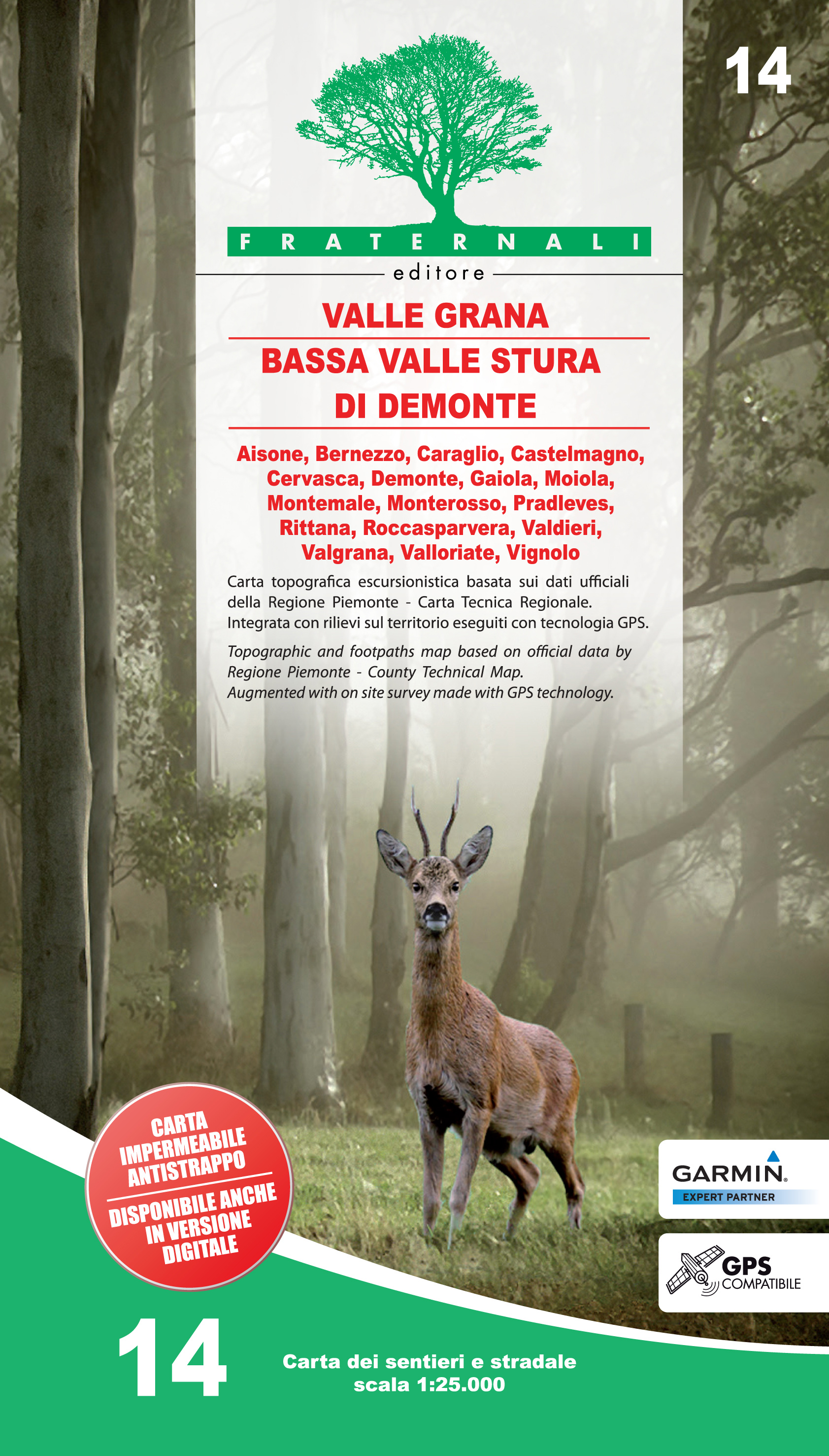
- Bassa Valle Stura di Demonte - Val Grana
- Bassa Valle Stura di Demonte - Val Grana area of the Italian Alps presented at 1:25,000 in a series of large, contoured and GPS compatible walking maps from Fraternali Editore, printed on light, waterproof and tear-resistant synthetic paper. Maps in this series have topography shown by contour lines at 5m intervals with relief shading, spot... Leer más
- Also available from:
- De Zwerver, Netherlands
De Zwerver
Netherlands
2016
Netherlands
2016
- Wandelkaart 14 Valle Grana, Bassa Valle Stura di Demonte | Fraternali Editore
- Bassa Valle Stura di Demonte - Val Grana area of the Italian Alps presented at 1:25,000 in a series of large, contoured and GPS compatible walking maps from Fraternali Editore, printed on light, waterproof and tear-resistant synthetic paper. Maps in this series have topography shown by contour lines at 5m intervals with relief shading, spot... Leer más

Stanfords
United Kingdom
2018
United Kingdom
2018
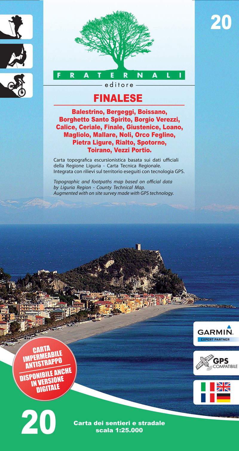
- Finalese
- Finalese area of the Italian Alps presented at 1:25,000 in a series of large, contoured and GPS compatible walking maps from Fraternali Editore, printed on light, waterproof and tear-resistant synthetic paper. Maps in this series have topography shown by contour lines at 5m intervals with relief shading, spot heights, and colouring and/or... Leer más
- Also available from:
- De Zwerver, Netherlands
De Zwerver
Netherlands
2018
Netherlands
2018
- Wandelkaart 20 Finalese | Fraternali Editore
- Val Vermenagna - Valle Pesio - Alta Valle Ellero area of the Italian Alps presented at 1:25,000 in a series of large, contoured and GPS compatible walking maps from Fraternali Editore, printed on light, waterproof and tear-resistant synthetic paper. Maps in this series have topography shown by contour lines at 5m intervals with relief shading,... Leer más

Stanfords
United Kingdom
2016
United Kingdom
2016
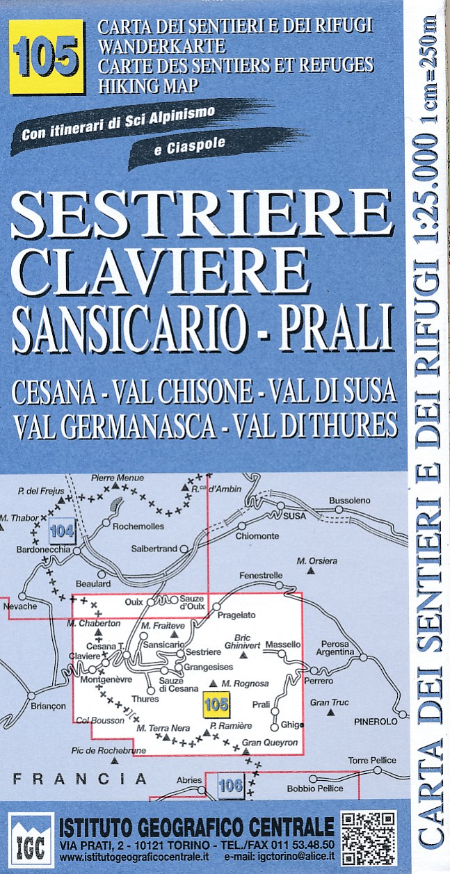
- Sestriere - Claviere Sansiciaro - Prali 25K IGC Map No. 105
- Sestriere - Claviere - Prali area at 1:25,000 in a series of contoured, GPS compatible walking maps from the Turin based Istituto Geografico Centrale, highlighting hiking trails including long-distance routes, ski routes and alpine accommodation. Maps in this series have contours at 25m intervals, enhanced by shading and graphic relief for very... Leer más
- Also available from:
- De Zwerver, Netherlands
De Zwerver
Netherlands
2016
Netherlands
2016
- Wandelkaart 105 Sestriere, Claviere, Sansicario, Prali | IGC - Istituto Geografico Centrale
- Sestriere - Claviere - Prali area at 1:25,000 in a series of contoured, GPS compatible walking maps from the Turin based Istituto Geografico Centrale, highlighting hiking trails including long-distance routes, ski routes and alpine accommodation. The maps have contours at 25m intervals, enhanced by shading and graphic relief for very clear... Leer más

Stanfords
United Kingdom
2017
United Kingdom
2017
- Maritime and Ligurian Alps IGC 8
- A cross-border area of the Maritime and Ligurian Alps at 1:50,000, with coverage on the Italian side including Limone, Alpi Maritime PN and Alta Valle Pesio e Tanaro PN, plus in France Tende, Vallée des Merveilles and Saorge, in a series contoured hiking maps with local trails, long-distance footpaths, mountain accommodation, etc. from the... Leer más
- Also available from:
- De Zwerver, Netherlands

De Zwerver
Netherlands
2017
Netherlands
2017
- Wandelkaart 08 Alpi marittime e Liguri | IGC - Istituto Geografico Centrale
- A cross-border area of the Maritime and Ligurian Alps at 1:50,000, with coverage on the Italian side including Limone, Alpi Maritime PN and Alta Valle Pesio e Tanaro PN, plus in France Tende, Vallée des Merveilles and Saorge, in a series contoured hiking maps with local trails, long-distance footpaths, mountain accommodation, etc. from the... Leer más

Stanfords
United Kingdom
2010
United Kingdom
2010
- Lanzo and Moncenisio Valleys IGC 2
- Lanzo and Moncenisio Valleys in a series contoured hiking maps at 1:50,000 with local trails, long-distance footpaths, mountain accommodation, etc. from the Turin based Istituto Geografico Centrale. This title also includes an overprint showing cycle routes.Maps in this series have contours at 50m intervals, enhanced by shading and graphic... Leer más
- Also available from:
- De Zwerver, Netherlands

De Zwerver
Netherlands
2010
Netherlands
2010
- Wandelkaart 02 Valli di lanzo e Moncenisio | IGC - Istituto Geografico Centrale
- Lanzo and Moncenisio Valleys, map no. 2, in a series contoured hiking maps at 1:50,000 with local trails, long-distance footpaths, mountain accommodation, etc. from the Turin based Istituto Geografico Centrale covering the Italian Alps and Piedmont, the lakes and northern Lombardy, and the Italian Riviera.The maps have contours at 50m... Leer más

Stanfords
United Kingdom
2018
United Kingdom
2018
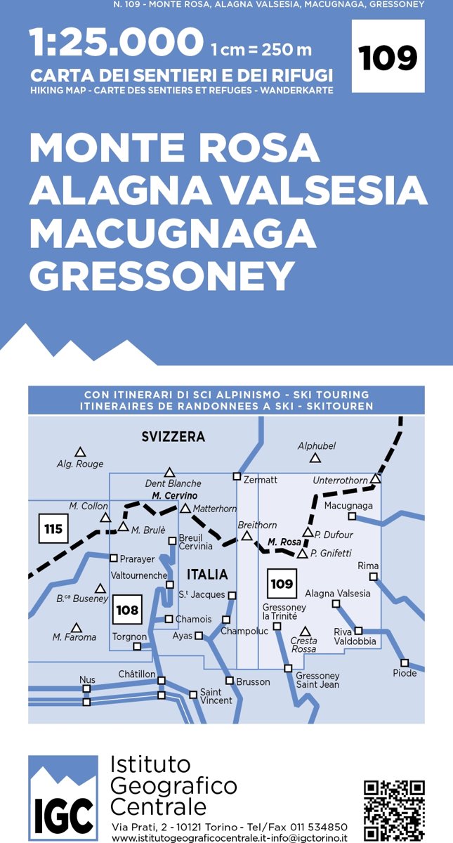
- Monte Rosa - Alagna - Valsesia - Macugnaga - Gressoney IGC 109
- Monte Rosa - Alagna - Macugnaga - Gressoney area at 1:25,000 in a series of contoured, GPS compatible walking maps from the Turin based Istituto Geografico Centrale, highlighting hiking trails including long-distance routes, ski routes and alpine accommodation. Maps in this series have contours at 25m intervals, enhanced by shading and graphic... Leer más
- Also available from:
- De Zwerver, Netherlands
De Zwerver
Netherlands
2018
Netherlands
2018
- Wandelkaart 109 Monte Rosa - Alagna Valsesia - Macugnaga - Gressoney | IGC - Istituto Geografico Centrale
- Monte Rosa - Alagna - Macugnaga - Gressoney area at 1:25,000 in a series of contoured, GPS compatible walking maps from the Turin based Istituto Geografico Centrale, highlighting hiking trails including long-distance routes, ski routes and alpine accommodation. Maps in this series have contours at 25m intervals, enhanced by shading and graphic... Leer más

Stanfords
United Kingdom
2010
United Kingdom
2010
- Turin - Pinerolo - Lower Susa Valley 50K IGC Map No. 17
- Turin - Pinerolo - Lower Susa Valley area of Piedmont in a series contoured hiking maps at 1:50,000 with local trails, long-distance footpaths, mountain accommodation, etc. from the Turin based Istituto Geografico Centrale.Maps in this series have contours at 50m intervals, enhanced by shading and graphic relief. An overprint highlights local... Leer más
- Also available from:
- De Zwerver, Netherlands

De Zwerver
Netherlands
2010
Netherlands
2010
- Wandelkaart 17 Torino, Pinerolo e Bassa val di Susa | IGC - Istituto Geografico Centrale
- Turin - Pinerolo - Lower Susa Valley, map no. 17, in a series contoured hiking maps at 1:50,000 with local trails, long-distance footpaths, mountain accommodation, etc. from the Turin based Istituto Geografico Centrale covering the Italian Alps and Piedmont, the lakes and northern Lombardy, and the Italian Riviera.The maps have contours at 50m... Leer más

Stanfords
United Kingdom
2019
United Kingdom
2019
- Langhe Meridionali IGC 18
- The southern part of the Langhe region of Piedmont, famous for its wines, cheeses, and truffles, in a series contoured hiking maps at 1:50,000 with local trails, long-distance footpaths, mountain accommodation, etc. from the Turin based Istituto Geografico Centrale.Maps in this series have contours at 50m intervals, enhanced by shading and... Leer más
- Also available from:
- De Zwerver, Netherlands
