
Waterford
Descripción

County Waterford has a pleasant landscape of rolling hills and rich with trees. It borders on Ireland’s south coast. It has some hill areas too: the Knockmealdown Mountains and the Comeragh Mountains. The East Munster Way runs from west to east through Waterford.
Senderos en estado
Enlaces
Datos
Informes
Guías y mapas
Hospedaje
Organizaciones
Operadores turísticos
GPS
Otro
Libros

- Also available from:
- De Zwerver, Netherlands
De Zwerver
Netherlands
Netherlands

Stanfords
United Kingdom
United Kingdom
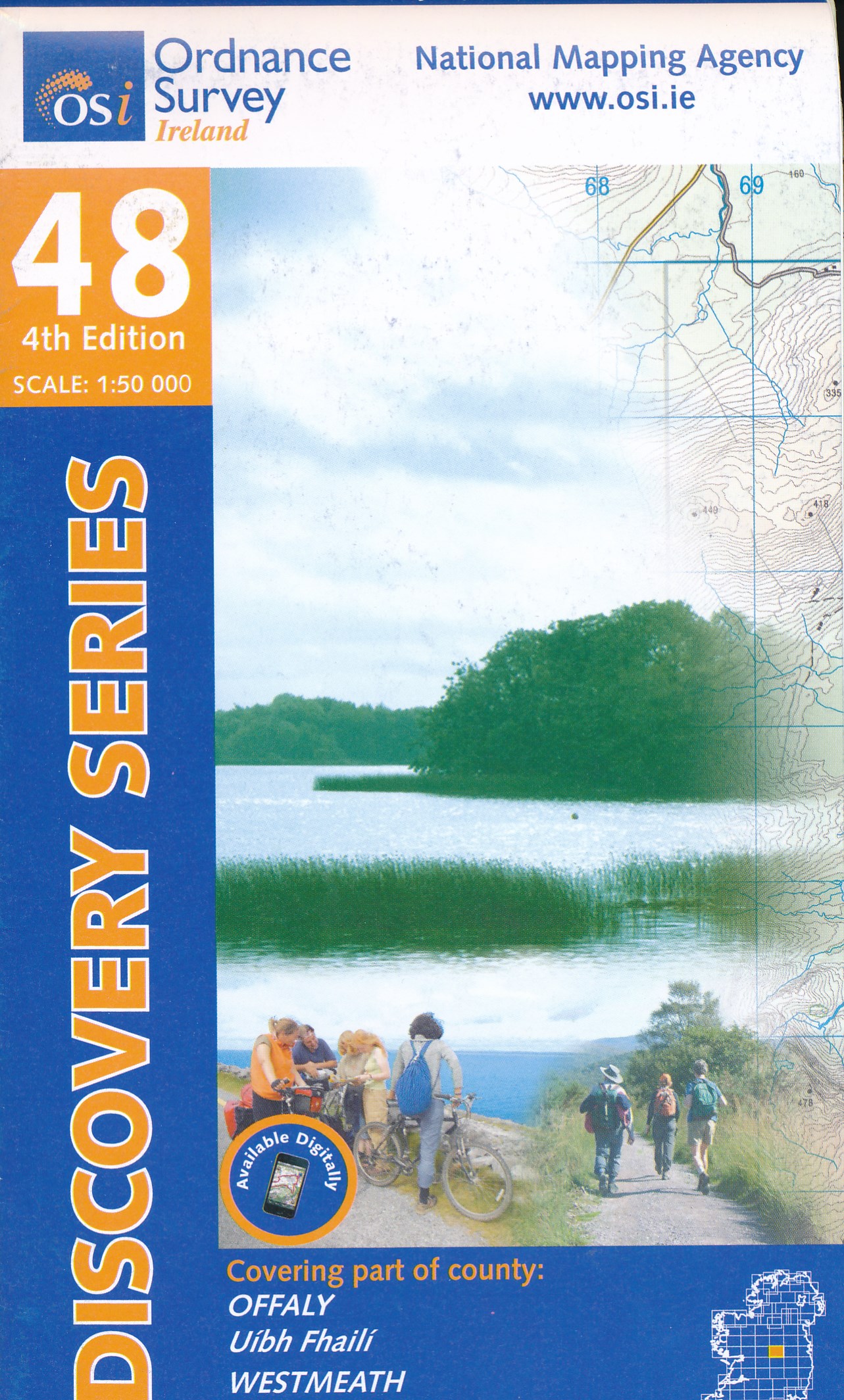
- Offaly - Westmeath OSI Discovery 48
- Map No. 48, Offaly North - Westmeath South in the Discovery series from the OSI, the Ordnance Survey of Ireland, which presents the country on detailed topographic maps at 1:50,000, with additional overprint highlighting campsites and caravan parks, youth hostels, etc. Current 3rd edition of this map was published in February 2011.Maps in the... Leer más
- Also available from:
- The Book Depository, United Kingdom


The Book Depository
United Kingdom
United Kingdom
- New Guinea Birds
- A Folding Pocket Guide to Familiar Species Leer más

- Also available from:
- De Zwerver, Netherlands
De Zwerver
Netherlands
Netherlands

- Also available from:
- De Zwerver, Netherlands
Bol.com
Netherlands
Netherlands
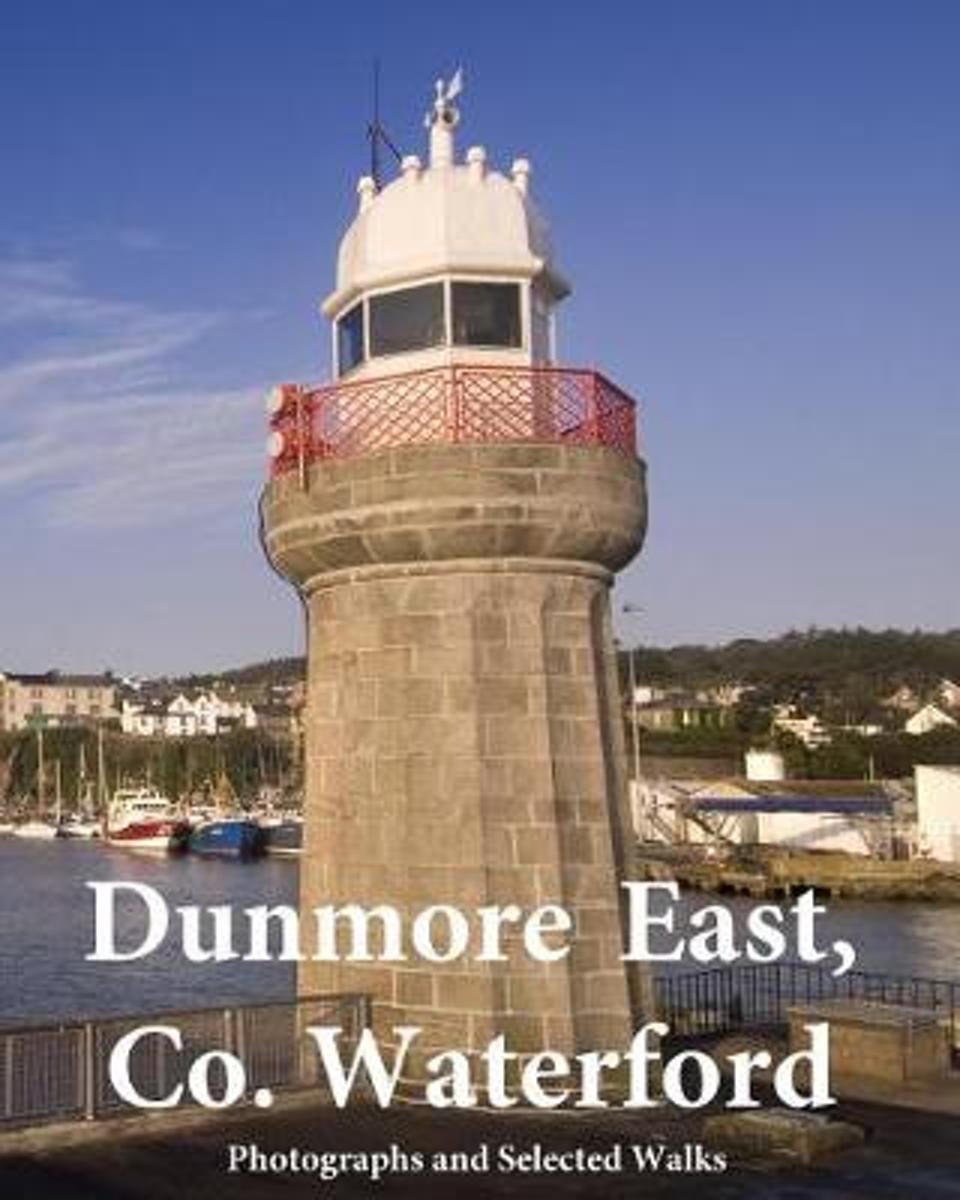
- Dunmore East, Co. Waterford
- DUNMORE EAST, CO. WATERFORD ( Black & White Edition)The Story of Dunmore EastAs far back as the Iron Age people established a promontory fort overlooking the sea at Shanoon (referred to in 1832 as meaning the 'Old Camp' but more likely Canon Power's Sean Uaimh, 'Old Cave') at a point known for centuries as Black Nobb, where the old pilot... Leer más
- Also available from:
- Bol.com, Belgium
Bol.com
Belgium
Belgium
- Dunmore East, Co. Waterford
- DUNMORE EAST, CO. WATERFORD ( Black & White Edition)The Story of Dunmore EastAs far back as the Iron Age people established a promontory fort overlooking the sea at Shanoon (referred to in 1832 as meaning the 'Old Camp' but more likely Canon Power's Sean Uaimh, 'Old Cave') at a point known for centuries as Black Nobb, where the old pilot... Leer más
De Zwerver
Netherlands
Netherlands
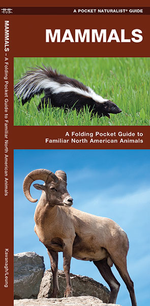
- Natuurgids Mammals : An Introduction to Familiar North American Species | Waterford Press
- Een bijzonder handige uitklapkaart met alle veelvoorkomende zoogdieren van Amerika. Duidelijke illustraties, goede korte omschrijving van soort en leefgebied, geplastificeerd. The Pocket Naturalist series introduces novices to common plants and animals and natural phenomena. Each pocket-sized, folding guide highlights up to 150 species and most... Leer más
Bol.com
Netherlands
Netherlands
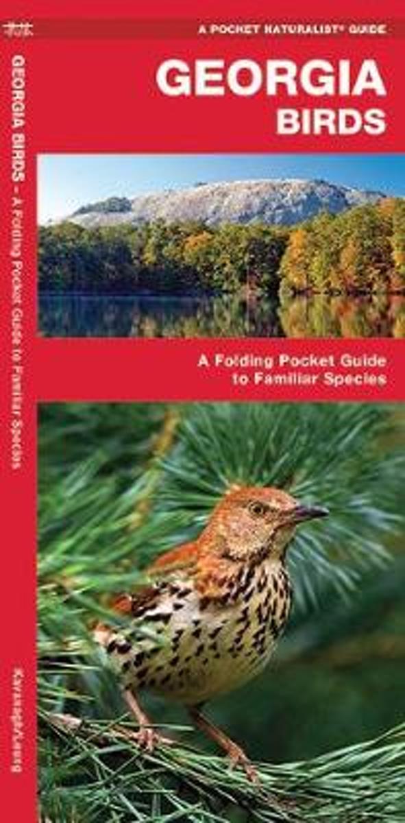
- Georgia Birds
- With mountains in her north and river swamps in her south, Georgia provides diverse habitat for almost 350 species of bird. Georgia Birds will help to identify over 140 familiar species with beautiful detailed illustrations. Created and printed in the USA, this guide was updated in 2012 with a new cover design and a back panel map highlighting... Leer más
- Also available from:
- Bol.com, Belgium
Bol.com
Belgium
Belgium
- Georgia Birds
- With mountains in her north and river swamps in her south, Georgia provides diverse habitat for almost 350 species of bird. Georgia Birds will help to identify over 140 familiar species with beautiful detailed illustrations. Created and printed in the USA, this guide was updated in 2012 with a new cover design and a back panel map highlighting... Leer más
De Zwerver
Netherlands
2010
Netherlands
2010
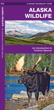
- Vogelgids - Natuurgids Alaska Wildlife An introduction to familiar species | Waterford Press
- Een bijzonder handige uitklapkaart met alle veelvoorkomende dieren van Alaska. Duidelijke illustraties, goede korte omschrijving van soort en leefgebied, geplastificeerd. Alaska Wildlife is the perfect pocket-sized, folding guide for the nature enthusiast. This beautifully illustrated guide highlights over 140 familiar species of birds,... Leer más
De Zwerver
Netherlands
2022
Netherlands
2022
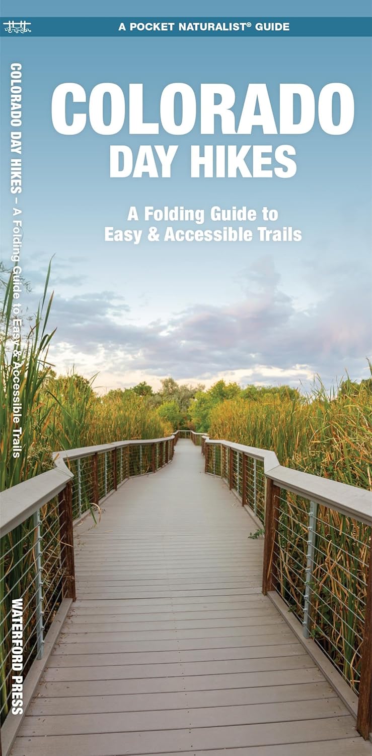
- Wandelkaart Colorado Day Hikes | Waterford Press
- A Folding Pocket Guide to Gear, Planning & Useful Tips Leer más
De Zwerver
Netherlands
2003
Netherlands
2003
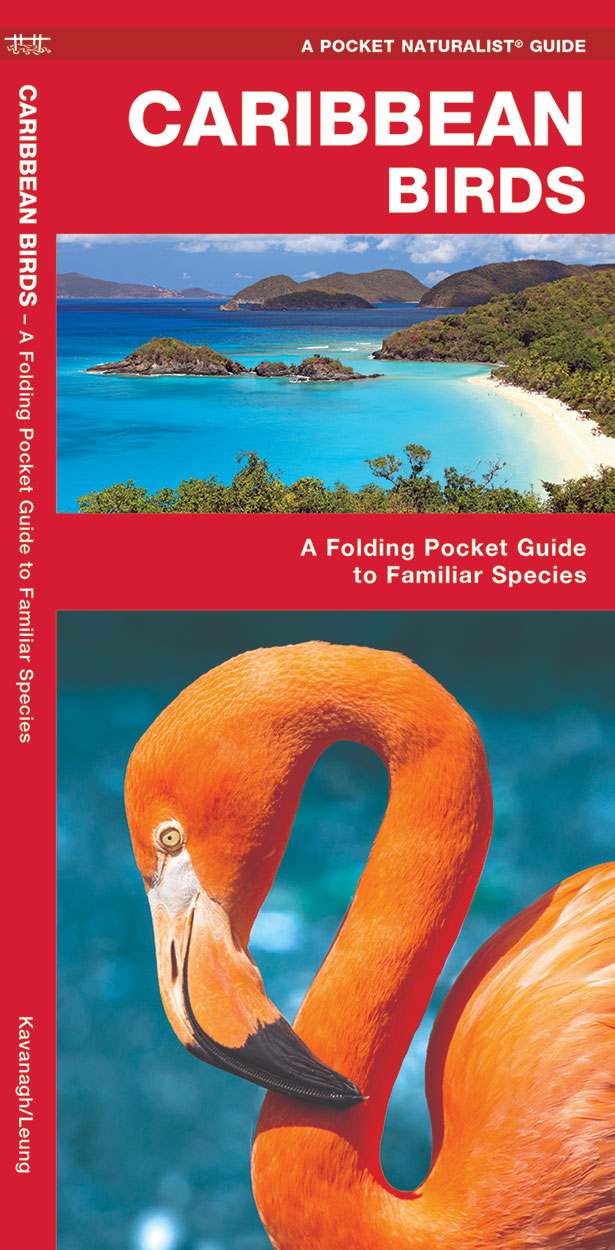
- Vogelgids - Natuurgids Caribbean Birds | Waterford Press
- Caribbean Birds is a pocket-sized, folding guide highlighting the most commonly seen birds in the Caribbean Islands. Laminated for durability, these handy guides are a great source of portable information for the vacationer or the avian enthusiast. A map of the Caribbean Islands on the back cover, completes this essential guide. Ideal for bird... Leer más

De Zwerver
Netherlands
Netherlands
- Natuurgids India Wildlife | Waterford Press
- Handige uitklapkaart met een behoorlijk aantal dieren uit alle familie-groepen. Goede plaatjes zorgen voor de mogelijkheid van een snelle identificatie. India’s diverse habitats harbor an equally diverse assemblage of wildlife ranging from tigers and lions, to elephants, rhinos and flying lizards. This beautifully illustrated guide highlights... Leer más
Bol.com
Netherlands
Netherlands
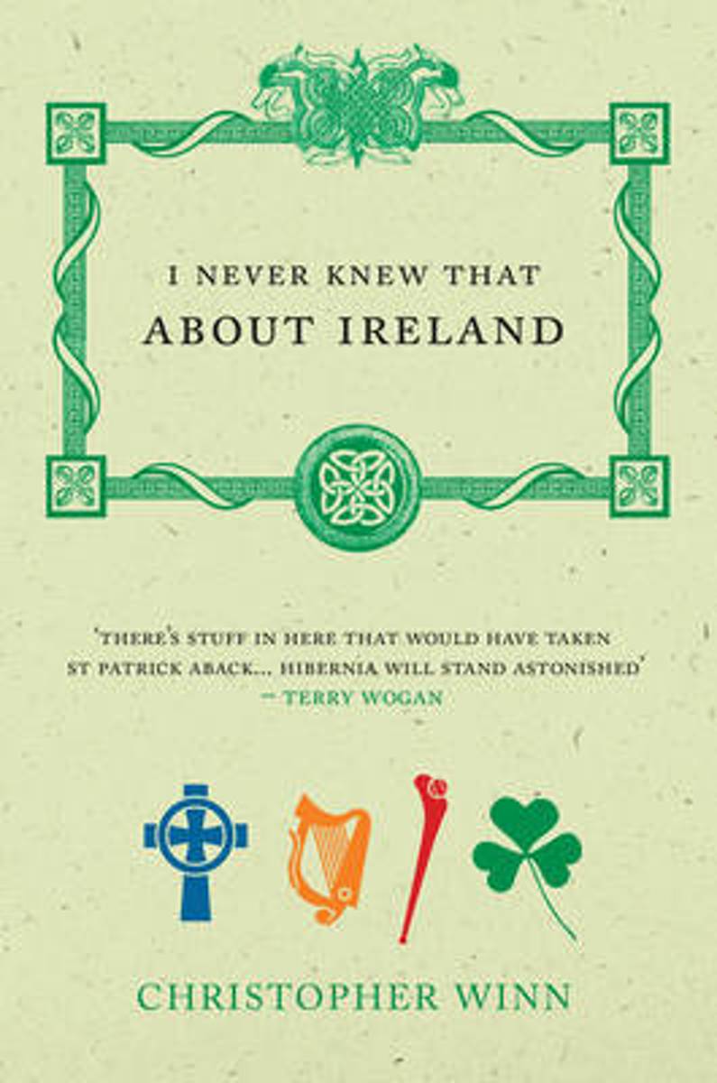
- I Never Knew That About Ireland
- Bestselling author Christopher Winn takes us on a fascinating journey around Ireland, to discover the tales buried deep in Irish history. Packed full of myths and legends, firsts, birthplaces, inventions and adventures, this fact book visits each of the four provinces - Ulster, Leinster, Munster and Connaught - and unearths the hidden gems that... Leer más
- Also available from:
- Bol.com, Belgium
Bol.com
Belgium
Belgium
- I Never Knew That About Ireland
- Bestselling author Christopher Winn takes us on a fascinating journey around Ireland, to discover the tales buried deep in Irish history. Packed full of myths and legends, firsts, birthplaces, inventions and adventures, this fact book visits each of the four provinces - Ulster, Leinster, Munster and Connaught - and unearths the hidden gems that... Leer más
De Zwerver
Netherlands
Netherlands
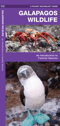
- Vogelgids - Natuurgids Galapagos Wildlife | Waterford Press
- Galapagos Wildlife, An Introduction to Familiar Species, is a must-have reference guide for beginners and experts alike. This guide provides a simplified introduction to species that are familiar, widespread and/or unique to the Galapagos Islands. The Pocket Traveller Eco-Travel Guides provide simplified reference to the prominent wildlife... Leer más
Mapas

Stanfords
United Kingdom
United Kingdom
- Kildare - Meath - Offaly - Westmeath OSI Discovery 49
- Map No. 49, Kildare North - Meath south-East - Offaly East in the Discovery series from the OSI, the Ordnance Survey of Ireland, which presents the country on detailed topographic maps at 1:50,000, with additional overprint highlighting campsites and caravan parks, youth hostels, etc. Current 4th edition of this map was published in January... Leer más

Stanfords
United Kingdom
United Kingdom
- Transrhodopi - Long distance hiking and biking trail From Trigrad to Ivaylovgrad
- Western Rhodope Mountains at 1:100,000 on a contoured GPS compatible map from Domino extending from just west of the Pirin National Park to Asenovgrad in the north-east. The map is double-sided with a good overlap between the sides. Topography is shown by contours at 50m intervals with relief shading and spot heights, plus colouring for... Leer más

Stanfords
United Kingdom
United Kingdom
- Kilkenny - Tipperary - Waterford OSI Discovery 75
- Map No. 75, Waterford North in the Discovery series from the OSI, the Ordnance Survey of Ireland, which presents the country on detailed topographic maps at 1:50,000, with additional overprint highlighting campsites and caravan parks, youth hostels, etc. Current 4th edition of this map was published in January 2013.Maps in the Discovery series... Leer más
Stanfords
United Kingdom
United Kingdom
- Leitrim - Longford - Roscommon - Sligo OSI Discovery 33
- Map No. 33, Roscommon North - Leitrim South-West in the Discovery series from the OSI, the Ordnance Survey of Ireland, which presents the country on detailed topographic maps at 1:50,000, with additional overprint highlighting campsites and caravan parks, youth hostels, etc. Current 4th edition of this title was published in January 2013.Maps... Leer más

Stanfords
United Kingdom
United Kingdom
- Brantford - Stratford - Woodstock
- Double-sided, indexed street plan of Brantford, Stratford and Woodstock, including Simcoe Delhi, Paris, Port Dover, St. Marys, and Waterford. Street plans from the MapArt / Canadian Cartographics Corporation / JDM Géo publishing group are usually produced at scales around 1:25,000 to 1:35,000 with smaller towns often shown at more detailed... Leer más

Stanfords
United Kingdom
United Kingdom
- Dublin Borch
- Central districts of Dublin on a laminated and waterproof tourist plan from Borch, with an enlargement for the city centre, a plan of Phoenix Park, and road maps of the capital’s environs and of the whole of the east coast between Dundalk and Waterford. The main plan at 1:12,000 extends from Dublin Bay Passenger and Ferry Terminal to Phoenix... Leer más

Stanfords
United Kingdom
United Kingdom
- Cape Breton Island - Sydney - Truro NS MapArt
- Cape Breton Island – the north-eastern part of Nova Scotia on an indexed map at 1:300,000, plus indexed street maps of its main towns. The map of Cape Breton Island indicates unpaved roads, with driving distances marked on main routes. Railway lines and ferry connections are marked and the map indicates locations with scheduled air services.... Leer más
Stanfords
United Kingdom
United Kingdom
- Galway - Longford - Roscommon - Westmeath OSI Discovery 40
- Map No. 40, Roscommon Central - Longford West in the Discovery series from the OSI, the Ordnance Survey of Ireland, which presents the country on detailed topographic maps at 1:50,000, with additional overprint highlighting campsites and caravan parks, youth hostels, etc. Current 3rd edition of this title was published in March 2011.Maps in the... Leer más

Stanfords
United Kingdom
United Kingdom
- Longford - Meath - Westmeath OSI Discovery 41
- Map No. 41, Longford South-West - Westmeath North in the Discovery series from the OSI, the Ordnance Survey of Ireland, which presents the country on detailed topographic maps at 1:50,000, with additional overprint highlighting campsites and caravan parks, youth hostels, etc. Current 3rd edition of this title was published in February 2011.Maps... Leer más
Stanfords
United Kingdom
United Kingdom
- Waterford SE OSI Discovery 82
- Map No. 82, Waterford South-East in the Discovery series from the OSI, the Ordnance Survey of Ireland, which presents the country on detailed topographic maps at 1:50,000, with additional overprint highlighting campsites and caravan parks, youth hostels, etc. Current 3rd edition of this map was published in January 2012.Maps in the Discovery... Leer más
- Also available from:
- The Book Depository, United Kingdom

The Book Depository
United Kingdom
United Kingdom
- Waterford
- Map No. 82, Waterford South-East in the Discovery series from the OSI, the Ordnance Survey of Ireland, which presents the country on detailed topographic maps at 1:50,000, with additional overprint highlighting campsites and caravan parks, youth hostels, etc. Current 3rd edition of this map was published in January 2012.Maps in the Discovery... Leer más
Stanfords
United Kingdom
United Kingdom
- Laois - Offaly - Tipperary OSI Discovery 54
- Map No. 54, Laois North West in the Discovery series from the OSI, the Ordnance Survey of Ireland, which presents the country on detailed topographic maps at 1:50,000, with additional overprint highlighting campsites and caravan parks, youth hostels, etc. Current 3rd edition of this map was published in October 2011.Maps in the Discovery series... Leer más
- Also available from:
- The Book Depository, United Kingdom

The Book Depository
United Kingdom
United Kingdom
- Laois, Offlay, Tipperary
- Map No. 54, Laois North West in the Discovery series from the OSI, the Ordnance Survey of Ireland, which presents the country on detailed topographic maps at 1:50,000, with additional overprint highlighting campsites and caravan parks, youth hostels, etc. Current 3rd edition of this map was published in October 2011.Maps in the Discovery series... Leer más

The Book Depository
United Kingdom
United Kingdom
- Kilkenny, Laois, Tipperary
- Map No. 60, Kilkenny North - Laois South in the Discovery series from the OSI, the Ordnance Survey of Ireland, which presents the country on detailed topographic maps at 1:50,000, with additional overprint highlighting campsites and caravan parks, youth hostels, etc. Current 3rd edition of this map was published in October 2011.Maps in the... Leer más
- Also available from:
- De Zwerver, Netherlands
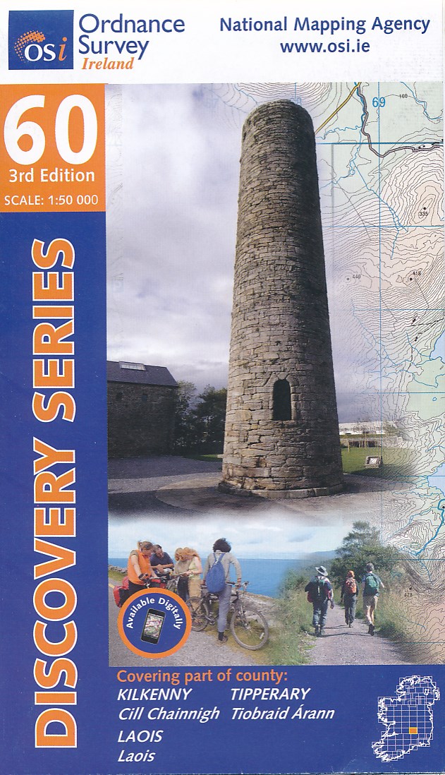
De Zwerver
Netherlands
Netherlands
- Topografische kaart - Wandelkaart 60 Discovery Kilkenny, Laois, Tipperary | Ordnance Survey Ireland
- Map No. 60, Kilkenny North - Laois South in the Discovery series from the OSI, the Ordnance Survey of Ireland, which presents the country on detailed topographic maps at 1:50,000, with additional overprint highlighting campsites and caravan parks, youth hostels, etc. Current 3rd edition of this map was published in October 2011.Maps in the... Leer más

Stanfords
United Kingdom
United Kingdom
- Cavan - Louth - Meath - Monaghan OSI Discovery 35
- Map No. 35, Cavan East - Meath North in the Discovery series from the OSI, the Ordnance Survey of Ireland, which presents the country on detailed topographic maps at 1:50,000, with additional overprint highlighting campsites and caravan parks, youth hostels, etc. Current 3rd edition of this map was published in December 2011.Maps in the... Leer más
- Also available from:
- The Book Depository, United Kingdom
- De Zwerver, Netherlands
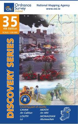
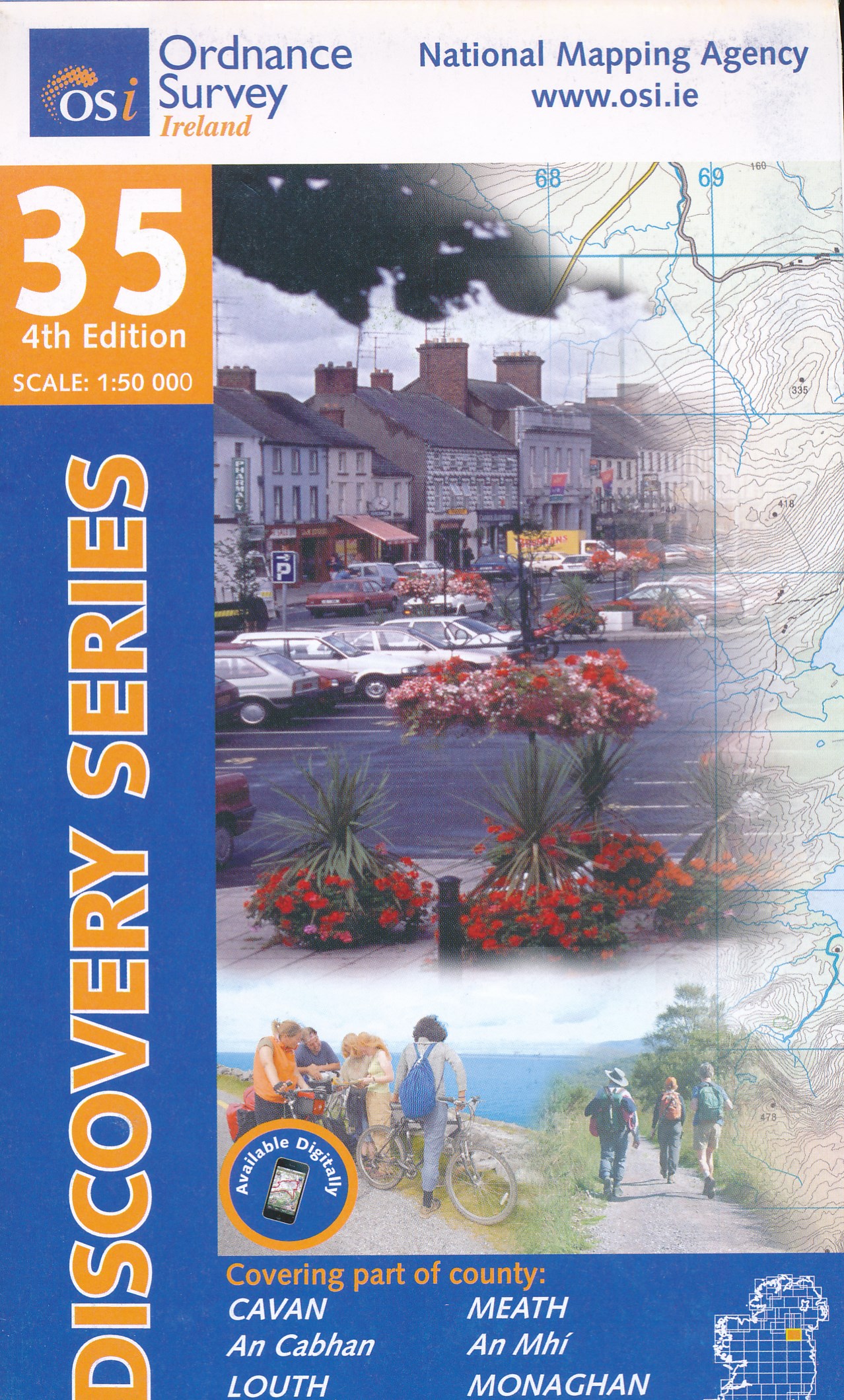
De Zwerver
Netherlands
Netherlands
- Topografische kaart - Wandelkaart 35 Discovery Cavan, Louth, Meath, Monaghan | Ordnance Survey Ireland
- Map No. 35, Cavan East - Meath North in the Discovery series from the OSI, the Ordnance Survey of Ireland, which presents the country on detailed topographic maps at 1:50,000, with additional overprint highlighting campsites and caravan parks, youth hostels, etc. Current 3rd edition of this map was published in December 2011.Maps in the... Leer más
Ordnance Survey
United Kingdom
United Kingdom
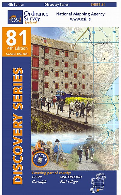
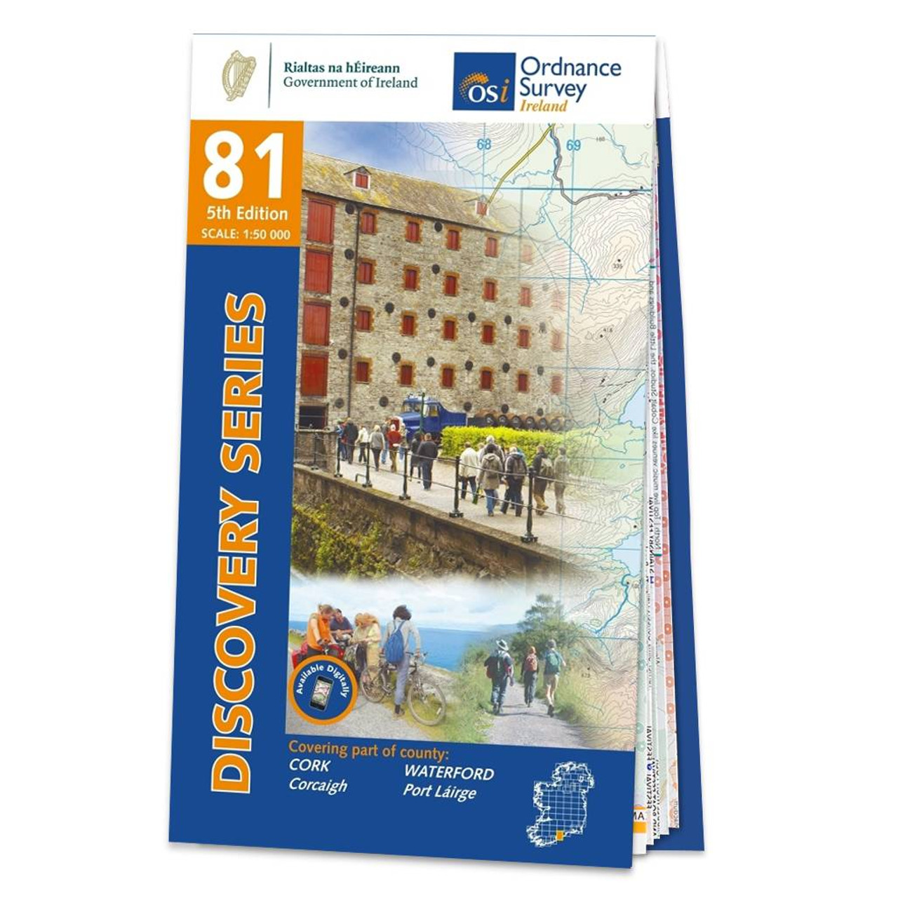
- Ordnance Survey Ireland Map of County Cork and Waterford: OSI Discovery 81
- OSI Discovery Sheet No. 81 covers part of County Cork and Waterford at a 1:50 000 scale and is designed for all sorts of leisure activities including walking, cycling and tourism. Features shown on the Discovery series include walking trails, cycle routes, forest parks and nature reserves. There is also tourist information such as... Leer más