
Kerry
Descripción

County Kerry is one of the most popular tourist destinations. The mountains, lakes and shoreline are great for walking.
Senderos en estado
Enlaces
Datos
Informes
Guías y mapas
Hospedaje
Organizaciones
Operadores turísticos
GPS
Otro
Libros

Stanfords
United Kingdom
United Kingdom
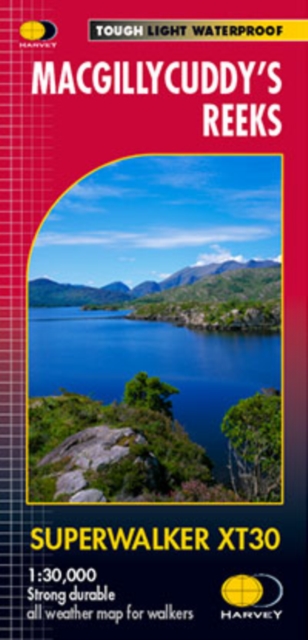
- MacGillycuddy`s Reeks Harvey Superwalker XT30
- Includes the whole of the Killarney National Park.Detailed map for hillwalkers of MacGillycuddy`s Reeks at 1:30,000 scale.Summit enlargement of Carrauntoohil at 1:15,000.Shows tracks, paths and cliffs in detail. As used by Mountain Rescue Ireland.PLEASE NOTE: this title is also available as a pocket-size Ultramap with its scale reduced to... Leer más

- Also available from:
- De Zwerver, Netherlands

The Book Depository
United Kingdom
2015
United Kingdom
2015
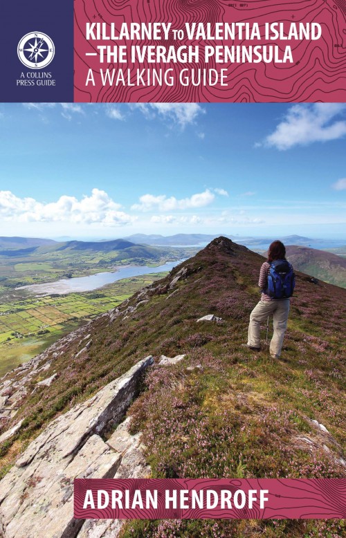
- Killarney to Valentia Island
- The Iveragh Peninsula, the largest in southwest Ireland, stretches from Killarney to Bolus Head and attracts thousands of visitors annually. The Ring of Kerry coastal road winds along its fringes and sandstone peaks soar high above. It is a landscape of raw and stunning beauty from the lakes that fill the corries to the spectacular cliff... Leer más
- Also available from:
- De Zwerver, Netherlands
De Zwerver
Netherlands
2015
Netherlands
2015
- Wandelgids Killarney to Valentia Island - The Iveragh Peninsula | The Collins Press
- The Iveragh Peninsula, the largest in southwest Ireland, stretches from Killarney to Bolus Head and attracts thousands of visitors annually. The Ring of Kerry coastal road winds along its fringes and sandstone peaks soar high above. It is a landscape of raw and stunning beauty from the lakes that fill the corries to the spectacular cliff... Leer más

The Book Depository
United Kingdom
United Kingdom
- Moon Ireland (Third Edition)
- Castles, Cliffs, and Lively Local Spots Leer más

- Also available from:
- De Zwerver, Netherlands


- Also available from:
- De Zwerver, Netherlands

The Book Depository
United Kingdom
United Kingdom
- Ireland's County High Points
- Whether you are a leisurely rambler or a serious hill walker, there's a good chance you've visited or plan to visit at least one of Ireland's County High Points. While this special set of Irish hills and mountains continues to attract more visitors each year, they've never had a walking guidebook exclusively devoted to them. Ireland's County... Leer más
Bol.com
Netherlands
Netherlands
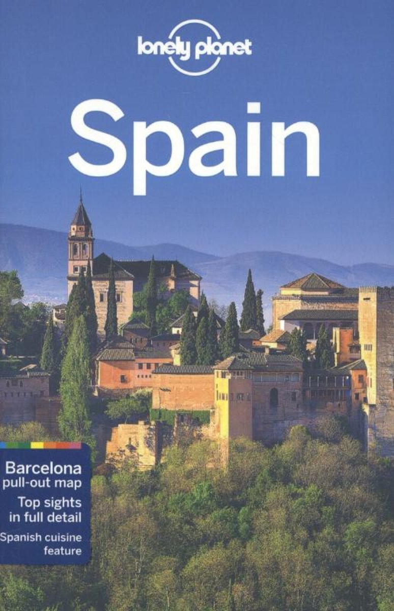
- Lonely Planet Spain
- Lonely Planet: The world's leading travel guide publisherLonely Planet Spainis your passport to the most relevant, up-to-date advice on what to see and skip, and what hidden discoveries await you. Marvel at the exquisite perfection of the Alhambra, hike the Pyrenean high country and laze on the Mediterranean's best beaches; all with your... Leer más
- Also available from:
- Bol.com, Belgium
Bol.com
Belgium
Belgium
- Lonely Planet Spain
- Lonely Planet: The world's leading travel guide publisherLonely Planet Spainis your passport to the most relevant, up-to-date advice on what to see and skip, and what hidden discoveries await you. Marvel at the exquisite perfection of the Alhambra, hike the Pyrenean high country and laze on the Mediterranean's best beaches; all with your... Leer más

Bol.com
Netherlands
Netherlands
- Fodor's Essential Ireland
- Written by locals, Fodor's travel guides have been offering expert advice for all tastes and budgets for 80 years. With an array of dazzling photographs, this book deftly guides the traveler through all the sights and experiences--from Connemara to Georgian Dublin to pub culture to Irish dance--that make the Emerald Isle one of Europe's most... Leer más
- Also available from:
- Bol.com, Belgium
Bol.com
Belgium
Belgium
- Fodor's Essential Ireland
- Written by locals, Fodor's travel guides have been offering expert advice for all tastes and budgets for 80 years. With an array of dazzling photographs, this book deftly guides the traveler through all the sights and experiences--from Connemara to Georgian Dublin to pub culture to Irish dance--that make the Emerald Isle one of Europe's most... Leer más
De Zwerver
Netherlands
2020
Netherlands
2020
Bol.com
Netherlands
2010
Netherlands
2010
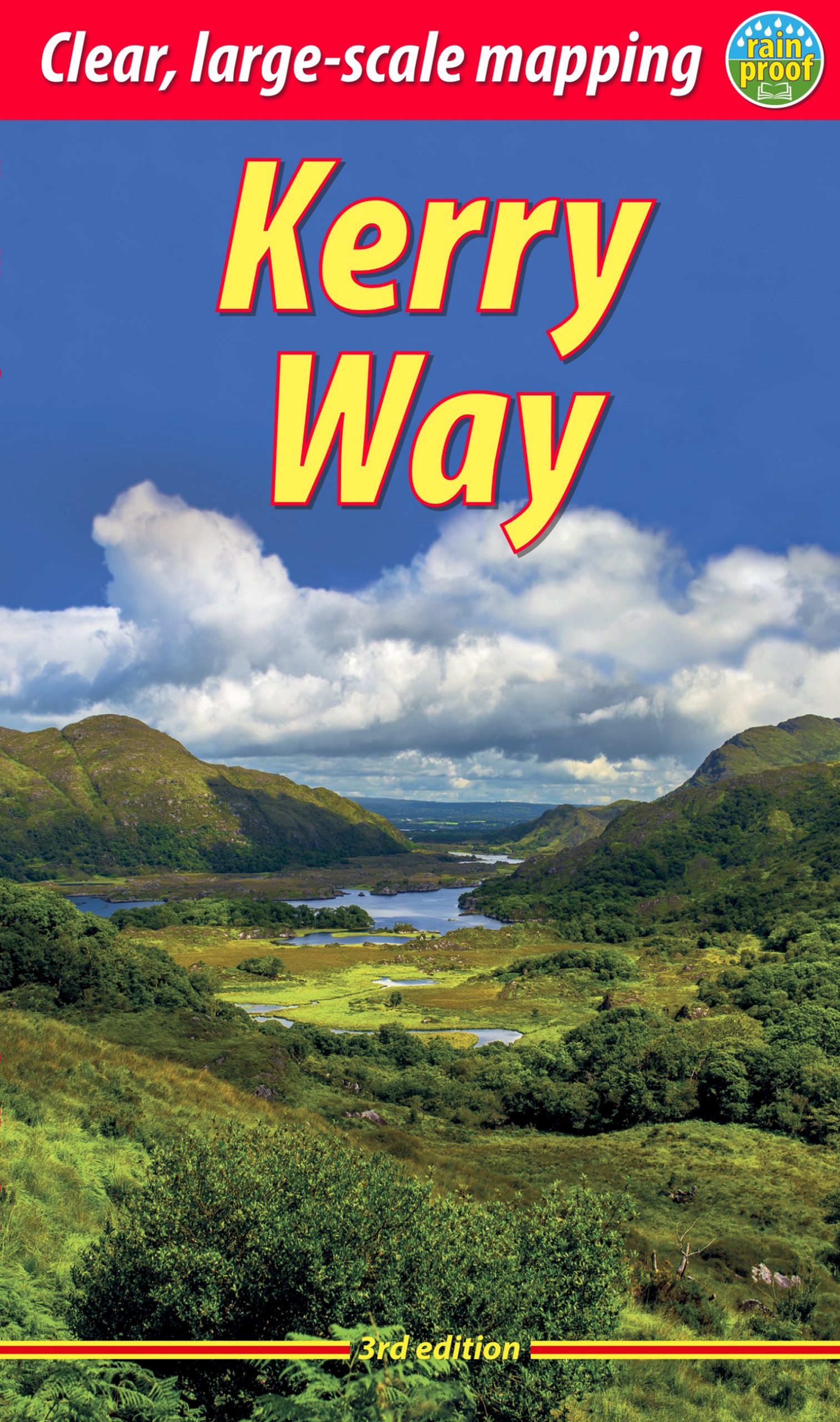
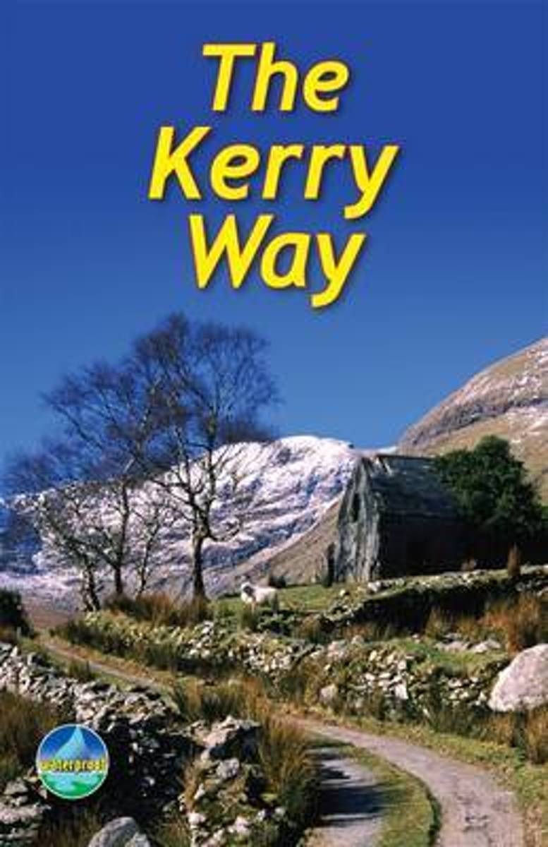
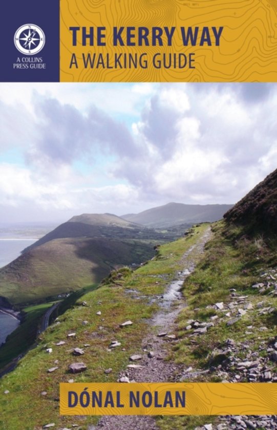
- The Kerry Way
- The Kerry Way runs around Ireland's most beautiful peninsula for 126 miles (203 km), starting from Killarney. It features mountain scenery and coastal panoramas, and is rich in geology and wildlife. The book contains clear mapping, 70 photographs and is robust and waterproof. It has a special feature on the ascent of Carrauntoohil, Ireland's... Leer más
- Also available from:
- Bol.com, Belgium
Bol.com
Belgium
2010
Belgium
2010
- The Kerry Way
- The Kerry Way runs around Ireland's most beautiful peninsula for 126 miles (203 km), starting from Killarney. It features mountain scenery and coastal panoramas, and is rich in geology and wildlife. The book contains clear mapping, 70 photographs and is robust and waterproof. It has a special feature on the ascent of Carrauntoohil, Ireland's... Leer más
Bol.com
Netherlands
Netherlands
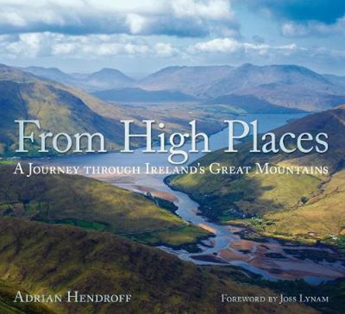
- From High Places
- The mountains of Ireland are wild and untrodden. There is a powerful and magnetic quality to Ireland's high places, a mix of mountains and sea that creates an indelible impression and inexorably draws one back. From High Places is a celebration of Ireland's great mountains. A collection of stunning images taken from the peaks of these... Leer más
- Also available from:
- Bol.com, Belgium
Bol.com
Belgium
Belgium
- From High Places
- The mountains of Ireland are wild and untrodden. There is a powerful and magnetic quality to Ireland's high places, a mix of mountains and sea that creates an indelible impression and inexorably draws one back. From High Places is a celebration of Ireland's great mountains. A collection of stunning images taken from the peaks of these... Leer más
Bol.com
Netherlands
Netherlands
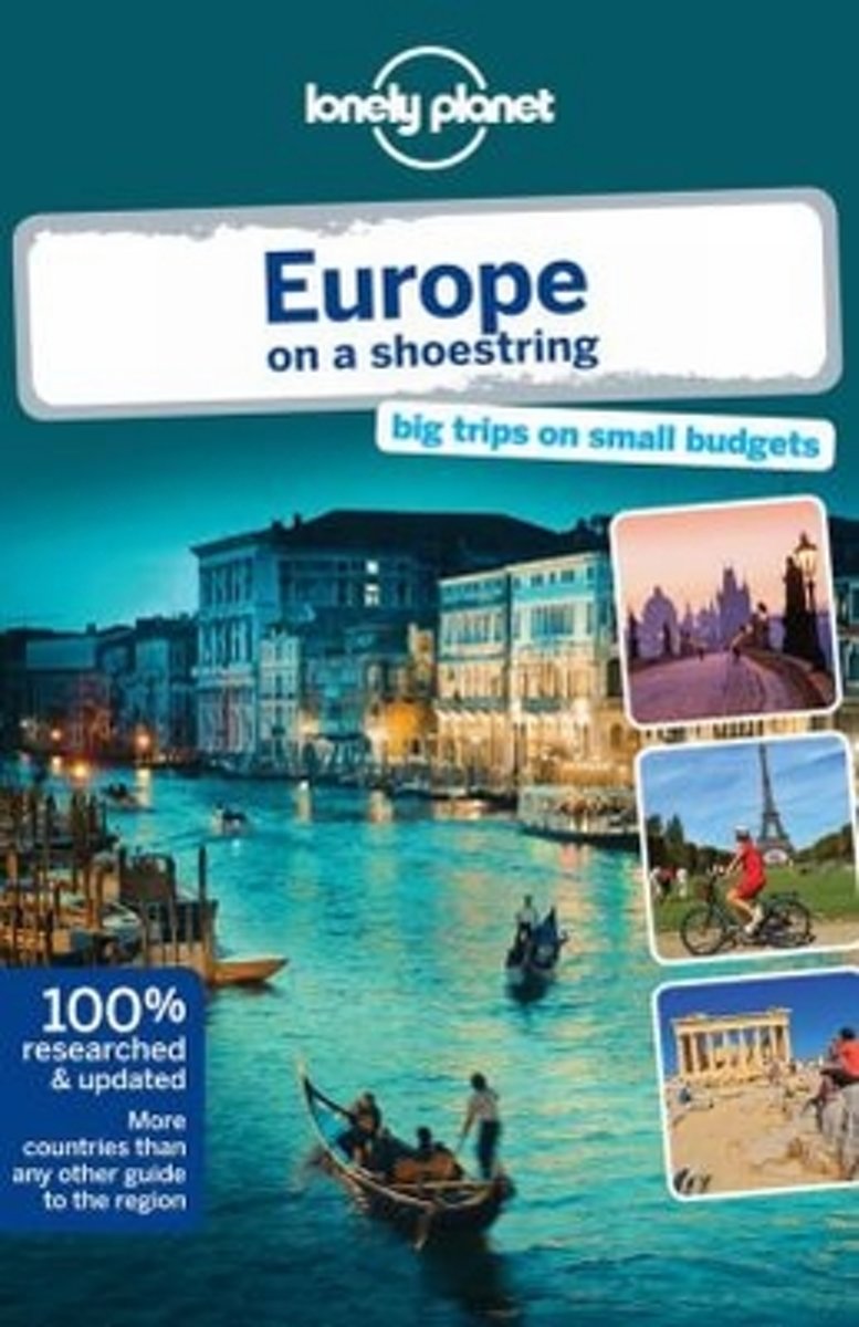
- Lonely Planet Europe on a Shoestring
- Lonely Planet: The world's leading travel guide publisher Lonely Planet Europe on a shoestring is your passport to the most relevant, up-to-date advice on what to see and skip, what hidden discoveries await you, and how to optimise your budget. Tour French chateaux, take boat trips to Greek beaches, hike past Bulgarian monasteries and glug... Leer más
- Also available from:
- Bol.com, Belgium
Bol.com
Belgium
Belgium
- Lonely Planet Europe on a Shoestring
- Lonely Planet: The world's leading travel guide publisher Lonely Planet Europe on a shoestring is your passport to the most relevant, up-to-date advice on what to see and skip, what hidden discoveries await you, and how to optimise your budget. Tour French chateaux, take boat trips to Greek beaches, hike past Bulgarian monasteries and glug... Leer más

- Also available from:
- Bol.com, Netherlands
- Bol.com, Belgium
- De Zwerver, Netherlands

Bol.com
Netherlands
2015
Netherlands
2015
- The Kerry Way
- The Kerry Way is Ireland's longest waymarked trail and one of the most popular. Looping around the Iveragh Peninsula, it follows narrow country roads, forest paths, abandoned coach roads and mass paths, national park land and farmland. This clear and lively guide gives the prospective wayfarer enough information to plan and enjoy every step. It... Leer más
Bol.com
Belgium
2015
Belgium
2015
- The Kerry Way
- The Kerry Way is Ireland's longest waymarked trail and one of the most popular. Looping around the Iveragh Peninsula, it follows narrow country roads, forest paths, abandoned coach roads and mass paths, national park land and farmland. This clear and lively guide gives the prospective wayfarer enough information to plan and enjoy every step. It... Leer más
Mapas

Stanfords
United Kingdom
United Kingdom
- Transrhodopi - Long distance hiking and biking trail From Trigrad to Ivaylovgrad
- Western Rhodope Mountains at 1:100,000 on a contoured GPS compatible map from Domino extending from just west of the Pirin National Park to Asenovgrad in the north-east. The map is double-sided with a good overlap between the sides. Topography is shown by contours at 50m intervals with relief shading and spot heights, plus colouring for... Leer más

Stanfords
United Kingdom
United Kingdom
- Kerry - Cork - Limerick OSI Discovery 72
- Map No. 72, Kerry North-East - Cork North-West - Limerick South-West in the Discovery series from the OSI, the Ordnance Survey of Ireland, which presents the country on detailed topographic maps at 1:50,000, with additional overprint highlighting campsites and caravan parks, youth hostels, etc. Current 4th edition of this map was published in... Leer más

Stanfords
United Kingdom
United Kingdom
- Clare - Galway OSI Discovery 51
- Map No. 51, Clare North - Aran Islands in the Discovery series from the OSI, the Ordnance Survey of Ireland, which presents the country on detailed topographic maps at 1:50,000, with additional overprint highlighting campsites and caravan parks, youth hostels, etc. Current 5th edition of this map was published in 2015.Maps in the Discovery... Leer más

Stanfords
United Kingdom
United Kingdom
- Kerry (Dingle) OSI Discovery 70
- Map No. 70, Kerry: Dingle Peninsula in the Discovery series from the OSI, the Ordnance Survey of Ireland, which presents the country on detailed topographic maps at 1:50,000, with additional overprint highlighting campsites and caravan parks, youth hostels, etc. Current 5th edition of this map was published in summer 2015.Maps in the Discovery... Leer más
Stanfords
United Kingdom
United Kingdom
- Clare OSI Discovery 57
- Map No. 57, Clare Central-West in the Discovery series from the OSI, the Ordnance Survey of Ireland, which presents the country on detailed topographic maps at 1:50,000, with additional overprint highlighting campsites and caravan parks, youth hostels, etc. Current 4th edition of this map was published in January 2013.Maps in the Discovery... Leer más

Stanfords
United Kingdom
United Kingdom
- Kerry OSI Discovery 78
- Map No. 78, Kerry Central in the Discovery series from the OSI, the Ordnance Survey of Ireland, which presents the country on detailed topographic maps at 1:50,000, with additional overprint highlighting campsites and caravan parks, youth hostels, etc. Current 5th edition of this map was published in spring 2015.Maps in the Discovery series... Leer más
Stanfords
United Kingdom
United Kingdom
- Clare - Limerick - Tipperary OSI Discovery 65
- Map No. 65, Limerick North-East in the Discovery series from the OSI, the Ordnance Survey of Ireland, which presents the country on detailed topographic maps at 1:50,000, with additional overprint highlighting campsites and caravan parks, youth hostels, etc. Current 4th edition of this title was published in January 2013.Maps in the Discovery... Leer más

Stanfords
United Kingdom
United Kingdom
- Kerry OSI Discovery 78 WATERPROOF
- Map No. 78, Kerry Central - waterprooof and tear-resistant version - in the Discovery series from the OSI, the Ordnance Survey of Ireland, which presents the country on detailed topographic maps at 1:50,000, with additional overprint highlighting campsites and caravan parks, youth hostels, etc. Current 5th edition of this map was published in... Leer más
Stanfords
United Kingdom
United Kingdom
- Cork Central OSI Discovery 80
- Map No. 80, Cork Central in the Discovery series from the OSI, the Ordnance Survey of Ireland, which presents the country on detailed topographic maps at 1:50,000, with additional overprint highlighting campsites and caravan parks, youth hostels, etc. Current 4th edition of this map was published in January 2013.Maps in the Discovery series... Leer más
Stanfords
United Kingdom
United Kingdom
- Kerry OSI Discovery 83
- Map No. 83, Kerry South-West in the Discovery series from the OSI, the Ordnance Survey of Ireland, which presents the country on detailed topographic maps at 1:50,000, with additional overprint highlighting campsites and caravan parks, youth hostels, etc. Current 4th edition of this map was published in July 2010.Maps in the Discovery series... Leer más
Stanfords
United Kingdom
United Kingdom
- Cork S OSI Discovery 87
- Map No. 87, Cork South-Central in the Discovery series from the OSI, the Ordnance Survey of Ireland, which presents the country on detailed topographic maps at 1:50,000, with additional overprint highlighting campsites and caravan parks, youth hostels, etc. Current 4th edition of this map was published in February 2013.Maps in the Discovery... Leer más

Stanfords
United Kingdom
United Kingdom
- MacGillycuddy`s Reeks and Killarney National Park OSI Adventure Map
- Macgillycuddy`s Reeks and the Killarney National Park on a double-sided, GPS compatible map at 1:25,000 from the Ordnance Survey Ireland with cartography of the country’s topographic survey, plus the central part of the Reeks at 1:12,500. Coverage extends from Killarney westwards to Lough Caragh. Where appropriate place names are given in both... Leer más

Stanfords
United Kingdom
United Kingdom
- Cork SW OSI Discovery 88
- Map No. 88, Cork South-West in the Discovery series from the OSI, the Ordnance Survey of Ireland, which presents the country on detailed topographic maps at 1:50,000, with additional overprint highlighting campsites and caravan parks, youth hostels, etc. Current 4th edition of this map was published in July 2010.Maps in the Discovery series... Leer más
Stanfords
United Kingdom
United Kingdom
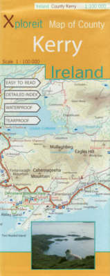
- Kerry County
- County Kerry at 1:100,000 in a series of double-sided, GPS-compatible maps from Xploreit Maps, with contours, altitude colouring, hiking trails and cycling routes, and printed on light, waterproof and tear-resistant plastic paper.Topography is shown by altitude colouring with contours (interval varies) and plenty of names of geographical... Leer más
Más mapas…
