
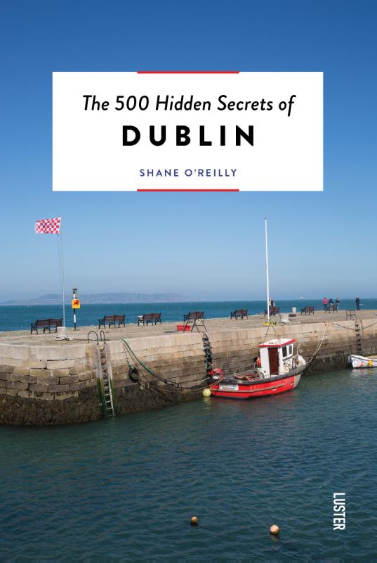
Dublin
Descripción

Capital and county. Hiking opportunities in the Wicklow mountains and along the Royal Canal and Great Canal starting in the city.
Senderos en estado
Enlaces
Datos
Informes
Guías y mapas
Hospedaje
Organizaciones
Operadores turísticos
GPS
Otro
Libros

Stanfords
United Kingdom
United Kingdom
- Wicklow South OSI Adventure Map
- Among the rivers on this map are the Ow River, the Aughrim River, the Avoca River, the Derreen River and the Derry River. This map shows the historic site of Avondale House and Forest Park. The Wicklow Way continues down through the map. Among the many trails, loops and walks marked on this map are Avondale Trails, Avoca Red Kite Trails, Sean... Leer más

The Book Depository
United Kingdom
United Kingdom
- Moon Ireland (Third Edition)
- Castles, Cliffs, and Lively Local Spots Leer más


The Book Depository
United Kingdom
2021
United Kingdom
2021
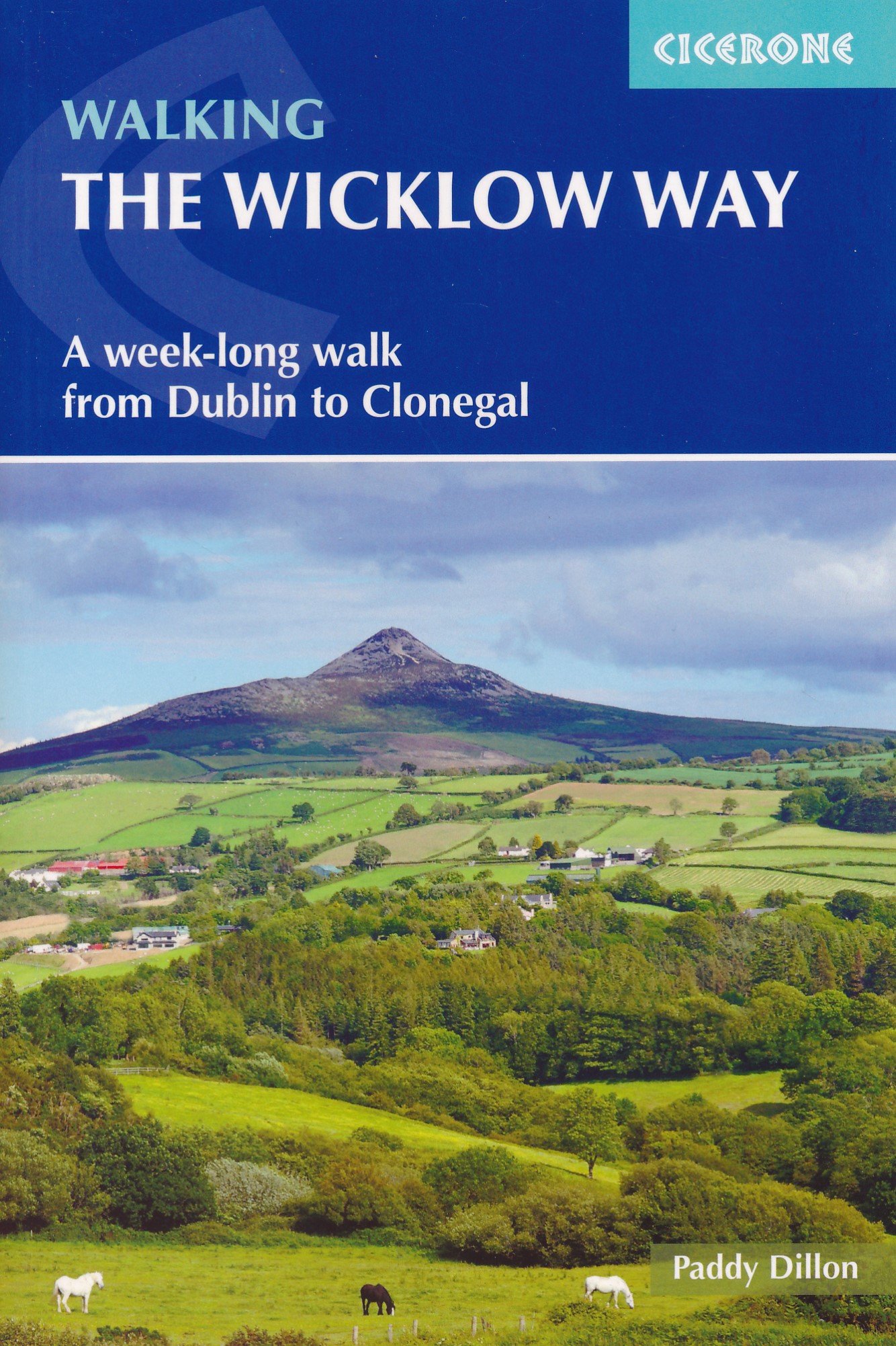
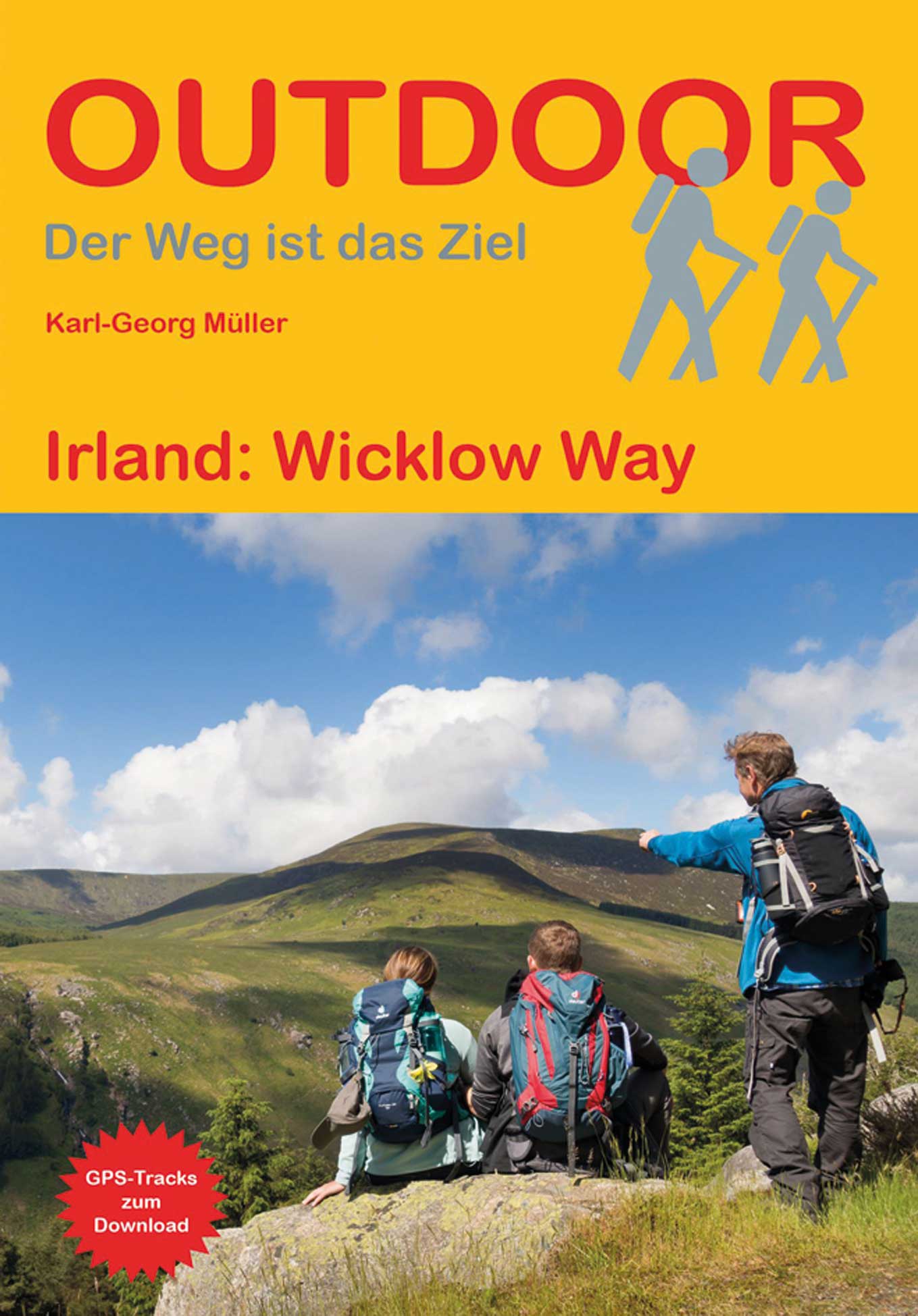
- Walking the Wicklow Way
- A week-long walk from Dublin to Clonegal Leer más
- Also available from:
- De Zwerver, Netherlands
De Zwerver
Netherlands
2021
Netherlands
2021
- Wandelgids Walking the Wicklow Way | Cicerone
- A week-long walk from Dublin to Clonegal Leer más

- Also available from:
- De Zwerver, Netherlands
Bol.com
Netherlands
Netherlands
- Living in Ireland
- The Irish way of life-- its music, food, beer, and literature-- has become a familiar export around the world in recent years.But as this delightful book shows nothing can replace the experience of real Irish landscapes discovered. The stunning scenery, elegant town houses, and variety of country manors all contribute to an Irish identity which... Leer más
- Also available from:
- Bol.com, Belgium
Bol.com
Belgium
Belgium
- Living in Ireland
- The Irish way of life-- its music, food, beer, and literature-- has become a familiar export around the world in recent years.But as this delightful book shows nothing can replace the experience of real Irish landscapes discovered. The stunning scenery, elegant town houses, and variety of country manors all contribute to an Irish identity which... Leer más
Bol.com
Netherlands
2009
Netherlands
2009
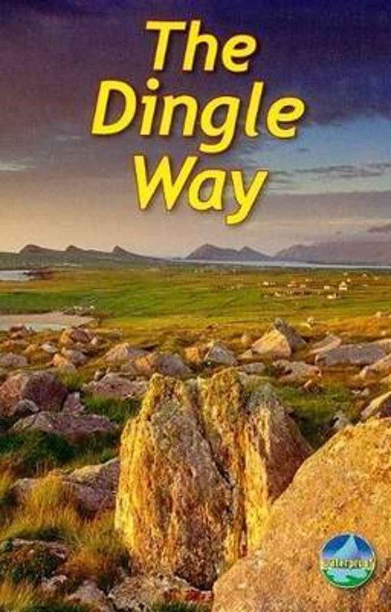
- The Dingle Way
- The Dingle Way runs 111 miles (179 km) around the beautiful Dingle Peninsula. It starts and finishes in Tralee, accessible by train or bus from Dublin and from Kerry Airport. The complete walk takes eight days, but it can easily be shortened. The Dingle Way follows country lanes, quiet roads and cliff-top paths, punctuated by long stretches of... Leer más
- Also available from:
- Bol.com, Belgium
Bol.com
Belgium
2009
Belgium
2009
- The Dingle Way
- The Dingle Way runs 111 miles (179 km) around the beautiful Dingle Peninsula. It starts and finishes in Tralee, accessible by train or bus from Dublin and from Kerry Airport. The complete walk takes eight days, but it can easily be shortened. The Dingle Way follows country lanes, quiet roads and cliff-top paths, punctuated by long stretches of... Leer más
Bol.com
Netherlands
Netherlands
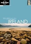
- Lonely Planet Ireland Walking Guide
- Gentle mountains, rugged ridges, wild moorlands, spectacular sea cliffs, remote islands, warm hospitality and the infamous Irish weather - all are part of the wonderful experience that is walking in Ireland. So pack your boots, grab this guide and go 85 detailed walk descriptions in the Republic and Northern Ireland. Comprehensive coverage of... Leer más
- Also available from:
- Bol.com, Belgium
Bol.com
Belgium
Belgium
- Lonely Planet Ireland Walking Guide
- Gentle mountains, rugged ridges, wild moorlands, spectacular sea cliffs, remote islands, warm hospitality and the infamous Irish weather - all are part of the wonderful experience that is walking in Ireland. So pack your boots, grab this guide and go 85 detailed walk descriptions in the Republic and Northern Ireland. Comprehensive coverage of... Leer más
Bol.com
Netherlands
Netherlands
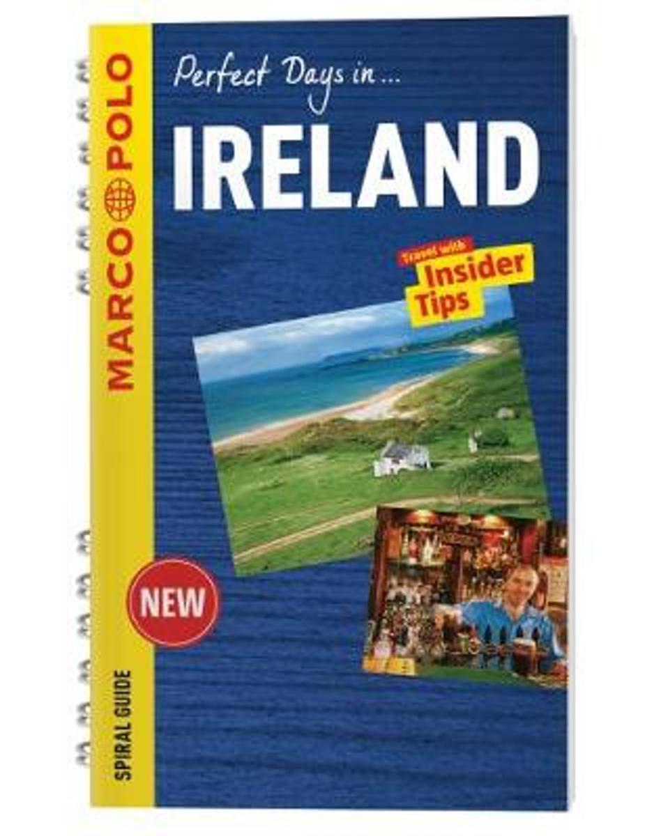
- Ireland Marco Polo Travel Guide - with pull out map
- Perfect Days in... Ireland. For advice you can trust, look no further than Marco Polo. Ireland Marco Polo Travel Guide is a compact travel guide for people who have little time to prepare for a trip, don't want to miss anything, like to be inspired by great ideas for exciting days out and love all things ultra-practical and easy to use. Marvel... Leer más
- Also available from:
- Bol.com, Belgium
Bol.com
Belgium
Belgium
- Ireland Marco Polo Travel Guide - with pull out map
- Perfect Days in... Ireland. For advice you can trust, look no further than Marco Polo. Ireland Marco Polo Travel Guide is a compact travel guide for people who have little time to prepare for a trip, don't want to miss anything, like to be inspired by great ideas for exciting days out and love all things ultra-practical and easy to use. Marvel... Leer más
Bol.com
Netherlands
Netherlands
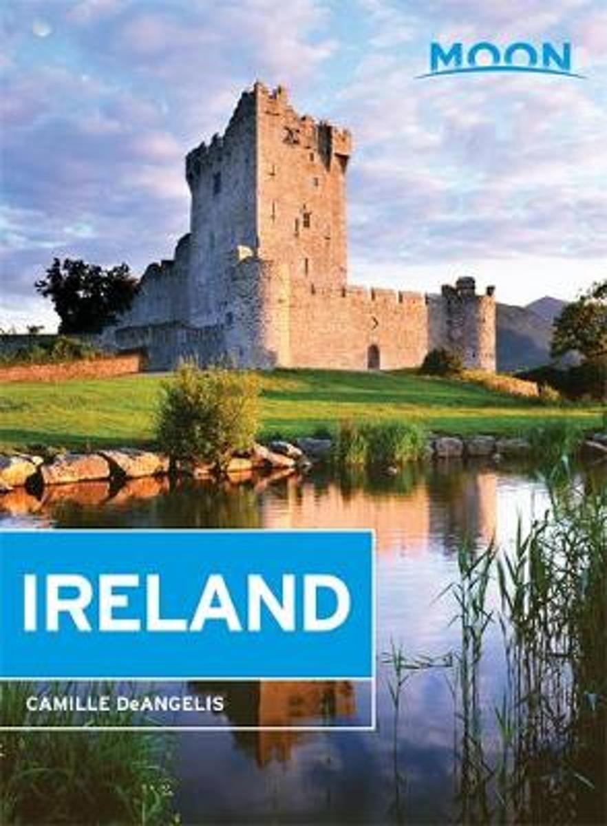
- Moon Ireland 2nd Edition
- Your World Your WayTravel writer Camille DeAngelis shares her expert perspective on Ireland, guiding you on a memorable and unique experience. Whether you're grabbing a pint of Bulmers at a pub in Dublin or hiking up Croagh Patrick in County Mayo, Moon Irelandhas activities for every traveler. With itineraries like Sacred Sites and Pilgrimages... Leer más
- Also available from:
- Bol.com, Belgium
Bol.com
Belgium
Belgium
- Moon Ireland 2nd Edition
- Your World Your WayTravel writer Camille DeAngelis shares her expert perspective on Ireland, guiding you on a memorable and unique experience. Whether you're grabbing a pint of Bulmers at a pub in Dublin or hiking up Croagh Patrick in County Mayo, Moon Irelandhas activities for every traveler. With itineraries like Sacred Sites and Pilgrimages... Leer más
De Zwerver
Netherlands
2020
Netherlands
2020
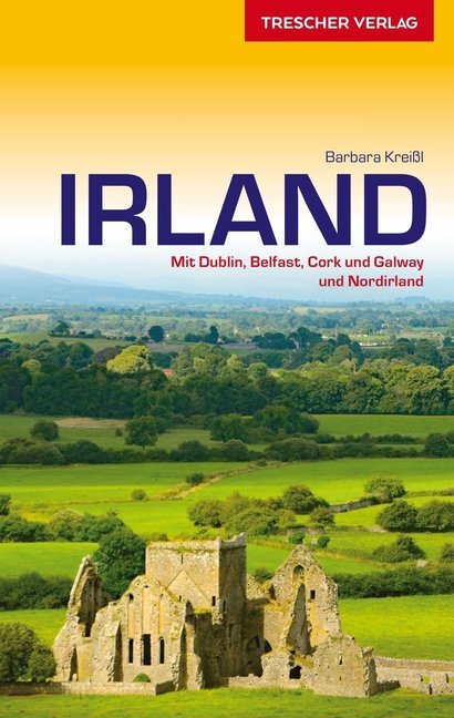
- Reisgids Reiseführer Irland - Ierland | Trescher Verlag
- Reiseführer Irland ab 18.95 EURO Mit Dublin, Belfast, Cork, Galway und Nordirland Trescher-Reihe Reisen. 1. Auflage Leer más
Más libros…
Mapas

Stanfords
United Kingdom
United Kingdom
- Dublin Mountains (25K)
- Dublin Mountains at 1:25,000 on a double-sided, detailed, GPS compatible map from EastWest Mapping, printed on light, waterproof and tear-resistant paper. Contours at 10m intervals are enhanced by altitude colouring and graphics showing scree, peat bogs, marshland, gorse, different types of woodlands, cultivated areas, etc.The map shows the... Leer más

Stanfords
United Kingdom
United Kingdom
- Dublin Borch
- Central districts of Dublin on a laminated and waterproof tourist plan from Borch, with an enlargement for the city centre, a plan of Phoenix Park, and road maps of the capital’s environs and of the whole of the east coast between Dundalk and Waterford. The main plan at 1:12,000 extends from Dublin Bay Passenger and Ferry Terminal to Phoenix... Leer más

Stanfords
United Kingdom
United Kingdom
- 2700 North and West Wales Chart Atlas - 2016 edition
- In new A2 atlas format suitable for use on small chart tables and in the cockpit. Printed on high quality cartridge paper, this 2016 edition is wirobound and supplied in a durable plastic wallet. The atlas includes:2700.1 Liverpool Bay to Anglesey 1: 280 000 WGS 84Plan Holyhead (1:27 500)2700.2 Liverpool Bay 1: 145 000 WGS 84Plan Liverpool... Leer más

Stanfords
United Kingdom
United Kingdom
- Transrhodopi - Long distance hiking and biking trail From Trigrad to Ivaylovgrad
- Western Rhodope Mountains at 1:100,000 on a contoured GPS compatible map from Domino extending from just west of the Pirin National Park to Asenovgrad in the north-east. The map is double-sided with a good overlap between the sides. Topography is shown by contours at 50m intervals with relief shading and spot heights, plus colouring for... Leer más

Stanfords
United Kingdom
United Kingdom
- Stara Planina Central: Uzana to Vratnik Domino Map
- Stara Planina Central: Uzana to Vratnik map at 1:50,000 from Bulgarian publishers Domino, contoured and GPS compatible, with hiking trails, accommodation options including a list of local mountain refuges, etc. The map is double-sided and covers the mountains from just west of the Uzana massif, the geographical centre of Bulgaria, eastwards to... Leer más
- Also available from:
- De Zwerver, Netherlands

De Zwerver
Netherlands
Netherlands
- Wandelkaart 2 Stara Planina gebergte | Domino
- Stara Planina Central: Uzana to Vratnik map at 1:50,000 from Bulgarian publishers Domino, contoured and GPS compatible, with hiking trails, accommodation options including a list of local mountain refuges, etc. The map is double-sided and covers the mountains from just west of the Uzana massif, the geographical centre of Bulgaria, eastwards to... Leer más


Stanfords
United Kingdom
United Kingdom
- Stara Planina Western: Belogradchik to Berkovita Domino Map
- Stara Planina Western: Belogradchik to Berkovita map at 1:50,000 from Bulgarian publishers Domino, contoured and GPS compatible, with hiking trails, accommodation options including a list of local mountain refuges, etc. The map is double-sided and covers the mountains from the peak of Byala Voda near Belogradchik eastwards to just beyond... Leer más
- Also available from:
- De Zwerver, Netherlands

De Zwerver
Netherlands
Netherlands
- Wandelkaart 3 Stara Planina gebergte | Domino
- Stara Planina Western: Belogradchik to Berkovita map at 1:50,000 from Bulgarian publishers Domino, contoured and GPS compatible, with hiking trails, accommodation options including a list of local mountain refuges, etc. The map is double-sided and covers the mountains from the peak of Byala Voda near Belogradchik eastwards to just beyond... Leer más

Stanfords
United Kingdom
United Kingdom
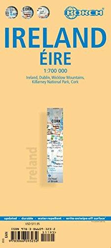
- Ireland Borch
- Indexed road map of Ireland published by Borch on laminated and tear-resistant paper. Cork & Dublin street plans, and more detailed maps of Killarney NP & the Wicklow Mts are on the reverse. Road detail extends from motorways to secondary roads, with intermediate driving distances indicated on major routes. Main railways and ferry links are... Leer más
- Also available from:
- De Zwerver, Netherlands
De Zwerver
Netherlands
Netherlands
- Wegenkaart - landkaart Ireland - Ierland | Borch
- Indexed road map of Ireland published by Borch on laminated and tear-resistant paper. Cork & Dublin street plans, and more detailed maps of Killarney NP & the Wicklow Mts are on the reverse. Road detail extends from motorways to secondary roads, with intermediate driving distances indicated on major routes. Main railways and ferry links are... Leer más

Stanfords
United Kingdom
United Kingdom
- Stara Planina Western: Berkovita to Zlatitsa Domino Map
- Stara Planina Western: Berkovita to Zlatitsa map at 1:50,000 from Bulgarian publishers Domino, contoured and GPS compatible, with hiking trails, accommodation options including a list of local mountain refuges, etc. The map is double-sided and covers the mountains from Varshets (directly north of Sofia) to just beyond Etrepole.Maps in the... Leer más
- Also available from:
- De Zwerver, Netherlands

De Zwerver
Netherlands
Netherlands
- Wandelkaart 4 Stara Planina gebergte | Domino
- Stara Planina Western: Berkovita to Zlatitsa map at 1:50,000 from Bulgarian publishers Domino, contoured and GPS compatible, with hiking trails, accommodation options including a list of local mountain refuges, etc. The map is double-sided and covers the mountains from Varshets (directly north of Sofia) to just beyond Etrepole.Maps in the... Leer más

Stanfords
United Kingdom
United Kingdom
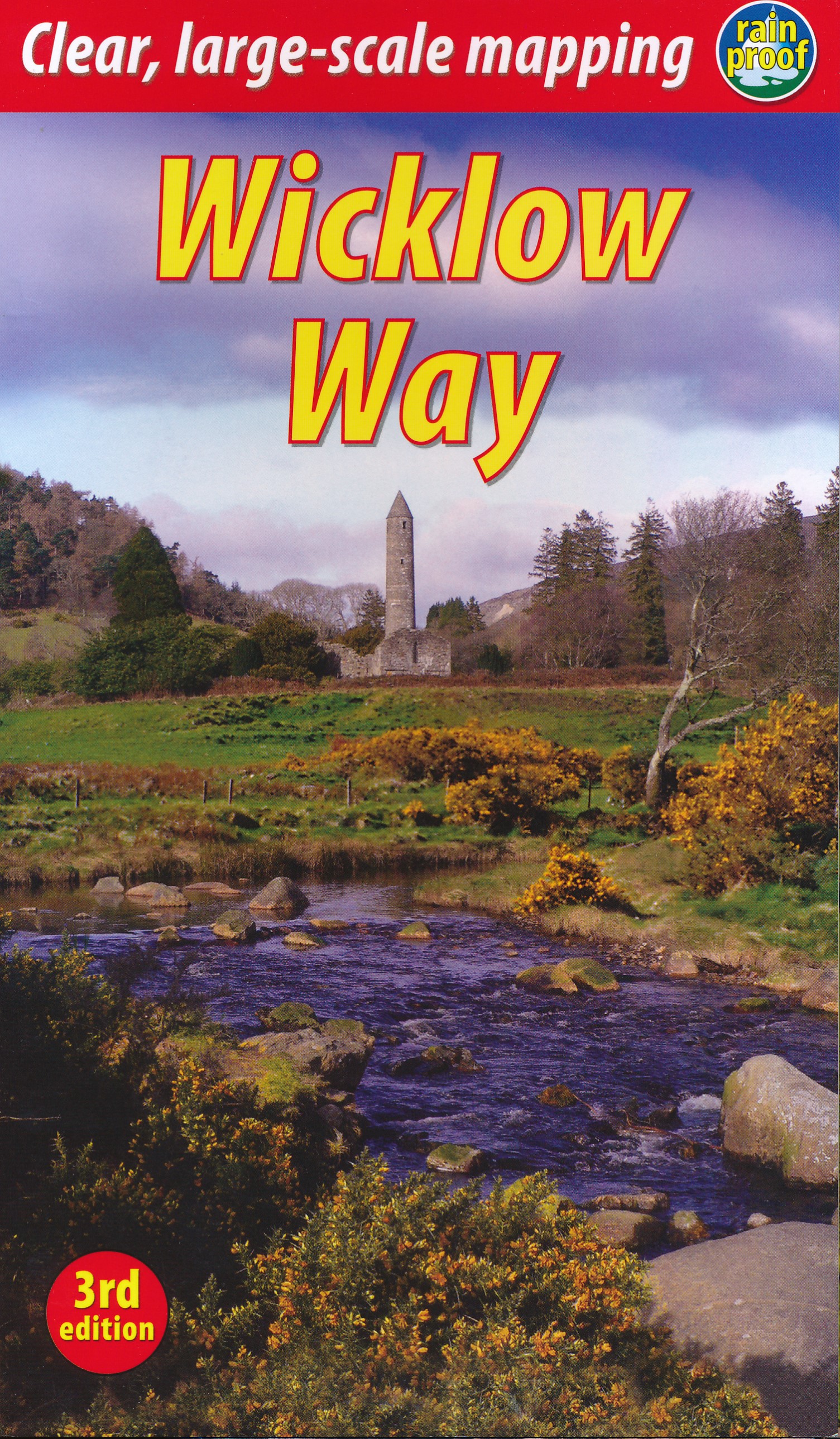
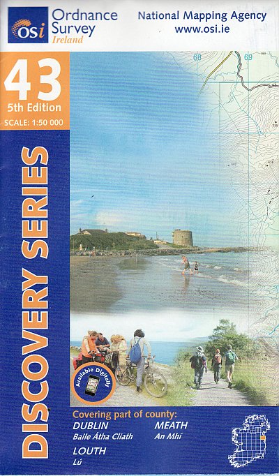
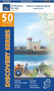
- Dublin - Meath - Kildare - Wicklow OSI Discovery 50
- Map No. 50, Dublin - Kildare North-East in the Discovery series from the OSI, the Ordnance Survey of Ireland, which presents the country on detailed topographic maps at 1:50,000, with additional overprint highlighting campsites and caravan parks, youth hostels, etc. Current 7th edition of this map was published in summer 2015.Maps in the... Leer más
- Also available from:
- De Zwerver, Netherlands
De Zwerver
Netherlands
Netherlands
- Topografische kaart - Wandelkaart 50 Discovery Dublin, Kildare, Meath, Wicklow | Ordnance Survey Ireland
- Map No. 50, Dublin - Kildare North-East in the Discovery series from the OSI, the Ordnance Survey of Ireland, which presents the country on detailed topographic maps at 1:50,000, with additional overprint highlighting campsites and caravan parks, youth hostels, etc. Current 7th edition of this map was published in summer 2015.Maps in the... Leer más

Stanfords
United Kingdom
United Kingdom
- Strandzha Mountains: Burgas to the Turkish Border Domino Map
- Strandzha Mountains in the south-eastern corner of Bulgaria between Burgas to the Turkish border on a contoured and GPS compatible map from Domino showing local hiking trails and highlighting various interesting sites, with three more detailed enlargements at 1:25,000. Most place names are in both Latin and Cyrillic alphabet; map legend... Leer más
- Also available from:
- De Zwerver, Netherlands

De Zwerver
Netherlands
Netherlands
- Wandelkaart Strandzha - Bulgarije | Domino
- Strandzha Mountains in the south-eastern corner of Bulgaria between Burgas to the Turkish border on a contoured and GPS compatible map from Domino showing local hiking trails and highlighting various interesting sites, with three more detailed enlargements at 1:25,000. Most place names are in both Latin and Cyrillic alphabet; map legend... Leer más

Stanfords
United Kingdom
United Kingdom
- Rila Mountains Domino
- Rila Mountains at 1:50,000 on a large, double-sided, contoured map with GPS waypoints for shelters and chalets, peaks, etc. and highlighting hiking routes. Topography is shown by contours at 50m intervals with additional relief shading and graphics and colouring for scree, single rocks over 5m high, marshlands and pine scrub and forests. An... Leer más
- Also available from:
- De Zwerver, Netherlands

De Zwerver
Netherlands
Netherlands
- Wandelkaart 5 Rila gebergte | Domino
- Rila Mountains at 1:50,000 on a large, double-sided, contoured map with GPS waypoints for shelters and chalets, peaks, etc. and highlighting hiking routes. Topography is shown by contours at 50m intervals with additional relief shading and graphics and colouring for scree, single rocks over 5m high, marshlands and pine scrub and forests. An... Leer más

De Zwerver
Netherlands
Netherlands
- Wandelkaart Sredna Gora - Bulgarije | Domino
- Pirin Mountains at 1:50,000 on a large, double-sided, contoured map with GPS waypoints for shelters and chalets, peaks, etc. and highlighting hiking routes. Topography is shown by contours at 40m intervals with additional relief shading and graphics and colouring for sandstone stacks, single rocks over 5m high, marshlands and different types of... Leer más

Stanfords
United Kingdom
United Kingdom
- Pirin Mountains Domino
- Pirin Mountains at 1:50,000 on a large, double-sided, contoured map with GPS waypoints for shelters and chalets, peaks, etc. and highlighting hiking routes. Topography is shown by contours at 40m intervals with additional relief shading and graphics and colouring for sandstone stacks, single rocks over 5m high, marshlands and different types of... Leer más
- Also available from:
- De Zwerver, Netherlands

De Zwerver
Netherlands
Netherlands
- Wandelkaart 6 Pirin gebergte | Domino
- Pirin Mountains at 1:50,000 on a large, double-sided, contoured map with GPS waypoints for shelters and chalets, peaks, etc. and highlighting hiking routes. Topography is shown by contours at 40m intervals with additional relief shading and graphics and colouring for sandstone stacks, single rocks over 5m high, marshlands and different types of... Leer más