
Mývatn
Descripción

Mývatn – mosquito lake – is a beloved lake in the north. It is a must for birdwatchers because you will see ducks that only live here. It is a pleasant area too, with a relatively dry climate, and people love to spend their holidays here. The active volcano Krafla – don't expect a big mountain – can be explored. It's surroundings are still hot and fuming. A good area for easy and safe walks.
Enlaces
Datos
Informes
Guías y mapas
Hospedaje
Organizaciones
Operadores turísticos
GPS
Otro
Libros

The Book Depository
United Kingdom
United Kingdom
- ICELAND, Myvatn Lake, sightseeing, hiking & trekking
- Smart Travel Guide Leer más
Bol.com
Netherlands
Netherlands
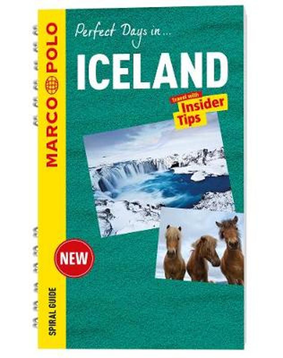
- Iceland Marco Polo Travel Guide - with pull out map
- For advice you can trust, look no further than Marco Polo. The Iceland Marco Polo Spiral Guide is a compact travel guide for people who have little time to prepare for a trip, don't want to miss anything, like to be inspired by great ideas for exciting days out and love all things ultra-practical and easy to use. Spend a weekend in Reykjavik,... Leer más
- Also available from:
- Bol.com, Belgium
Bol.com
Belgium
Belgium
- Iceland Marco Polo Travel Guide - with pull out map
- For advice you can trust, look no further than Marco Polo. The Iceland Marco Polo Spiral Guide is a compact travel guide for people who have little time to prepare for a trip, don't want to miss anything, like to be inspired by great ideas for exciting days out and love all things ultra-practical and easy to use. Spend a weekend in Reykjavik,... Leer más
Bol.com
Netherlands
2016
Netherlands
2016
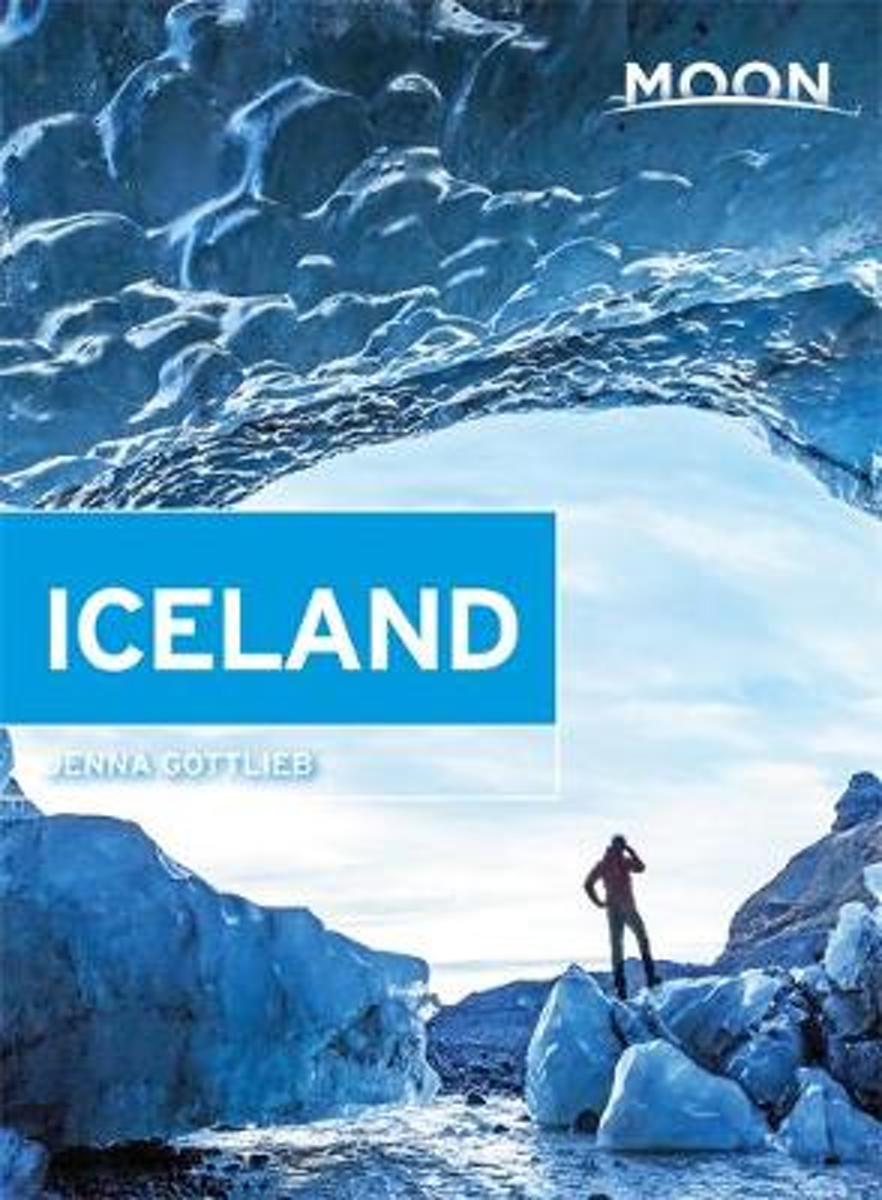
- Moon Iceland
- Iceland resident Jenna Gottlieb reveals the local secrets of her adopted country, from the colorful galleries and humming restaurants of Reykjavik the stunning fjords of East Iceland. Gottlieb recommends unique trip ideas like Reykjavik: The Urban Experience, Long Weekend in Iceland, and Countryside Adventures. Complete with detailed... Leer más
- Also available from:
- Bol.com, Belgium
Bol.com
Belgium
2016
Belgium
2016
- Moon Iceland
- Iceland resident Jenna Gottlieb reveals the local secrets of her adopted country, from the colorful galleries and humming restaurants of Reykjavik the stunning fjords of East Iceland. Gottlieb recommends unique trip ideas like Reykjavik: The Urban Experience, Long Weekend in Iceland, and Countryside Adventures. Complete with detailed... Leer más
Mapas

Stanfords
United Kingdom
United Kingdom
- Myvatn
- Myvatn area of Iceland at 1:100,000 in a series of hiking and recreational topographic maps from Sogur Utgafa, with 27 hiking and riding tracks highlighted and described in detail. The map presents detailed picture of the area’s topography, with contours at 20m intervals supplemented by spot heights and relief shading. The colouring indicates... Leer más

Stanfords
United Kingdom
United Kingdom
- Iceland North: Hvammstangi - Mývatn Lake
- Northern Iceland at 1:200,000 on a detailed map from Mál og Menning with exceptionally vivid presentation of the country’s topography and landscape, hard surface or gravel roads and numerous country tracks, superb drawings of local birds and flowers, etc. Coverage extends from Hvammstangi in the west to Lake Mývatn in the east.Maps in this... Leer más

Stanfords
United Kingdom
United Kingdom
- Iceland North East: Húsavik - Lake Mývatn - Bakkagerði
- North-Eastern Iceland at 1:200,000 on a detailed map from Mál og Menning with exceptionally vivid presentation of the country’s topography and landscape, hard surface or gravel roads and numerous country tracks, superb drawings of local birds and flowers, etc. Coverage extends from Húsavik and Lake Mývatn to the eastern coast.Maps in this... Leer más

Stanfords
United Kingdom
United Kingdom
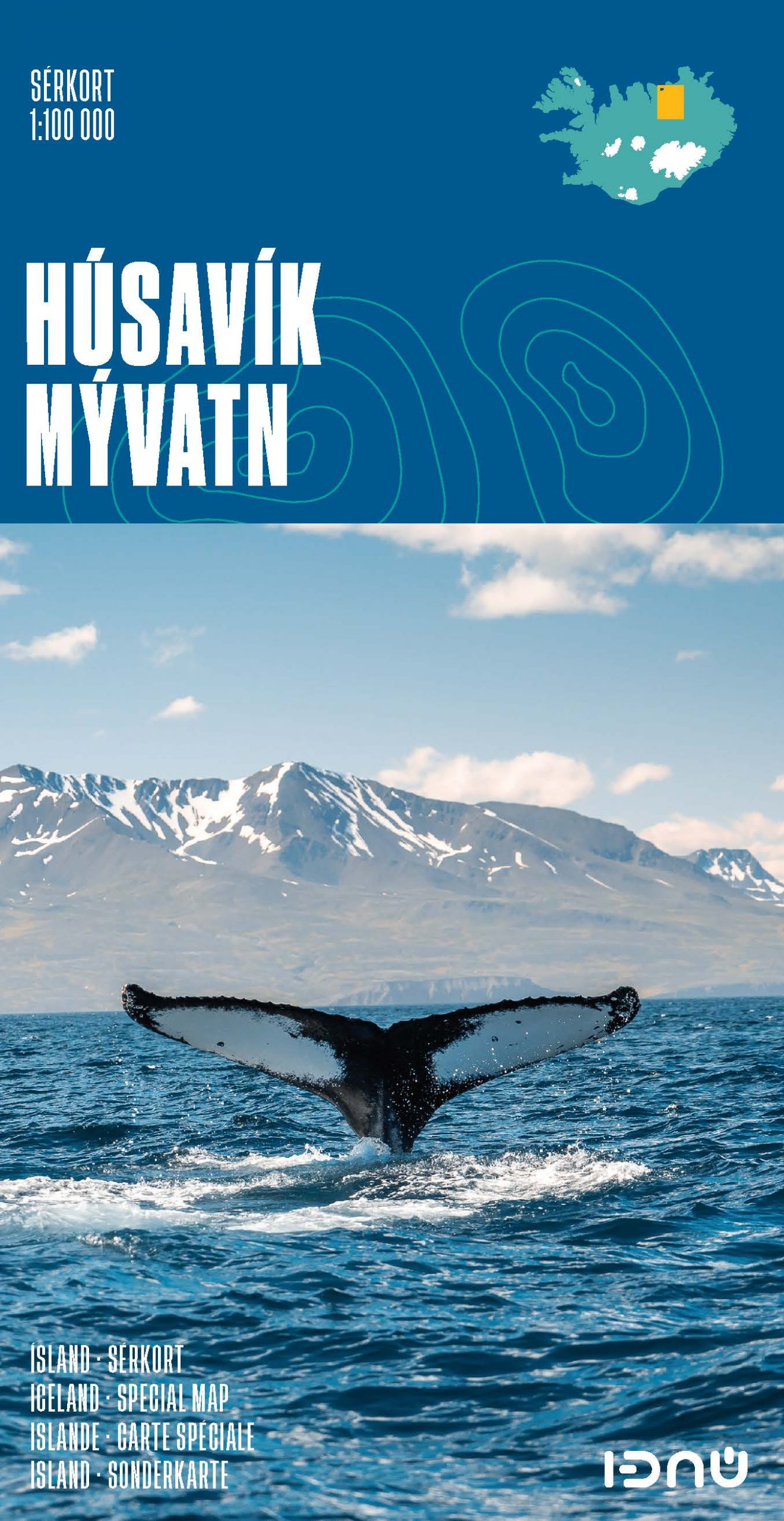
- Husavik - Lake Mývatn SUPERCEDED
- Husavik – Mývatn at 1:100,000 in a series of special detailed hiking and touring maps, based on the Icelandic topographic survey, covering an area south of Húsavik including Lake Mývatn and its surroundings. Contours are at 20-metre intervals, with several types of terrain and vegetation indicated, e.g. different types of forest, sand, moraine,... Leer más

Stanfords
United Kingdom
United Kingdom
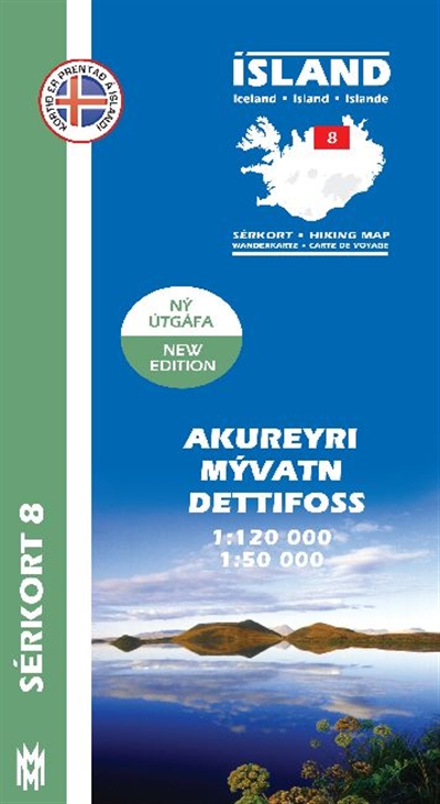
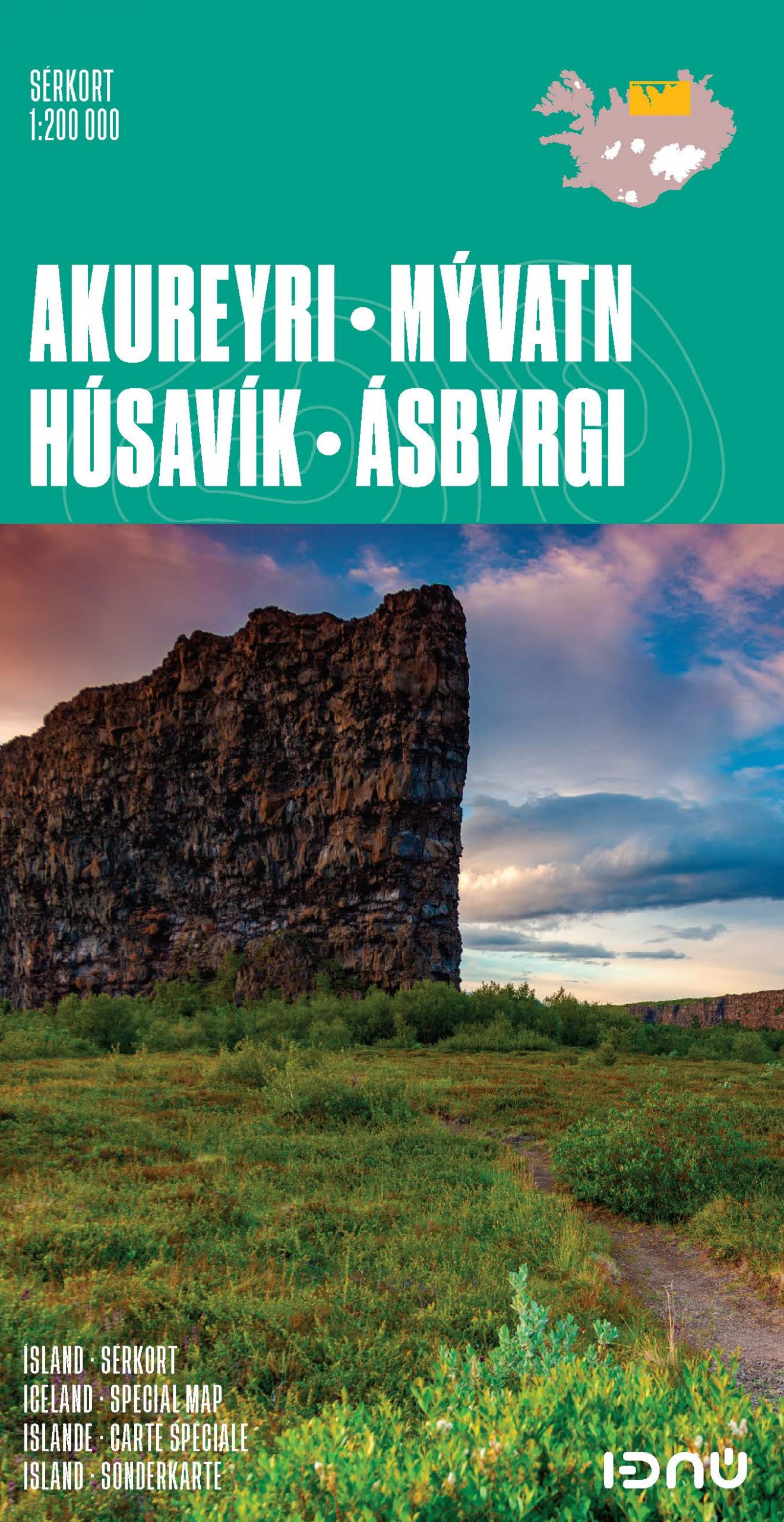
- Akureyri - Mývatn - Dettifoss
- Akureyri - Mývatn - Dettifoss area of Iceland at 1:120,000 in a series of detailed hiking and recreational topographic maps from Mál og menning - the country`s leading cartographic publishers, with beautiful drawings of local birds and tourist information. Two enlargements show in greater detail at 1:50,000 Mývatn Lake and its surroundings,... Leer más
- Also available from:
- De Zwerver, Netherlands
De Zwerver
Netherlands
Netherlands
- Wandelkaart 08 Serkort Akureyri - Mývatn - Dettifoss - IJsland | Mal og Menning
- De wandelkaartenserie van Mal og Menning is bijzonder duidelijk en geschikt voor alle recreatieve doeleinden, ze zijn gebaseerd op de topografische kaarten van IJsland. De kaart laat een gedetailleerd beeld zien van de landschapskenmerken, hoogtelijnen op basis van 20 m. met hoogtepunten apart vermeld. Verschil in kleur en symbolen geven een... Leer más
De Zwerver
Netherlands
Netherlands
- Wandelkaart - Topografische kaart 83 Atlaskort Myvatn | Ferdakort
- Deze kaarten zijn niet direkt op voorraad. De levertijd is echter normaal gesproken slechts enkele dagen. Niet alle kaarten van deze serie zijn op dit moment beschikbaar. De kaarten die u niet kunt vinden vanuit het overzicht zijn niet leverbaar. Deze serie topografische kaarten van IJsland zijn goed gedetailleerd. Alle topografische details... Leer más
De Zwerver
Netherlands
Netherlands
Stanfords
United Kingdom
United Kingdom
- Husavik - Lake Mývatn IDNU Map
- Husavik – Mývatn at 1:100,000 in a series of special detailed hiking and touring maps, based on the Icelandic topographic survey, covering an area south of Húsavik including Lake Mývatn and its surroundings. Contours are at 20-metre intervals, with several types of terrain and vegetation indicated, e.g. different types of forest, sand, moraine,... Leer más
- Also available from:
- De Zwerver, Netherlands

De Zwerver
Netherlands
Netherlands
- Wandelkaart 4 Husavik - Mývatn - Muggenmeer IJsland | Ferdakort
- Husavik – Mývatn at 1:100,000 in a series of special detailed hiking and touring maps, based on the Icelandic topographic survey, covering an area south of Húsavik including Lake Mývatn and its surroundings. Contours are at 20-metre intervals, with several types of terrain and vegetation indicated, e.g. different types of forest, sand, moraine,... Leer más