
Lónsöræfi
Descripción

Lónsöræfi is a mountainous wilderness in south-east Iceland. There are colourful mountains rising over 1300 m, wide rivers, glacier tongues from Vatnajökull. It's good for hiking. The trail Snæfell– Lónsöræfi is passing through the area. You can explore other valleys too. The area has three huts, and when heading for mount Snæfell (1833 m) one will come along more huts.
Senderos en región
Enlaces
Datos
Informes
Guías y mapas
Hospedaje
Organizaciones
Operadores turísticos
GPS
Otro
Mapas

Stanfords
United Kingdom
United Kingdom
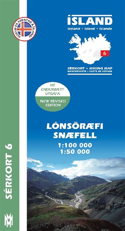
- Lónsöræfi - Snæfell
- Lónsöræfi - Snæfell area of Iceland at 1:100,000 in a series of detailed hiking and recreational topographic maps from Mál og menning - the country`s leading cartographic publishers, with beautiful drawings of local birds and tourist information. An enlargement shows the Snæfell area in greater detail at 1:50,000.The maps in this series... Leer más
- Also available from:
- De Zwerver, Netherlands
De Zwerver
Netherlands
Netherlands
- Wandelkaart 06 Serkort Lónsöræfi - Snæfell - IJsland | Mal og Menning
- De wandelkaartenserie van Mal og Menning is bijzonder duidelijk en geschikt voor alle recreatieve doeleinden, ze zijn gebaseerd op de topografische kaarten van IJsland. De kaart laat een gedetailleerd beeld zien van de landschapskenmerken, hoogtelijnen op basis van 20 m. met hoogtepunten apart vermeld. Verschil in kleur en symbolen geven een... Leer más