
Hochrhein Höhenweg
Descripción
- Name Hochrhein Höhenweg
- Distancia de sendero 125 km, 78 millas
- Duración en días 6 días
- Inicio de sendero Basel
- Fin de sendero Schaffhausen
- Clasificación Traildino EW, Paseo fácil, sendero en la naturaleza

Hochrhein Höhenweg, Basel - Schaffhausen, 125 km, 6 days
The southern edge of the Black Forest abruptly ends at the Rhine valley between Schaffhausen and Basel. Rivers like the Wehra, Murg and Alb dug themselves deep into the rock. From the steep slopes one has good views of the Swiss Jura and Alps in the south, and the higher parts of the Black Forest in the north. Nice walk if you love wide views and don't mind to climb and descend a lot.
Select some tracks
☐Hochrhein-Höhenweg, 127km
Enlaces
Datos
Informes
Guías y mapas
Hospedaje
Organizaciones
Operadores turísticos
GPS
Otro
Libros
Bol.com
Netherlands
2017
Netherlands
2017
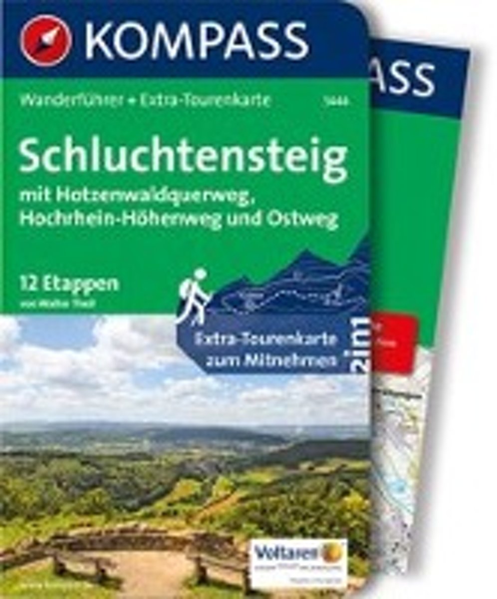
- WF5444 Schluchtensteig, mit Hotzenwaldquerweg, Hochrhein-Höhenweg und Ostweg Kompass
- De Kompass wandelgids + kaart geeft een overzicht van alle wandelroutes in het gebied met nauwkeurige routeaanwijzingen en hoogteaanduidingen, De extra grote kaart, schaal 1:35 000, is ideaal om van te voren uw route uit te stippelen en om onderweg te gebruiken; naast de bekende bestemmingen, worden ook de minder bekende vermeld; openbaar... Leer más
- Also available from:
- Bol.com, Belgium
Bol.com
Belgium
2017
Belgium
2017
- WF5444 Schluchtensteig, mit Hotzenwaldquerweg, Hochrhein-Höhenweg und Ostweg Kompass
- De Kompass wandelgids + kaart geeft een overzicht van alle wandelroutes in het gebied met nauwkeurige routeaanwijzingen en hoogteaanduidingen, De extra grote kaart, schaal 1:35 000, is ideaal om van te voren uw route uit te stippelen en om onderweg te gebruiken; naast de bekende bestemmingen, worden ook de minder bekende vermeld; openbaar... Leer más