
Hamburg
Descripción
Senderos en estado
Enlaces
Datos
Informes
Guías y mapas
Hospedaje
Organizaciones
Operadores turísticos
GPS
Otro
Libros

Bol.com
Netherlands
Netherlands
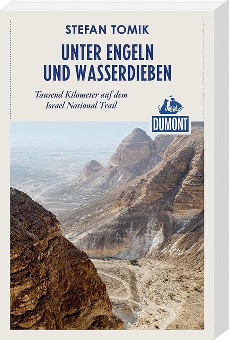
- DuMont Reiseabenteuer Unter Engeln und Wasserdieben
- aIsrael zu Fuß erlebtDer Weg durch die Negev-Wüste zehrt an den Kräften. Dort hat Stefan Tomik vor seiner Wanderung Wasserdepots angelegt. Aber die Sorge, dass sie geplündert werden, reist immer mit. Der Trail führt ihn über Klippen und Grate, durch Canyons und Krater. Er trifft auf einen Mitwanderer, der eine Pistole trägt, und ihn vor... Leer más
- Also available from:
- Bol.com, Belgium
Bol.com
Belgium
Belgium
- DuMont Reiseabenteuer Unter Engeln und Wasserdieben
- aIsrael zu Fuß erlebtDer Weg durch die Negev-Wüste zehrt an den Kräften. Dort hat Stefan Tomik vor seiner Wanderung Wasserdepots angelegt. Aber die Sorge, dass sie geplündert werden, reist immer mit. Der Trail führt ihn über Klippen und Grate, durch Canyons und Krater. Er trifft auf einen Mitwanderer, der eine Pistole trägt, und ihn vor... Leer más

De Zwerver
Netherlands
2021
Netherlands
2021
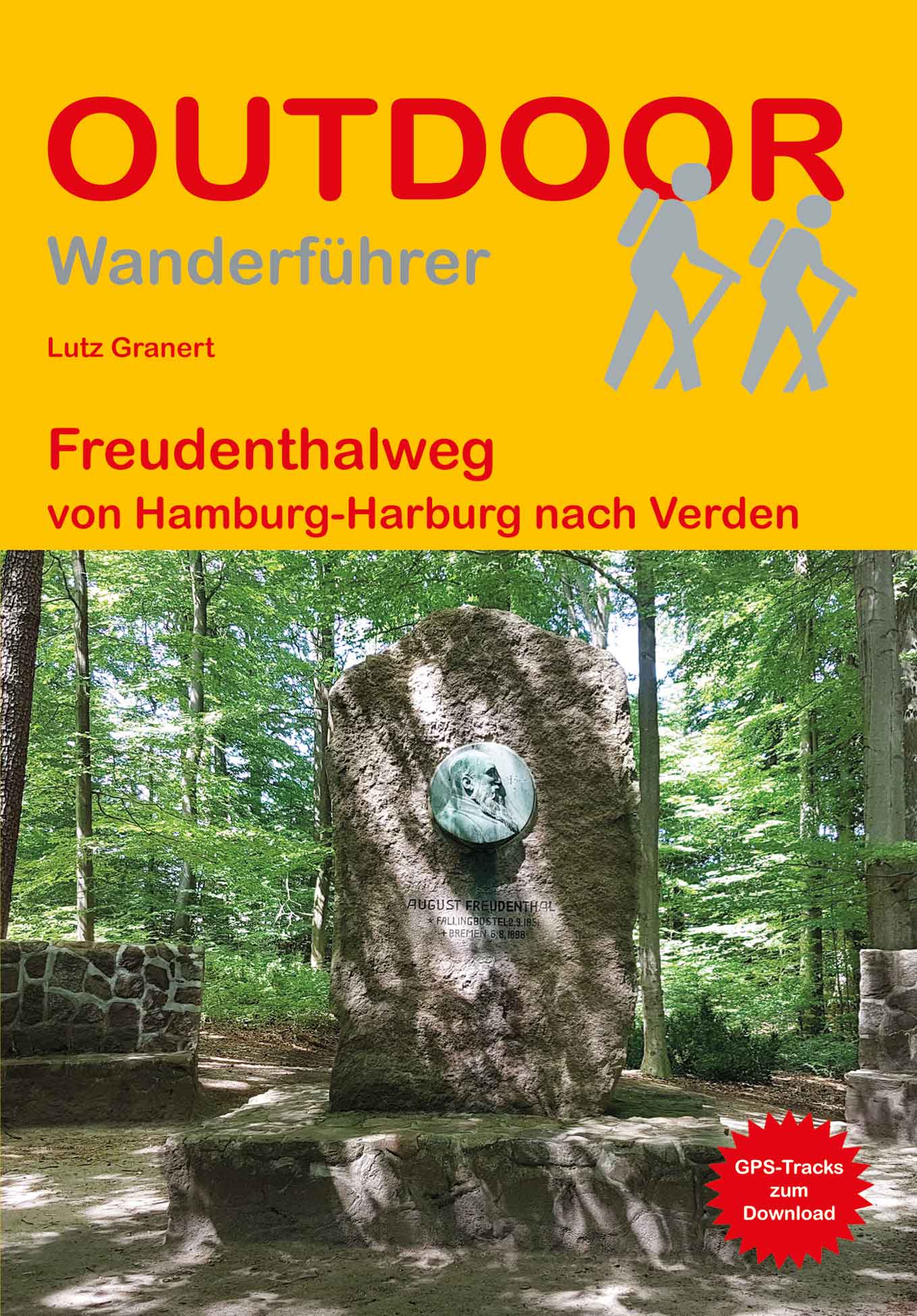
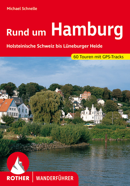
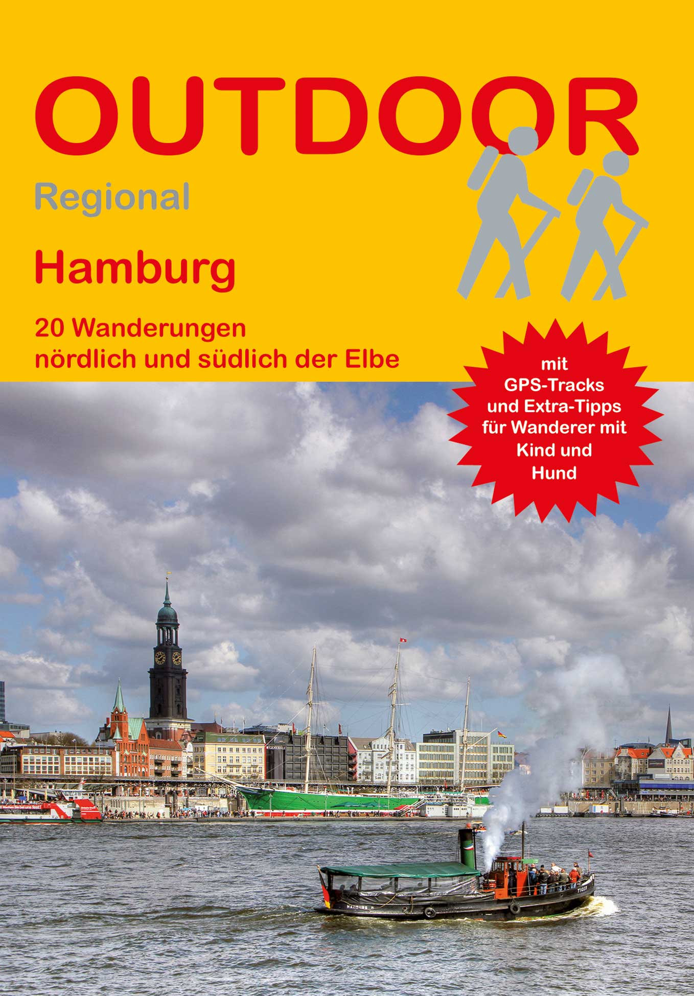
- Wandelgids Rund um Hamburg | Rother Bergverlag
- Uitstekende wandelgids met een groot aantal dagtochten in dal en hooggebergte. Met praktische informatie en beperkt kaartmateriaal! Wandelingen in verschillende zwaarte weergegeven in rood/blauw/zwart. 50 Wanderungen in Hamburgs Umland, nicht nur für Wochenendausflügler Das Umland Hamburgs ist von einer beeindruckenden landschaftlichen Vielfalt... Leer más
Bol.com
Netherlands
Netherlands
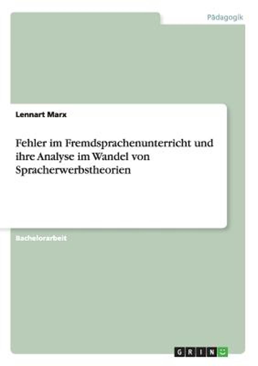
- Fehler Im Fremdsprachenunterricht Und Ihre Analyse Im Wandel Von Spracherwerbstheorien
- Bachelorarbeit aus dem Jahr 2012 im Fachbereich Englisch - Padagogik, Didaktik, Sprachwissenschaft, einseitig bedruckt, Note: 1,0, Universitat Hamburg, Sprache: Deutsch, Abstract: Im Jahre 1949 definierte der Padagoge Johannes Seemann Fehler als psychische Fehlleistungen," die zur Linderung eine harte Hand benotigten. 1975 bezeichnete der... Leer más
- Also available from:
- Bol.com, Belgium
Bol.com
Belgium
Belgium
- Fehler Im Fremdsprachenunterricht Und Ihre Analyse Im Wandel Von Spracherwerbstheorien
- Bachelorarbeit aus dem Jahr 2012 im Fachbereich Englisch - Padagogik, Didaktik, Sprachwissenschaft, einseitig bedruckt, Note: 1,0, Universitat Hamburg, Sprache: Deutsch, Abstract: Im Jahre 1949 definierte der Padagoge Johannes Seemann Fehler als psychische Fehlleistungen," die zur Linderung eine harte Hand benotigten. 1975 bezeichnete der... Leer más
De Zwerver
Netherlands
2011
Netherlands
2011
- Reisgids Kunstreiseführer Polen | Dumont
- Nur wenige Kilometer von Berlin entfernt beginnt Polen, der große, unbekannte Nachbar Deutschlands, mit dem ihn eine wechselvolle Geschichte verbindet. In der geographischen Mitte Europas gelegen, befand sich das Land seit einem Jahrtausend an der Schnittstelle europäischer Kultur, sodass sich hier eine erstaunliche Vielfalt kultureller... Leer más
Bol.com
Netherlands
Netherlands
- Germany Around 1900. A Colour Portrait
- This book rediscovers the very first color photographic images of Germany and with them a precious period of turn-of-the-century peace and prosperity. The images, dated from between 1889 and 1911, derive from the private collection of Marc Walter and, like TASCHEN's bestselling American Odyssey, are further rare examples of the Photochrom... Leer más
- Also available from:
- Bol.com, Belgium
Bol.com
Belgium
Belgium
- Germany Around 1900. A Colour Portrait
- This book rediscovers the very first color photographic images of Germany and with them a precious period of turn-of-the-century peace and prosperity. The images, dated from between 1889 and 1911, derive from the private collection of Marc Walter and, like TASCHEN's bestselling American Odyssey, are further rare examples of the Photochrom... Leer más


Bol.com
Netherlands
2016
Netherlands
2016
- time to momo - Hamburg
- Dit is de vernieuwde versie van de 100% Hamburg-gids! Jij gaat Hamburg ontdekken! Deze stad heeft het allemaal: van alternatieve wijken met tweedehands winkeltjes en markten tot chique klassiekers. Van de hipste restaurants met gerechten van over de hele wereld tot traditionele zeemanskroegen. Van indrukwekkende historische gebouwen tot de... Leer más
- Also available from:
- Bol.com, Belgium
Bol.com
Belgium
2016
Belgium
2016
- time to momo - Hamburg
- Dit is de vernieuwde versie van de 100% Hamburg-gids! Jij gaat Hamburg ontdekken! Deze stad heeft het allemaal: van alternatieve wijken met tweedehands winkeltjes en markten tot chique klassiekers. Van de hipste restaurants met gerechten van over de hele wereld tot traditionele zeemanskroegen. Van indrukwekkende historische gebouwen tot de... Leer más
Bol.com
Netherlands
Netherlands
- Miniatur Wunderland
- MINIATUR WUNDERLANDThe World's Largest Model Railway ExhibitThis picture book is printed in full color with more than beautiful 700 photos (photo size: 6.3'' x 3.5''). In Germany, they call it Miniatur Wunderland. This miniature wonderland is a model railway attraction in Hamburg, Germany, and the largest of its kind in the world. In March 2016... Leer más
- Also available from:
- Bol.com, Belgium
Bol.com
Belgium
Belgium
- Miniatur Wunderland
- MINIATUR WUNDERLANDThe World's Largest Model Railway ExhibitThis picture book is printed in full color with more than beautiful 700 photos (photo size: 6.3'' x 3.5''). In Germany, they call it Miniatur Wunderland. This miniature wonderland is a model railway attraction in Hamburg, Germany, and the largest of its kind in the world. In March 2016... Leer más

De Zwerver
Netherlands
2021
Netherlands
2021
Mapas

Stanfords
United Kingdom
United Kingdom
- Hamburg Borch
- Excellent laminated and waterproof map for visitors to Hamburg, combining a plan of the city with an enlargement for the town centre, a plan of Blankenese, a plan of Hamburg’s port area, and a map of the city’s environs. The main plan at 1:22,000 extends north from the Elbe to the airport, west to the E45 motorway and Volkspark, and east to... Leer más

Stanfords
United Kingdom
United Kingdom
- Alta Val Marecchia
- Map No. 126, Alta Val Marecchia, in a series of GPS compatible hiking maps at 1:50,000 from the Istituto Geografico Adriatico, covering parts of central Italy: eastern Tuscany, with northern Umbria and the Marches, plus the south-eastern of part of Emilia-Romagna.The maps have contours at 50m intervals with additional shading and numerous spot... Leer más

Stanfords
United Kingdom
United Kingdom
- Alta Valle del Santerno 23
- Map No. 22, Alta Valle del Lamone: Alto Appennino Faentino – Anello di Marradi, in series of contoured, GPS compatible hiking maps at 1:25,000 from the Istituto Geografico Adriatico, covering mainly the spine of the Apennines along the borders of Tuscany, Emilia-Romagna, Umbria and the Marches.Map in this series have contours at 25m intervals... Leer más

Stanfords
United Kingdom
United Kingdom
- Hamburg and Environs Cycling Map
- Hamburg and Surrounding Area on a waterproof, tear-resistant, GPS compatible cycling map at 1:75,000 from the ADFC (Allgemeiner Deutscher Fahrrad-Club - the official German cycling federation), in a series of maps with extensive overprint for long-distance and local cycling routes. GPS waypoints, route profiles, details of online links for... Leer más

Stanfords
United Kingdom
United Kingdom
- North Sea Coast Cycle Route 2 - Ems to Hamburg Bikeline Map-Guide
- The North Sea Cycle Route Part 2 – a 553-km long section from the Dutch/German border to Hamburg presented by Verlag Esterbauer in a guide with maps at 1:75,000 showing the route and its variants. Extensive information is conveyed by symbols, indicating road surface, campsites and other accommodation, repair workshops, recreational facilities,... Leer más

Stanfords
United Kingdom
United Kingdom
- Hamburg F&B
- Indexed street map of Hamburg at 1:20,000 from Freytag & Berndt with an enlargement of the New Town at 1:10,000. Mapping is bright, colourful and clear, with one-way streets shown, as well as the U-bahn, S-bahn, bus and rail networks with stops clearly indicated. Shipping routes are also displayed.Points of interest such as the city’s docks,... Leer más

Stanfords
United Kingdom
United Kingdom
- Monti Sibillini National Park Edizioni Multigraphic 60/61
- Monti Sibillini National Park at 1:25,000 on a double-sided contoured map from Edizioni Multigraphic highlighting local waymarked hiking routes including the GAS – Grand Anello dei Sibilini, the circular tour around the mountains.The map has contours at 25m intervals with colouring for woodlands. Waymarked routes are highlighted and annotated... Leer más
Stanfords
United Kingdom
United Kingdom
- Alta Valle del Metauro: Valle del Candigliano, Monte Nerone, Monte Catria
- Map No. 122, Alta Valle del Metauro: Valle del Candigliano, Monte Nerone, Monte Catria, in a series of GPS compatible hiking maps at 1:50,000 from the Istituto Geografico Adriatico, covering parts of central Italy: eastern Tuscany, with northern Umbria and the Marches, plus the south-eastern of part of Emilia-Romagna.The maps have contours at... Leer más
Stanfords
United Kingdom
United Kingdom
- Colline di Forlí
- Map No. 127, Colline di Forlí, in a series of GPS compatible hiking maps at 1:50,000 from the Istituto Geografico Adriatico, covering parts of central Italy: eastern Tuscany, with northern Umbria and the Marches, plus the south-eastern of part of Emilia-Romagna.The maps have contours at 50m intervals with additional shading and numerous spot... Leer más

Stanfords
United Kingdom
United Kingdom
- Hamburg - Berlin Cycle Route Bikeline Map-Guide
- Hamburg - Berlin Cycle Route, a 380-km long route along the Elbe and the Havel, presented by the Verlag Esterbauer in a guide with maps at 1:75,000 showing the route and its variants. Extensive information is conveyed by symbols, indicating road surface, campsites and other accommodation, repair workshops, recreational facilities, places of... Leer más

Stanfords
United Kingdom
United Kingdom
- Hamburg - Lübeck - Lüneburg ADAC Street Atlas
- Hamburg Region Street Atlas in a series of detailed atlases covering the whole of Germany at 1:20,000 with UTM coordinates for GPS navigation, postal codes and public transport, published by ADAC, the country’s largest motoring organization. The plans name all the individual streets and indicate all the main landmarks and public buildings. All... Leer más
Stanfords
United Kingdom
United Kingdom
- Alpe della Luna 17
- Map No. 16, Monte Carpegna - Sasso di Simone, in series of contoured, GPS compatible hiking maps at 1:25,000 from the Istituto Geografico Adriatico, covering mainly the spine of the Apennines along the borders of Tuscany, Emilia-Romagna, Umbria and the Marches.Map in this series have contours at 25m intervals with additional shading and... Leer más
Stanfords
United Kingdom
United Kingdom
- Monte Fumaiolo - Monte Comero 18
- Map No. 18, Monte Fumaiolo - Alto Tevere, in series of contoured, GPS compatible hiking maps at 1:25,000 from the Istituto Geografico Adriatico, covering mainly the spine of the Apennines along the borders of Tuscany, Emilia-Romagna, Umbria and the Marches.Map in this series have contours at 25m intervals with additional shading and numerous... Leer más

Stanfords
United Kingdom
United Kingdom
- Leine-Heath Cycle Route - Source to Hamburg Bikeline Map-Guide
- The Leine - Heide Cycle Route, a 410-km long cycle route from the source of the Leine across Hannover and Hildesheim to Hamburg, presented by the Verlag Esterbauer in a guide with maps at 1:50,000 showing the route and its variants. Extensive information is conveyed by symbols, indicating road surface, campsites and other accommodation, repair... Leer más

Stanfords
United Kingdom
United Kingdom
- Environs of Hamburg Cycling Atlas
- The environs of Hamburg Cycling Atlas at 1:75,000 in a series of handy size spiral bound atlases from Verlag Esterbauer, Europe’s leading publishers of cycling maps. Cycling atlases from Verlag Esterbauer have a map legend which includes English and, although ALL THE TEXT IN THESE GUIDES IS IN GERMAN ONLY, information provided on the maps is... Leer más