Verdon
Descripción

The Verdon is a region in the Provence, the south of France. Best known feature is the Gorges du Verdon, a ravine formed by the river Verdon, explored by the GR99.
Mapa

Senderos en región
Enlaces
Datos
Informes
Guías y mapas
Hospedaje
Organizaciones
Operadores turísticos
GPS
Otro
Libros

Stanfords
United Kingdom
2016
United Kingdom
2016
- Gorges, Lacs et Plateaux du Verdon à pied FFRP Topo-guide No. P042
- Gorges, Lacs et Plateaux du Verdon à pied, FFRP topo-guide Ref. No.P042, with 20 day walks of varying length and difficulty in the area around and north of the Verdon, including the famous Martel trail which descends to the bottom of the Grand Canyon, walks near Moustiers-Sainte-Marie, Lac de Ste-Croix, Castellane, etc. Each walk is presented... Leer más

Stanfords
United Kingdom
2019
United Kingdom
2019
- Volcan du Cantal - Pays de Saint-Flour - Haute-Auvergne GR400/4
- Volcan du Cantal: Pays de Saint-Flour et de Ruynes-en-Margeride, FFRP topoguide, Ref. No. 400, covering 600kms of long-distance paths in the Cantal region of the Massif Central, which can also be walked as shorter circuits. Current edition of this title was published in July 2013.To see other titles in this series please click on the series... Leer más
Stanfords
United Kingdom
2018
United Kingdom
2018
- Volcans et lacs d`Auvergne - Pays du Val d`Allier GR30/GR41
- Volcans et lacs d`Auvergne, FFRP topoguide Ref. no. 305, covering in all 886km of hiking trails across the volcanic landscape of the Auvergne west and south of Clermont-Ferrand, including sections of GR 30 and GR41. Current edition of this title was published in June 2014.ABOUT THE FFRP (Fédération française de la randonnée pédestre)... Leer más

Stanfords
United Kingdom
United Kingdom
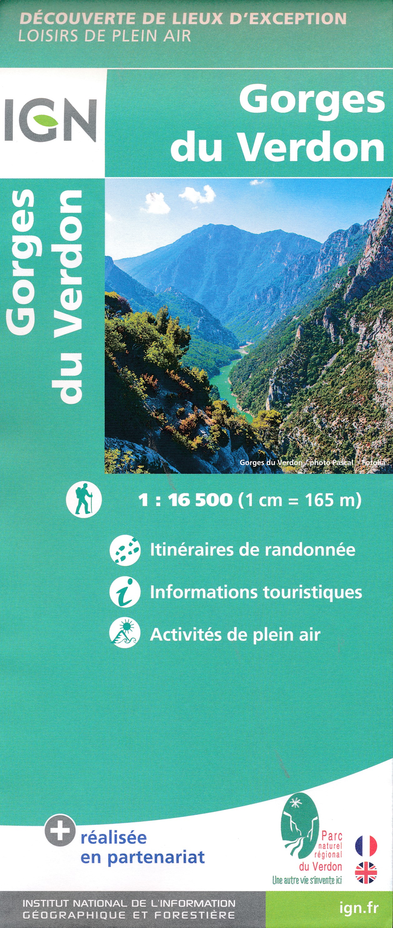
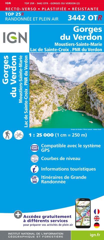
- Gorges du Verdon - Moustiers-Sainte-Marie - Lac de Ste-Croix - PNR du Verdon IGN WATERPROOF 3442OTR
- Topographic survey of France at 1:25,000 in IGN`s excellent TOP25 / Série Bleue series. All the maps are GPS compatible, with a 1km UTM grid plus latitude and longitude lines at 5’ intervals. Contours are at 5m intervals except for mountainous areas where the maps have contours at 10m intervals, vividly enhanced by hill shading and graphics for... Leer más

Stanfords
United Kingdom
United Kingdom
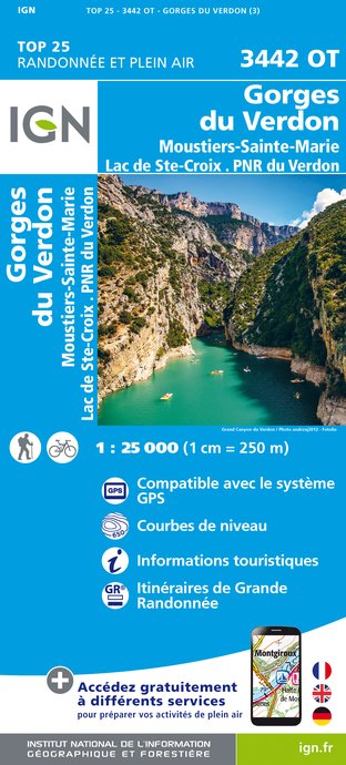
- Gorges du Verdon - Moustiers-Sainte-Marie - Lac de Ste-Croix - PNR du Verdon IGN 3442OT
- Topographic survey of France at 1:25,000 in IGN`s excellent TOP25 / Série Bleue series. All the maps are GPS compatible, with a 1km UTM grid plus latitude and longitude lines at 5’ intervals. Contours are at 5m intervals except for mountainous areas where the maps have contours at 10m intervals, vividly enhanced by hill shading and graphics for... Leer más
Stanfords
United Kingdom
2021
United Kingdom
2021
- Volcan du Cantal et Pays de Saint-Flour - Haute-Auvergne GR400/4
- Volcan du Cantal: Pays de Saint-Flour et de Ruynes-en-Margeride, FFRP topoguide, Ref. No. 400, covering 600kms of long-distance paths in the Cantal region of the Massif Central, which can also be walked as shorter circuits. Current edition of this title was published in July 2013.To see other titles in this series please click on the series... Leer más
- Also available from:
- The Book Depository, United Kingdom

Stanfords
United Kingdom
2021
United Kingdom
2021
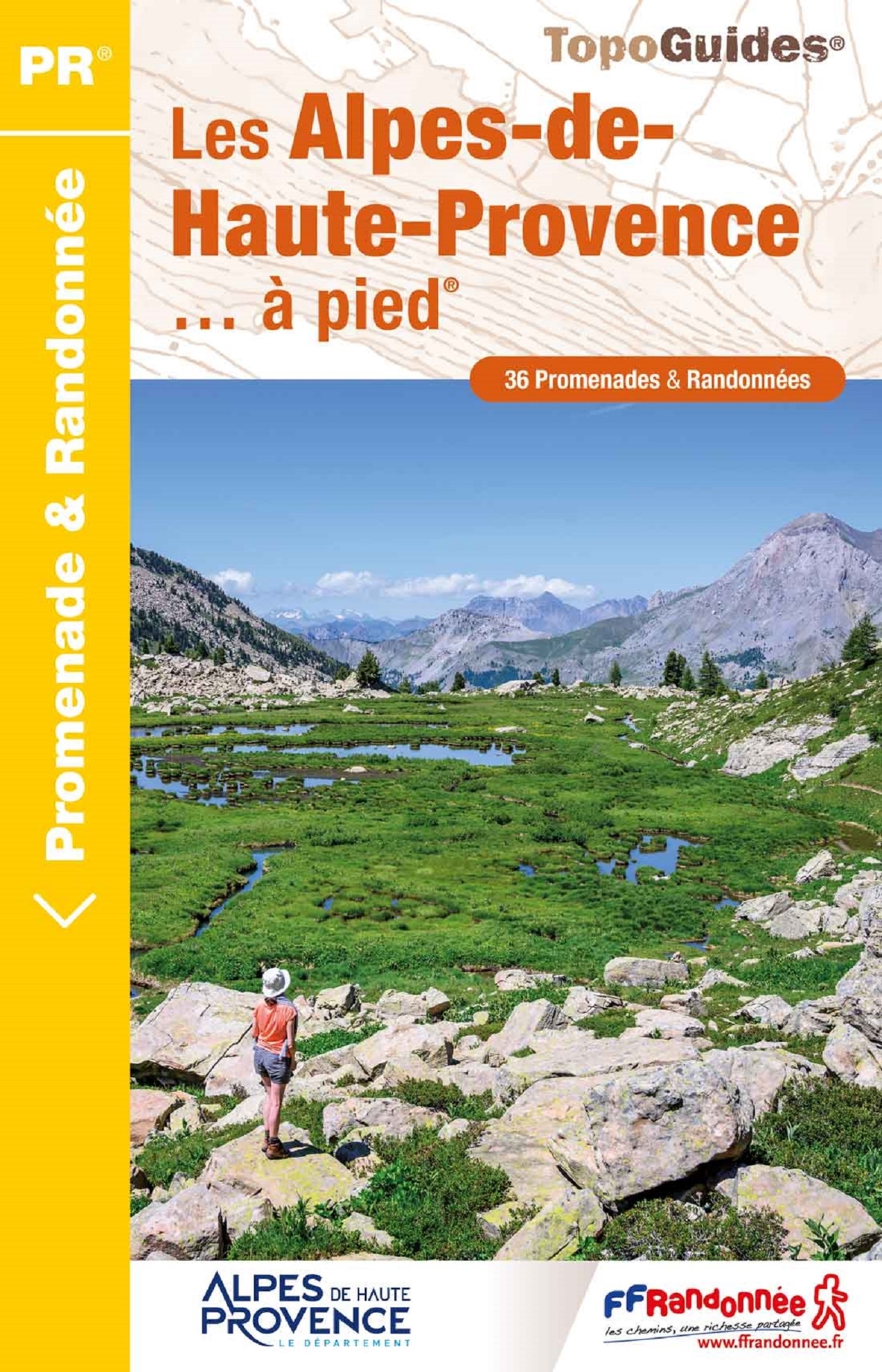
- Les Alpes-de-Haute-Provence a pied
- 36 walks through the Montagne de Lure, the Valensole plateau, the Verdon gorges, the Luberon and Mercantour parks ... Edition 2017Alps (France) Leer más
- Also available from:
- The Book Depository, United Kingdom


The Book Depository
United Kingdom
2019
United Kingdom
2019
- Also available from:
- De Zwerver, Netherlands
Bol.com
Netherlands
Netherlands
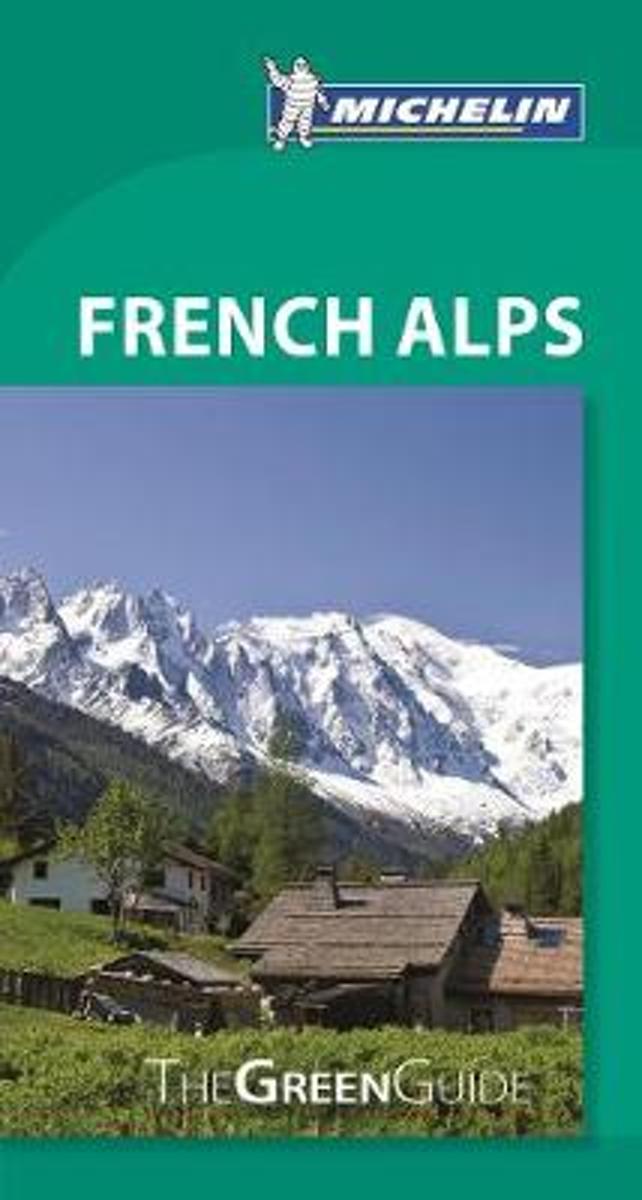
- Green Guide French Alps
- Expand your holiday horizons with Michelin Green Guide French Alps. This travel guide features detailed mapping, colour photos and insider coverage of skiing areas, hiking retreats, shopping, accommodation and restaurants. Explore Lake Annecy and the underrated Aravis mountains, La Tarentaise's legendary ski resorts, and the Verdon canyon with... Leer más
- Also available from:
- Bol.com, Belgium
Bol.com
Belgium
Belgium
- Green Guide French Alps
- Expand your holiday horizons with Michelin Green Guide French Alps. This travel guide features detailed mapping, colour photos and insider coverage of skiing areas, hiking retreats, shopping, accommodation and restaurants. Explore Lake Annecy and the underrated Aravis mountains, La Tarentaise's legendary ski resorts, and the Verdon canyon with... Leer más

The Book Depository
United Kingdom
2014
United Kingdom
2014
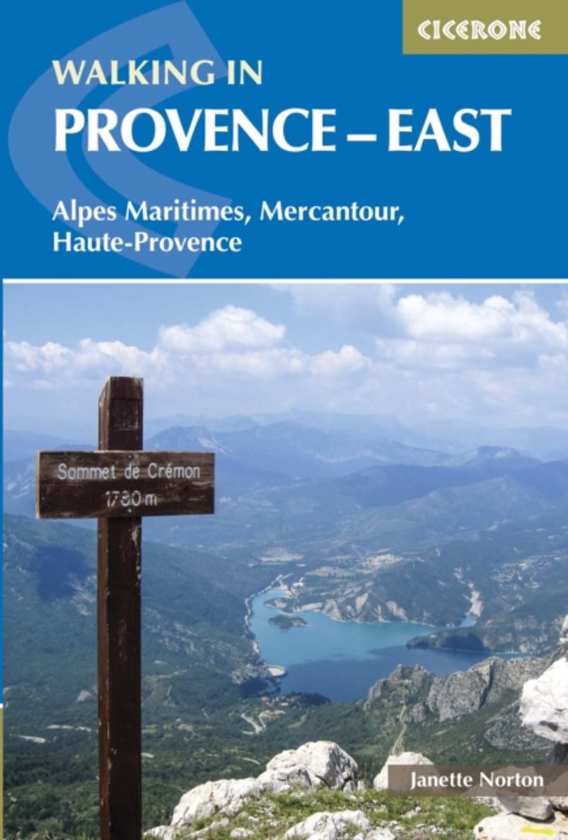
- Walking in Provence - East
- Alpes Maritimes, Alpes de Haute-Provence, Mercantour Leer más
- Also available from:
- Bol.com, Netherlands
- Bol.com, Belgium
- De Zwerver, Netherlands
Bol.com
Netherlands
2014
Netherlands
2014
- Walking in Provence: East
- This guide offers 30 circular day walks in the eastern half of Provence, the large sun-kissed coastal region of south-east France. Spanning from the red rocks in the sterel on the Mediterranean to high mountains inland, the walks are set in the areas of the Alpes Maritimes, the Alpes de Haute-Provence and the Mercantour.Provence is a colourful... Leer más
Bol.com
Belgium
2014
Belgium
2014
- Walking in Provence: East
- This guide offers 30 circular day walks in the eastern half of Provence, the large sun-kissed coastal region of south-east France. Spanning from the red rocks in the sterel on the Mediterranean to high mountains inland, the walks are set in the areas of the Alpes Maritimes, the Alpes de Haute-Provence and the Mercantour.Provence is a colourful... Leer más

De Zwerver
Netherlands
2014
Netherlands
2014
- Wandelgids Walking in Provence - East | Cicerone
- Guidebook to 30 varied day walks in the east of Provence in the Alpes Maritimes, Alpes de Haute-Provence and Mercantour, with practical information for the walker. Walks span from the Esterel on the coast to the Mercantour, and include the Verdon Gorge and Geological Reserve of Haute Provence, from bases such as Vence, Grasse and Digne-les-Bains. Leer más
Bol.com
Netherlands
Netherlands
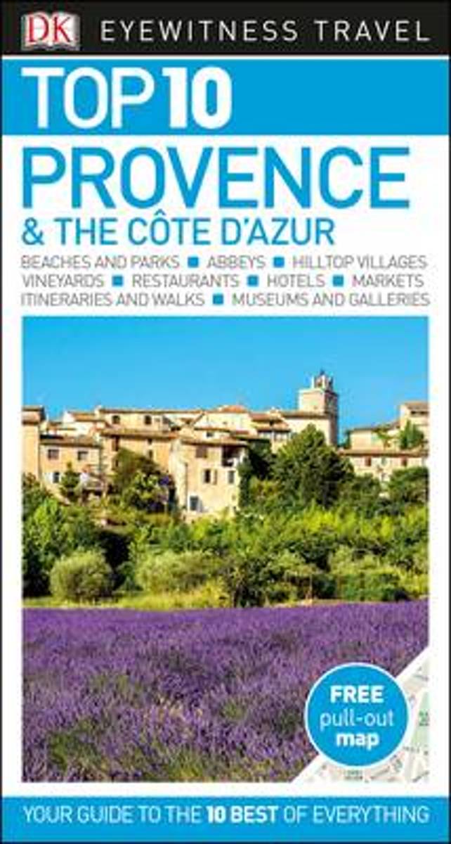
- Top 10 Provence and the Cote d'Azur
- An unbeatable, pocket-sized guide to Provence and the Cote d'Azur, packed with insider tips and ideas, colour maps, top 10 lists, and a laminated pull-out map - all designed to help you see the very best of Provence and the Cote d'Azur.Experience Riviera glamour in St Tropez, explore vast lagoons in the wild Camargue wetlands, wander historic... Leer más
- Also available from:
- Bol.com, Belgium
Bol.com
Belgium
Belgium
- Top 10 Provence and the Cote d'Azur
- An unbeatable, pocket-sized guide to Provence and the Cote d'Azur, packed with insider tips and ideas, colour maps, top 10 lists, and a laminated pull-out map - all designed to help you see the very best of Provence and the Cote d'Azur.Experience Riviera glamour in St Tropez, explore vast lagoons in the wild Camargue wetlands, wander historic... Leer más
De Zwerver
Netherlands
2022
Netherlands
2022
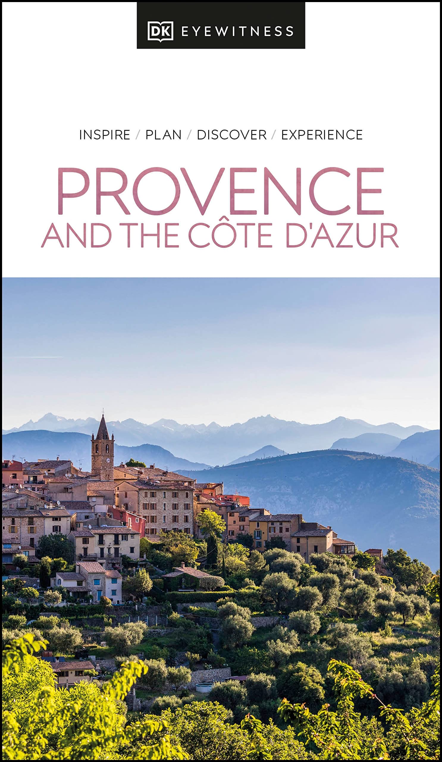
- Reisgids Eyewitness Travel Provence and the Cote d'Azur | Dorling Kindersley
- France`s most alluring region promises fragrant fields of lavender, incredible ancient relics and celebrated art collections.Whether you want to watch flocks of flamingos strutting across the wild wetlands of the Camargue, visit lush vineyards in the Rhone valley or simply soak up the sun in St-Tropez, your DK Eyewitness travel guide makes sure... Leer más
De Zwerver
Netherlands
2013
Netherlands
2013
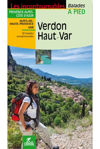
- Wandelgids Verdon - Haut Var | Chamina
- Wandelgids Verdon - Haut Verdon met dagwandelingen - Duidelijk kaartmateriaal met ingetekende routes, de beschrijvingen zijn goed. Daarnaast ook praktische informatie. . À la découverte du plus beau canyon d’Europe, 20 itinéraires entre Alpes-de-Haute-Provence et Var, entre collines de l’arrière-pays varois et Préalpes de Digne. • Introduction... Leer más

Bol.com
Netherlands
Netherlands
- Footprint South of France Footprint with Kids
- Artists escape here, films are made here, and families from across the world spend their holidays here: the South of France has long held a special place in the hearts of travellers. Looking for adventure? Ride a boat out into the Mediterranean or float gently down the Verdon in a canoe, walk along dramatic coastlines or go snorkelling and see... Leer más
- Also available from:
- Bol.com, Belgium
Bol.com
Belgium
Belgium
- Footprint South of France Footprint with Kids
- Artists escape here, films are made here, and families from across the world spend their holidays here: the South of France has long held a special place in the hearts of travellers. Looking for adventure? Ride a boat out into the Mediterranean or float gently down the Verdon in a canoe, walk along dramatic coastlines or go snorkelling and see... Leer más
Mapas

Stanfords
United Kingdom
United Kingdom
- Verdon - Lac de Sainte-Croix - Plateau de Valensole IGN 75013
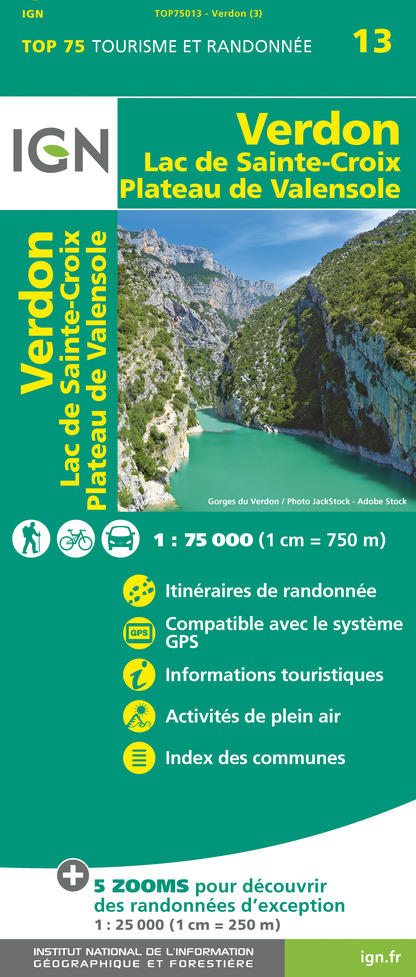
- Verdon and its Grand Canyon - Lac de Sainte Croix - Plateau de Valensole region in a series of GPS compatible, contoured TOP 75 maps at 1:75,000 from the IGN, highlighting local and long-distance hiking paths, cycling routes and sites for other recreational activities. The map includes five large panels showing the areas around les Mées, Gorges... Leer más

Stanfords
United Kingdom
United Kingdom
- Greoux-les-Bains - PNR du Verdon IGN 3343OT
- Topographic survey of France at 1:25,000 in IGN`s excellent TOP25 / Série Bleue series. All the maps are GPS compatible, with a 1km UTM grid plus latitude and longitude lines at 5’ intervals. Contours are at 5m intervals except for mountainous areas where the maps have contours at 10m intervals, vividly enhanced by hill shading and graphics for... Leer más

Stanfords
United Kingdom
United Kingdom
- Plateau de Valensole - Riez - Oraison - PNR du Verdon IGN 3342ET
- Topographic survey of France at 1:25,000 in IGN`s excellent TOP25 / Série Bleue series. All the maps are GPS compatible, with a 1km UTM grid plus latitude and longitude lines at 5’ intervals. Contours are at 5m intervals except for mountainous areas where the maps have contours at 10m intervals, vividly enhanced by hill shading and graphics for... Leer más

Stanfords
United Kingdom
United Kingdom
- Hungarian National Long-distance Blue Trail (E7): Irott-ko to Szekszard
- Hiking guide to the western section of Hungary’s National Blue Trail, including part of the E7 European long-distance footpath. The guide covers the route from Írott-ko in the Koszegi range on the Austrian border, across the Orség National Park and the Mecsek Hills near Pécs, to Szekszárd. At the border crossing with Slovakia near... Leer más

Stanfords
United Kingdom
United Kingdom
- Castellane - Lac de Castillon - PNR du Verdon IGN 3542OT
- Topographic survey of France at 1:25,000 in IGN`s excellent TOP25 / Série Bleue series. All the maps are GPS compatible, with a 1km UTM grid plus latitude and longitude lines at 5’ intervals. Contours are at 5m intervals except for mountainous areas where the maps have contours at 10m intervals, vividly enhanced by hill shading and graphics for... Leer más

Stanfords
United Kingdom
United Kingdom
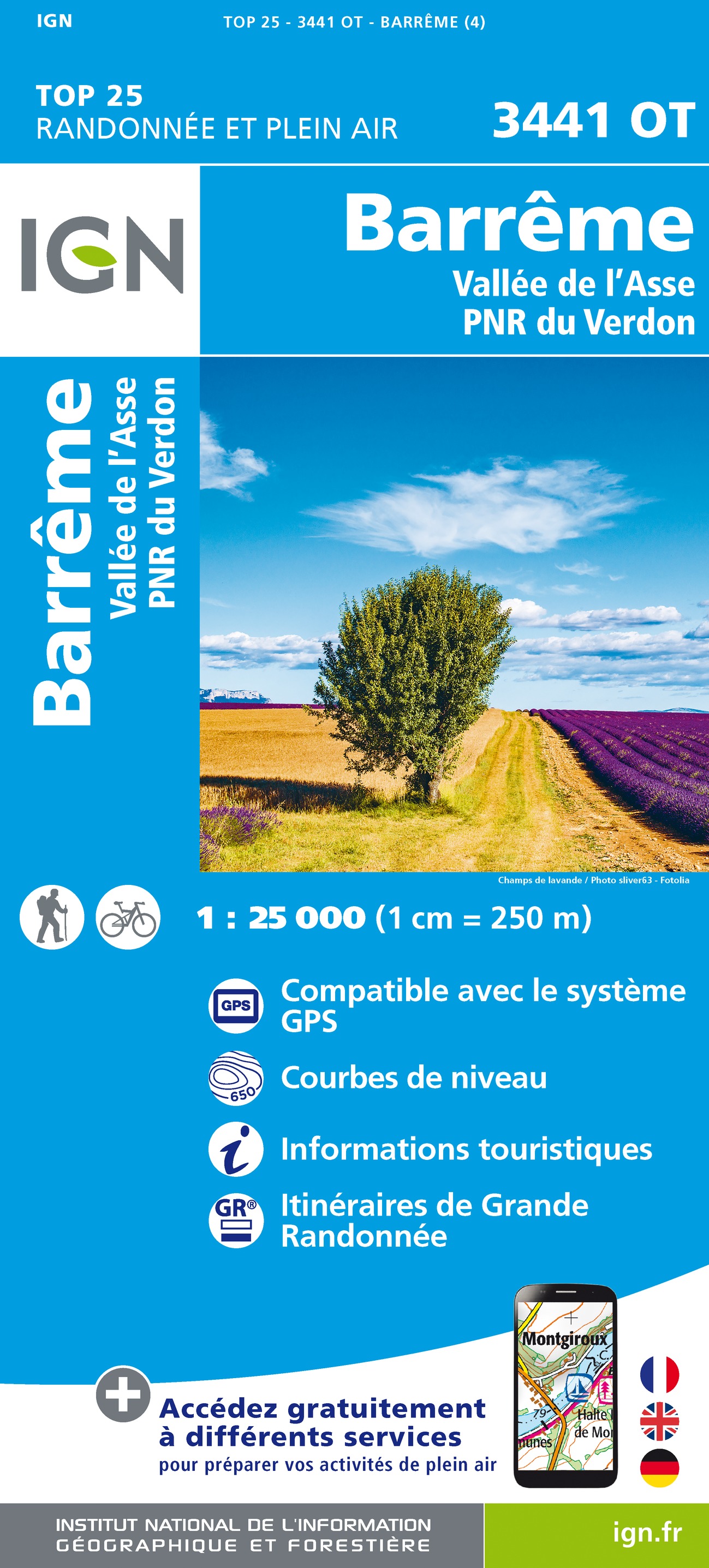
- Barreme - Vallee de l`Asse - PNR du Verdon IGN 3441OT
- Topographic survey of France at 1:25,000 in IGN`s excellent TOP25 / Série Bleue series. All the maps are GPS compatible, with a 1km UTM grid plus latitude and longitude lines at 5’ intervals. Contours are at 5m intervals except for mountainous areas where the maps have contours at 10m intervals, vividly enhanced by hill shading and graphics for... Leer más
- Also available from:
- The Book Depository, United Kingdom
- De Zwerver, Netherlands

The Book Depository
United Kingdom
United Kingdom
- Barreme / Vallee de l'Asse / PNR du Verdon
- Topographic survey of France at 1:25,000 in IGN`s excellent TOP25 / Série Bleue series. All the maps are GPS compatible, with a 1km UTM grid plus latitude and longitude lines at 5’ intervals. Contours are at 5m intervals except for mountainous areas where the maps have contours at 10m intervals, vividly enhanced by hill shading and graphics for... Leer más
De Zwerver
Netherlands
Netherlands
- Wandelkaart - Topografische kaart 3441OT Barrême | IGN - Institut Géographique National
- Topographic survey of France at 1:25,000 in IGN`s excellent TOP25 / Série Bleue series. All the maps are GPS compatible, with a 1km UTM grid plus latitude and longitude lines at 5’ intervals. Contours are at 5m intervals except for mountainous areas where the maps have contours at 10m intervals, vividly enhanced by hill shading and graphics for... Leer más

- Also available from:
- De Zwerver, Netherlands

The Book Depository
United Kingdom
2022
United Kingdom
2022
- Also available from:
- De Zwerver, Netherlands
De Zwerver
Netherlands
2022
Netherlands
2022

Stanfords
United Kingdom
United Kingdom
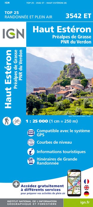
- Haut-Esteron - Prealpes de Grasse - PNR du Verdon IGN 3542ET
- Topographic survey of France at 1:25,000 in IGN`s excellent TOP25 / Série Bleue series. All the maps are GPS compatible, with a 1km UTM grid plus latitude and longitude lines at 5’ intervals. Contours are at 5m intervals except for mountainous areas where the maps have contours at 10m intervals, vividly enhanced by hill shading and graphics for... Leer más
- Also available from:
- The Book Depository, United Kingdom
- De Zwerver, Netherlands

The Book Depository
United Kingdom
United Kingdom
- Haute Esteron / Prealpes de Grasse / PNR Verdon
- Topographic survey of France at 1:25,000 in IGN`s excellent TOP25 / Série Bleue series. All the maps are GPS compatible, with a 1km UTM grid plus latitude and longitude lines at 5’ intervals. Contours are at 5m intervals except for mountainous areas where the maps have contours at 10m intervals, vividly enhanced by hill shading and graphics for... Leer más
De Zwerver
Netherlands
Netherlands
- Wandelkaart - Topografische kaart 3542ET Haute Estéron | IGN - Institut Géographique National
- Topographic survey of France at 1:25,000 in IGN`s excellent TOP25 / Série Bleue series. All the maps are GPS compatible, with a 1km UTM grid plus latitude and longitude lines at 5’ intervals. Contours are at 5m intervals except for mountainous areas where the maps have contours at 10m intervals, vividly enhanced by hill shading and graphics for... Leer más

- Also available from:
- De Zwerver, Netherlands

Stanfords
United Kingdom
United Kingdom
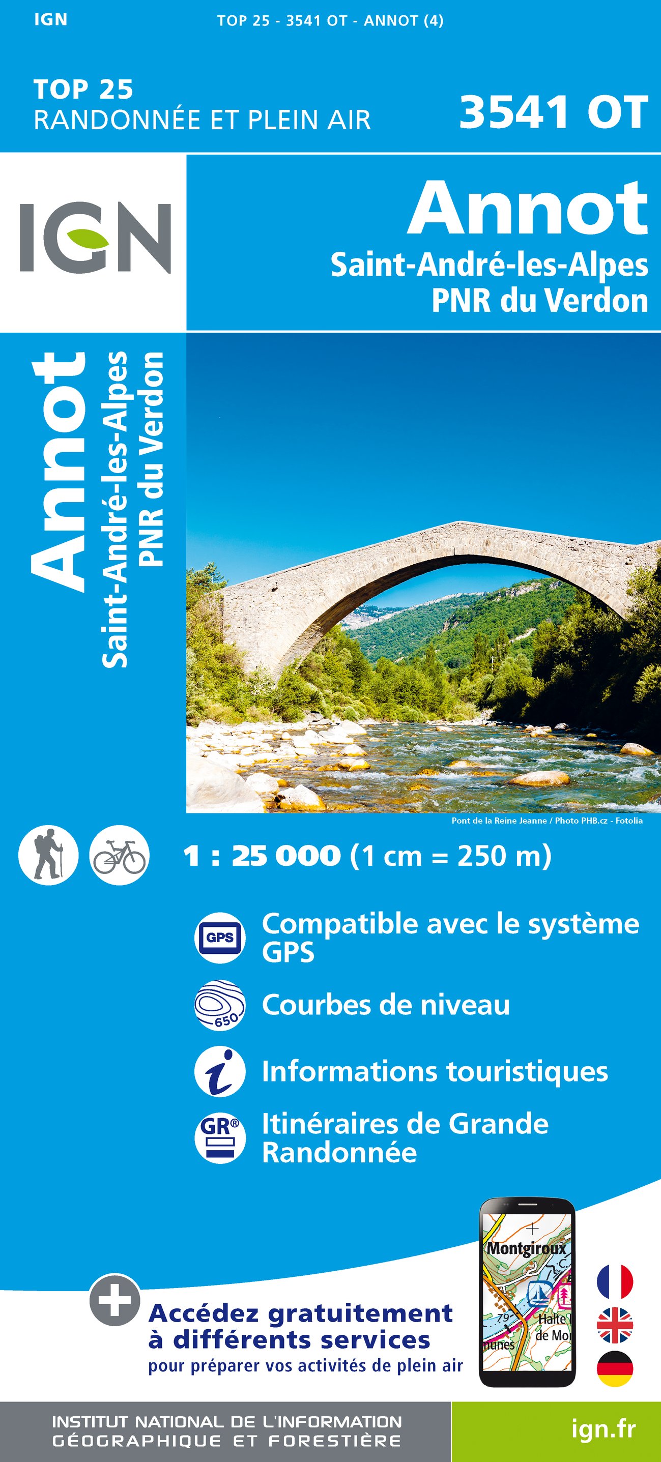
- Annot - Saint-Andre-les-Alpes - PNR du Verdon IGN 3541OT
- Topographic survey of France at 1:25,000 in IGN`s excellent TOP25 / Série Bleue series. All the maps are GPS compatible, with a 1km UTM grid plus latitude and longitude lines at 5’ intervals. Contours are at 5m intervals except for mountainous areas where the maps have contours at 10m intervals, vividly enhanced by hill shading and graphics for... Leer más
- Also available from:
- The Book Depository, United Kingdom
- De Zwerver, Netherlands


De Zwerver
Netherlands
Netherlands

Stanfords
United Kingdom
United Kingdom
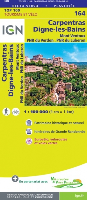
- Carpentras - Dignes-les-Bains - Mont Ventoux - PNR du Verdon - PNR du Luberon IGN TOP100 164
- Discover the new double-sided laminated edition of TOP100 road maps of France from the Institut Géographique National (IGN); exceptionally detailed, contoured road maps which include the cycle paths and greenways of the AF3V (French Association for the Development of Cycle Paths and Greenways), ideal for exploring the French countryside by car,... Leer más
- Also available from:
- De Zwerver, Netherlands
Más mapas…