
Weg des Buches
Descripción
- Name Weg des Buches
Select some tracks
☐Julius Kugy-Dreiländerweg E 27a, 18km
Enlaces
Datos
Informes
Guías y mapas
Hospedaje
Organizaciones
Operadores turísticos
GPS
Otro
Mapas

Stanfords
United Kingdom
United Kingdom
- Tennengebirge - Lammertal - Osternhorngruppe F&B WK392
- Tennengebirge - Lammertal - Osternhorngruppe area of the Austrian Alps presented at 1:50,000 in a series of contoured and GPS compatible outdoor leisure map from Freytag & Berndt with hiking and cycling routes, mountain huts, campsites and youth hostels, local bus stops, plus other tourist information. To see the list of currently available... Leer más
- Also available from:
- The Book Depository, United Kingdom

The Book Depository
United Kingdom
United Kingdom
- Tennengebirge - Lammertal - Osterhorngruppe Hiking + Leisure Map 1:50 000
- Tennengebirge - Lammertal - Osternhorngruppe area of the Austrian Alps presented at 1:50,000 in a series of contoured and GPS compatible outdoor leisure map from Freytag & Berndt with hiking and cycling routes, mountain huts, campsites and youth hostels, local bus stops, plus other tourist information. To see the list of currently available... Leer más

Stanfords
United Kingdom
United Kingdom
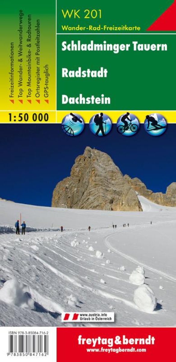
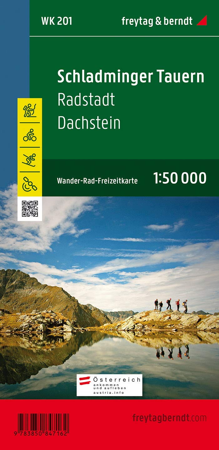
- Schadminger Tauern - Radstadt - Dachstein F&B WK201
- Schadminger Tauern - Radstadt - Dachstein - Schladming area of the Austrian Alps presented at 1:50,000 in a series of contoured and GPS compatible outdoor leisure map from Freytag & Berndt with hiking and cycling routes, mountain huts, campsites and youth hostels, local bus stops, plus other tourist information.To see the list of currently... Leer más
- Also available from:
- Bol.com, Netherlands
- Bol.com, Belgium
- De Zwerver, Netherlands
Bol.com
Netherlands
Netherlands
- FB WK201 Schladminger Tauern • Radstadt • Dachstein
- Fiets- en wandelkaart • schaal 1:50 000 • activiteiten gids • plaatsnamenregister met postcodes • fietspaden en mountainbikeroutes • vermelding GPS-punten • met ski- en langlaufroutes Leer más
Bol.com
Belgium
Belgium
- FB WK201 Schladminger Tauern • Radstadt • Dachstein
- Fiets- en wandelkaart • schaal 1:50 000 • activiteiten gids • plaatsnamenregister met postcodes • fietspaden en mountainbikeroutes • vermelding GPS-punten • met ski- en langlaufroutes Leer más
De Zwerver
Netherlands
Netherlands
- Wandelkaart Schladminger Tauern - Radstadt - Dachstein | Freytag & Berndt
- Schadminger Tauern - Radstadt - Dachstein - Schladming area of the Austrian Alps presented at 1:50,000 in a series of contoured and GPS compatible outdoor leisure map from Freytag & Berndt with hiking and cycling routes, mountain huts, campsites and youth hostels, local bus stops, plus other tourist information.To see the list of currently... Leer más

Bol.com
Netherlands
Netherlands
- FB WK082 Bad Aussee • Totes Gebirge • Bad Mitterndorf • Tauplitz
- Aufgrund der ;bersichtlichen und detailgetreuen, digitalen Kartographie sowie der ideal gew;hlten Ma;st;be sind freytag ; berndt Wanderkarten der perfekte Begleiter beim Wandern und Bergsteigen. Sie werden regelm;;ig ;berarbeitet und enthalten aktualisierte Informationen zu Wanderwegen, Rad- und Mountainbikestrecken, H;tten, Naturdenkm;lern,... Leer más
- Also available from:
- Bol.com, Belgium
Bol.com
Belgium
Belgium
- FB WK082 Bad Aussee • Totes Gebirge • Bad Mitterndorf • Tauplitz
- Aufgrund der ;bersichtlichen und detailgetreuen, digitalen Kartographie sowie der ideal gew;hlten Ma;st;be sind freytag ; berndt Wanderkarten der perfekte Begleiter beim Wandern und Bergsteigen. Sie werden regelm;;ig ;berarbeitet und enthalten aktualisierte Informationen zu Wanderwegen, Rad- und Mountainbikestrecken, H;tten, Naturdenkm;lern,... Leer más