
Gurktaler Alpen
Descripción

This mountain area is located south of the Niedere Tauern and north of Villach. It is a fairly large area, in winter easily accessible for skiers. The western range hosts the National Park Nockberge, a successful attempt to halt the further deterioration of the area. Hikers do favor these lovely and low-key (as compared to the Tauern) mountains. A favorite destination is the Grosse Königstuhl (2.336 m), which offers a beautiful view over the surrounding area. The highest mountain is in fact the Eisenhut (2.441 m).
Mapa

Senderos en región
Enlaces
Datos
Informes
Guías y mapas
Hospedaje
Organizaciones
Operadores turísticos
GPS
Otro
Mapas

Stanfords
United Kingdom
United Kingdom
- Central Carinthia - Gurktal Alps - Friesach - Feldkirchen - St. Veit an der Glan F&B WK231
- Hemmaland - Gurktal - Metnitztal - St. Veit a.d. Glan - Feldkirchen area of the Austrian Alps presented at 1:50,000 in a series of contoured and GPS compatible outdoor leisure map from Freytag & Berndt with hiking and cycling routes, mountain huts, campsites and youth hostels, local bus stops, plus other tourist information.To see the list of... Leer más
Bol.com
Netherlands
Netherlands
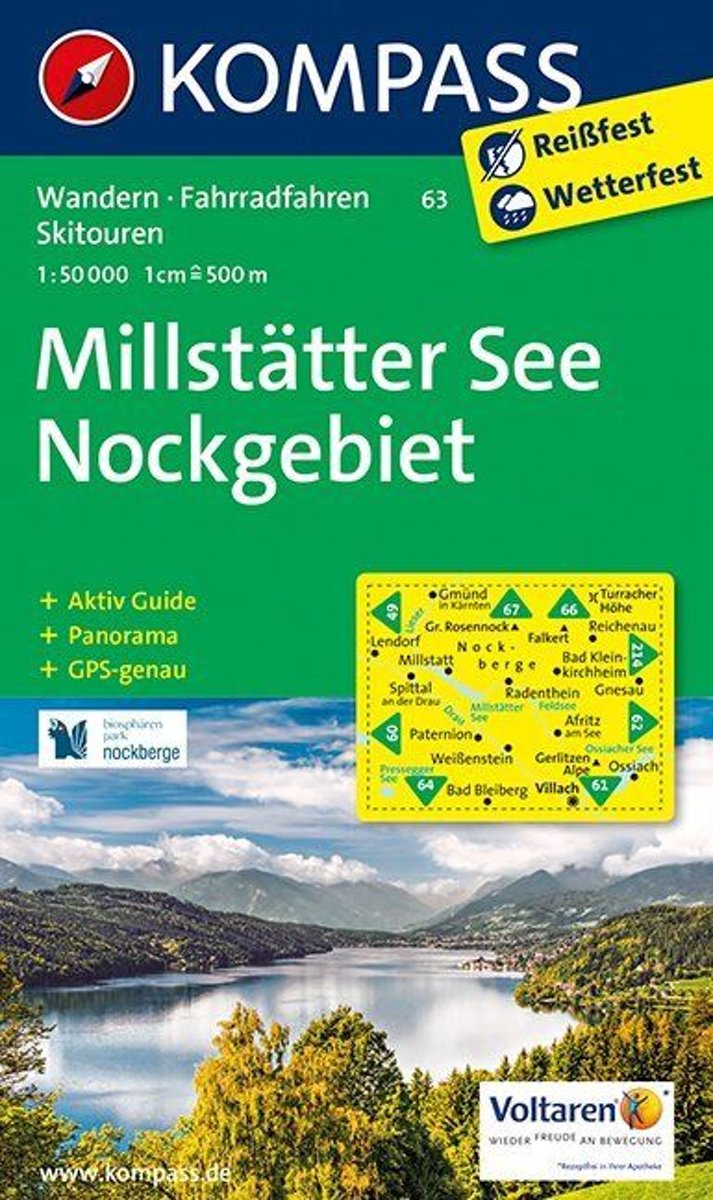
- Millstätter See, Nockgebiet WK63
- Deze Kompass wandelkaart, schaal 1:50 000, is ideaal om uw route uit te stippelen en om onderweg te gebruiken • naast de bekende bestemmingen, worden ook de minder bekende vermeld • openbaar vervoer bij begin- of eindpunt van een route aangegeven • eenvoudige wandelingen tot pittige (berg)tochten, voor getrainde en ongetrainde wandelaars • met... Leer más
- Also available from:
- Bol.com, Belgium
Bol.com
Belgium
Belgium
- Millstätter See, Nockgebiet WK63
- Deze Kompass wandelkaart, schaal 1:50 000, is ideaal om uw route uit te stippelen en om onderweg te gebruiken • naast de bekende bestemmingen, worden ook de minder bekende vermeld • openbaar vervoer bij begin- of eindpunt van een route aangegeven • eenvoudige wandelingen tot pittige (berg)tochten, voor getrainde en ongetrainde wandelaars • met... Leer más

Stanfords
United Kingdom
United Kingdom
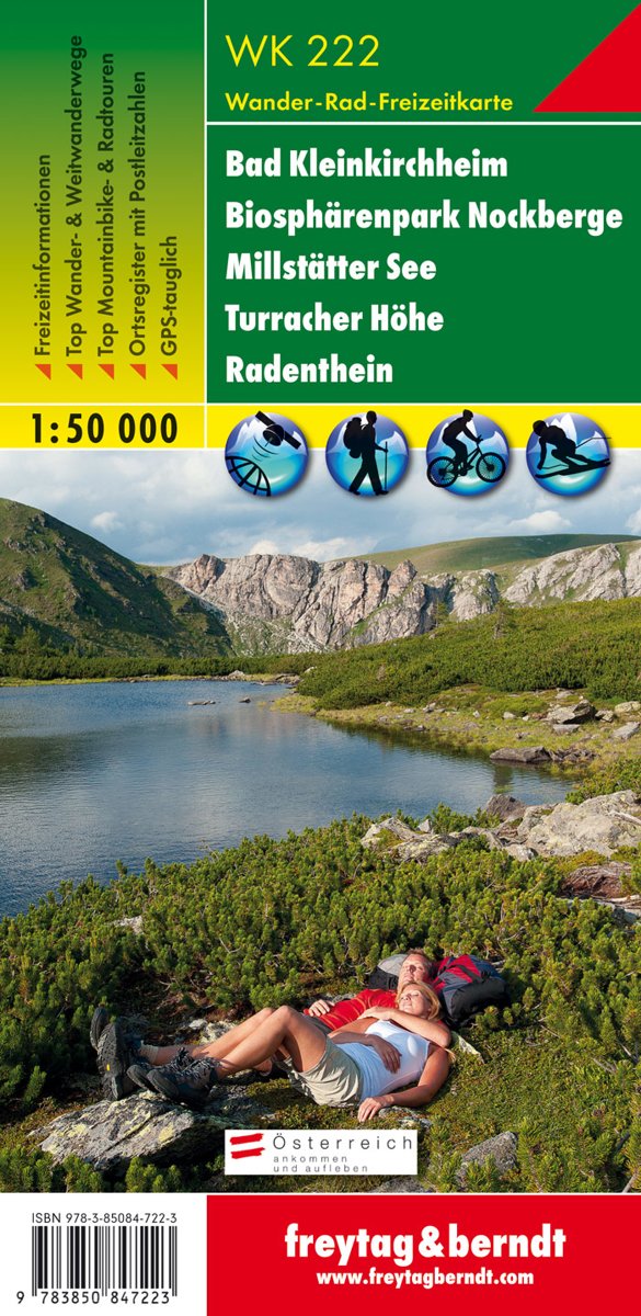
- Bad Kleinkirchheim - Biosphere Park Nockberge - Millstätter See - Turracher Höhe - Radenthein F&B WK222
- Bad Kleinkirchheim - Krems - Radentheim - Reichenau area of the Austrian Alps presented at 1:50,000 in a series of contoured and GPS compatible outdoor leisure map from Freytag & Berndt with hiking and cycling routes, mountain huts, campsites and youth hostels, local bus stops, plus other tourist information.To see the list of currently... Leer más
- Also available from:
- Bol.com, Netherlands
- Bol.com, Belgium
Bol.com
Netherlands
Netherlands
- FB WK222 Bad Kleinkirchheim • Nationalpark Nockberge • Millstätter See • Turracher Höhe • Radenthein
- Fiets- en wandelkaart • schaal 1:50 000 • activiteiten gids • plaatsnamenregister met postcodes • fietspaden en mountainbikeroutes • vermelding GPS-punten • met ski- en langlaufroutes Leer más
Bol.com
Belgium
Belgium
- FB WK222 Bad Kleinkirchheim • Nationalpark Nockberge • Millstätter See • Turracher Höhe • Radenthein
- Fiets- en wandelkaart • schaal 1:50 000 • activiteiten gids • plaatsnamenregister met postcodes • fietspaden en mountainbikeroutes • vermelding GPS-punten • met ski- en langlaufroutes Leer más