
Colorado Trail
Descripción
- Name Colorado Trail (CT)
- Distancia de sendero 805 km, 500 millas
- Duración en días 40 días
- Clasificación Traildino SW, Caminata extenuante, sendero de montaña
- Clasificación Travesía de refugios T2, Caminata de montaña
 Picking the Colorado Trail means you must be prepared for some tough alpine experience. The hike is 500 miles (805 km) long and you will easily need a month to complete it. You'll pass through the finest Colorado mountains, at high elevations, enjoying spectacular views.
This path is very popular. And what's more: thru-hiking is possible even for mortals like you and me with a job and a family. Use wintertime to improve your condition, so you can take off early summer for the real beef.
Select some tracks
☐Colorado Trail Seg. 14 Chalk Creek Trailhead to US-50, 32km
☐Colorado Trail Seg. 15 US-50 to Marshall Pass, 23km
☐Colorado Trail Seg. 9 Tennessee Pass to Hagerman Pass Road, 24km
☐Colorado Trail Seg. 11 Half Moon Creek to Clear Creek Road, 34km
☐Colorado Trail Seg. 12 Clear Creek to North Cottonwood Creek Road, 33km
☐Colorado Trail Seg. 13 North Cottonwood Creek Road to Chalk Creek Trailhead, 37km
☐Colorado Trail Seg. 10 Hagerman Pass Road to Halfmoon Creek, 18km
☐Colorado Trail, 779km
☐Cannonball Trail, 12km
☐Crossover Trail, 12km
☐CT Path, 0.7km
☐Centennial Trail, 195km
☐Corfu Trail, 156km
☐Corfu Trail Alternative, 7.2km
☐TeutoSchleifchen Canyon Tour, 5.3km
☐Кавказская тропа, 382km
☐Кавказская Тропа (Неразмеченная тропа), 33km
☐CDT in-xx Misc Old Route Alternates, 51km
☐Camino Torres - 01 Salamanca to Almeida, 132km
☐Camino Torres - 02 Caminho de D. Diego de Torres Villarroel, 257km
☐Camino Torres - 03 Caminho de Santiago Braga, 35km
☐Appalachian Trail - 10 CT, 81km
☐Maybrook Trailway (Putnam Trailway - CT Border), 2.2km
☐Maybrook Trailway (Putnam Trailway - CT Border), 7.2km
☐Chateau Trail, 3km
☐Cumberland Trail, 433km
Mapa


Enlaces
Datos
Informes
Guías y mapas
Hospedaje
Organizaciones
Operadores turísticos
GPS
Otro
Libros

The Book Depository
United Kingdom
United Kingdom
- Uphill Both Ways
- Hiking toward Happiness on the Colorado Trail Leer más

The Book Depository
United Kingdom
United Kingdom
- What We Owe to Ourselves
- a 500-mile hike on the Colorado Trail Leer más


The Book Depository
United Kingdom
United Kingdom
- Colorado Trail [map Pack Bundle]
- Topographic Map Guides; Trails Illustrated Maps Leer más


- Also available from:
- Bol.com, Netherlands
- Bol.com, Belgium
Bol.com
Netherlands
Netherlands
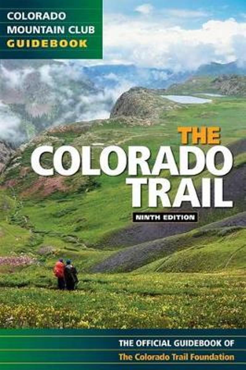
- The Colorado Trail
- Exploring all 468 miles of the Colorado Trail, this official guidebook is updated with the latest information on dozens of side trips, nearby towns, natural history, and safety considerations. Includes handy trip logs and full-color maps with GPS coordinates for each of the 28 segments. 86 color photos. Leer más
Bol.com
Belgium
Belgium
- The Colorado Trail
- Exploring all 468 miles of the Colorado Trail, this official guidebook is updated with the latest information on dozens of side trips, nearby towns, natural history, and safety considerations. Includes handy trip logs and full-color maps with GPS coordinates for each of the 28 segments. 86 color photos. Leer más

Bol.com
Netherlands
Netherlands
- Gravel Cycling
- Head out for adventure on the unpaved back roads of America with Nick Legans complete guide to gravel grinders and bikepacking!Gravel cycling is a glorious return to the purest roots of two-wheeled adventure. From farm roads and miners paths to the high passes of the Rockies and the Alps, gravel cycling and bikepacking will set you free to... Leer más
- Also available from:
- Bol.com, Belgium
Bol.com
Belgium
Belgium
- Gravel Cycling
- Head out for adventure on the unpaved back roads of America with Nick Legans complete guide to gravel grinders and bikepacking!Gravel cycling is a glorious return to the purest roots of two-wheeled adventure. From farm roads and miners paths to the high passes of the Rockies and the Alps, gravel cycling and bikepacking will set you free to... Leer más
Bol.com
Netherlands
Netherlands
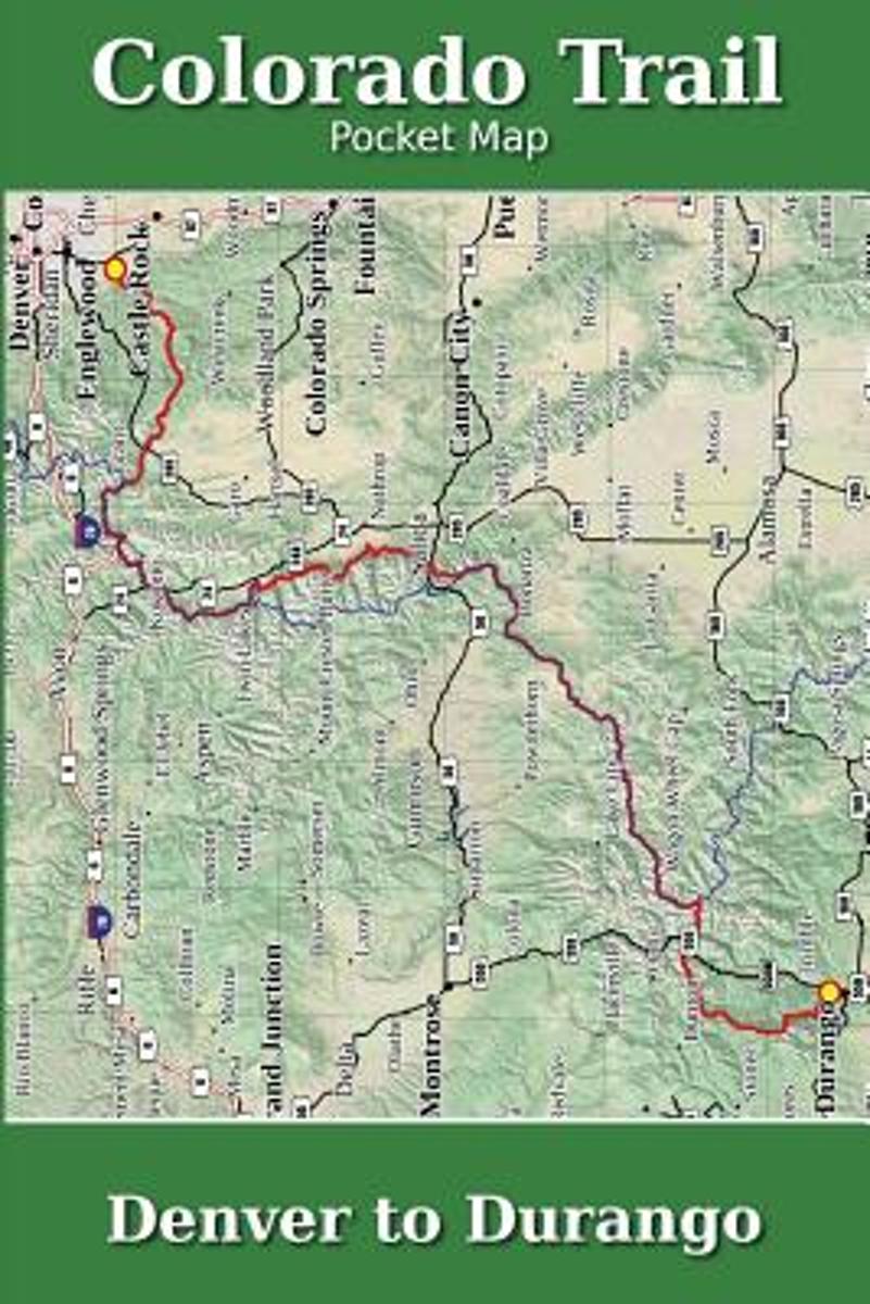
- Colorado Trail Pocket Map
- The Colorado Trail Pocket Map is a complete and concise set of topographic maps created with digitized base maps covering every step of the 482 mile trail from Denver, CO to Durango, CO.The land cover, hydrology and contour data used to create these maps has been collected within the last 5 years, presented in a completely uniform manner across... Leer más
- Also available from:
- Bol.com, Belgium
Bol.com
Belgium
Belgium
- Colorado Trail Pocket Map
- The Colorado Trail Pocket Map is a complete and concise set of topographic maps created with digitized base maps covering every step of the 482 mile trail from Denver, CO to Durango, CO.The land cover, hydrology and contour data used to create these maps has been collected within the last 5 years, presented in a completely uniform manner across... Leer más

Bol.com
Netherlands
Netherlands
- Of Moose and Men
- After landing the perfect job, Wellman drives to Maine where she spends five months living off grid, teaching Leave No Trace and confronting both men and moose in hilarious, behind the scene stories of what being a Ridgerunner on the Appalachian Trail really means. Known to the hiking community by her trail name 'Brawny', she has thru hiked the... Leer más
- Also available from:
- Bol.com, Belgium
Bol.com
Belgium
Belgium
- Of Moose and Men
- After landing the perfect job, Wellman drives to Maine where she spends five months living off grid, teaching Leave No Trace and confronting both men and moose in hilarious, behind the scene stories of what being a Ridgerunner on the Appalachian Trail really means. Known to the hiking community by her trail name 'Brawny', she has thru hiked the... Leer más
- Also available from:
- Bol.com, Belgium
Bol.com
Netherlands
Netherlands
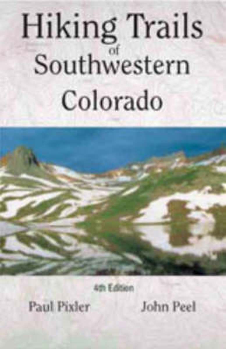
- Hiking Trails of Southwestern Colorado
- The first and second editions of this authoritative guide to Colorado's hiking paradise has been a best-seller among seasoned and beginning hikers for years.This completely revised third edition includes: seventy trips of varying length with corresponding maps, directions to conquer six of Colorado's fourteeners, and sixteen new maps providing... Leer más
- Also available from:
- Bol.com, Belgium
Bol.com
Belgium
Belgium
- Hiking Trails of Southwestern Colorado
- The first and second editions of this authoritative guide to Colorado's hiking paradise has been a best-seller among seasoned and beginning hikers for years.This completely revised third edition includes: seventy trips of varying length with corresponding maps, directions to conquer six of Colorado's fourteeners, and sixteen new maps providing... Leer más
- Also available from:
- Bol.com, Belgium
Mapas

Stanfords
United Kingdom
United Kingdom
- Baixa Ribagorça
- Topographic survey of Catalonia at 1:25,000 from the Institut Cartogràfic i Geològic de Catalunya, an attractive alternative to Spain’s national topographic survey at this scale, offering a much larger area per sheet with extensive tourist information and vivid presentation of vegetation and land use.These large, detailed maps have contours at... Leer más
Stanfords
United Kingdom
United Kingdom
- Oliana - del Rialb a la Ribera Salada
- Topographic survey of Catalonia at 1:25,000 from the Institut Cartogràfic i Geològic de Catalunya, an attractive alternative to Spain’s national topographic survey at this scale, offering a much larger area per sheet with extensive tourist information and vivid presentation of vegetation and land use.These large, detailed maps have contours at... Leer más
Stanfords
United Kingdom
United Kingdom
- Els Ports Natural Park: Vall-de-roures - Arnes
- Topographic survey of Catalonia at 1:25,000 from the Institut Cartogràfic i Geològic de Catalunya, an attractive alternative to Spain’s national topographic survey at this scale, offering a much larger area per sheet with extensive tourist information and vivid presentation of vegetation and land use.These large, detailed maps have contours at... Leer más
Stanfords
United Kingdom
United Kingdom
- Ripoll - Sant Joan de les Abadesses
- Topographic survey of Catalonia at 1:25,000 from the Institut Cartogràfic i Geològic de Catalunya, an attractive alternative to Spain’s national topographic survey at this scale, offering a much larger area per sheet with extensive tourist information and vivid presentation of vegetation and land use.These large, detailed maps have contours at... Leer más

Stanfords
United Kingdom
United Kingdom
- Cap de Creus Natural Park
- Topographic survey of Catalonia at 1:25,000 from the Institut Cartogràfic i Geològic de Catalunya, an attractive alternative to Spain’s national topographic survey at this scale, offering a much larger area per sheet with extensive tourist information and vivid presentation of vegetation and land use.These large, detailed maps have contours at... Leer más

Stanfords
United Kingdom
United Kingdom
- La Bisbal d`Emporda
- Topographic survey of Catalonia at 1:25,000 from the Institut Cartogràfic i Geològic de Catalunya, an attractive alternative to Spain’s national topographic survey at this scale, offering a much larger area per sheet with extensive tourist information and vivid presentation of vegetation and land use.These large, detailed maps have contours at... Leer más
Stanfords
United Kingdom
United Kingdom
- Montsec de Rúbies - Vall de Barcedana
- Topographic survey of Catalonia at 1:25,000 from the Institut Cartogràfic i Geològic de Catalunya, an attractive alternative to Spain’s national topographic survey at this scale, offering a much larger area per sheet with extensive tourist information and vivid presentation of vegetation and land use.These large, detailed maps have contours at... Leer más
Stanfords
United Kingdom
United Kingdom
- Organyà-Boumort - Serra de Taús
- Topographic survey of Catalonia at 1:25,000 from the Institut Cartogràfic i Geològic de Catalunya, an attractive alternative to Spain’s national topographic survey at this scale, offering a much larger area per sheet with extensive tourist information and vivid presentation of vegetation and land use.These large, detailed maps have contours at... Leer más
Stanfords
United Kingdom
United Kingdom
- Tremp - la Pobla de Segur - Serra de Boumort - Isona
- Topographic survey of Catalonia at 1:25,000 from the Institut Cartogràfic i Geològic de Catalunya, an attractive alternative to Spain’s national topographic survey at this scale, offering a much larger area per sheet with extensive tourist information and vivid presentation of vegetation and land use.These large, detailed maps have contours at... Leer más
Stanfords
United Kingdom
United Kingdom
- Móra d`Ebre
- Topographic survey of Catalonia at 1:25,000 from the Institut Cartogràfic i Geològic de Catalunya, an attractive alternative to Spain’s national topographic survey at this scale, offering a much larger area per sheet with extensive tourist information and vivid presentation of vegetation and land use.These large, detailed maps have contours at... Leer más

Stanfords
United Kingdom
United Kingdom
- Santa Coloma de Farners - Plana de la Selva
- Topographic survey of Catalonia at 1:25,000 from the Institut Cartogràfic i Geològic de Catalunya, an attractive alternative to Spain’s national topographic survey at this scale, offering a much larger area per sheet with extensive tourist information and vivid presentation of vegetation and land use.These large, detailed maps have contours at... Leer más

Stanfords
United Kingdom
United Kingdom
- Alt Pirineu Natural Park NE: Pica d’Estats - Vall de Cardos - Vall Ferrera
- Topographic survey of Catalonia at 1:25,000 from the Institut Cartogràfic i Geològic de Catalunya, an attractive alternative to Spain’s national topographic survey at this scale, offering a much larger area per sheet with extensive tourist information and vivid presentation of vegetation and land use.These large, detailed maps have contours at... Leer más
Stanfords
United Kingdom
United Kingdom
- Olot - Garrotxa NP Volcanic Zone
- Topographic survey of Catalonia at 1:25,000 from the Institut Cartogràfic i Geològic de Catalunya, an attractive alternative to Spain’s national topographic survey at this scale, offering a much larger area per sheet with extensive tourist information and vivid presentation of vegetation and land use.These large, detailed maps have contours at... Leer más
Stanfords
United Kingdom
United Kingdom
- Vall de la Llosa - el Baridà
- Topographic survey of Catalonia at 1:25,000 from the Institut Cartogràfic i Geològic de Catalunya, an attractive alternative to Spain’s national topographic survey at this scale, offering a much larger area per sheet with extensive tourist information and vivid presentation of vegetation and land use.These large, detailed maps have contours at... Leer más
Stanfords
United Kingdom
United Kingdom
- Pla de la Llitera - Riu de Farfanya
- Topographic survey of Catalonia at 1:25,000 from the Institut Cartogràfic i Geològic de Catalunya, an attractive alternative to Spain’s national topographic survey at this scale, offering a much larger area per sheet with extensive tourist information and vivid presentation of vegetation and land use.These large, detailed maps have contours at... Leer más