Surselva
Descripción
Enlaces
Datos
Informes
Guías y mapas
Hospedaje
Organizaciones
Operadores turísticos
GPS
Otro
Libros
Bol.com
Netherlands
Netherlands
- Surselva
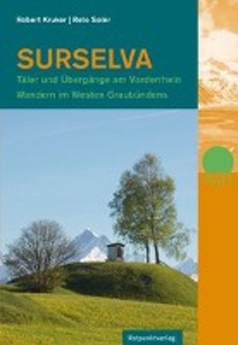
- Ob dem WaldDie Surselva, deutsch »ob dem Wald«, erstreckt sich vom bewaldeten Bergsturzgebiet bei Flims im Osten bis zum Oberalppass im Westen. Das Gebiet wird auch als Bündner Oberland oder Vorderrheintal bezeichnet.Beidseits des Haupttals mit den Terrassendörfern bieten Höhenwege großartige Ausblicke auf die Flanken, Taleinschnitte und... Leer más
- Also available from:
- Bol.com, Belgium
Bol.com
Belgium
Belgium
- Surselva
- Ob dem WaldDie Surselva, deutsch »ob dem Wald«, erstreckt sich vom bewaldeten Bergsturzgebiet bei Flims im Osten bis zum Oberalppass im Westen. Das Gebiet wird auch als Bündner Oberland oder Vorderrheintal bezeichnet.Beidseits des Haupttals mit den Terrassendörfern bieten Höhenwege großartige Ausblicke auf die Flanken, Taleinschnitte und... Leer más
De Zwerver
Netherlands
2022
Netherlands
2022
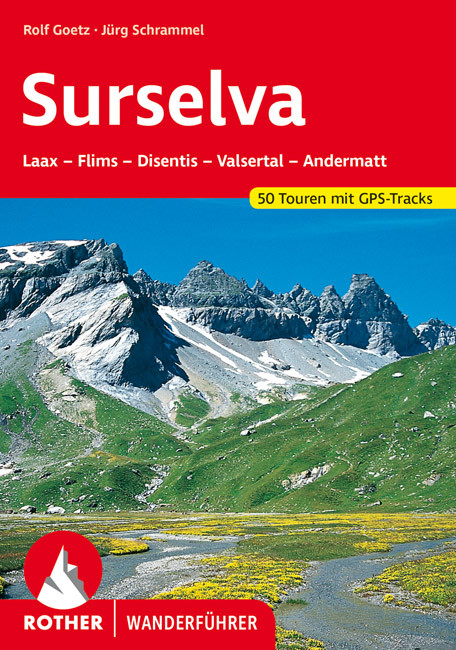
- Wandelgids Surselva | Rother Bergverlag
- Uitstekende wandelgids met een groot aantal dagtochten in dal en hooggebergte. Met praktische informatie en beperkt kaartmateriaal! Wandelingen in verschillende zwaarte weergegeven in rood/blauw/zwart. Die Surselva, auch bekannt unter den Bezeichnungen ",Bündner Oberland" oder "Vorderrheintal", ist außerhalb der Schweiz noch... Leer más
Mapas

Stanfords
United Kingdom
United Kingdom
- Surselva - Flims Mountain Bike Map
- Surselva - Flims area at 1:50,000 in a series of waterproof and tear-resistant, contoured mountain biking maps from Hallwag, each highlighting several circuits and providing route profiles, guidance on the difficulty and overall experience, etc. Each map in this series is printed on sturdy, waterproof and tear-resistant plastic, and uses the... Leer más

The Book Depository
United Kingdom
United Kingdom
- Andermatt / Surselva
- These laminated hiking maps at a scale of 1:40 000 are the ideal basis for planning a hiking tour.The precise cartography shows hiking trails including classification. Information on accommodation and restaurants, bus routes with stops, mountain railways, regional parks, sights and much more are included on the map.Thanks to the quality of the... Leer más

Stanfords
United Kingdom
United Kingdom
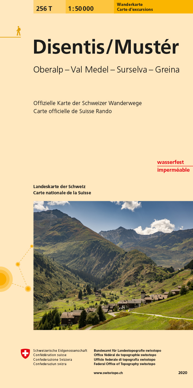
- Disentis / Mustér Swisstopo Hiking 256T
- Disentis/Mustér area, map No. 256T, at 1:50,000 in a special hiking edition of the country’s topographic survey, published by Swisstopo in cooperation with the Swiss Hiking Federation. Cartography, identical to the standard version of the survey, is highly regarded for its superb use of graphic relief and hill shading to provide an almost 3-D... Leer más
- Also available from:
- De Zwerver, Netherlands
De Zwerver
Netherlands
Netherlands
- Wandelkaart 256T Disentis/Mustér | Swisstopo
- Deze kaart is onderdeel van de 1:50.000 serie van de topografische kaarten van de Zwitserse topografische dienst, die in 78 delen het hele land bestrijkt. Deze kaarten zijn beroemd en gewaardeerd om het geweldige kleurgebruik voor reliëf en hoogte door schaduwwerking. De kaarten geven bijna een 3-D beeld van het landschap. De hoogtelijnen... Leer más

Stanfords
United Kingdom
United Kingdom
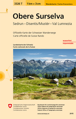
- Obere Surselva - Sedrun - Disentis/Munster - Val Lumnezia Swisstopo Hiking 3326T
- Obere Surselva: Sedrun - Disentis/Munster - Val Lumnezia area at 1:33,333 on light, waterproof and tear-resistant map No. 3323T published by Swisstopo in cooperation with the Swiss Hiking Federation. Cartography is the same as in Swisstopo’s 50K hiking maps, simply enlarged to 1:33,333 for extra clarity but without additional information. The... Leer más
- Also available from:
- De Zwerver, Netherlands
De Zwerver
Netherlands
Netherlands
- Wandelkaart - Topografische kaart 3326T Obere Surselva | Swisstopo
- Obere Surselva: Sedrun - Disentis/Munster - Val Lumnezia area at 1:33,333 on light, waterproof and tear-resistant map No. 3323T published by Swisstopo in cooperation with the Swiss Hiking Federation. Cartography is the same as in Swisstopo’s 50K hiking maps, simply enlarged to 1:33,333 for extra clarity but without additional information. The... Leer más
Más mapas…