
Grand Combin
Descripción
- Altitud 4314.00 m
Enlaces
Datos
Informes
Guías y mapas
Hospedaje
Organizaciones
Operadores turísticos
GPS
Otro
Libros

Stanfords
United Kingdom
2019
United Kingdom
2019
- Walkers`s Haute Route: Chamonix to Zermatt: The epic journey between Mont Blanc and the Matterhorn
- An incredible trek between the two most famous mountain towns in the Alps. Travelling from Chamonix in France to Zermatt in Switzerland, you will start at Mont Blanc and finish at the Matterhorn. On the way, pass the largest collection of snowy 4000m summits in the Alps: Mont Blanc, Grand Combin, the Weisshorn, the Zinalrothorn, the Dom, the... Leer más
- Also available from:
- The Book Depository, United Kingdom
- De Zwerver, Netherlands

The Book Depository
United Kingdom
2019
United Kingdom
2019
- Walkers's Haute Route: Chamonix to Zermatt
- The epic journey between Mont Blanc and the Matterhorn Leer más

De Zwerver
Netherlands
2019
Netherlands
2019
- Wandelgids Walker's Haute Route: Chamonix to Zermatt | Knife Edge Outdoor
- The epic journey between Mont Blanc and the Matterhorn Leer más

- Also available from:
- Bol.com, Netherlands
- Bol.com, Belgium
- De Zwerver, Netherlands
Bol.com
Netherlands
2014
Netherlands
2014
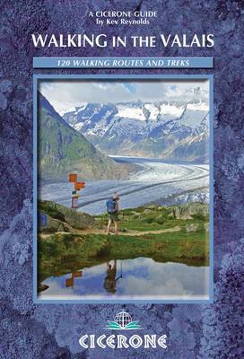
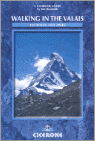
- Walking in the Valais
- The Pennine Alps in the Valais region of Switzerland contain more 4000m peaks than anywhere else in Western Europe and some of the greats: the Matterhorn, Monte Rosa, Dent Blanche and Grand Combin, all surrounded by idyllic valleys and hillsides dotted with chalets, hay barns and hardy little alpine flowers as well as pristine snowfields and... Leer más
Bol.com
Belgium
2014
Belgium
2014
- Walking in the Valais
- The Pennine Alps in the Valais region of Switzerland contain more 4000m peaks than anywhere else in Western Europe and some of the greats: the Matterhorn, Monte Rosa, Dent Blanche and Grand Combin, all surrounded by idyllic valleys and hillsides dotted with chalets, hay barns and hardy little alpine flowers as well as pristine snowfields and... Leer más
De Zwerver
Netherlands
2014
Netherlands
2014
- Wandelgids Walks In The Valais | Cicerone
- Comprehensive guidebook to the Valais, Switzerland, describing 111 day walks and 10 multi-day tours. Some of Europe's most dramatic mountains are found here, including the Matterhorn, Monte Rosa, Dent Blanche and Grand Combin. From easy valley walks to harder treks across rugged passes - routes for all abilities. Leer más
De Zwerver
Netherlands
2018
Netherlands
2018
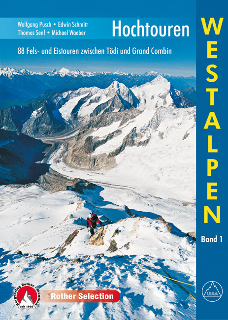
- Klimgids - Klettersteiggids Hochtouren Westalpen | Rother Bergverlag
- 88 Fels- und Eistouren zwischen Tödi und Grand Combin Rother Selection. 4., aktualisierte Auflage. Leer más
Bol.com
Netherlands
Netherlands
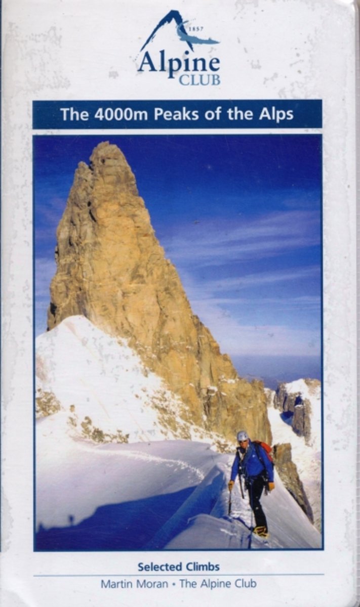
- The 4000m Peaks of the Alps - Selected Climbs
- The 4000m Peaks of the Alps provides a practical companion guide to the Alpine 4000ers with detailed description of every worthwhile route from Facile (F) to Difficile (sup) (D+/TD-). As well as the 50 major mountains, every significant subsidiary top is visited by one or more route. In total over 230 routes are described, ranging from... Leer más
- Also available from:
- Bol.com, Belgium
Bol.com
Belgium
Belgium
- The 4000m Peaks of the Alps - Selected Climbs
- The 4000m Peaks of the Alps provides a practical companion guide to the Alpine 4000ers with detailed description of every worthwhile route from Facile (F) to Difficile (sup) (D+/TD-). As well as the 50 major mountains, every significant subsidiary top is visited by one or more route. In total over 230 routes are described, ranging from... Leer más
Bol.com
Netherlands
Netherlands
- Walking In The Valais
- The Pennine Alps in the Valais region of Switzerland contain more 4000m peaks than anywhere else in Western Europe and some of the greats: the Matterhorn, Monte Rosa, Dent Blanche and Grand Combin, all surrounded by idyllic valleys and hillsides dotted with chalets, hay barns and hardy little alpine flowers as well as pristine snowfields and... Leer más
- Also available from:
- Bol.com, Belgium
Bol.com
Belgium
Belgium
- Walking In The Valais
- The Pennine Alps in the Valais region of Switzerland contain more 4000m peaks than anywhere else in Western Europe and some of the greats: the Matterhorn, Monte Rosa, Dent Blanche and Grand Combin, all surrounded by idyllic valleys and hillsides dotted with chalets, hay barns and hardy little alpine flowers as well as pristine snowfields and... Leer más
Mapas

Stanfords
United Kingdom
United Kingdom
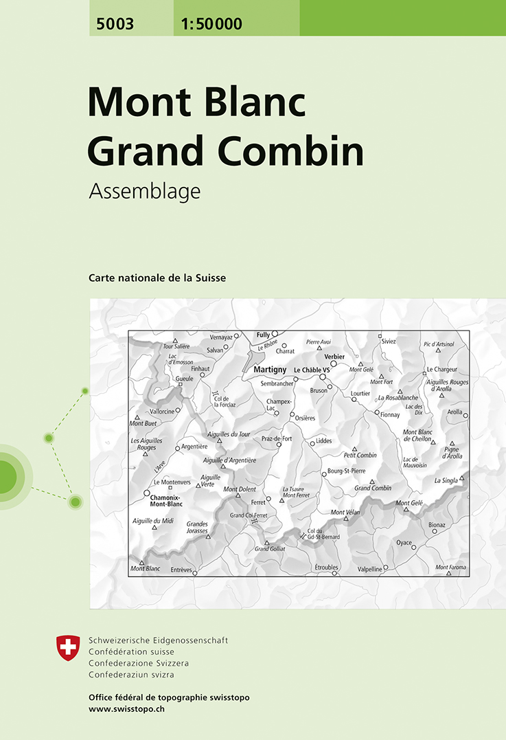
- Mont Blanc - Grand Combin Swisstopo 5003
- Mont Blanc - Grand Combin area, map No. 5003, in the standard topographic survey of Switzerland at 1:50,000 from Swisstopo, i.e. without the special overprint highlighting walking trails, local bus stops, etc, presented in Swisstopo’s hiking editions of the 50K survey. Coverage extends from Chamonix and the Mont Blanc massif eastwards to Arolla... Leer más
- Also available from:
- De Zwerver, Netherlands
De Zwerver
Netherlands
Netherlands
- Wandelkaart - Topografische kaart 5003 Mont Blanc Grand Combin | Swisstopo
- Mont Blanc - Grand Combin area, map No. 5003, in the standard topographic survey of Switzerland at 1:50,000 from Swisstopo, i.e. without the special overprint highlighting walking trails, local bus stops, etc, presented in Swisstopo Leer más

Stanfords
United Kingdom
United Kingdom
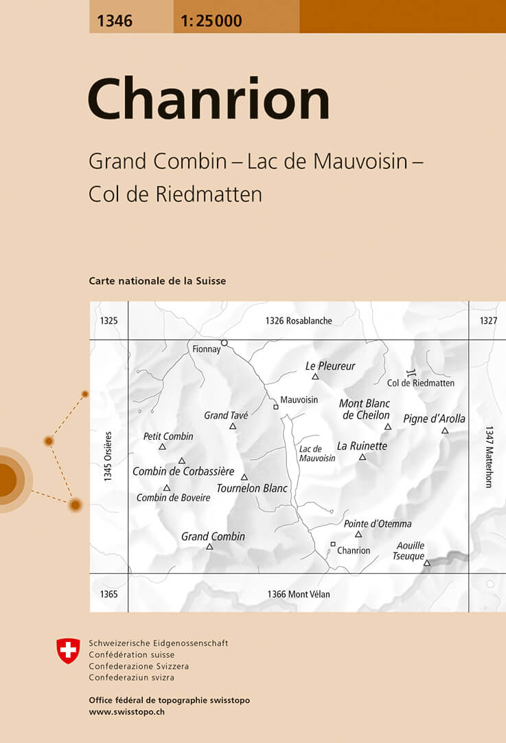
- Chanrion Swisstopo 1346
- Map No. 1346, Chanrion, in the topographic survey of Switzerland at 1:25,000 from Bundesamt für Landestopographie (swisstopo), covering the whole country on 247 small format sheets, with special larger maps published for popular regions including some titles now available in hiking versions.Highly regarded for their superb use of graphic relief... Leer más
- Also available from:
- De Zwerver, Netherlands
De Zwerver
Netherlands
Netherlands
- Wandelkaart - Topografische kaart 1346 Chanrion | Swisstopo
- Map No. 1346, Chanrion, in the topographic survey of Switzerland at 1:25,000 from Bundesamt f Leer más

Stanfords
United Kingdom
United Kingdom
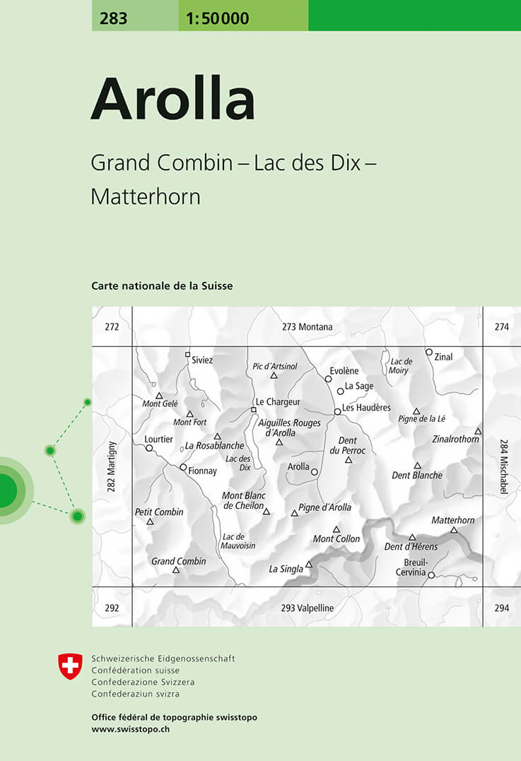
- Arolla Swisstopo 283
- Arolla, map No. 283, in the standard topographic survey of Switzerland at 1:50,000 from Swisstopo, i.e. without the special overprint highlighting walking trails, local bus stops, etc, presented in Swisstopo’s hiking editions of the 50K survey. The map covers the peaks from the Matterhorn to Grand Combin, and the southern part of Val d’Herens... Leer más
- Also available from:
- De Zwerver, Netherlands
De Zwerver
Netherlands
Netherlands
- Wandelkaart - Topografische kaart 283 Arolla | Swisstopo
- Arolla, map No. 283, in the standard topographic survey of Switzerland at 1:50,000 from Swisstopo, i.e. without the special overprint highlighting walking trails, local bus stops, etc, presented in Swisstopo Leer más

Stanfords
United Kingdom
United Kingdom
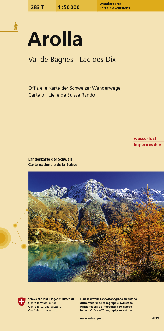
- Arolla Swisstopo Hiking 283T
- Arolla area, map No. 283T, at 1:50,000 in a special hiking edition of the country’s topographic survey, published by Swisstopo in cooperation with the Swiss Hiking Federation. The map covers the peaks from the Matterhorn to Grand Combin, and the southern part of Val d’Herens with Evolène and La Forclaz.Cartography, identical to the standard... Leer más
- Also available from:
- De Zwerver, Netherlands
De Zwerver
Netherlands
Netherlands
- Wandelkaart 283T Arolla | Swisstopo
- Arolla area, map No. 283T, at 1:50,000 in a special hiking edition of the country Leer más