
Thüringen
Descripción
Senderos en estado
- Barbarossaweg GPX
- E6GPX
- ElisabethpfadGPX
- Feengrotten-KyffhäuserwegGPX
- Hainleite-WanderwegGPX
- HerkuluswegGPX
- HochrhönerGPX
- Kelten ErlebniswegGPX
- KyffhäuserwegGPX
- LulluspfadGPX
- Main-WerrawegGPX
- Panoramaweg SchwarzatalGPX
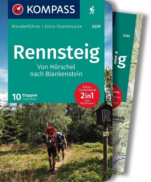
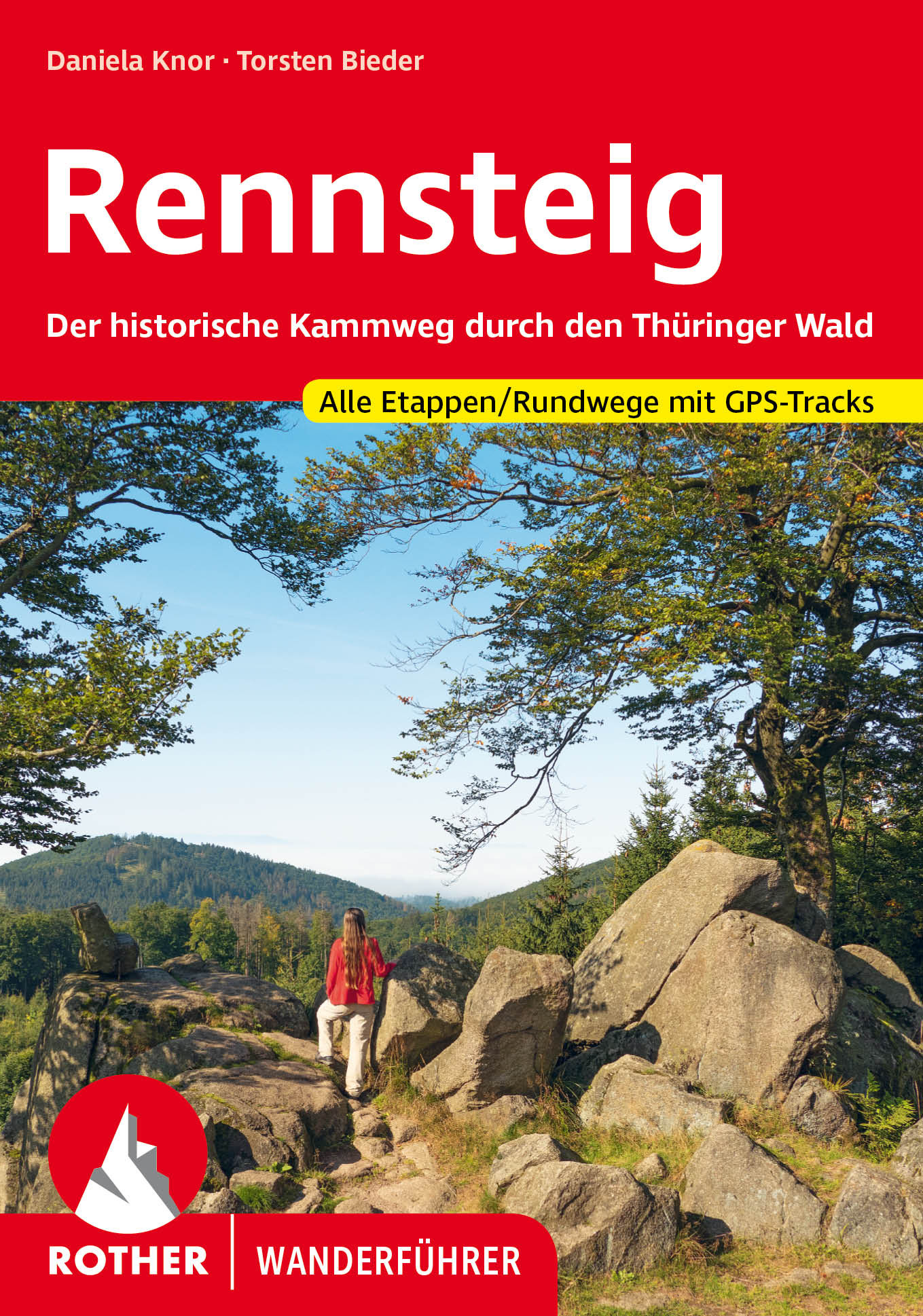
- RennsteigGPX
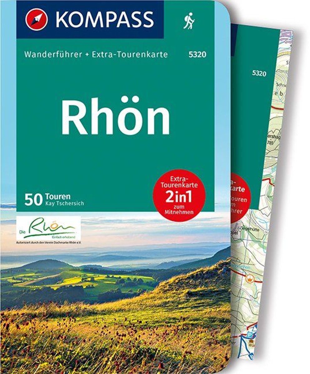
- Rhön HöhenwegGPX
- Saale-Orla-WegGPX
- Talsperrenweg Zeulenroda
- ThüringenwegGPX
- Vogtland PanoramawegGPX
- Wanderweg der Deutschen EinheitGPX
- Weg der FreundschaftGPX
Enlaces
Datos
Informes
Guías y mapas
Hospedaje
Organizaciones
Operadores turísticos
GPS
Otro
Libros

Stanfords
United Kingdom
United Kingdom
- Istria Kompass 238
- Istria at 1:75,000 on a double-sided, waterproof and tear-resistant, detailed contoured map from Kompass, with hiking and cycling routes, street plans of 10 main towns, plus tourist information. Coverage extends north beyond the Croatian border to include Trieste and the coast of Slovenia. Contours at 50m intervals and spot heights present the... Leer más

Stanfords
United Kingdom
United Kingdom
- Rhön Kompass 2-Map Set 460
- Rhön region of central Germany, straddling the borders between Bavaria, Hesse and Thuringia, in a set of two detailed, contoured and GPS compatible maps at 1:50,000 from Kompass with local and long-distance footpaths, cycling routes, accommodation, etc.KOMPASS HIKING & RECREATIONAL MAPS: this title is part of an extensive series covering... Leer más


De Zwerver
Netherlands
Netherlands
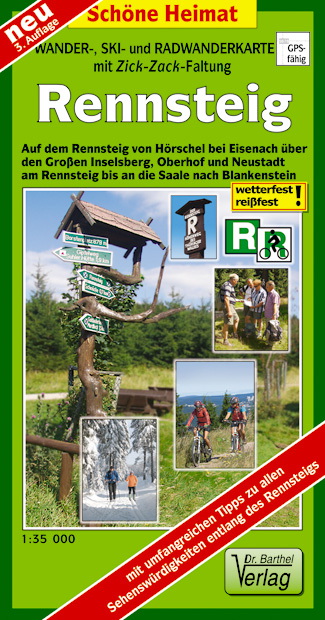
- Wandelkaart Rennsteig | Verlag Dr. Barthel
- Mit Straßennamen zur besseren Orientierung, farbig hervorgehobenen Ausflugszielen, Sehenswürdigkeiten der Umgebung in Text und Bild und alle regionalen und überregionalen Wander- und Radwanderwege sowie ausgewiesene Radtourenvorschläge mit Entfernungsangabe in Kilometern. Aus wetterfestem und reißfestem Material, mit wetterfester... Leer más
Bol.com
Netherlands
2020
Netherlands
2020
- WF5320 Rhön Kompass
- Destination:. Die Rhön ist ein faszinierend vielfältiges Mittelgebirge, das Teile der Bundesländer Bayern, Hessen und Thüringen zu einem Naturgroßraum vereint. Über die Hälfte des Gebietes ist als Biosphärenreservat ausgewiesen.. Zwischen Meiningen und Fulda gelegen, wird die Rhöner Region von den Flüssen Fulda, Fränkische Saale und Werra... Leer más
- Also available from:
- Bol.com, Belgium
Bol.com
Belgium
2020
Belgium
2020
- WF5320 Rhön Kompass
- Destination:. Die Rhön ist ein faszinierend vielfältiges Mittelgebirge, das Teile der Bundesländer Bayern, Hessen und Thüringen zu einem Naturgroßraum vereint. Über die Hälfte des Gebietes ist als Biosphärenreservat ausgewiesen.. Zwischen Meiningen und Fulda gelegen, wird die Rhöner Region von den Flüssen Fulda, Fränkische Saale und Werra... Leer más

De Zwerver
Netherlands
2017
Netherlands
2017
- Wandelgids Elisabethpfad von Eisenach nach Marburg | Conrad Stein Verlag
- Travel & Languages Travel (special interest) Guides (general) International Books Leer más

Bol.com
Netherlands
Netherlands
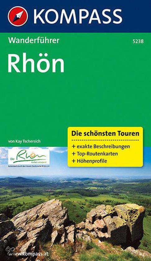
- WF5238 Rhön Kompass
- De Kompass wandelgids + kaart geeft een overzicht van alle wandelroutes in het gebied met nauwkeurige routeaanwijzingen en hoogteaanduidingen, De extra grote kaart, schaal 1:35 000, is ideaal om van te voren uw route uit te stippelen en om onderweg te gebruiken • naast de bekende bestemmingen, worden ook de minder bekende vermeld • openbaar... Leer más
- Also available from:
- Bol.com, Belgium
Bol.com
Belgium
Belgium
- WF5238 Rhön Kompass
- De Kompass wandelgids + kaart geeft een overzicht van alle wandelroutes in het gebied met nauwkeurige routeaanwijzingen en hoogteaanduidingen, De extra grote kaart, schaal 1:35 000, is ideaal om van te voren uw route uit te stippelen en om onderweg te gebruiken • naast de bekende bestemmingen, worden ook de minder bekende vermeld • openbaar... Leer más
Bol.com
Netherlands
Netherlands
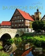
- Bayerische Rhön
- Die Mittelgebirgsregion im Grenzgebiet der Bundesländer Bayern, Hessen und Thüringen lockt insbesondere Naturliebhaber und Wanderer mit ihren einzigartigen Landschaften: Große Waldgebiete wechseln mit dunklen Hochmooren, klare Flüsse und einsame Hochflächen mit mächtigen Erhebungen wie dem Kreuzberg, dem heiligen Berg der Franken. Geschützt... Leer más
- Also available from:
- Bol.com, Belgium
Bol.com
Belgium
Belgium
- Bayerische Rhön
- Die Mittelgebirgsregion im Grenzgebiet der Bundesländer Bayern, Hessen und Thüringen lockt insbesondere Naturliebhaber und Wanderer mit ihren einzigartigen Landschaften: Große Waldgebiete wechseln mit dunklen Hochmooren, klare Flüsse und einsame Hochflächen mit mächtigen Erhebungen wie dem Kreuzberg, dem heiligen Berg der Franken. Geschützt... Leer más
De Zwerver
Netherlands
2010
Netherlands
2010
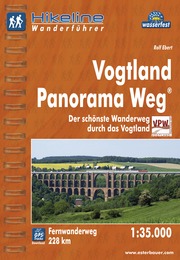
- Wandelgids Hikeline Vogtland Panorama Weg | Esterbauer
- Handzame gids met een goede beschrijving van een meerdaagse tocht in dit gebied. De gids is in spiraalbinding en elke pagina is op scheur- en watervast papier gedrukt. Daar is echt over nagedacht! Vogtland Panorama Weg Der Vogtland Panorama Weg® durchläuft im Gebiet Greiz das Thüringer Vogtland mit den tief eingeschnitten Tälern der Göltzsch... Leer más
Bol.com
Netherlands
Netherlands
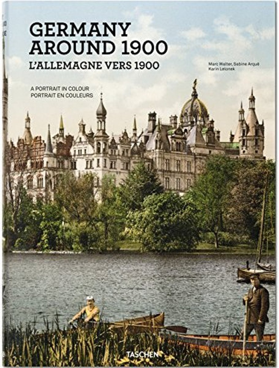
- Germany Around 1900. A Colour Portrait
- This book rediscovers the very first color photographic images of Germany and with them a precious period of turn-of-the-century peace and prosperity. The images, dated from between 1889 and 1911, derive from the private collection of Marc Walter and, like TASCHEN's bestselling American Odyssey, are further rare examples of the Photochrom... Leer más
- Also available from:
- Bol.com, Belgium
Bol.com
Belgium
Belgium
- Germany Around 1900. A Colour Portrait
- This book rediscovers the very first color photographic images of Germany and with them a precious period of turn-of-the-century peace and prosperity. The images, dated from between 1889 and 1911, derive from the private collection of Marc Walter and, like TASCHEN's bestselling American Odyssey, are further rare examples of the Photochrom... Leer más
Mapas

Stanfords
United Kingdom
United Kingdom
- The Hochrhon Kompass 462
- Die Hochrhön area of the natural park straddling the border between Bavaria and Hesse on a detailed, GPS compatible map at 1:25,000 from Kompass with local and long-distance footpaths, cycling routes, accommodation, etc, printed on durable, waterproof and tear-resistant synthetic paper.KOMPASS HIKING & RECREATIONAL MAPS: this title is part of... Leer más

Stanfords
United Kingdom
United Kingdom
- Rennsteig Cycle Route: Hörchel to Blankenstein (210km) Bikeline Map/Guide
- Rennsteig Cycle Route, a 210-km long cycle trail along the Thuringian Forest from Hörchel to Blankenstein, presented by the Verlag Esterbauer in a guide with maps at 1:50,000 showing the route and its variants. Extensive information is conveyed by symbols, indicating road surface, campsites and other accommodation, repair workshops,... Leer más

Stanfords
United Kingdom
2012
United Kingdom
2012
- Valia Kalda - Vasilitsa Anavasi 6.4
- Pindos: Valia Kalda - Vasilitsa area at 1:50,000in a series of waterproof and tear-resistant hiking maps from Anavasi with a UTM grid for GPS users. The map covers part of the northern Pindus highlands, extending northwards from Metsovo to well beyond Smixi, ski centre on the northern slpes of Mt. Vasilitsa. With Samarina on its western margin... Leer más

Stanfords
United Kingdom
United Kingdom
- Hesse Marco Polo Regional Map 6
- German state of Hesse on an indexed road map at 1:200,000 in the MairDumont’s Marco Polo series, prominently highlighting interesting locations and protected areas. A 95-page index booklet includes city centre street plans plus enlargements at 1:100,000 showing in greater detail the environs and road access to Darmstadt, Frankfurt, Gießen,... Leer más

Stanfords
United Kingdom
United Kingdom
- Central Rhodopes / Rodopi Geopsis 132
- Central Rhodopes Mountains on the border of north-eastern Greece and Bulgaria on a waterproof and tear-resistant, contoured and GPS compatible map from Geopsis highlighting nine recommended hiking trails and the local section of the E6 cross-Europe long-distance route. All place names are in both Greek and Latin alphabet, with several villages... Leer más

Stanfords
United Kingdom
United Kingdom
- Thuringian Forest East Kompass 813
- The eastern part of the Thuringian Forest on a detailed, GPS compatible map at 1:50,000 from Kompass with local and long-distance footpaths, cycling routes, accommodation, etc, printed on durable, waterproof and tear-resistant synthetic paper.KOMPASS HIKING & RECREATIONAL MAPS: this title is part of an extensive series covering Austria, much of... Leer más

Stanfords
United Kingdom
United Kingdom
- Bavaria North Marco Polo Regional Map 12
- Northern Bavaria on an indexed road map at 1:200,000 in the MairDumont’s Marco Polo series, prominently highlighting interesting locations and protected areas. A 111-page index booklet includes city centre street plans plus enlargements at 1:100,000 showing in greater detail the environs and road access to Bamberg, Bayreuth, Nuremberg,... Leer más

Stanfords
United Kingdom
United Kingdom
- Spessart - Main - Odenwald Cycling Map
- Spessart - Main – Odenwald on a waterproof, tear-resistant, GPS compatible cycling map at 1:75,000 from the ADFC (Allgemeiner Deutscher Fahrrad-Club - the official German cycling federation), in a series of maps with extensive overprint for long-distance and local cycling routes. GPS waypoints, route profiles, details of online links for... Leer más

Stanfords
United Kingdom
United Kingdom
- Eastern Rhodopes / Rodopi Geopsis 131
- Eastern Rhodopes Mountains on the border of north-eastern Greece and Bulgaria on a waterproof and tear-resistant, contoured and GPS compatible map from Geopsis highlighting nine recommended hiking trails and the local section of the E6 cross-Europe long-distance route. All place names are in both Greek and Latin alphabet, with several villages... Leer más

Stanfords
United Kingdom
United Kingdom
- Kocher and Jagst Cycling Map
- Kocher & Jagst area on a waterproof, tear-resistant, GPS compatible cycling map at 1:75,000 from the ADFC (Allgemeiner Deutscher Fahrrad-Club - the official German cycling federation), in a series of maps with extensive overprint for long-distance and local cycling routes. GPS waypoints, route profiles, details of online links for information... Leer más

Stanfords
United Kingdom
United Kingdom
- Western Rhodopes / Rodopi - Falakro Geopsis 133
- Central Rhodopes Mountains on the border of north-eastern Greece and Bulgaria on a waterproof and tear-resistant, contoured and GPS compatible map from Geopsis highlighting nine recommended hiking trails and the local section of the E6 cross-Europe long-distance route. All place names are in both Greek and Latin alphabet, with several villages... Leer más

Stanfords
United Kingdom
United Kingdom
- Istria K+F Outdoor Map
- Istria at 1:75,000 on a double-sided, durable, waterproof and tear-resistant, GPS compatible recreational map from Kümmerly + Frey, with street plans of Pula, Rovinj, Opatija, Umag, Novigrad, Porec and Vrsar. Topography is indicated by contours at 50m intervals, with relief shading and colouring for woodlands. Road network includes small local... Leer más
Stanfords
United Kingdom
United Kingdom
- Western Thuringian Forest Nature Park Kompass 812
- Western Thuringian Forest Nature Park (No. 812), a detailed, GPS compatible map at 1:50,000 from Kompass with local and long-distance footpaths, cycling routes, accommodation, etc, printed on durable, waterproof and tear-resistant synthetic paper.KOMPASS HIKING & RECREATIONAL MAPS:This title is part of an extensive series covering Austria, much... Leer más

Stanfords
United Kingdom
United Kingdom
- Coburg - Upper Maintal
- Coburg - Upper Maintal on a waterproof, tear-resistant, GPS compatible cycling map at 1:75,000 from the ADFC (Allgemeiner Deutscher Fahrrad-Club - the official German cycling federation), in a series of maps with extensive overprint for long-distance and local cycling routes. GPS waypoints, route profiles, details of online links for... Leer más

Stanfords
United Kingdom
United Kingdom
- Prespa - Vitsi - Voras Anavasi 6.2
- Prespa - Vitsi – Voras area of northern Greece at 1:50,000 on a light, waterproof and tear-resistant, GPS compatible, contoured map from Anavasi, with recommendations for three hiking trails and notes on the E4 and E6 cross-European trails. The map is double-sided; coverage in the west starts from the Prespa Lake on the border with Albania and... Leer más
- Also available from:
- The Book Depository, United Kingdom
- De Zwerver, Netherlands

The Book Depository
United Kingdom
United Kingdom
- Prespa - Vitsi - Voras
- Uitstekende topografische kaarten van een deel van Griekenland: zonder meer hele goede kaarten voor wandeltochten in een onbekend stuk Griekenland! Ze zijn gedrukt op scheurvast en watervast papier op een schaal van 1:50.000 met een UTM grid voor GPS gebruikers. Op de meeste kaarten is geven de hoogtelijnen een interval van 20m. aan. Met... Leer más

De Zwerver
Netherlands
Netherlands
- Wandelkaart 6.2 Prespa - Vitsi - Voras | Anavasi
- Uitstekende topografische kaarten van een deel van Griekenland: zonder meer hele goede kaarten voor wandeltochten in een onbekend stuk Griekenland! Ze zijn gedrukt op scheurvast en watervast papier op een schaal van 1:50.000 met een UTM grid voor GPS gebruikers. Op de meeste kaarten is geven de hoogtelijnen een interval van 20m. aan. Met... Leer más