
Ostweg
Descripción
- Name Ostweg
- Distancia de sendero 245 km, 152 millas
- Duración en días 12 días
- Inicio de sendero Pforzheim
- Clasificación Traildino MW, Caminata moderada, sendero de mochileros
- Clasificación Travesía de refugios T1, Caminata


Ostweg, Pforzheim – Schaffhausen, 245 km, 12 days
The third of the classic long distance hiking trails in the Black Forest is the Ostweg, the East Way. The eastern side of the Black Forest is somewhat less prominent. Hills and farmland alternate. The climate is influenced by the Danube valley, which you will cross at a certain point. The trail alos passes the source of the Neckar. On the other side of the Danube river lies the Swabian Jura, another attractive walking region.
Of course this is a beautiful walk, like the other classic trails of the Schwarzwald: well kept, well-chosen paths, well marked. And the Black Forest offers plenty accommodation options.
Enlaces
Datos
Informes
Guías y mapas
Hospedaje
Organizaciones
Operadores turísticos
GPS
Otro
Libros
De Zwerver
Netherlands
2021
Netherlands
2021
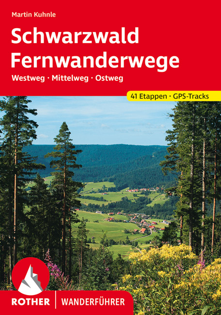
- Wandelgids Fernwanderwege Schwarzwald (Zwarte Woud) Westweg · Mittelweg · Ostweg | Rother Bergverlag
- 41 Höhenprofile, 41 Wanderkärtchen im Maßstab 1:100.000, 2 Übersichtskarten Auf der Straße nach Süden",: Die drei bekanntesten und längsten Fernwanderwege des Schwarzwaldes - Westweg, Mittelweg und Ostweg - beginnen alle in der Schmuck- und Goldstadt Pforzheim am nördlichen Rand des Schwarzwalds und führen nach Süden bis an die Schweizer... Leer más
Bol.com
Netherlands
2017
Netherlands
2017
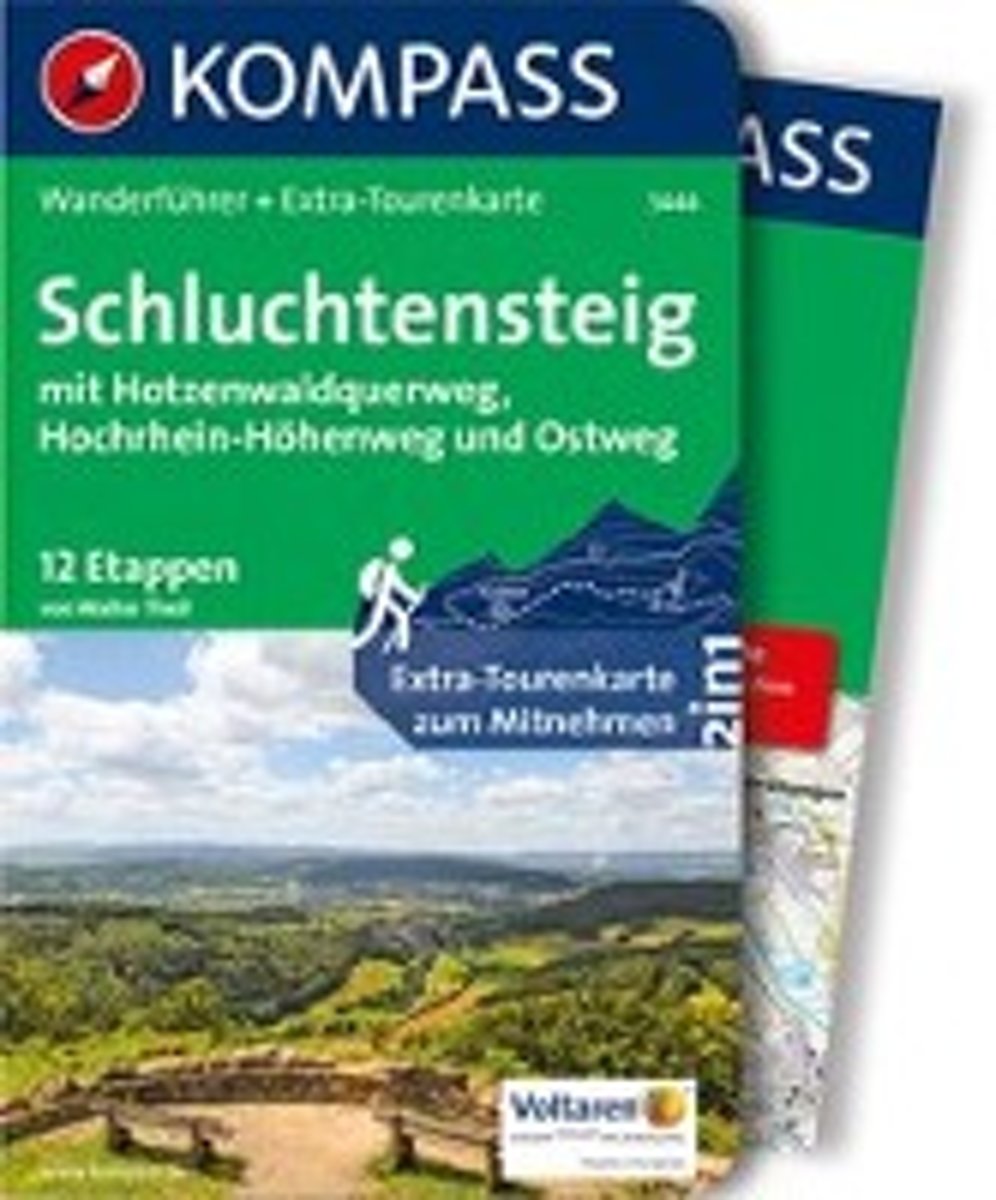
- WF5444 Schluchtensteig, mit Hotzenwaldquerweg, Hochrhein-Höhenweg und Ostweg Kompass
- De Kompass wandelgids + kaart geeft een overzicht van alle wandelroutes in het gebied met nauwkeurige routeaanwijzingen en hoogteaanduidingen, De extra grote kaart, schaal 1:35 000, is ideaal om van te voren uw route uit te stippelen en om onderweg te gebruiken; naast de bekende bestemmingen, worden ook de minder bekende vermeld; openbaar... Leer más
- Also available from:
- Bol.com, Belgium
Bol.com
Belgium
2017
Belgium
2017
- WF5444 Schluchtensteig, mit Hotzenwaldquerweg, Hochrhein-Höhenweg und Ostweg Kompass
- De Kompass wandelgids + kaart geeft een overzicht van alle wandelroutes in het gebied met nauwkeurige routeaanwijzingen en hoogteaanduidingen, De extra grote kaart, schaal 1:35 000, is ideaal om van te voren uw route uit te stippelen en om onderweg te gebruiken; naast de bekende bestemmingen, worden ook de minder bekende vermeld; openbaar... Leer más