
GR10 Senderos de la Miel
Descripción
- Name GR10 Senderos de la Miel (GR10)
- Distancia de sendero 1,168 km, 726 millas
- Duración en días 65 días
- Inicio de sendero Puçol
- Fin de sendero Límite con Portugal
- Clasificación Traildino SW, Caminata extenuante, sendero de montaña
- Clasificación Travesía de refugios T2, Caminata de montaña


10
Puçol - Límite con Portugal, Senderos de la Miel, GR 10. 1168 km, 65 stages. País Valencià, Aragón, Castilla la Mancha, Madrid and Castilla-León, from Mediteranean to Portugal.
Select some tracks
☐.[GR 10] De Valencia a Lisboa (Etapa desde el Puerto de la Fuenfría a San Lorenzo del Escorial), 32km
☐[GR 10] De Valencia a Lisboa (Variante), 2.3km
☐GR 10.4, 44km
☐GR 10-F, 12km
☐GR 10 -variante, 20km
☐GruBrìa Dorsale GR10 Valassina (Seregno-Monza), 10km
☐[GR 10] De Valencia a Lisboa (Etapa Abejuela - Arcos de las Salinas), 20km
☐[GR 10] De Valencia a Lisboa (Etapa Arcos de las Salinas - Camarena de la Sierra), 9.6km
☐[GR 10] De Valencia a Lisboa (Etapa Camarena de la Sierra - Riodeva), 16km
☐[GR 10] De Valencia a Lisboa (Etapa Riodeva - Villel), 19km
Mapa

Enlaces
Datos
Informes
Guías y mapas
Hospedaje
Organizaciones
Operadores turísticos
GPS
Otro
Libros

Stanfords
United Kingdom
2015
United Kingdom
2015
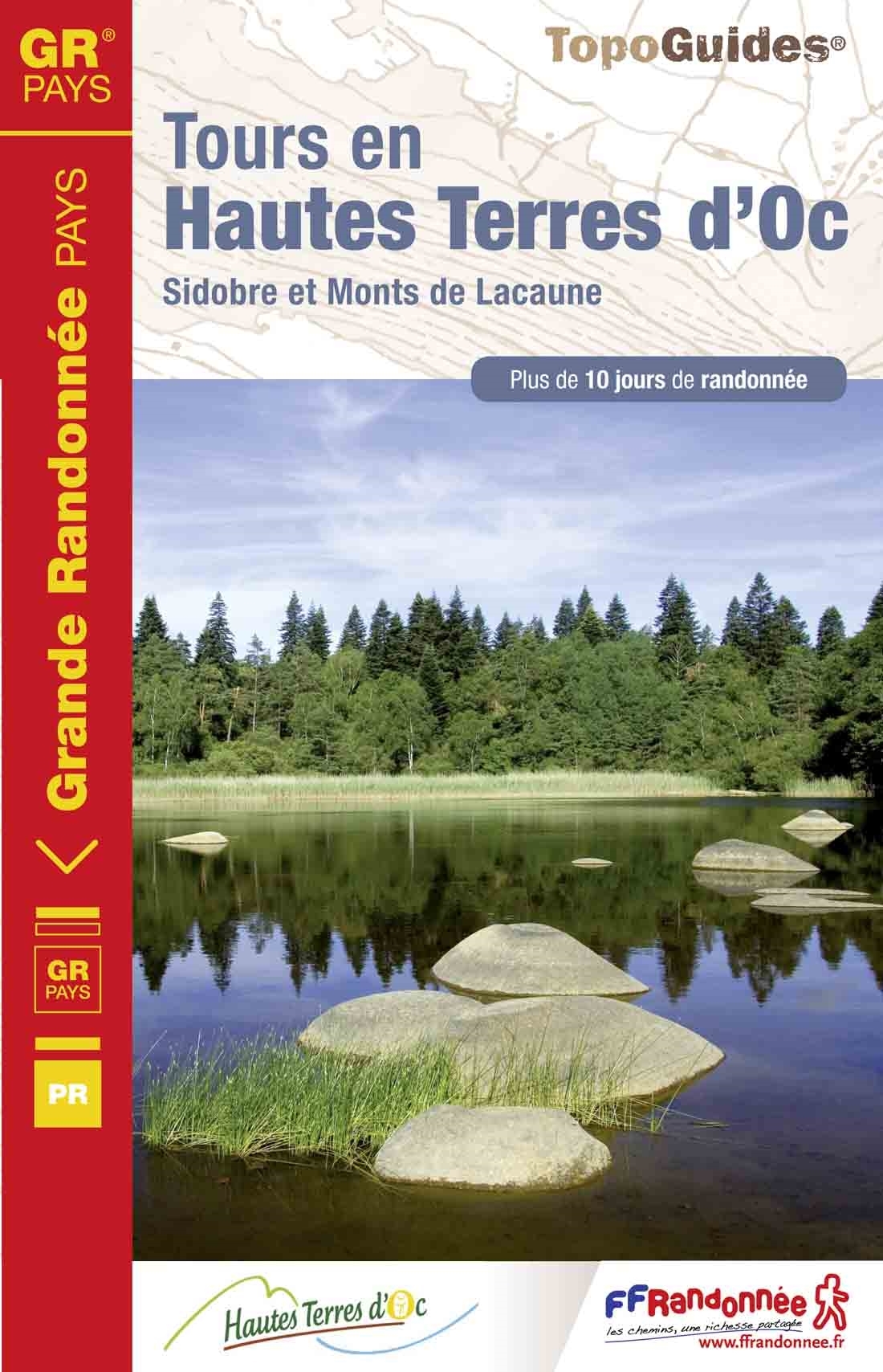
- GR de Pays: Tours en Hautes Terres d`Oc FFRP Topo-guide No. 811
- Tours en Hautes Terres d`Oc, FFRP topoguide Ref. No. 811, covering a 230km circular route in the Parc Naturel Régional du Haut-Languedoc, with additional descriptions of 14 day walks in the region. Current edition of this title was published in July 2015.ABOUT THE FFRP (Fédération française de la randonnée pédestre) TOPOGUIDES: published in a... Leer más
- Also available from:
- De Zwerver, Netherlands
De Zwerver
Netherlands
2015
Netherlands
2015
- Wandelgids 811 Tours en Hautes Terres d'Oc | FFRP
- Uitstekende routegids met gedetailleerde kaarten en een routebeschrijving. Fout lopen wordt op deze manier wel erg moeilijk. Met symbolen is weergegeven welke voorzieningen (openbaar vervoer / winkels / overnachtingen) er zijn langs of bij de route. Een nadeel is dat de daadwerkelijke adressen dan weer niet altijd genoemd worden. Alle gidsen... Leer más

Stanfords
United Kingdom
United Kingdom
- GR3: Les Monts du Forez FFRP Topo-guide No. 334
- Les Monts du Forez, FFRP topoguide Ref. No. 334, covering in all 259kms along the GR3 and its variant, with additional descriptions of 21 day walks in the region. Current edition of this title was published in April 2016.ABOUT THE FFRP (Fédération française de la randonnée pédestre) TOPOGUIDES: published in a handy A5 paperback format, the... Leer más

Stanfords
United Kingdom
2018
United Kingdom
2018
- Val d`Azun à pied ST10
- Val d`Azun à pied, FFRP topo-guide Ref. No. ST10, with 18 day walks of varying length and difficulty in the French Pyrenees south-west of Argelès-Gazost, plus a tour which includes part of the GR10 long-distance footpaths. Each walk is presented on a separate colour extract from IGN’s topographic survey of France at 1:25,000 and/or 1:50,000,... Leer más

Stanfords
United Kingdom
2015
United Kingdom
2015
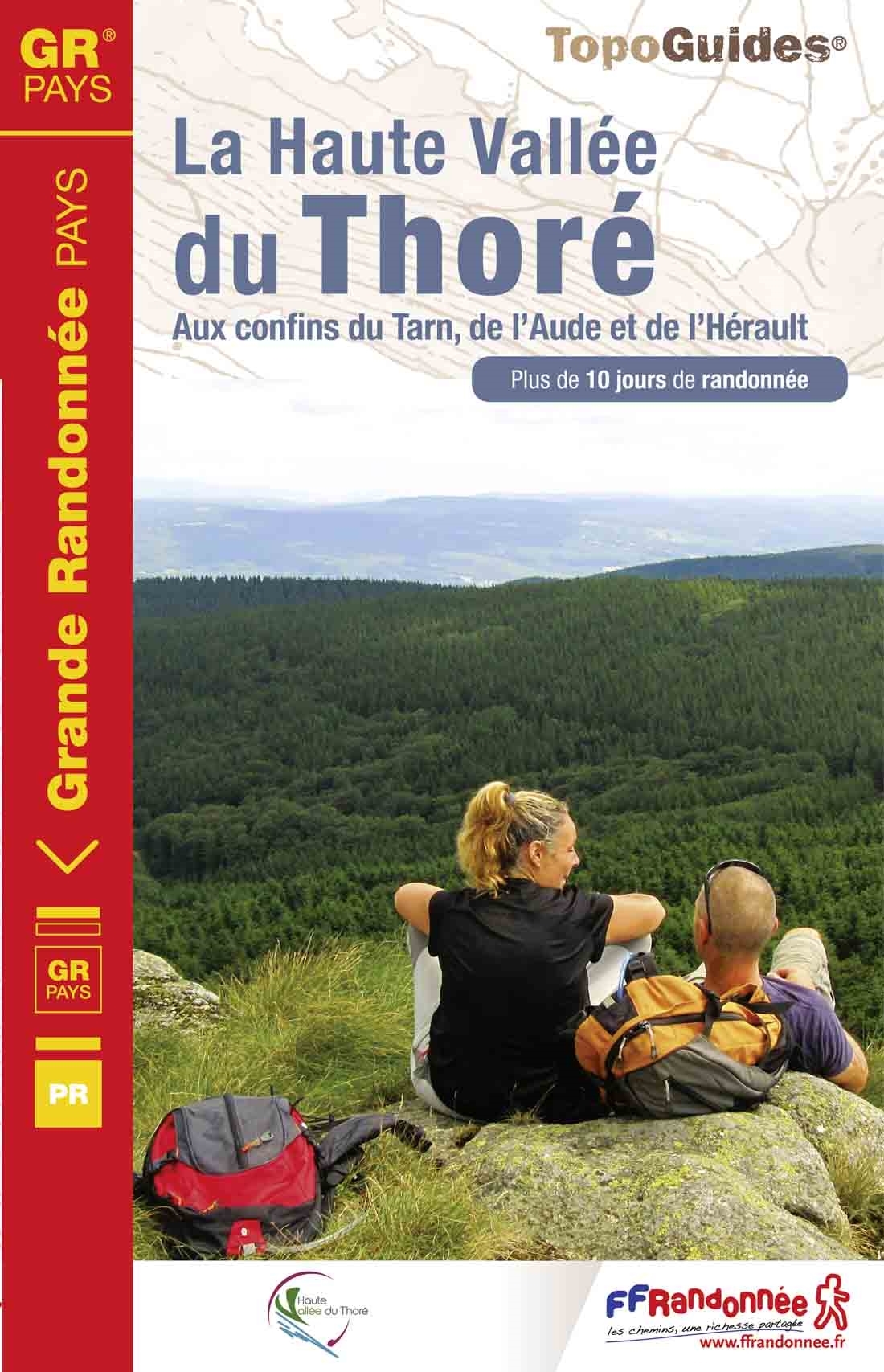
- GRP: La Haute Vallée du Thoré FFRP Topo-guide No. 812
- La Haute Vallée du Thoré, FFRP topoguide Ref. no. 812, covering an 82 km circuit in the Parc naturel régional du Haut-Languedoc, plus six day walks in the area. Current edition of this title was published in May 2015.ABOUT THE FFRP (Fédération française de la randonnée pédestre) TOPOGUIDES: published in a handy A5 paperback format, the guides... Leer más
- Also available from:
- De Zwerver, Netherlands
De Zwerver
Netherlands
2015
Netherlands
2015
- Wandelgids 812 La Haute Vallée du Thoré | FFRP
- Fout lopen wordt op deze manier wel erg moeilijk. Met symbolen is weergegeven welke voorzieningen (openbaar vervoer / winkels / overnachtingen) er zijn langs of bij de route. Een nadeel is dat de daadwerkelijke adressen dan weer niet altijd genoemd worden. Alle gidsen bevatten een door ons toegevoegde uitgebreide frans nederlandse... Leer más

Stanfords
United Kingdom
2020
United Kingdom
2020
- Tour du Larzac, Templier - Hospitalier - Entre causses et vallées GR71C/GR71D
- Tour du Larzac - Templier et Hospitalier, FFRP topoguide Ref. No. 710, covering the 195kms of hiking circuits along the GR71C and GR71D south of Millau in the Causse du Larzac, plus 13 local day walks. Current edition of this title was published in December 2015.ABOUT THE FFRP (Fédération française de la randonnée pédestre) TOPOGUIDES:... Leer más
Stanfords
United Kingdom
2020
United Kingdom
2020
- Les Abers - le Chemin de Phares GR34/GR34F
- Les Abers - le chemin de phares, FFRP topoguide Ref. no. 347, covering the coastal route in north-western Brittany between Morlaix, Brest, and le Fau, plus 4 walks on the Ile d`Ouessant. Current edition of this title was published in September 2017.Between Morlaix and Brest, where the sea has dug deep furrows in the land. More than 20 days of... Leer más

Stanfords
United Kingdom
2013
United Kingdom
2013
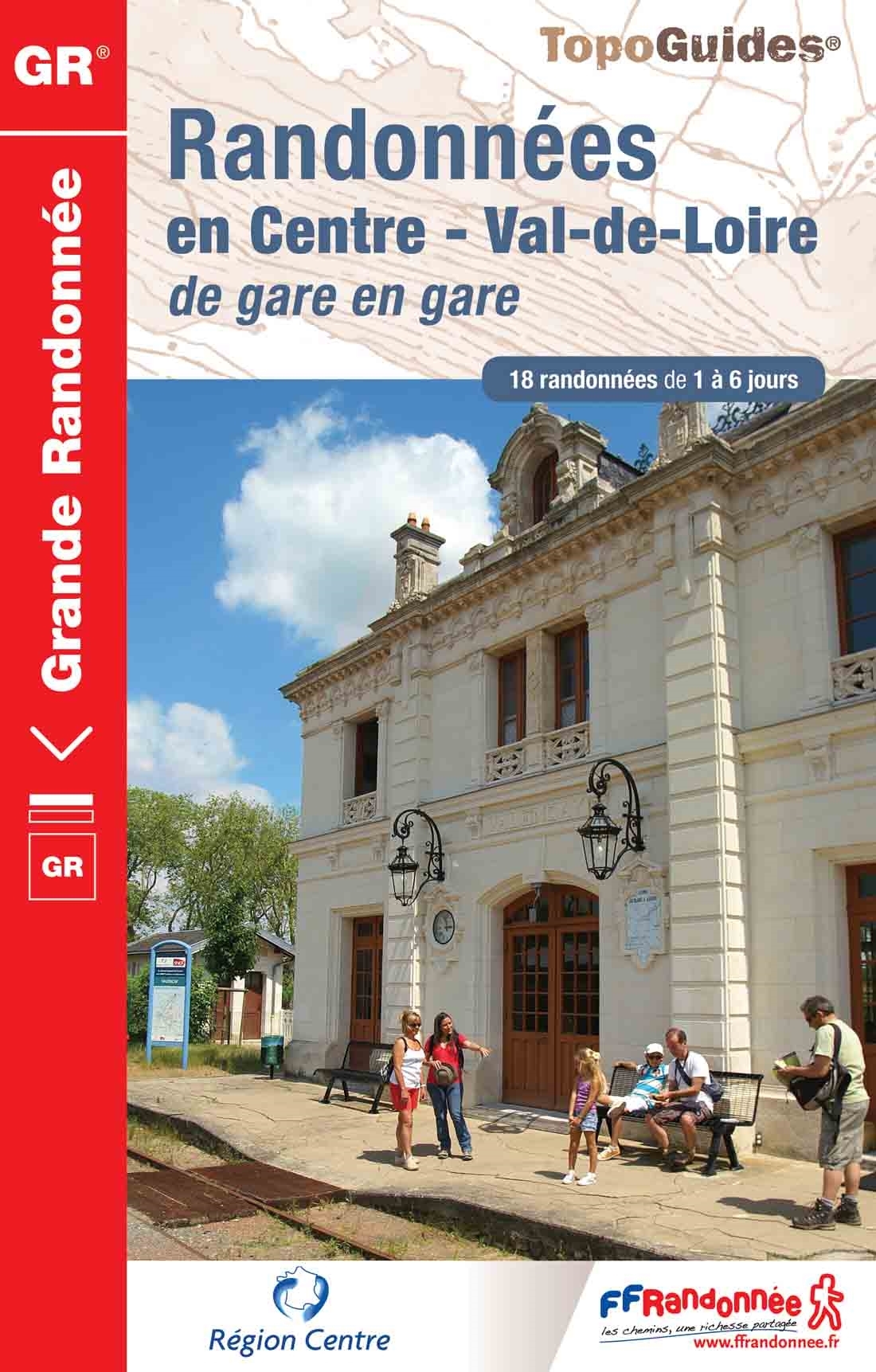
- GR300: Randonnées en Centre - Val-de-Loire de gare en gare FFRP Topo-guide No. 300
- Randonnées en Centre - Val-de-Loire de gare en gare, FFRP topoguide Ref. no. 300, with 18 routes from one to six days long linking SNCF railway stations. Six of the routes can covered in one day; the longest one is a 93km walk from Bourges to Sancerre. The walks link some of France’s most interesting historical locations: Maintenon and... Leer más
- Also available from:
- De Zwerver, Netherlands
De Zwerver
Netherlands
2013
Netherlands
2013
- Wandelgids 300 Randonnées en Centre Val-de-Loire | FFRP
- Guide FFRandonnée Randonnées en Centre - Val-de-Loire de gare en gare. GR.Nouveauté 2013 : 18 randonnées de 1 à 6 jours au départ des gares. La crème de la région Centre sans émission de gaz carbonique !Le topo-guide reprend des tronçons de GR® déjà... Leer más

Stanfords
United Kingdom
2015
United Kingdom
2015
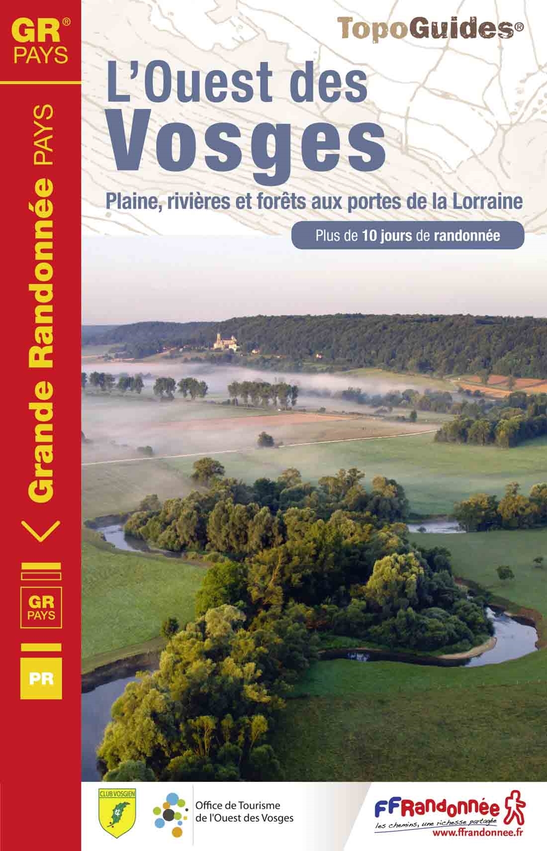
- GR de Pays: Ouest des Vosges FFRP Topo-guide No. 881
- Ouest des Vosges, FFRP topoguide Ref. No. 881, covering a hiking circuit from Neufchâtel plus 18 local walks in the western part of the department of Vosges, Current edition of this title was published in July 2015. PLEASE NOTE: the area covered by this guide is not in the Vosges Mountains.ABOUT THE FFRP (Fédération française de la randonnée... Leer más
- Also available from:
- De Zwerver, Netherlands
De Zwerver
Netherlands
2015
Netherlands
2015
- Wandelgids 881 L'Ouest des Vosges | FFRP
- Guide FFRandonnée l'ouest des Vosges .1 GR® de Pays et 18 balades.Dans l'ouest des Vosges, l'horizon s'adoucit, les résideux cèdent le pas aux feuillus et les nombreux cours d'eau entaillent joliment ce pa... Leer más
Stanfords
United Kingdom
2019
United Kingdom
2019
- A Travers la Montagne Corse - PNR de Corse GR20
- À Travers la Montagne Corse, FFRP topoguide Ref. No. 067, covering one of Europe’s most popular and demanding long-distance hiking walking trails, the 200km/125 miles-long high-level route across the mountains of Corsica. Current edition of this title was published in March 2014.To see other titles in this series please click on the series... Leer más
Stanfords
United Kingdom
2021
United Kingdom
2021
- Tour de l`Oisans et des Ecrins - Parc National des Ecrins GR54/GR541
- Tour de l`Oisans et des Ecrins, FFRP topoguide, Ref. No. 508, covering the 11 to 13 days long tour of the Ecrins massif along the GR54, including the local section of the GR5. Variants along GRs 54A, 54B, 54C, and 541 offer less demanding circuits of two to three days. Current edition of this title was published in April 2014.To see other... Leer más

Stanfords
United Kingdom
2014
United Kingdom
2014
- GR653D Chemins de St-Jacques: Montgenèvre - Arles FFRP Topo-guide No. 6531
- Chemins de St-Jacques: Montgenèvre - Arles, FFRP topoguide Ref. no. 6531, covering a 459km route along the GR653D from Montgenèvre in the French Alps on the Italian border, across Gap, Sisteron, Apt and Cavaillon, to Arles. Current edition of this title was published in June 2014.ABOUT THE FFRP (Fédération française de la randonnée pédestre)... Leer más
- Also available from:
- De Zwerver, Netherlands

De Zwerver
Netherlands
2014
Netherlands
2014
- Wandelgids - Pelgrimsroute 6531 Sentier vers Saint-Jacques-de-Compostelle : Montgenèvre - Arles GR653D | FFRP
- Guide FFRandonnée Sentier vers Saint-Jacques-de-Compostelle : Montgenèvre - Arles - GR 653D - 459 km de sentiers GR. La Voie d'Arles. Un chemin incontournable, à la fois itinéraire jacquaire et ancienne voie romaine, qui vous fera découvrir 4 départements aux paysages contrastés et au... Leer más

Stanfords
United Kingdom
2019
United Kingdom
2019
- Cote d`Emeraude - Les Chemins du Mont-Saint-Michel GR34/GR37
- Côte d`Emeraude: Les Chemins du Mont-St-Michel, FFRP topoguide Ref. no. 345, covering in all 636km of GR routes in western Brittany: the coastal path between Mont-St-Michel, St-Malo and St-Brieuc, plus circuits linking Rennes with the coast. Current edition of this title was published in March 2019 ABOUT THE FFRP (Fédération française de la... Leer más
Stanfords
United Kingdom
2019
United Kingdom
2019
- Côte de Granit rose - Trégor morlaisien GR34/GR34A,B,D/GR380
- Côte de Granit rose - Trégor morlaisien, FFRP topoguide Ref. no. 346, covering 608kms of routes along the northern coast of Brittany between Saint-Brieuc and Morlaix, including inland circuits. Current edition of this title was published in May 2018.Pink Granite Coast and Bruyères coast: you are in Armor. It is the ”country by the sea”, with... Leer más

Stanfords
United Kingdom
2015
United Kingdom
2015
- GR59/GR59A/GR559/GR509: L`Echappée jurassienne FFRP Topo-guide No. 390
- L`Echappée jurassienne, FFRP topo-guide Ref. No. 390, covering 293km-long route which combines several hiking trails across the heart of the French Jura between Dole in the north and Saint-Claude in the south, along the.GR59, 59A, 559 and 509. The route includes many of the Jura’s best natural locations: Grande Saline and Saline Royale... Leer más

Stanfords
United Kingdom
2018
United Kingdom
2018
- Pyrénées Ariégeoises - La traversée des Pyrénées et tours du Val du Garbet et du Biros GR10
- Pyrénées Ariégeoises, FFRP topoguide, Ref. No. 1090, covering the third section of the GR10 along the Pyrenees from the Atlantic to the Mediterranean – a 335-km long walk from Bagnères-de-Luchon to Mérens-les-Vals. Given the mountainous terrain, the guide also provides a detailed route profile for this part of the GR10, annotated with timings... Leer más
Mapas

Stanfords
United Kingdom
United Kingdom
- Central Pyrenees terraQuest Trekking Map
- The central part of the French Pyrenees on a waterproof and tear-resistant, contoured and GPS compatible map at 1:50,000 from terraQuest, highlighting hiking trails, campsites and refuges, etc. The map is presented in a special format handy for conveniently viewing just small sections of it at one time.Coverage extends north to the towns... Leer más
- Also available from:
- De Zwerver, Netherlands

De Zwerver
Netherlands
Netherlands
- Wandelkaart Trekking map Central Pyrenees - Pyreneeën | TerraQuest
- The central part of the French Pyrenees on a waterproof and tear-resistant, contoured and GPS compatible map at 1:50,000 from terraQuest, highlighting hiking trails, campsites and refuges, etc. The map is presented in a special format handy for conveniently viewing just small sections of it at one time.Coverage extends north to the towns... Leer más


Stanfords
United Kingdom
United Kingdom
- Tour of the Canigó Hiking Circuit
- A 64-km long tour of Canigó (Canigou), the highest mountain in the eastern Pyrenees, presented by Editorial Alpina on a contoured, GPS compatible map at 1:25,000, with a booklet providing descriptions of its recommended stages.The map has contours at 20m intervals, enhanced by relief shading. The tour which follows sections of the GR10, the HRP... Leer más

Stanfords
United Kingdom
2017
United Kingdom
2017
- Le Chemin du Piemont Pyreneen - vers Saint-Jacques-de-Compostell
- Le Chemin du Piémont Pyrénéen, FFRP topoguide, Ref. No. 780, covering the GR78 - the Way of St. James along the northern side of the Pyrenees from Carcassonne to Roncesvalles on the Spanish side, with an alternative variant to cross the mountains along the Col du Somport. Current edition of this title was published in May 2017.The route, the... Leer más

Stanfords
United Kingdom
United Kingdom
- Pass`Aran Circuit: Couserans - Val d`Aran
- A cross-border circuit in the Pyrenees linking the Couserans section of the GR10 in France with a route in the upper part of the Val d’Aran in Spain, presented by Editorial Alpina on a contoured and GPS compatible map at 1:25,000, accompanied by a booklet with stage-by-stage descriptions and contact details for refuges.The map has contours at... Leer más

Stanfords
United Kingdom
United Kingdom
- Collioure-Cadaqués Rando Editions 11
- The easternmost part of the French Pyrenees, including Perpignan and the resorts on the Mediterranean coast, on a contoured and GPS compatible map at 1:50,000 from Rando Editions with topographic base provided by the IGN, highlighting local and long-distance hiking trails, etc. Topography is shown by contours at 20m intervals enhanced by... Leer más
Stanfords
United Kingdom
2019
United Kingdom
2019
- Tours et Traversées du Vercors - du Diois et les Baronnies GR9/GR91
- Tours et Traversées dans Vercors, le Diois et les Baronnies, FFRP topo-guide Ref. No. 904, covering in all over 1000 km of routes and circuits along the GR9, GR91, GR93, GR95, GR429 and GRs de Pays between Grenoble, Die and Brantes in Provence north of Mt Ventoux. Topographic mapping from the IGN is accompanied by detailed route descriptions,... Leer más

Stanfords
United Kingdom
United Kingdom
- Pays Basque West Rando Editions 1 SUPERCEDED
- The westernmost section of the French Pyrenees between the Atlantic coast and St-Jean-Pied-de-Port on a contoured and GPS compatible map at 1:50,000 from Rando Editions with topographic base provided by the IGN, highlighting local and long-distance hiking trails, cycle and mountain bike routes, etc. Coverage along the Atlantic coast starts at... Leer más

Stanfords
United Kingdom
United Kingdom
- Couserans-Val d`Aran Rando Editions 6
- The Couserans region of the French Pyrenees, from St-Girons to Pic de Maubermé and Pica d’Estats, on a contoured and GPS compatible map at 1:50,000 from Rando Editions with topographic base provided by the IGN, highlighting local and long-distance hiking trails, etc. Topography is vividly presented by contours at 20m intervals enhanced by... Leer más

Stanfords
United Kingdom
United Kingdom
- Haute-Ariége Rando Editions 7
- The Haute-Ariége region of the French Pyrenees, from Foix to Pica d`Estats and the Col de Puymorens, on a contoured and GPS compatible map at 1:50,000 from Rando Editions with topographic base provided by the IGN, highlighting local and long-distance hiking trails, etc. Topography is vividly presented by contours at 20m intervals enhanced by... Leer más
Stanfords
United Kingdom
2016
United Kingdom
2016
- Sur les Traces des Cathares GR107 FR et ES Plus de 10 Jours de Randonnee: FFR.1097: 2016
- Sur les traces des Cathares, Le Chemin des Bonshommes GR 10 Topo Guide FFRP ref 1097 Hiking guide for the French Pyrenees with description of a multi-day hike of 220 km for 10 days hiking through the Cathar country from Foix, Ariege along Andorra to Berga ( Pyrenees France and Spain).French-speaking hiking guide. Excellent description with... Leer más
Stanfords
United Kingdom
United Kingdom
- Massif des Vosges - Plaine d`Alsace IGN Top200 201
- Pyrénées Ouest map from the IGN at 1:200,000, with excellent presentation of the terrain through contours and vivid relief shading, plenty of names of topographic features, long-distance GR hiking routes, places of interest, etc. The map is designed to provide convenient coverage of the western and central part of the Pyrenees, extending across... Leer más

Stanfords
United Kingdom
2019
United Kingdom
2019
- Pyrénées Orientales et tours du Capcir, du Carlit et de Cerdagne GR10/GR36
- More than 30 days of hiking, including 12 to join Banyuls in Mérens-les-Vals.Pyrénées Orientales, FFRP topoguide, Ref. No. 1092, covering the fourth and last section of the GR10 along the Pyrenees from the Atlantic to the Mediterranean – a 196-km long walk from Mérens-les-Vals to Banyuls-sur-Mer. The guide also covers a 177-km trail along the... Leer más

Stanfords
United Kingdom
United Kingdom
- Pays Basque East Rando Editions 2
- Western Pyrenees in France from the peaks of Iguzuki and Iparla, across St-Jean-Pied-de-Port and Larrau, to Pic d’Anie on a contoured and GPS compatible map at 1:50,000 from Rando Editions with topographic base provided by the IGN, highlighting local and long-distance hiking trails, cycle and mountain bike routes, etc. Topography is vividly... Leer más

Stanfords
United Kingdom
United Kingdom
- Cerdagne-Capcir Rando Editions 8
- The Cerdagne-Capcir region of the French Pyrenees, from Ax-les Thermes to Font Romeu and Bourg-Madame, on a contoured and GPS compatible map at 1:50,000 from Rando Editions with topographic base provided by the IGN, highlighting local and long-distance hiking trails, etc. Topography is vividly presented by contours at 20m intervals enhanced by... Leer más