
Bodensee
Descripción
This large lake (actually lakes) constitutes part of the German-Austrian-Swiss border. While in this paradise of freshwater, fruit orchards and vineyards, it is difficult to imagine the forces of mother earth that moulded itself into these vigorous mountains nearby, the Alps. The Bodensee has its own circular path, the Bodensee Rundweg. Many other important trails - E4, E5 - touch the lakes banks.
Senderos en región
Enlaces
Datos
Informes
Guías y mapas
Hospedaje
Organizaciones
Operadores turísticos
GPS
Otro
Libros
De Zwerver
Netherlands
2023
Netherlands
2023
De Zwerver
Netherlands
2014
Netherlands
2014
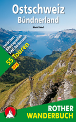
- Wandelgids Ostschweiz - Bündnerland | Rother Bergverlag
- De ‘Rother Wanderbücher’ behandelen telkens de 50 mooiste wandelingen, die variëren van eenvoudige kindvriendelijke wandelingen tot routes die aanzienlijk meer ervaring vereisen. Uitvoerige routebeschrijvingen, een aantrekkelijke lay-out met vele kleurenfoto’s, niets aan duidelijkheid te wensen gelaten hoogteprofielen, kaartjes met de... Leer más

De Zwerver
Netherlands
2017
Netherlands
2017
- Wandelgids 411 Kautokeino - Nordkap E1 | Conrad Stein Verlag
- Handzaam boekje met de routebeschrijving inclusief een heleboel praktische informatie. De beschrijving is uitstekend, maar kaarten zijn wat beperkt. Duits. Die 330 km lange Wanderung auf dem E1 von Kautokeino zum Nordkap ist ein unvergessliches Wanderabenteuer. In 15 Etappen laufen Sie durch die Wildnis Nordnorwegens und überqueren die... Leer más


De Zwerver
Netherlands
2007
Netherlands
2007
- Wandelgids Across the eastern alps: E5 | Cicerone
- From Lake Constance in Germany, this guidebook describes walking the E5 trek that runs 600km through a remarkable kaleidoscope of landscapes and culture in Switzerland, Austria and Italy, to its destination at Verona. It traverses the Allgauer, Lechtaler and Ötztaler Alps. There is a good network of alpine refuges and guesthouses on the route. Leer más
De Zwerver
Netherlands
2022
Netherlands
2022
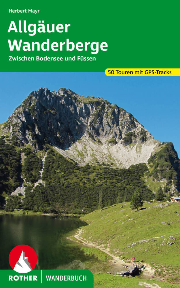
- Wandelgids Allgäuer Wanderberge | Rother Bergverlag
- De ‘Rother Wanderbücher’ behandelen telkens de 50 mooiste wandelingen, die variëren van eenvoudige kindvriendelijke wandelingen tot routes die aanzienlijk meer ervaring vereisen. Uitvoerige routebeschrijvingen, een aantrekkelijke lay-out met vele kleurenfoto’s, niets aan duidelijkheid te wensen gelaten hoogteprofielen, kaartjes met de... Leer más
Bol.com
Netherlands
Netherlands
- Bodensee
- Es gibt nicht viele mitteleuropäische Urlaubsregionen, die so sehr zu Entdeckungen mit dem Fahrrad animieren wie der Bodensee mit seinem herrlichen Umland. Erlebnisradeln am >Schwäbischen Meer<, das bedeutet begeisternde Touren für alle, für groß und klein, für jung und alt.Die vorgestellten Radwanderungen, die überwiegend vom meist recht... Leer más
- Also available from:
- Bol.com, Belgium
Bol.com
Belgium
Belgium
- Bodensee
- Es gibt nicht viele mitteleuropäische Urlaubsregionen, die so sehr zu Entdeckungen mit dem Fahrrad animieren wie der Bodensee mit seinem herrlichen Umland. Erlebnisradeln am >Schwäbischen Meer<, das bedeutet begeisternde Touren für alle, für groß und klein, für jung und alt.Die vorgestellten Radwanderungen, die überwiegend vom meist recht... Leer más

De Zwerver
Netherlands
2022
Netherlands
2022
De Zwerver
Netherlands
2021
Netherlands
2021
- Wandelgids Bodensee - Rätikon | Rother Bergverlag
- Uitstekende wandelgids met een groot aantal dagtochten in dal en hooggebergte. Met praktische informatie en beperkt kaartmateriaal! Wandelingen in verschillende zwaarte weergegeven in rood/blauw/zwart. Das Tourengebiet dieses Wanderführers reicht vom Bodensee fast bis zum Gletschereis der Schesaplana – es entspricht weitgehend der Vorarlberger... Leer más
Bol.com
Netherlands
2008
Netherlands
2008
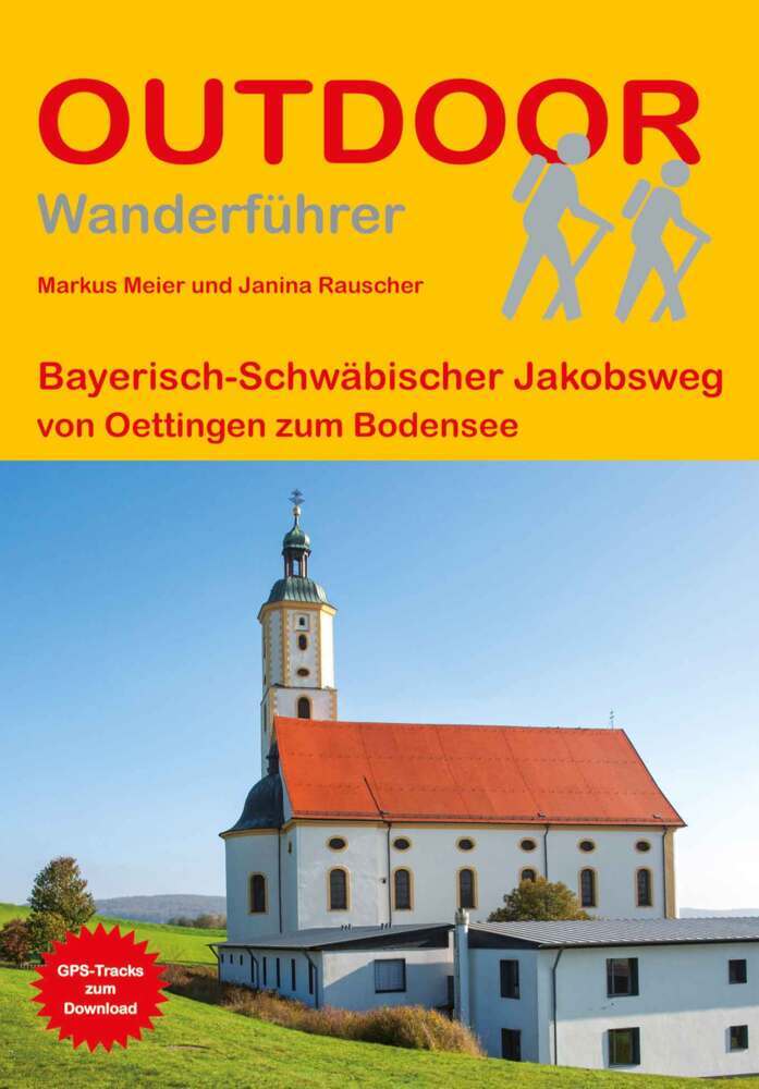
- WF1083 Jakobsweg Deutschland 1, Fulda, Einsiedeln Kompass
- Fulda-Einsiedeln, Nürnberg-Ulm; 45 EtappenDe Kompass wandelgids + kaart geeft een overzicht van alle wandelroutes in het gebied met nauwkeurige routeaanwijzingen en hoogteaanduidingen, De extra grote kaart, schaal 1:35 000, is ideaal om van te voren uw route uit te stippelen en om onderweg te gebruiken • naast de bekende bestemmingen, worden... Leer más
- Also available from:
- Bol.com, Belgium
Bol.com
Belgium
2008
Belgium
2008
- WF1083 Jakobsweg Deutschland 1, Fulda, Einsiedeln Kompass
- Fulda-Einsiedeln, Nürnberg-Ulm; 45 EtappenDe Kompass wandelgids + kaart geeft een overzicht van alle wandelroutes in het gebied met nauwkeurige routeaanwijzingen en hoogteaanduidingen, De extra grote kaart, schaal 1:35 000, is ideaal om van te voren uw route uit te stippelen en om onderweg te gebruiken • naast de bekende bestemmingen, worden... Leer más
Bol.com
Netherlands
Netherlands
- Journey Through Baden
- The sheer diversity of this stretch of Germany?from Lake Constance to the Black Forest and from the Rhine plateau to the forest of the Odenwald?is showcased in this striking guide, illustrating its full range of activities from hiking to paragliding. Numerous cultural monuments are depicted, demonstrating how they bear witness to a rich and... Leer más
- Also available from:
- Bol.com, Belgium
Bol.com
Belgium
Belgium
- Journey Through Baden
- The sheer diversity of this stretch of Germany?from Lake Constance to the Black Forest and from the Rhine plateau to the forest of the Odenwald?is showcased in this striking guide, illustrating its full range of activities from hiking to paragliding. Numerous cultural monuments are depicted, demonstrating how they bear witness to a rich and... Leer más

De Zwerver
Netherlands
2022
Netherlands
2022
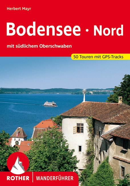
- Wandelgids Bodensee Nord | Rother Bergverlag
- Uitstekende wandelgids met een groot aantal dagtochten in dal en hooggebergte. Met praktische informatie en beperkt kaartmateriaal! Wandelingen in verschillende zwaarte weergegeven in rood/blauw/zwart. Malerische Badebuchten und ergreifende Steiluferlandschaften, aussichtsreiche Rebhänge, blühende Obstgärten und erfrischende Wälder, dazwischen... Leer más

Bol.com
Netherlands
2015
Netherlands
2015
- Fernwanderweg E5
- Der E5 zeigt auf den 600 km vom Bodensee quer ber die Alpen nach Verona viele Gesichter: saftige Wiesen, felsige berg nge, m chtige Gletscher und mediterranes Flair. Leer más
- Also available from:
- Bol.com, Belgium
- De Zwerver, Netherlands
Bol.com
Belgium
2015
Belgium
2015
- Fernwanderweg E5
- Der E5 zeigt auf den 600 km vom Bodensee quer ber die Alpen nach Verona viele Gesichter: saftige Wiesen, felsige berg nge, m chtige Gletscher und mediterranes Flair. Leer más

De Zwerver
Netherlands
2024
Netherlands
2024
- Wandelgids Fernwanderweg E5 | Rother Bergverlag
- Duitstalige wandelgids met zeer goed beschreven wandelroutes die aan elkaar de Europese LAW E5 vormen. Redelijk kaartmateriaal, vooral de beschrijving van de route en de praktische info die er bij hoort is goed. Der Europäische Fernwanderweg E5 überquert die Alpen in Nord-Süd-Richtung auf etwa 600 km Länge. Überwiegend gut markiert führt er von... Leer más
Mapas

Stanfords
United Kingdom
United Kingdom
- Monte Carpegna - Sasso di Simone
- Map No. 16, Monte Carpegna - Sasso di Simone, in series of contoured, GPS compatible hiking maps at 1:25,000 from the Istituto Geografico Adriatico, covering mainly the spine of the Apennines along the borders of Tuscany, Emilia-Romagna, Umbria and the Marches.Map in this series have contours at 25m intervals with additional shading and... Leer más

Stanfords
United Kingdom
United Kingdom
- Danube-Lake Constance Cycle Route - Upper Swabia-Allgäu Cycle Route Bikeline Map-Guide
- The Danube to Lake Constance Cycle Tour, three north-south routes between Ulm on the Danube and Friedrichshafen on Lake Constance plus two connecting east-west variants - a total of 521kms of cycle paths, presented by the Verlag Esterbauer in a guide with maps at 1:50,000 showing the route and its variants. Extensive information is conveyed by... Leer más

Stanfords
United Kingdom
United Kingdom
- Alta Val Tiberina
- Map No. 125, Alta Val Tiberina, in a series of GPS compatible hiking maps at 1:50,000 from the Istituto Geografico Adriatico, covering parts of central Italy: eastern Tuscany, with northern Umbria and the Marches, plus the south-eastern of part of Emilia-Romagna.The maps have contours at 50m intervals with additional shading and numerous spot... Leer más
Stanfords
United Kingdom
United Kingdom
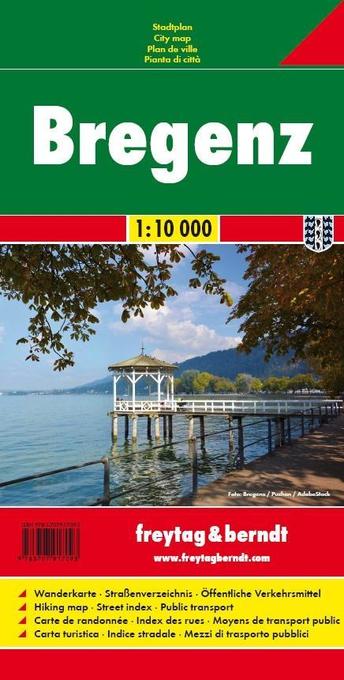
- Bregenz F&B
- Indexed street plan of Bregenz extending north along the Bodensee coast to Lochau and Unter Hochsteg. Detail includes pedestrianised areas, railways, bus routes and cycle paths. Notable buildings are highlighted in red, and symbols indicate post offices, hostels, campsites and car parks.On the reverse is a 1:50,000 contoured map of the... Leer más

Stanfords
United Kingdom
United Kingdom
- Foreste Casentinesi NP Monti Editore 20
- Map No. 20, Foreste Casentinesi: Campigna, Camaldoli, Chiusi dell Verna, in series of contoured, GPS compatible hiking maps at 1:25,000 from the Istituto Geografico Adriatico, covering mainly the spine of the Apennines along the borders of Tuscany, Emilia-Romagna, Umbria and the Marches.Map in this series have contours at 25m intervals with... Leer más

Stanfords
United Kingdom
United Kingdom
- Rhine Cycle Route 1 - Andermatt to Basel
- The first section of the Rhine Cycle Route from Andermatt, along the southern bank of Lake Constance, to Basel presented by Verlag Esterbauer in a guide with maps at 1:50,000 showing the route and its variants. Between Schaffhausen and Basel the guide covers the route along both banks of the Rhine - either 426km along the south bank or 410 km... Leer más

Stanfords
United Kingdom
United Kingdom
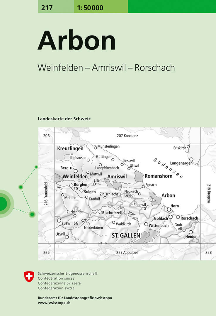
- Arbon Swisstopo 217
- Arbon, map No. 217, in the standard topographic survey of Switzerland at 1:50,000 from Swisstopo, i.e. without the special overprint highlighting walking trails, local bus stops, etc, presented in Swisstopo’s hiking editions of the 50K survey. The map covers the southern part of Lake Constance and includes St. Gallen.Highly regarded for their... Leer más
- Also available from:
- De Zwerver, Netherlands
De Zwerver
Netherlands
Netherlands
- Wandelkaart - Topografische kaart 217 Arbon | Swisstopo
- Arbon, map No. 217, in the standard topographic survey of Switzerland at 1:50,000 from Swisstopo, i.e. without the special overprint highlighting walking trails, local bus stops, etc, presented in Swisstopo Leer más

Stanfords
United Kingdom
United Kingdom
- Lake Constance Cycle Route Bikeline Map-Guide
- A Tour of Lake Constance (Bodensee), a 260-km long cycle route around the lake in Germany, Austrian and Switzerland, presented by the Verlag Esterbauer in a guide with maps at 1:50,000 showing the route and its variants. Extensive information is conveyed by symbols, indicating road surface, campsites and other accommodation, repair workshops,... Leer más
Stanfords
United Kingdom
United Kingdom
- Riviera Cesenate - San Marino
- Map No. 128, Riviera Cesenate - San Marino, in a series of GPS compatible hiking maps at 1:50,000 from the Istituto Geografico Adriatico, covering parts of central Italy: eastern Tuscany, with northern Umbria and the Marches, plus the south-eastern of part of Emilia-Romagna.The maps have contours at 50m intervals with additional shading and... Leer más
Stanfords
United Kingdom
United Kingdom
- Lake Constance - Allgau Cycle Routes Bikeline Map-Guide
- Nearly 800kms of cycling routes in the northern environs of Lake Constance, from 18.5km to 76km long, presented by the Verlag Esterbauer in guide with maps at 1:50,000 showing the routes and their variants. Extensive information is conveyed by symbols, indicating road surface, campsites and other accommodation, repair workshops, recreational... Leer más
Stanfords
United Kingdom
United Kingdom
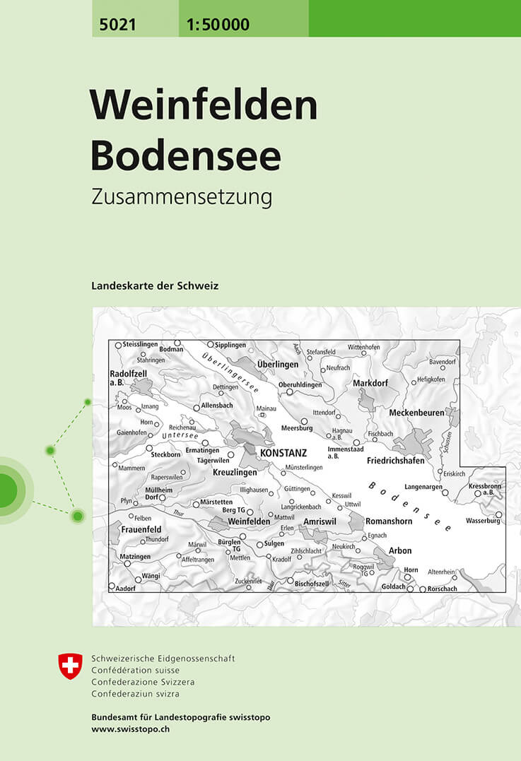
- Weinfelden - Lake Constance Swisstopo 5021
- Weinfelden - Lake Constance area, map No. 5021, in the standard topographic survey of Switzerland at 1:50,000 from Swisstopo, i.e. without the special overprint highlighting walking trails, local bus stops, etc, presented in Swisstopo’s hiking editions of the 50K survey. Highly regarded for their superb use of graphic relief and hill shading,... Leer más
- Also available from:
- De Zwerver, Netherlands
De Zwerver
Netherlands
Netherlands
- Wandelkaart - Topografische kaart 5021 Weinfelden - Bodensee | Swisstopo
- Samengestelde kaart van de normale 50.000 serie, daardoor bestrijkt deze kaart een veel groter gebied. Deze kaarten zijn beroemd en gewaardeerd om het geweldige kleurgebruik voor reliëf en hoogte door schaduwwerking. De kaarten geven bijna een 3-D beeld van het landschap. De hoogtelijnen kennen een interval van 20 meter. Wandelroutes en... Leer más

Stanfords
United Kingdom
United Kingdom
- Lake Constance Cycling Map
- Lake Constance on a waterproof, tear-resistant, GPS compatible cycling map at 1:50,000 from the ADFC (Allgemeiner Deutscher Fahrrad-Club - the official German cycling federation), in a series of maps with extensive overprint for long-distance and local cycling routes. GPS waypoints, route profiles, details of online links for information about... Leer más
Stanfords
United Kingdom
United Kingdom
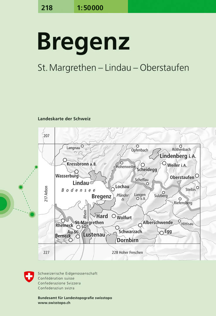
- Bregenz Swisstopo 218
- Bregenz, map No. 218, in the standard topographic survey of Switzerland at 1:50,000 from Swisstopo, i.e. without the special overprint highlighting walking trails, local bus stops, etc, presented in Swisstopo’s hiking editions of the 50K survey. The map covers mainly the Austrian side of the border, plus the Bavarian side of Lake Constance with... Leer más
- Also available from:
- De Zwerver, Netherlands
De Zwerver
Netherlands
Netherlands
- Wandelkaart - Topografische kaart 218 Bregenz | Swisstopo
- Bregenz, map No. 218, in the standard topographic survey of Switzerland at 1:50,000 from Swisstopo, i.e. without the special overprint highlighting walking trails, local bus stops, etc, presented in Swisstopo Leer más

Stanfords
United Kingdom
United Kingdom
- Lake Constance West Kompass 1a
- The north-western environs of Lake Constance (Bodensee) on a detailed, GPS compatible map at 1:50,000 from Kompass with local and long-distance footpaths, cycling routes, accommodation, etc, printed on durable, waterproof and tear-resistant synthetic paper. KOMPASS HIKING & RECREATIONAL MAPS: this title is part of an extensive series covering... Leer más
Stanfords
United Kingdom
United Kingdom
- Alta Val Marecchia
- Map No. 126, Alta Val Marecchia, in a series of GPS compatible hiking maps at 1:50,000 from the Istituto Geografico Adriatico, covering parts of central Italy: eastern Tuscany, with northern Umbria and the Marches, plus the south-eastern of part of Emilia-Romagna.The maps have contours at 50m intervals with additional shading and numerous spot... Leer más