Stanfords
United Kingdom
Stanfords
United Kingdom
Stanfords
United Kingdom
Stanfords
United Kingdom
Stanfords
United Kingdom
Stanfords
United Kingdom
Stanfords
United Kingdom
Stanfords
United Kingdom
Stanfords
United Kingdom
Stanfords
United Kingdom
Stanfords
United Kingdom
2013
Stanfords
United Kingdom
» Click to open
The Book Depository
United Kingdom
  • Grossvenediger - Oberpinzgau Hiking + Leisure Map 1:50 000
  • Grossvenediger - Oberpinzgau area of the Austrian Alps presented at 1:50,000 in a series of contoured and GPS compatible outdoor leisure map from Freytag & Berndt with hiking and cycling routes, mountain huts, campsites and youth hostels, local bus stops, plus other tourist information.To see the list of currently available titles in this... Leer más
» Click to close
Stanfords
United Kingdom
» Click to open
The Book Depository
United Kingdom
  • Matrei - Defereggen - Virgental Hiking + Leisure Map 1:50 000
  • Matrei - Deferggen - Virgental area of the Austrian Alps presented at 1:50,000 in a series of contoured and GPS compatible outdoor leisure map from Freytag & Berndt with hiking and cycling routes, mountain huts, campsites and youth hostels, local bus stops, plus other tourist information.To see the list of currently available titles in this... Leer más
» Click to close
Stanfords
United Kingdom
» Click to open
De Zwerver
Netherlands
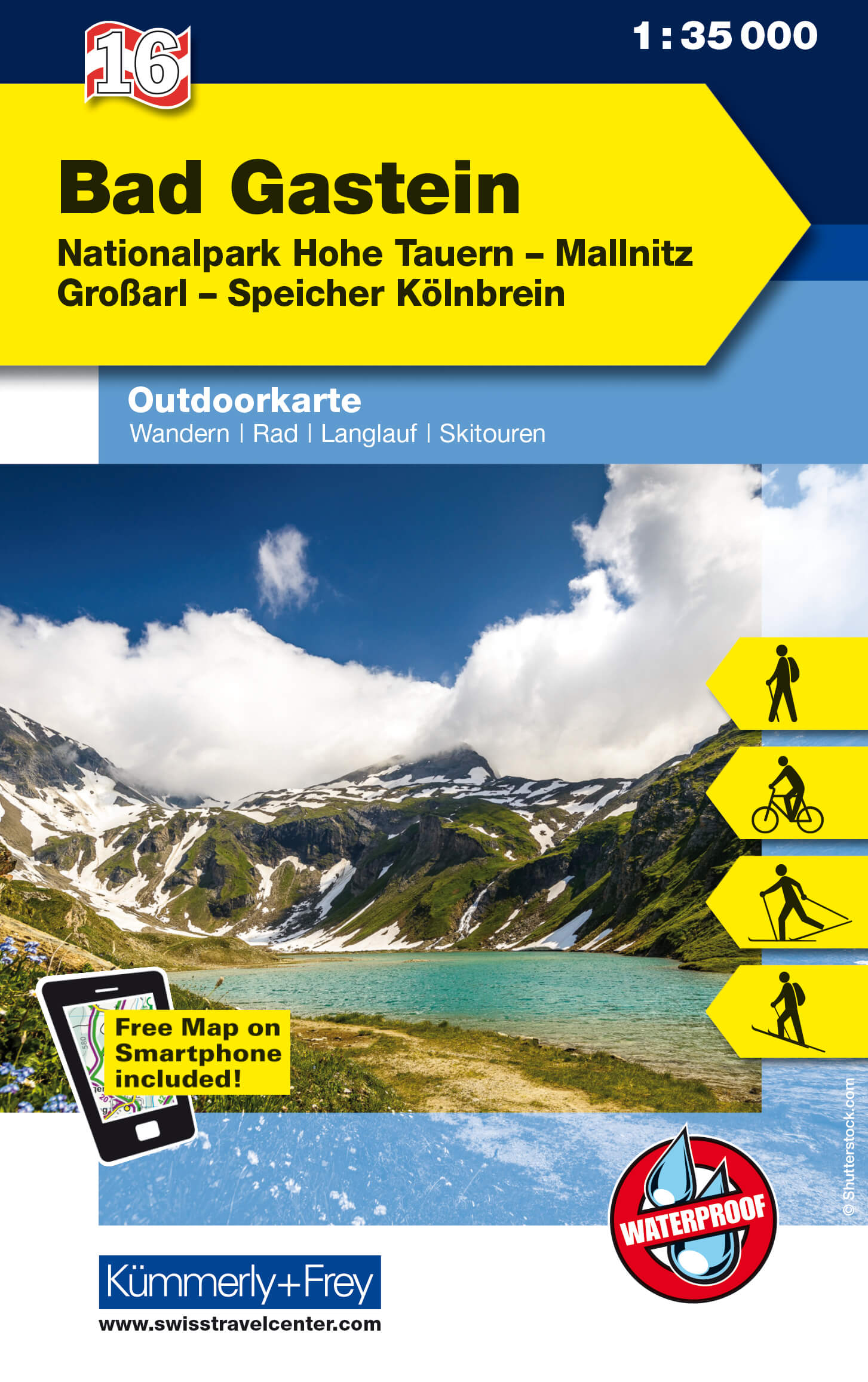
  • Wandelkaart 16 Outdoorkarte AT Bad Gastein | Kümmerly & Frey
  • Bad Gastein area of the Tyrol at 1:35,000 on a GPS compatible, double-sided map from Kümmerly+Frey printed on sturdy, waterproof and tear-resistant synthetic paper; contoured, with hiking, cycling and ski routes, accommodation facilities, locations for other recreational activities, etc.Maps in the K+F recreational series covering the Austrian... Leer más
» Click to close
De Zwerver
Netherlands
2023