Stanfords
United Kingdom
United Kingdom
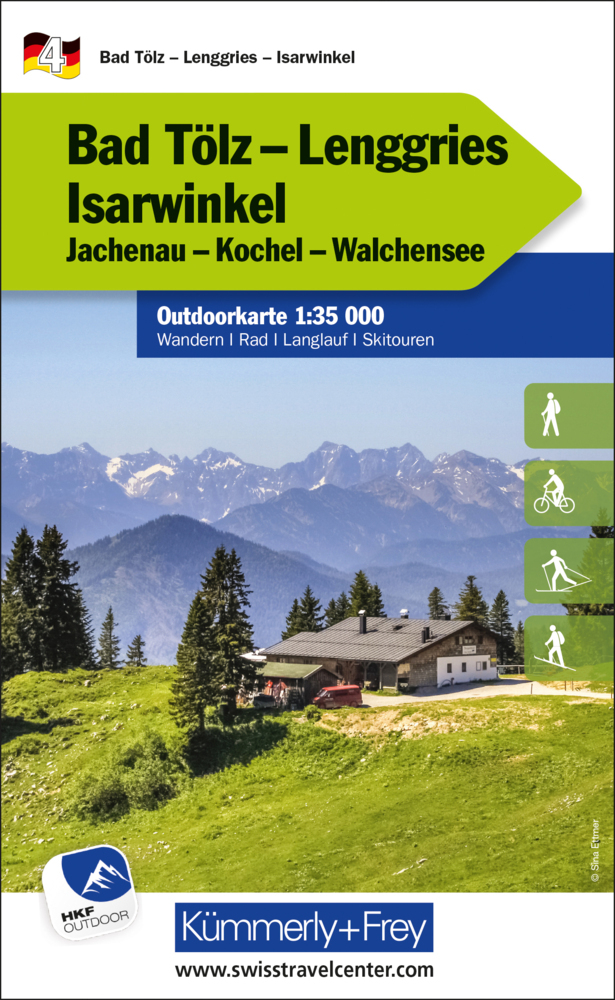
- Bad Tölz - Lenggries - Isarwinkel K+F Outdoor Map 4
- Bad Tölz - Isarwinkel area of the German Alps at 1:35,000 from Kümmerly+Frey in a series GPS compatible, double-sided maps printed on durable, waterproof and tear-resistant plastic paper; contoured, with hiking and cycle routes, other recreational activities, etc. Maps in this series are at a scale of either 1:50,000 or 1:35,000. Contour... Leer más