
Stanfords
United Kingdom

Stanfords
United Kingdom
- Hexham and Haltwhistle 1925
- Map No. 87, Hexham and Haltwhistle 1925, in the Cassini Historical Series of old Ordnance Survey mapping of England and Wales at 1:50,000 in a format designed to offer a convenient comparison with the present day coverage from the OS, and most locations in three different editions. Old historical maps have been combined so that the sheet lines... Leer más
Stanfords
United Kingdom
- Cheviot Hills and Kielder Water 1901
- Map No. 80, Cheviot Hills and Kielder Water 1901, in the Cassini Historical Series of old Ordnance Survey mapping of England and Wales at 1:50,000 in a format designed to offer a convenient comparison with the present day coverage from the OS, and most locations in three different editions. Old historical maps have been combined so that the... Leer más
Stanfords
United Kingdom
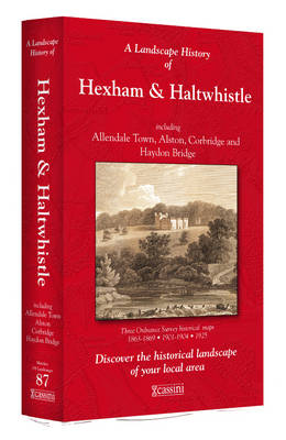
- Hexham and Haltwhistle 1863-1925 (3-map set)
- Map No. 87, Hexham and Haltwhistle 1983-1925 (3-map set), in the Cassini Historical Series of old Ordnance Survey mapping of England and Wales at 1:50,000 in a format designed to offer a convenient comparison with the present day coverage from the OS, and most locations in three different editions. Old historical maps have been combined so that... Leer más

Stanfords
United Kingdom
- Yorkshire Dales West
- The western part of the Yorkshire Dales on a waterproof and tear-resistant, contoured and GPS compatible map at 1:40,000 from Harvey Map Services showing local right of way paths, long-distance hiking routes, off road cycling routes, etc.Topography is shown by contours at 15m intervals, with spot heights plus colouring and graphics to show... Leer más
Stanfords
United Kingdom
- Blackburn and Burnley 1843-1859
- Map No. 103, Blackburn and Burnley 1843-1859, in the Cassini Historical Series of old Ordnance Survey mapping of England and Wales at 1:50,000 in a format designed to offer a convenient comparison with the present day coverage from the OS, and most locations in three different editions. Old historical maps have been combined so that the sheet... Leer más
Stanfords
United Kingdom
- Barnard Castle and Richmond 1860-1866
- Map No. 92, Barnard Castle and Richmond 1860-1866, in the Cassini Historical Series of old Ordnance Survey mapping of England and Wales at 1:50,000 in a format designed to offer a convenient comparison with the present day coverage from the OS, and most locations in three different editions. Old historical maps have been combined so that the... Leer más
Stanfords
United Kingdom
- Appleby-in-Westmorland 1925
- Map No. 91, Appleby-in-Westmorland 1925, in the Cassini Historical Series of old Ordnance Survey mapping of England and Wales at 1:50,000 in a format designed to offer a convenient comparison with the present day coverage from the OS, and most locations in three different editions. Old historical maps have been combined so that the sheet lines... Leer más
Stanfords
United Kingdom
- Haltwhistle and Brampton 1901-1904
- Map No. 86, Haltwhistle and Brampton 1901-1904, in the Cassini Historical Series of old Ordnance Survey mapping of England and Wales at 1:50,000 in a format designed to offer a convenient comparison with the present day coverage from the OS, and most locations in three different editions. Old historical maps have been combined so that the sheet... Leer más
Stanfords
United Kingdom
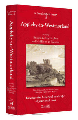
- Appleby-in-Westmorland 1860-1925 (3-map set)
- Map No. 91, Appleby-in-Westmorland 1860-1925 (3-map set), in the Cassini Historical Series of old Ordnance Survey mapping of England and Wales at 1:50,000 in a format designed to offer a convenient comparison with the present day coverage from the OS, and most locations in three different editions. Old historical maps have been combined so that... Leer más
Stanfords
United Kingdom
- Manchester 1842-1844
- Map No. 109, Manchester 1842-1844, in the Cassini Historical Series of old Ordnance Survey mapping of England and Wales at 1:50,000 in a format designed to offer a convenient comparison with the present day coverage from the OS, and most locations in three different editions. Old historical maps have been combined so that the sheet lines... Leer más
Stanfords
United Kingdom
- Wensleydale and Upper Wharfedale 1924-1925
- Map No. 98, Wensleydale and Upper Wharfedale 1924-1925, in the Cassini Historical Series of old Ordnance Survey mapping of England and Wales at 1:50,000 in a format designed to offer a convenient comparison with the present day coverage from the OS, and most locations in three different editions. Old historical maps have been combined so that... Leer más
Stanfords
United Kingdom
- Barnard Castle & Richmond 1925 - 92
- Map No. 92, Barnard Castle and Richmond 1925, in the Cassini Historical Series of old Ordnance Survey mapping of England and Wales at 1:50,000 in a format designed to offer a convenient comparison with the present day coverage from the OS, and most locations in three different editions. Old historical maps have been combined so that the sheet... Leer más
Stanfords
United Kingdom
- Hexham and Haltwhistle 1901-1904
- Map No. 87, Hexham and Haltwhistle 1901-1904, in the Cassini Historical Series of old Ordnance Survey mapping of England and Wales at 1:50,000 in a format designed to offer a convenient comparison with the present day coverage from the OS, and most locations in three different editions. Old historical maps have been combined so that the sheet... Leer más
Stanfords
United Kingdom
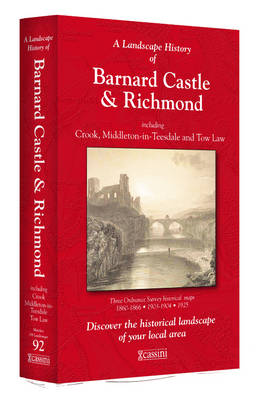
- Barnard Castle and Richmond 1860-1925 (3-map set)
- Map No. 92, Barnard Castle and Richmond 1860-1925 (3-map set), in the Cassini Historical Series of old Ordnance Survey mapping of England and Wales at 1:50,000 in a format designed to offer a convenient comparison with the present day coverage from the OS, and most locations in three different editions. Old historical maps have been combined so... Leer más