
Idaho
Descripción
Mountainous Idaho in the northeast of the States hosts 325 miles of the Continental Divide Trail, parts of the Great Western Trail and parts of the Pacific Northwest Trail.
All these trails are of great length. But if this is not enough, you can venture on the 1200 miles pure Idaho Centennial Trail, running north-south along the crests of the Rocky Mountains with its many lakes.
Targhee National Forest borders on Yellowstone National Park (Wyoming). There is very good walking in Nez Perce National Forest, Idaho Panhandle National Forest, Sawtooth National Forest, Challis National Forest, Payette National Forest, Targhee National Forest, Salmon National Forest and others.
Mapa

Senderos en estado
Enlaces
Datos
Informes
Guías y mapas
Hospedaje
Organizaciones
Operadores turísticos
GPS
Otro
Libros


The Book Depository
United Kingdom
United Kingdom
- Idaho Day Hikes
- A Folding Guide to Easy & Accessible Trails Leer más

The Book Depository
United Kingdom
United Kingdom
- Best Rail Trails Pacific Northwest
- More Than 60 Rail Trails in Washington, Oregon, and Idaho Leer más

The Book Depository
United Kingdom
United Kingdom
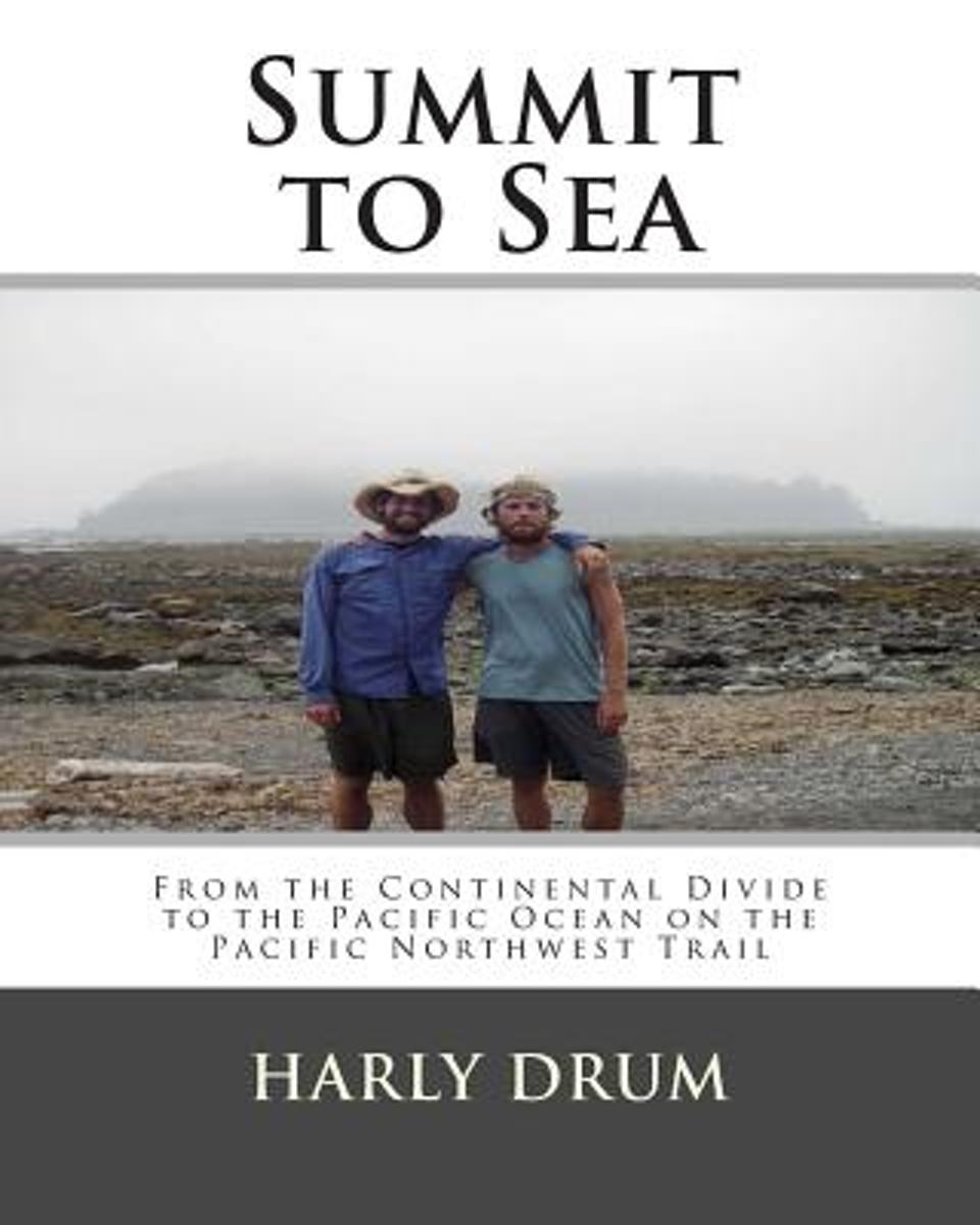
- Summit to Sea
- From the Continental Divide to the Pacific Ocean on the Pacific Northwest Trail Leer más
- Also available from:
- Bol.com, Netherlands
- Bol.com, Belgium
Bol.com
Netherlands
Netherlands
- Summit to Sea
- The second book in the Long-Distance Adventure Series, Summit to Sea is the true story of Harly and Dan Drum's thru-hike of the Pacific Northwest Trail. In June of 2004 they began walking west from Glacier Park and 1,200 miles later arrived at the Pacific Ocean near Cape Alava, Washington.Summit to Sea has been prepared in journal form and... Leer más
Bol.com
Belgium
Belgium
- Summit to Sea
- The second book in the Long-Distance Adventure Series, Summit to Sea is the true story of Harly and Dan Drum's thru-hike of the Pacific Northwest Trail. In June of 2004 they began walking west from Glacier Park and 1,200 miles later arrived at the Pacific Ocean near Cape Alava, Washington.Summit to Sea has been prepared in journal form and... Leer más

The Book Depository
United Kingdom
United Kingdom
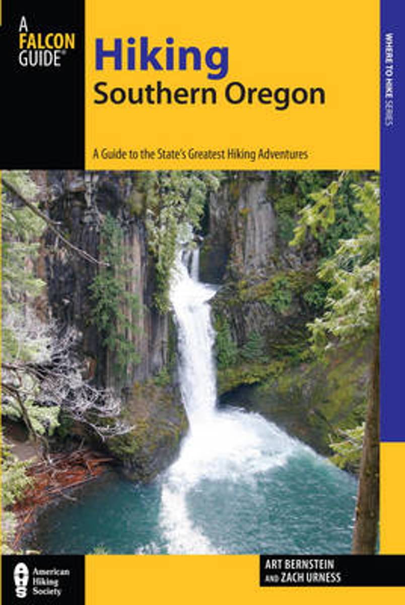
- Hiking Southern Oregon
- A Guide to the Area's Greatest Hiking Adventures Leer más
- Also available from:
- Bol.com, Netherlands
- Bol.com, Belgium
Bol.com
Netherlands
Netherlands
- Hiking Southern Oregon
- From the Idaho Line to the Pacific Coast, Hiking Southern Oregon describes 100 of the best hikes in the beautiful and surprisingly diverse bottom third of the state. Hikes are described for Steens Mountain, Hart Mountain Antelope Refuge, Crater Lake National Park; the Gearhart, Sky Lakes, Thielsen, Mountain Lakes, and Kalmiopsis Wilderness... Leer más
Bol.com
Belgium
Belgium
- Hiking Southern Oregon
- From the Idaho Line to the Pacific Coast, Hiking Southern Oregon describes 100 of the best hikes in the beautiful and surprisingly diverse bottom third of the state. Hikes are described for Steens Mountain, Hart Mountain Antelope Refuge, Crater Lake National Park; the Gearhart, Sky Lakes, Thielsen, Mountain Lakes, and Kalmiopsis Wilderness... Leer más
Bol.com
Netherlands
Netherlands
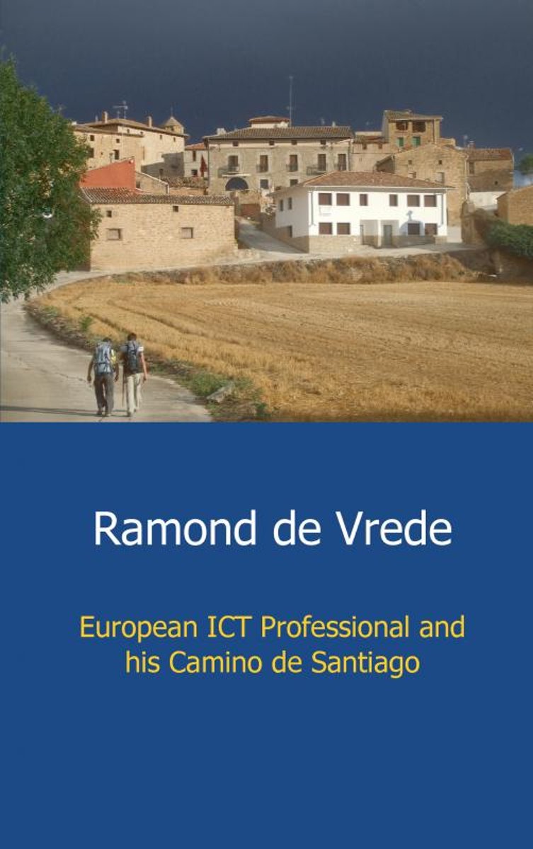
- European ict professional and his Camino de Santiago
- European ICT professional Ramond de Vrede used his journal to write about his pilgrimage from Saint-Jean-Pied-de-Port to Santiago de Compostella which he completed by foot. A journey of almost 800 km where he get insight over himself and others.Ramond de Vrede departs by train the 6th of July 2011 from Maastricht to Saint-Jean-Pied-de-Port in... Leer más
- Also available from:
- Bol.com, Belgium
Bol.com
Belgium
Belgium
- European ict professional and his Camino de Santiago
- European ICT professional Ramond de Vrede used his journal to write about his pilgrimage from Saint-Jean-Pied-de-Port to Santiago de Compostella which he completed by foot. A journey of almost 800 km where he get insight over himself and others.Ramond de Vrede departs by train the 6th of July 2011 from Maastricht to Saint-Jean-Pied-de-Port in... Leer más
Bol.com
Netherlands
Netherlands
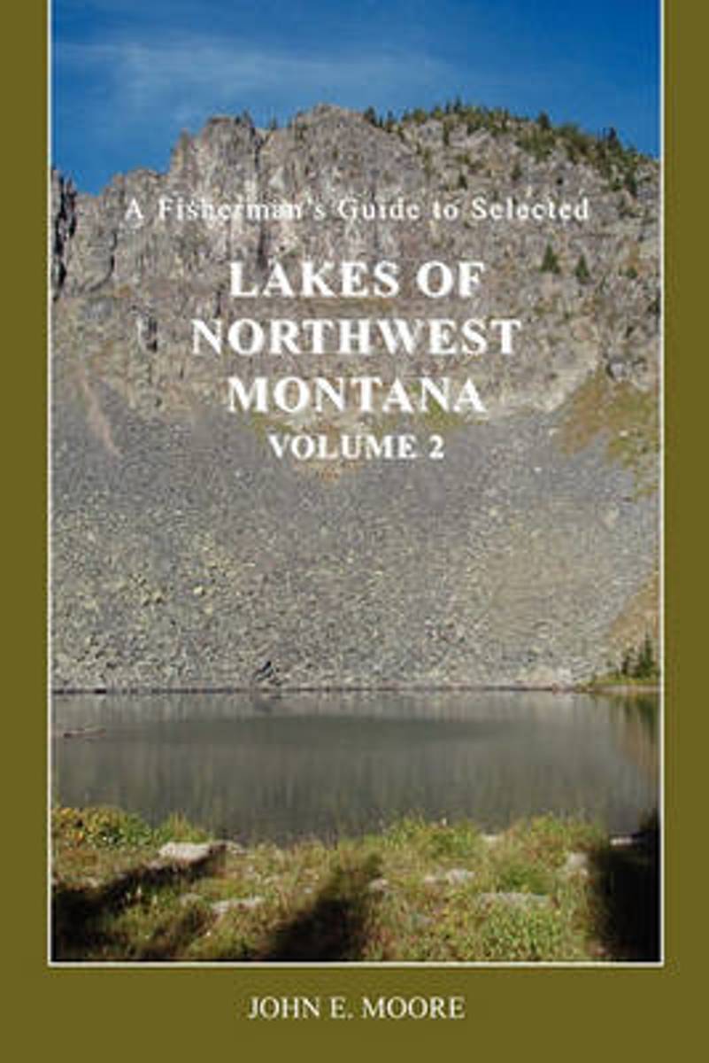
- A Fisherman's Guide to Selected Lakes of Northwest Montana, Volume 2
- This book is a second volume, containing information on 100 additional lakes in Flathead, Lake, Lincoln, Missoula and Sanders counties of northwest Montana. They range from lowland lakes to alpine lakes. Many can be driven to, while many others require a hike. Most fishing guides offer very limited information on a large number of lakes, most... Leer más
- Also available from:
- Bol.com, Belgium
Bol.com
Belgium
Belgium
- A Fisherman's Guide to Selected Lakes of Northwest Montana, Volume 2
- This book is a second volume, containing information on 100 additional lakes in Flathead, Lake, Lincoln, Missoula and Sanders counties of northwest Montana. They range from lowland lakes to alpine lakes. Many can be driven to, while many others require a hike. Most fishing guides offer very limited information on a large number of lakes, most... Leer más
Bol.com
Netherlands
Netherlands
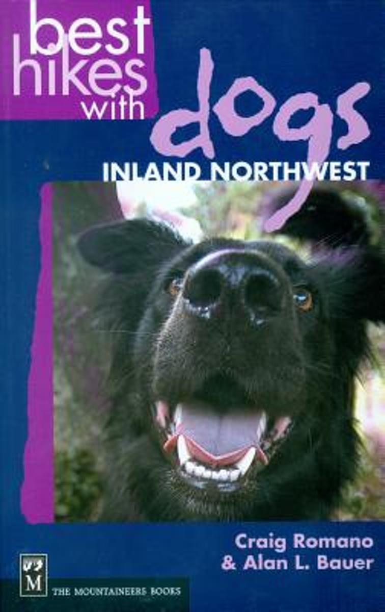
- Best Hikes with Dogs Inland Northwest
- CLICK HERE to download two free hikes from Best Hikes with Dogs Inland Northwest * Trails that are hazard-free and easy on the paws * On most trails, no leashes required and no crowds to dodge * Guidebook to 75 trails covering eastern Washington, Idaho panhandle, and northwest Montana; plus Okanagan Highlands and BC Kootenay (Canada) Although... Leer más
- Also available from:
- Bol.com, Belgium
Bol.com
Belgium
Belgium
- Best Hikes with Dogs Inland Northwest
- CLICK HERE to download two free hikes from Best Hikes with Dogs Inland Northwest * Trails that are hazard-free and easy on the paws * On most trails, no leashes required and no crowds to dodge * Guidebook to 75 trails covering eastern Washington, Idaho panhandle, and northwest Montana; plus Okanagan Highlands and BC Kootenay (Canada) Although... Leer más
Bol.com
Netherlands
Netherlands
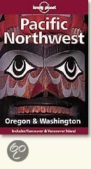
- Pacific Northwest
- Covering travel in Washington, Oregon and Western Idaho, this guide features: coverage of Seattle and Portland; clear road directions and information on using public transport; as well as details on outdoor activities, such as white-water rafting, windsurfing, skiing and hiking. Leer más
- Also available from:
- Bol.com, Belgium
Bol.com
Belgium
Belgium
- Pacific Northwest
- Covering travel in Washington, Oregon and Western Idaho, this guide features: coverage of Seattle and Portland; clear road directions and information on using public transport; as well as details on outdoor activities, such as white-water rafting, windsurfing, skiing and hiking. Leer más

The Book Depository
United Kingdom
United Kingdom
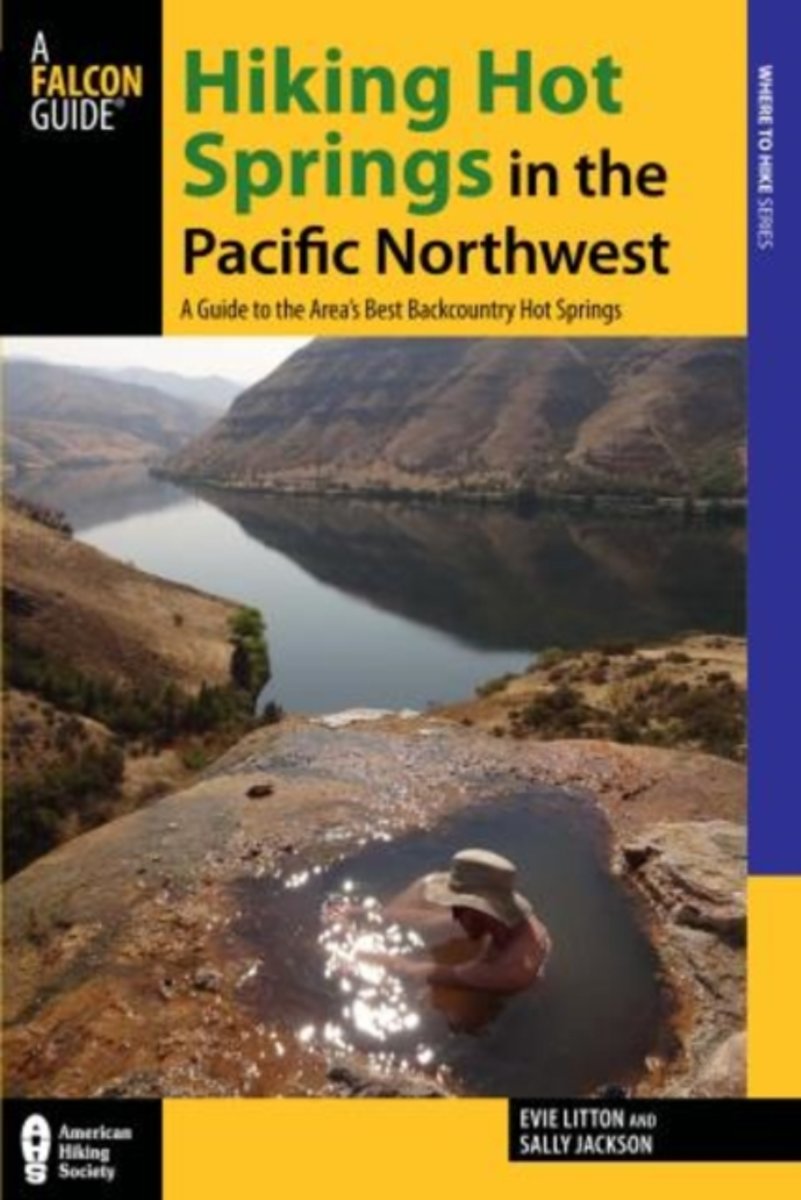
- Hiking Hot Springs in the Pacific Northwest
- A Guide to the Area's Best Backcountry Hot Springs Leer más
- Also available from:
- Bol.com, Netherlands
- Bol.com, Belgium
Bol.com
Netherlands
Netherlands
- Hiking Hot Springs in the Pacific Northwest
- Descriptions of more than 80 scenic hikes to or starting at more than 140 hot springs in Idaho, Washington, Oregon, and British Columbia. Leer más
Bol.com
Belgium
Belgium
- Hiking Hot Springs in the Pacific Northwest
- Descriptions of more than 80 scenic hikes to or starting at more than 140 hot springs in Idaho, Washington, Oregon, and British Columbia. Leer más
Bol.com
Netherlands
Netherlands
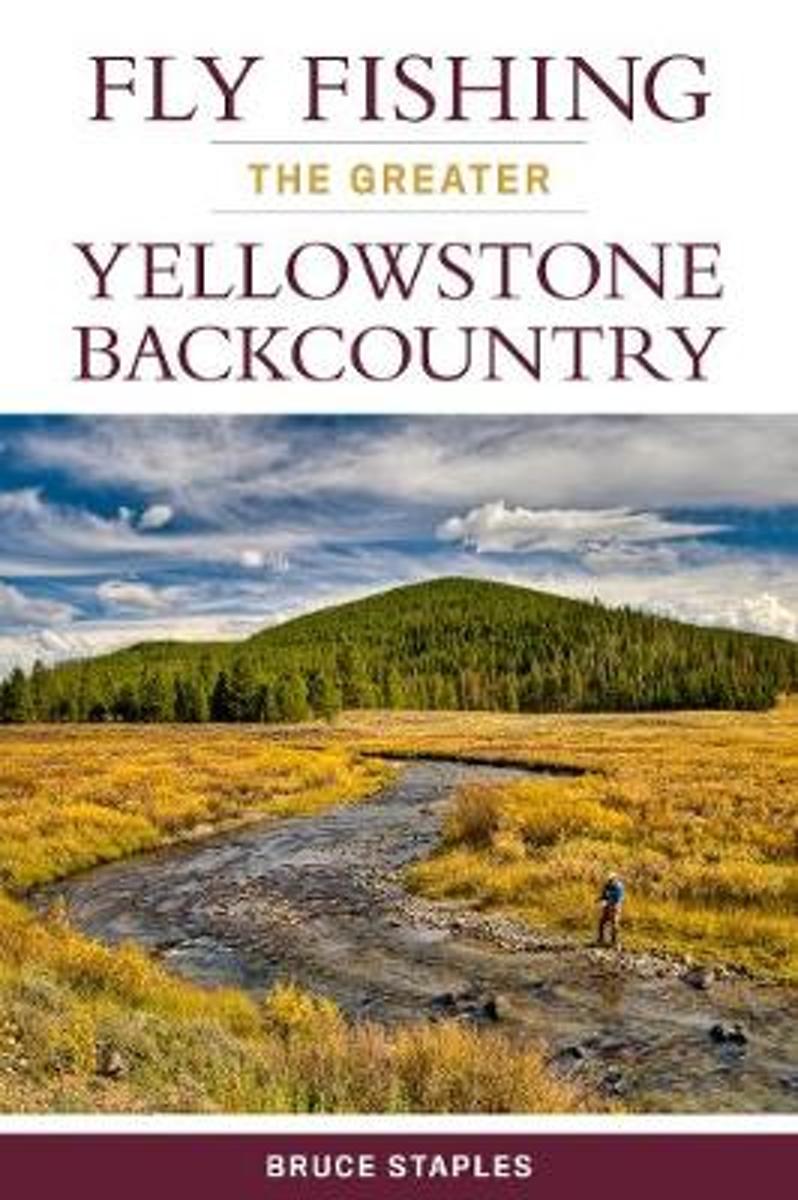
- Fly Fishing the Greater Yellowstone Backcountry
- Yellowstone National Park is one of the most crowded parks in the country, and for good reason: breathtaking scenery, amazing wildlife, and for anglers, great fishing. Yet, even a short hike from the road or trailhead into the backcountry of the park and the surrounding area can put anglers into even better fishing, often in solitude. This... Leer más
- Also available from:
- Bol.com, Belgium
Bol.com
Belgium
Belgium
- Fly Fishing the Greater Yellowstone Backcountry
- Yellowstone National Park is one of the most crowded parks in the country, and for good reason: breathtaking scenery, amazing wildlife, and for anglers, great fishing. Yet, even a short hike from the road or trailhead into the backcountry of the park and the surrounding area can put anglers into even better fishing, often in solitude. This... Leer más

The Book Depository
United Kingdom
United Kingdom
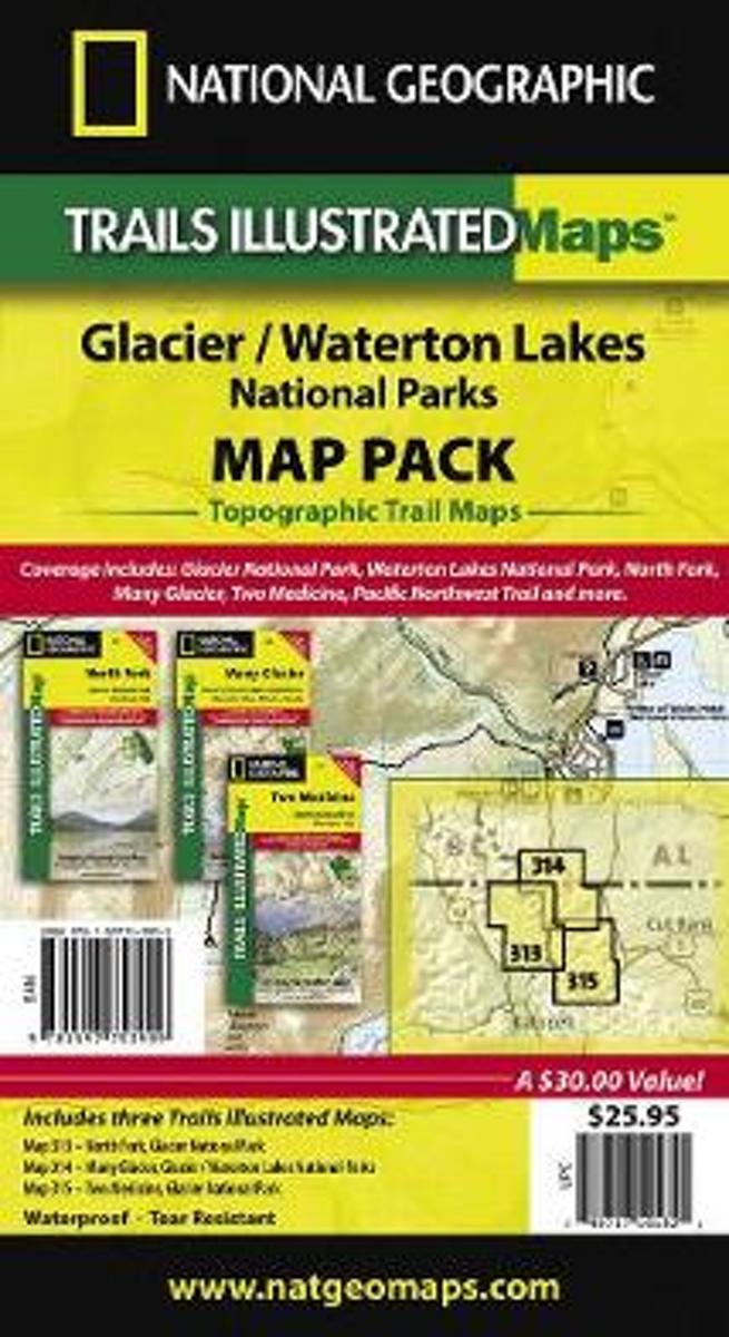
- Glacier/waterton Lakes National Parks,map Pack Bundle
- Trails Illustrated National Parks Leer más
- Also available from:
- Bol.com, Netherlands
- Bol.com, Belgium
Bol.com
Netherlands
Netherlands
- Glacier/waterton Lakes National Parks,map Pack Bundle
- Waterproof Tear-Resistant Topographic MapSeeking the best combination of detailed maps and value for your Glacier/Waterton Lakes National Parks trip, then get our bundle pack. It includes three of our Glacier/Waterton Lakes National Parks sectional Trails Illustrated maps, providing you coverage of the entire map region, while saving you... Leer más
Bol.com
Belgium
Belgium
- Glacier/waterton Lakes National Parks,map Pack Bundle
- Waterproof Tear-Resistant Topographic MapSeeking the best combination of detailed maps and value for your Glacier/Waterton Lakes National Parks trip, then get our bundle pack. It includes three of our Glacier/Waterton Lakes National Parks sectional Trails Illustrated maps, providing you coverage of the entire map region, while saving you... Leer más
Bol.com
Netherlands
Netherlands
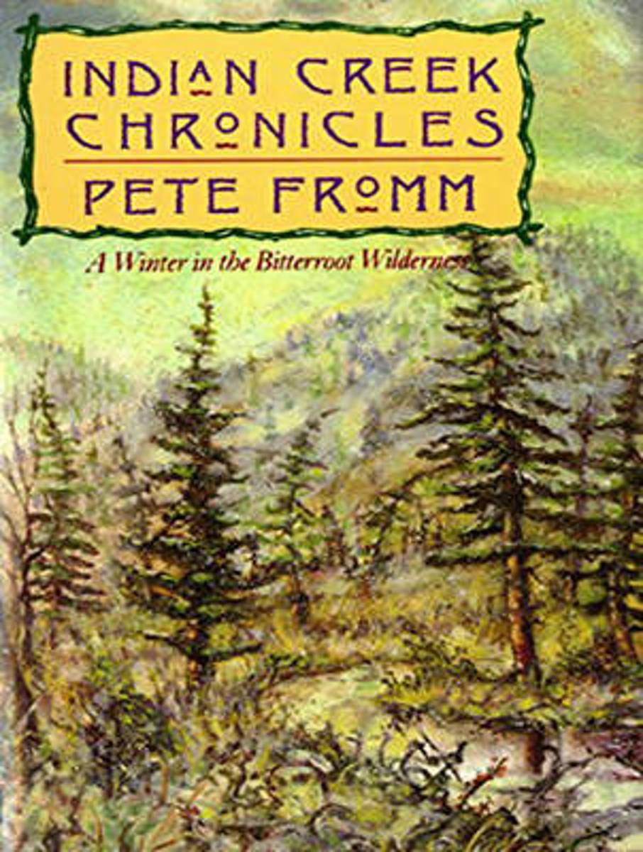
- Indian Creek Chronicles
- Winner of the Pacific Northwest Booksellers Association Book Award, Indian Creek Chronicles is Pete Fromm's account of seven winter months spent alone in a tent in Idaho guarding salmon eggs and coming face to face with the blunt realities of life as a contemporary mountain man. A gripping story of adventure and a modern-day Walden, this... Leer más
- Also available from:
- Bol.com, Belgium
Bol.com
Belgium
Belgium
- Indian Creek Chronicles
- Winner of the Pacific Northwest Booksellers Association Book Award, Indian Creek Chronicles is Pete Fromm's account of seven winter months spent alone in a tent in Idaho guarding salmon eggs and coming face to face with the blunt realities of life as a contemporary mountain man. A gripping story of adventure and a modern-day Walden, this... Leer más
Mapas

Stanfords
United Kingdom
United Kingdom
- Greater Yellowstone & Grand Teton Benchnark Maps Recreation Atlas & Guide
- Greater Yellowstone and Grand Teton Recreation Atlas & Guide from Benchmark Maps in an A4 paperback format, with coverage of the two parks on detailed, GPS compatible “Recreational” section at 1:100,000, regional map coverage of a wider area, plus a 10-page recreational guide with list of various facilities, etc.The more detailed “Landscape”... Leer más

Stanfords
United Kingdom
United Kingdom
- Idaho Springs - Loveland Pass CO
- Map No. 104, Idaho Springs - Loveland Pass in Colorado at 1:40,680 in an extensive series of GPS compatible, contoured hiking maps of USA’s national and state parks or forests and other popular recreational areas. Cartography is based on the national topographic survey, with additional tourist information.The maps, with most titles now printed... Leer más
- Also available from:
- The Book Depository, United Kingdom


Stanfords
United Kingdom
United Kingdom
- Old Faithful - Yellowstone National Park SW WY/MT
- Map No. 302, Yellowstone SW: Old Faithful, WY/MT, in an extensive series of GPS compatible, contoured hiking maps of USA’s national and state parks or forests and other popular recreational areas. Cartography based on the national topographic survey, with additional tourist information.The maps, with most titles now printed on light, waterproof... Leer más
- Also available from:
- The Book Depository, United Kingdom
- De Zwerver, Netherlands

The Book Depository
United Kingdom
United Kingdom
- Yellowstone Sw/old Faithful
- Trails Illustrated National Parks Leer más

De Zwerver
Netherlands
Netherlands
- Wandelkaart - Topografische kaart 302 Old Faithful, Yellowstone National Park SW | National Geographic
- Prachtige geplastificeerde kaart van het bekende nationaal park. Met alle recreatieve voorzieningen als campsites, maar ook met topografische details en wandelroutes ed. Door uitgekiend kleurgebruik zeer prettig in gebruik. Scheur en watervast! Beautiful waterproof and tear-resistant topographical hiking map of a well-loved National Park, with... Leer más

Stanfords
United Kingdom
United Kingdom
- Bryce Canyon National Park UT NGS Trails Illustrated Map 219
- Map No. 219, Bryce Canyon National Park, UT, in an extensive series of GPS compatible, contoured hiking maps of USA’s national and state parks or forests and other popular recreational areas. Cartography based on the national topographic survey, with additional tourist information.The maps, with most titles now printed on light, waterproof and... Leer más
- Also available from:
- The Book Depository, United Kingdom
- Bol.com, Netherlands
- Bol.com, Belgium
- De Zwerver, Netherlands

The Book Depository
United Kingdom
United Kingdom
- Bryce Canyon National Park
- Trails Illustrated National Parks Leer más

Bol.com
Netherlands
Netherlands
- Bryce Canyon National Park
- Waterproof Tear-Resistant Topographic MapNational Geographic's Trails Illustrated map of Bryce Canyon National Park is designed to meet the needs of outdoor enthusiasts by combining valuable information with unmatched detail of this unique landscape of hoodoos and forest. Created in partnership with local land management agencies, this... Leer más
Bol.com
Belgium
Belgium
- Bryce Canyon National Park
- Waterproof Tear-Resistant Topographic MapNational Geographic's Trails Illustrated map of Bryce Canyon National Park is designed to meet the needs of outdoor enthusiasts by combining valuable information with unmatched detail of this unique landscape of hoodoos and forest. Created in partnership with local land management agencies, this... Leer más

De Zwerver
Netherlands
Netherlands
- Wandelkaart - Topografische kaart 219 Bryce Canyon National Park | National Geographic
- Prachtige geplastificeerde kaart van het bekende nationaal park. Met alle recreatieve voorzieningen als campsites, maar ook met topografische details en wandelroutes ed. Door uitgekiend kleurgebruik zeer prettig in gebruik. Scheur en watervast! This informative Trails Illustrated map will help you plan trips and explore the area in and around... Leer más

Stanfords
United Kingdom
United Kingdom
- Olympic National Park WA
- Map No. 216, Olympic National Park, WA, in an extensive series of GPS compatible, contoured hiking maps of USA’s national and state parks or forests and other popular recreational areas. Cartography based on the national topographic survey, with additional tourist information.The maps, with most titles now printed on light, waterproof and... Leer más
- Also available from:
- Bol.com, Netherlands
- Bol.com, Belgium
- De Zwerver, Netherlands

Bol.com
Netherlands
Netherlands
- Olympic National Park
- Waterproof Tear-Resistant Topographic MapOlympic National Park encompasses four distinctly different ecosystems in its nearly one million acres. National Geographic's Trails Illustrated map of Olympic National Park offers outdoors enthusiasts a valuable tool for exploring the park's old-growth forests, glaciers, untamed rivers, and rugged... Leer más
Bol.com
Belgium
Belgium
- Olympic National Park
- Waterproof Tear-Resistant Topographic MapOlympic National Park encompasses four distinctly different ecosystems in its nearly one million acres. National Geographic's Trails Illustrated map of Olympic National Park offers outdoors enthusiasts a valuable tool for exploring the park's old-growth forests, glaciers, untamed rivers, and rugged... Leer más

De Zwerver
Netherlands
Netherlands
- Wandelkaart 216 Olympic National Park | National Geographic
- Prachtige geplastificeerde kaart van het bekende nationaal park. Met alle recreatieve voorzieningen als campsites, maar ook met topografische details en wandelroutes ed. Door uitgekiend kleurgebruik zeer prettig in gebruik. Scheur en watervast! Within the park, there is detailed coverage of Mount Olympus, Tshletshy Ridge, Hurrican Ridge,... Leer más

Stanfords
United Kingdom
United Kingdom
- Glacier - Waterton Lakes National Park MT
- Map No. 215, Glacier/Waterton Lakes National Park, MT, in an extensive series of GPS compatible, contoured hiking maps of USA’s national and state parks or forests and other popular recreational areas. Cartography based on the national topographic survey, with additional tourist information.The maps, with most titles now printed on light,... Leer más
- Also available from:
- Bol.com, Netherlands
- Bol.com, Belgium
- De Zwerver, Netherlands

Bol.com
Netherlands
Netherlands
- Glacier/waterton Lakes National Parks
- Waterproof Tear-Resistant Topographic MapNational Geographic's Trails Illustrated map of Glacier and Waterton Lakes National Parks offers unparalleled detail for outdoor enthusiasts exploring the pristine landscape of forests, mountains, lakes, and meadows within these two spectacular parks. Created in partnership with local land... Leer más
Bol.com
Belgium
Belgium
- Glacier/waterton Lakes National Parks
- Waterproof Tear-Resistant Topographic MapNational Geographic's Trails Illustrated map of Glacier and Waterton Lakes National Parks offers unparalleled detail for outdoor enthusiasts exploring the pristine landscape of forests, mountains, lakes, and meadows within these two spectacular parks. Created in partnership with local land... Leer más

De Zwerver
Netherlands
Netherlands
- Wandelkaart - Topografische kaart 215 Glacier - Waterton Lakes National Park | National Geographic
- Prachtige geplastificeerde kaart van het bekende nationaal park. Met alle recreatieve voorzieningen als campsites, maar ook met topografische details en wandelroutes ed. Door uitgekiend kleurgebruik zeer prettig in gebruik. Scheur en watervast! Waterton Lakes National Park, Canada includes Waterton Park, Upper and Middle Waterton Lakes, The... Leer más

Stanfords
United Kingdom
United Kingdom
- Yellowstone National Park WY/MT NGS Trails Illustrated Map 201
- Map No. 201, Yellowstone National Park, WY/MT, in an extensive series of GPS compatible, contoured hiking maps of USA’s national and state parks or forests and other popular recreational areas. Cartography based on the national topographic survey, with additional tourist information.The maps, with most titles now printed on light, waterproof... Leer más
- Also available from:
- The Book Depository, United Kingdom
- Bol.com, Netherlands
- Bol.com, Belgium
- De Zwerver, Netherlands

The Book Depository
United Kingdom
United Kingdom
- Yellowstone National Park
- Trails Illustrated National Parks Leer más

Bol.com
Netherlands
Netherlands
- Yellowstone National Park
- Waterproof Tear-Resistant Topographic MapNational Geographic's Trails Illustrated map of Yellowstone National Park is designed to meet the needs of outdoor enthusiasts by combining valuable information with unmatched detail of America's first national park. Expertly researched and created in partnership with local land management... Leer más
Bol.com
Belgium
Belgium
- Yellowstone National Park
- Waterproof Tear-Resistant Topographic MapNational Geographic's Trails Illustrated map of Yellowstone National Park is designed to meet the needs of outdoor enthusiasts by combining valuable information with unmatched detail of America's first national park. Expertly researched and created in partnership with local land management... Leer más

De Zwerver
Netherlands
Netherlands
- Wandelkaart - Topografische kaart 201 Trails Illustrated Yellowstone National Park | National Geographic
- Prachtige geplastificeerde kaart van het bekende nationaal park. Met alle recreatieve voorzieningen als campsites, maar ook met topografische details en wandelroutes ed. Door uitgekiend kleurgebruik zeer prettig in gebruik. Scheur en watervast! Detailed and accurate coverage for Yellowstone National Park. Includes a detailed road network and... Leer más

Stanfords
United Kingdom
United Kingdom
- North Fork - Glacier National Park MT NGS Trails Illustrated Map 313
- Map No. 314, Glacier National Park: Many Glacier, MT, in an extensive series of GPS compatible, contoured hiking maps of USA’s national and state parks or forests and other popular recreational areas. Cartography based on the national topographic survey, with additional tourist information.The maps, with most titles now printed on light,... Leer más
- Also available from:
- Bol.com, Netherlands
- Bol.com, Belgium

Bol.com
Netherlands
Netherlands
- North Fork, Glacier National Park
- Waterproof Tear-Resistant Topographic MapLocated just north of Kalispell in Montana's northwest corner, Glacier National contains an abundance of recreational opportunities for outdoor enthusiasts of all interests.This detailed topographic recreation map contains carefully researched trails, campsites, forest service roads, and... Leer más
Bol.com
Belgium
Belgium
- North Fork, Glacier National Park
- Waterproof Tear-Resistant Topographic MapLocated just north of Kalispell in Montana's northwest corner, Glacier National contains an abundance of recreational opportunities for outdoor enthusiasts of all interests.This detailed topographic recreation map contains carefully researched trails, campsites, forest service roads, and... Leer más


De Zwerver
Netherlands
Netherlands
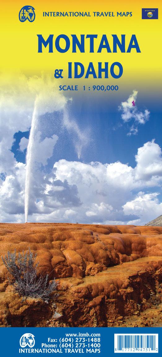
- Wegenkaart - landkaart Idaho, Montana & Wyoming | ITMB
- Idaho,Montana & Wyoming Travel Reference Map 1 : 1 000 000 ab 10.49 EURO International Travel Map ITM. 1st Edition Leer más

Stanfords
United Kingdom
United Kingdom
- Many Glacier - Glacier and Waterton Lakes National Parks MT
- Map No. 313, Glacier National Park: North Fork, MT, in an extensive series of GPS compatible, contoured hiking maps of USA’s national and state parks or forests and other popular recreational areas. Cartography based on the national topographic survey, with additional tourist information.The maps, with most titles now printed on light,... Leer más
- Also available from:
- Bol.com, Netherlands
- Bol.com, Belgium
- De Zwerver, Netherlands

Bol.com
Netherlands
Netherlands
- Many Glacier, Glacier National Park
- Waterproof Tear-Resistant Topographic MapLocated just north of Kalispell in Montana's northwest corner, Glacier National contains an abundance of recreational opportunities for outdoor enthusiasts of all interests.This detailed topographic recreation map contains carefully researched trails, campsites, forest service roads, and... Leer más
Bol.com
Belgium
Belgium
- Many Glacier, Glacier National Park
- Waterproof Tear-Resistant Topographic MapLocated just north of Kalispell in Montana's northwest corner, Glacier National contains an abundance of recreational opportunities for outdoor enthusiasts of all interests.This detailed topographic recreation map contains carefully researched trails, campsites, forest service roads, and... Leer más

De Zwerver
Netherlands
Netherlands
- Wandelkaart - Topografische kaart 314 Many Glacier - Glacier and Waterton Lakes National Parks | National Geographic
- Prachtige geplastificeerde kaart van het bekende nationaal park. Met alle recreatieve voorzieningen als campsites, maar ook met topografische details en wandelroutes ed. Door uitgekiend kleurgebruik zeer prettig in gebruik. Scheur en watervast! Located just north of Kalispell in Montana's northwest corner, Glacier National contains an... Leer más

Stanfords
United Kingdom
United Kingdom
- Telluride - Silverton - Ouray - Lake City CO
- Map No. 141, Telluride - Silverton - Ouray - Lake City, CO, in an extensive series of GPS compatible, contoured hiking maps of USA’s national and state parks or forests and other popular recreational areas. Cartography based on the national topographic survey, with additional tourist information.The maps, with most titles now printed on light,... Leer más
- Also available from:
- The Book Depository, United Kingdom
- Bol.com, Netherlands
- Bol.com, Belgium
- De Zwerver, Netherlands


Bol.com
Netherlands
Netherlands
- Telluride/silverton/ouray/lake City
- Waterproof Tear-Resistant Topographic MapExpertly researched and created in partnership with local land management agencies, National Geographic's Trails Illustrated map of Telluride, Silverton, Ouray, and Lake City provides an unparalleled tool for exploring this breathtaking region of Colorado. Whatever the season, you'll find this map... Leer más
Bol.com
Belgium
Belgium
- Telluride/silverton/ouray/lake City
- Waterproof Tear-Resistant Topographic MapExpertly researched and created in partnership with local land management agencies, National Geographic's Trails Illustrated map of Telluride, Silverton, Ouray, and Lake City provides an unparalleled tool for exploring this breathtaking region of Colorado. Whatever the season, you'll find this map... Leer más

De Zwerver
Netherlands
Netherlands
- Wandelkaart - Topografische kaart 141 Telluride, Silverton, Ouray, Lake City | National Geographic
- Prachtige geplastificeerde kaart van het bekende nationaal park. Met alle recreatieve voorzieningen als campsites, maar ook met topografische details en wandelroutes ed. Door uitgekiend kleurgebruik zeer prettig in gebruik. Scheur en watervast! Beautiful waterproof and tear-resistant topographical hiking map of a well-loved National Park, with... Leer más

Bol.com
Netherlands
Netherlands
- Grand Canyon East
- Waterproof Tear-Resistant Topographic MapGrand Canyon East (#262) and Grand Canyon West (#263) combine to cover the entire Grand Canyon National Park and its bordering public lands. Both maps contain detailed and easy-to-read trail and road networks, locations of facilities, points of interest, and highly accurate terrain with thousands... Leer más
- Also available from:
- Bol.com, Belgium
- De Zwerver, Netherlands
Bol.com
Belgium
Belgium
- Grand Canyon East
- Waterproof Tear-Resistant Topographic MapGrand Canyon East (#262) and Grand Canyon West (#263) combine to cover the entire Grand Canyon National Park and its bordering public lands. Both maps contain detailed and easy-to-read trail and road networks, locations of facilities, points of interest, and highly accurate terrain with thousands... Leer más

De Zwerver
Netherlands
Netherlands
- Wandelkaart 262 Grand Canyon East - Oost | National Geographic
- Prachtige geplastificeerde kaart van het nationaal park. Met alle recreatieve voorzieningen als campsites, maar ook met topografische details en wandelroutes ed. Door uitgekiend kleurgebruik zeer prettig in gebruik. Scheur en watervast! Grand Canyon East (#262) and Grand Canyon West (#263) combine to cover the entire Grand Canyon National Park... Leer más