GR54 - Tour de l'Oisans et des Écrins
Descripción
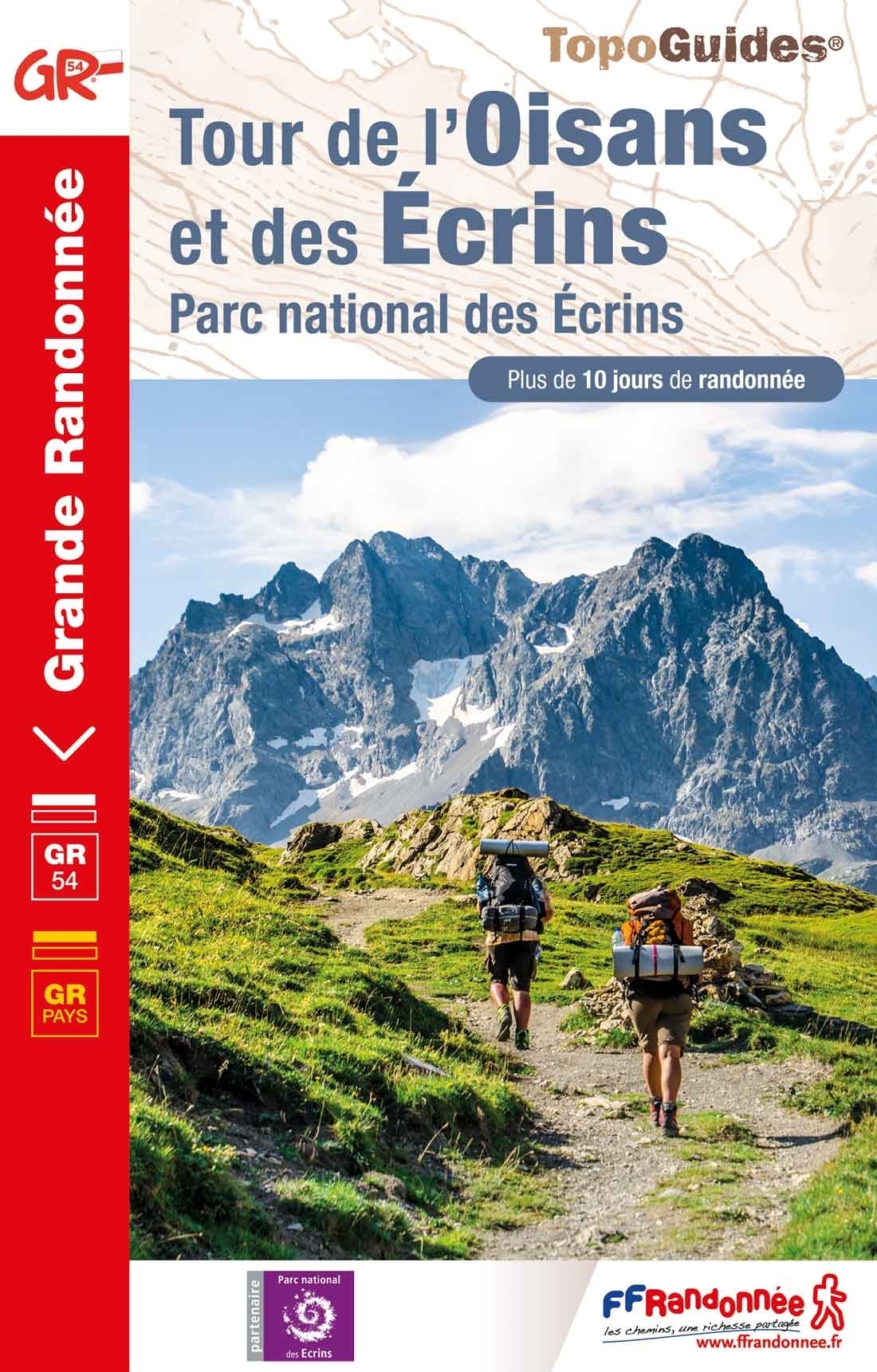
- Name GR54 - Tour de l'Oisans et des Écrins (GR54)
- Distancia de sendero 176 km, 109 millas
- Duración en días 12 días
- Inicio de sendero Le Bourg d'Oisans
- Fin de sendero Le Bourg d'Oisans
- Clasificación Traildino SW, Caminata extenuante, sendero de montaña
- Clasificación Travesía de refugios T2, Caminata de montaña
 Écrins, 10 days
 This GR50 is a circular trail in the higher parts of the Parc National des Écrins, France's oldest national park, between Briançon and Gap. This ten days hike is strenuous, but there are no difficult stretches.
Mapa

Enlaces
Datos
Informes
Guías y mapas
Hospedaje
Organizaciones
Operadores turísticos
GPS
Otro
Libros

Stanfords
United Kingdom
2021
United Kingdom
2021
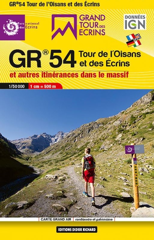
- Tour de l`Oisans et des Ecrins - Parc National des Ecrins GR54/GR541
- Tour de l`Oisans et des Ecrins, FFRP topoguide, Ref. No. 508, covering the 11 to 13 days long tour of the Ecrins massif along the GR54, including the local section of the GR5. Variants along GRs 54A, 54B, 54C, and 541 offer less demanding circuits of two to three days. Current edition of this title was published in April 2014.To see other... Leer más

Stanfords
United Kingdom
2019
United Kingdom
2019
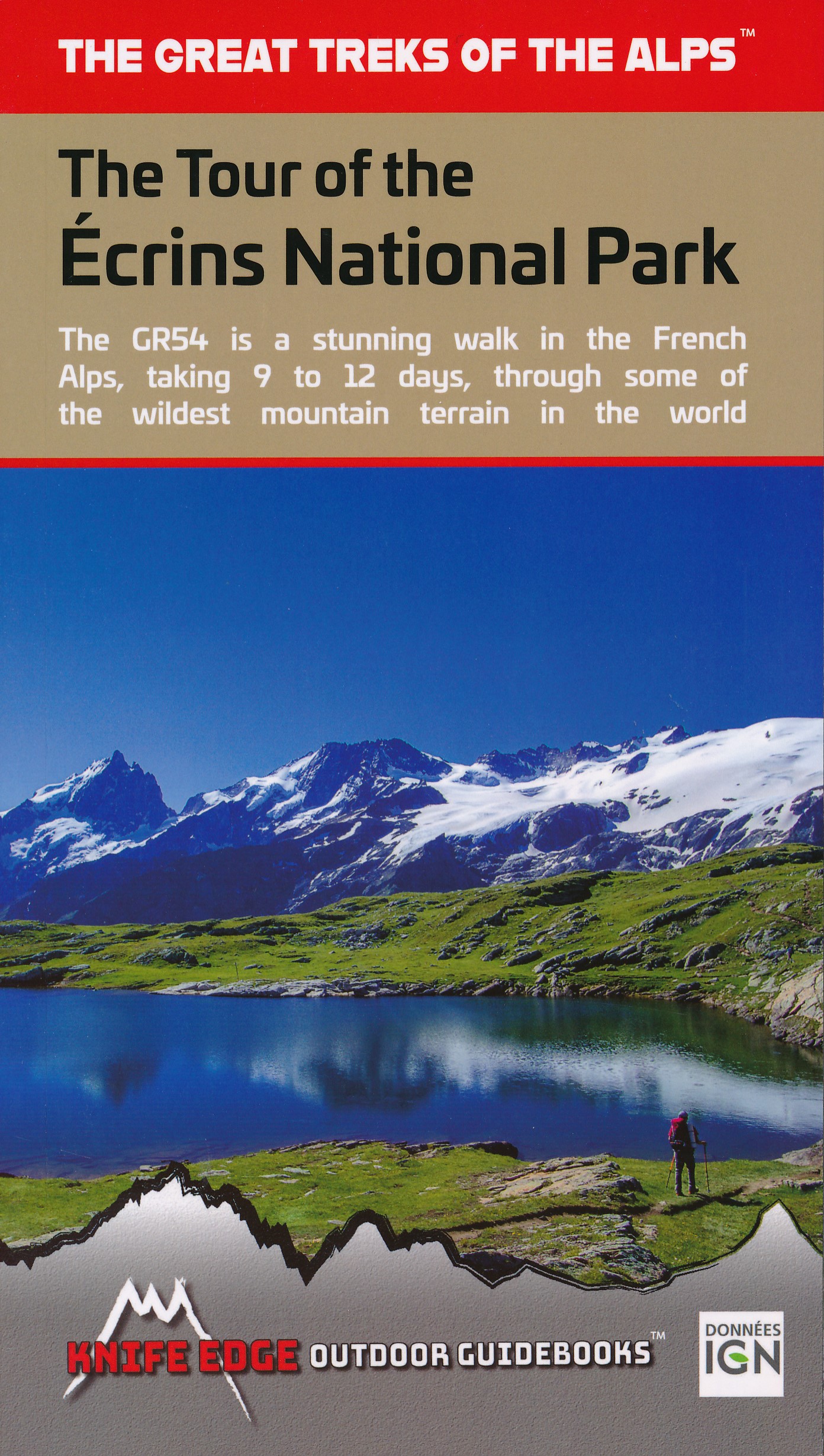
- The Tour of the Ecrins National Park: GR54
- The complete guidebook for the Tour of the Ecrins National Park (GR54) in the French Alps. The only guidebook with Real 1:25,000 Maps: proper mapping included for each stage. This makes navigation easy and saves you money: no need to buy additional maps. Also includes: -Unique Itinerary Planner: plan a bespoke itinerary to match your ability... Leer más
- Also available from:
- The Book Depository, United Kingdom
- De Zwerver, Netherlands

De Zwerver
Netherlands
2019
Netherlands
2019
Bol.com
Netherlands
2008
Netherlands
2008
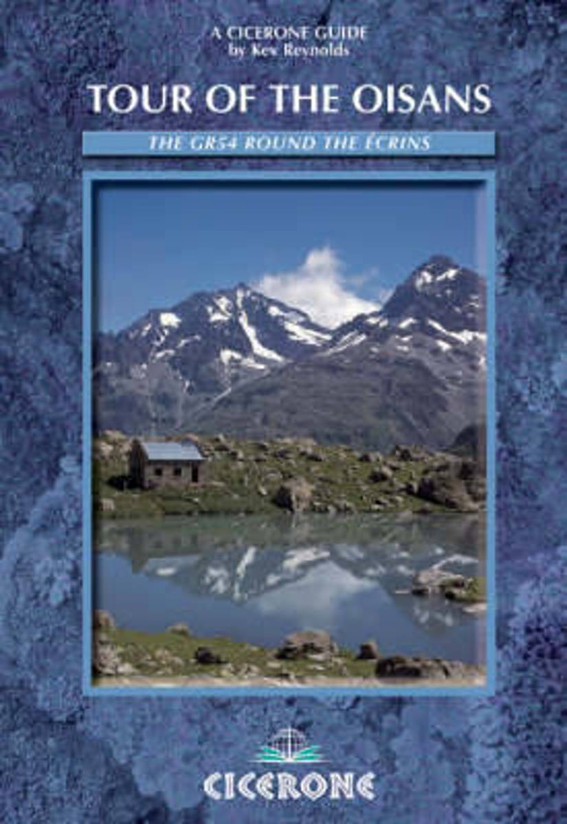
- Tour of the Oisans
- The Tour of the Oisans on the GR54 is a challenging two-week trek around the Ecrins National Park (southeast of Grenoble) in France, one of the most visually spectacular regions in all the Alps. Beginning in Bourg d'Oisans, the route folows a clockwise direction, and in the course of 10-13 days it covers 176km and climbs more than 12,800m to... Leer más
- Also available from:
- Bol.com, Belgium
Bol.com
Belgium
2008
Belgium
2008
- Tour of the Oisans
- The Tour of the Oisans on the GR54 is a challenging two-week trek around the Ecrins National Park (southeast of Grenoble) in France, one of the most visually spectacular regions in all the Alps. Beginning in Bourg d'Oisans, the route folows a clockwise direction, and in the course of 10-13 days it covers 176km and climbs more than 12,800m to... Leer más

Bol.com
Netherlands
Netherlands
- Mountain Days at Home and Abroad
- 'Mountain Days at Home and Abroad' is a lively account of the author's adventures in the mountains over a period of some 40 years, starting from the early days when he took part in annual mountain challenges and volunteered as an instructor on various Hill Walking and Climbing courses run by the Scouts from the old railway station at... Leer más
- Also available from:
- Bol.com, Belgium
Bol.com
Belgium
Belgium
- Mountain Days at Home and Abroad
- 'Mountain Days at Home and Abroad' is a lively account of the author's adventures in the mountains over a period of some 40 years, starting from the early days when he took part in annual mountain challenges and volunteered as an instructor on various Hill Walking and Climbing courses run by the Scouts from the old railway station at... Leer más
Más libros…
Mapas

Stanfords
United Kingdom
United Kingdom
- Ecrins Massif Wall Map
- Massif des Ecrins presented at 1:25,000 on an encapsulated waterproof wall map, size 100 x 132cm (39.5” x 52” approx), with cartography of IGN’s excellent TOP25 series. The map combines most of TOP25 maps 3336ET and 3436ET, with coverage extending from the Lac du Chambon, La Grave and Col du Lautaret in the north to the Refuge du Clot and... Leer más

Stanfords
United Kingdom
2012
United Kingdom
2012
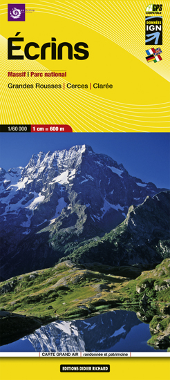
- Écrins Massif National Park Didier Richard 05
- Écrins Massif and the National Park in the French Alps at 1:60,000 on a contoured and GPS compatible map from Didier Richard with a base derived from IGN’s topographic survey, highlighting both local hiking routes and the GR network of long-distance paths, gîtes and mountain refuges, interesting natural and cultural sites, etc. The map extends... Leer más
- Also available from:
- De Zwerver, Netherlands
De Zwerver
Netherlands
2020
Netherlands
2020
- Wandelkaart 05 Ecrins Massif | Didier Richard
- Gebaseerd op de topografische gegevens van IGN (de Franse topografische dienst) heeft deze kaartenserie een uitstekend kaartbeeld van delen van de bekende wandelgebieden van Frankrijk. Hoogtelijnen, gebruik van schaduw en kleur, de leesbaarheid: prima kaart! De GR en GRP routes staan ingetekend, maar ook de kleinere wandelpaden. Symbolen voor... Leer más
Más mapas…