
Schwarzwald
Descripción

The Black Forest, or Schwarzwald, is named after the huge firs that cover vast contiguous areas. If you don't like pine, then the Black Forest might not be the best destination for you. The west of Germany's most impressive mountain range – next to the Alps - is the most forested. Here you will find the highest tops and the best views. Highest mountain is the Feldberg, 1493m. The Westweg links the best parts together.
To the east, the terrain become flatter, and there is more alternation with farmland. The Ostweg introduces you to this lesser known part of the Black Forest. Here you will walk closer to the Danube than to the Rhine, and the views extend to the Swabian Jura.
Above we already mentioned two of the most famous hiking trails: the Westweg, founded in 1900, and the Ostweg. In between is the Mittelweg. All three long distance paths start in Pforzheim and fan southward to finish at river Rhine near the Swiss border.
There are also about 20 other fantastic long distance footpaths. These follow beautiful valleys, have certain themes, or cross the mountains from west to east. The best place to start your search for information is the website of the Schwarzwaldvereins.
Day hikers will be happy too. Everywhere they will find well documented and marked hiking trails.
Tourism – including walking tourism - has a long history in the Black Forest. Hotels and Gasthäuser have been in existence for often more than a century, handed over from one generation to the next. In every village and on every mountain you'll find something, usually opan all year. There are also some 30 Wanderheime, uncostly and pleasant accommodations.
Senderos en región
- Breisgauer WeinwegGPX
- E1GPX
- E8GPX
- GäurandwegGPX
- Gernsbacher RundeGPX
- Hansjakobweg I (Kleiner Hansjakobweg)GPX
- Hansjakobweg II (Großer Hansjakobweg)GPX
- Hochrhein HöhenwegGPX
- Hotzenwald QuerwegGPX
- Jakobsweg Breisach - Cluny
- Jakobsweg Waldshut-Vézelay
- Kandel HöhenwegGPX
- Main-Neckar-RheinwegGPX
- Markgräfler Wiwegli
- MittelwegGPX
- MurgleiterGPX
- Ortenauer WeinpfadGPX
- OstwegGPX
- Panoramaweg Baden-BadenGPX
- Querweg Freiburg-BodenseeGPX
- Querweg Gengenbach-Alpirsbach
- Querweg Lahr-RottweilGPX
- Querweg Schwarzwald-Kaiserstuhl-RheinGPX
- RenchtalsteigGPX
- RheinauenwegGPX
- SchluchtensteigGPX
- Schwarzwald Nordrand WegGPX
- Schwarzwald-Jura-Bodensee-WegGPX
- Schwarzwald-Schwäbische Alb-Allgäu-WegGPX
- WestwegGPX
- ZweitälersteigGPX
Enlaces
Datos
Informes
Guías y mapas
Hospedaje
Organizaciones
Operadores turísticos
GPS
Otro
Libros

United Kingdom
- Twelve Nights
- Discover this beautiful winter gem of a novella that makes the perfect stocking filler this Christmas.`I may have been gone a long time, but I`m no stranger...` Manfred walks alone through a snowy valley, surrounded by his memories, on a pilgrimage of sorts to his childhood home. He`s been estranged from his brother Sebastian for decades, ever... Leer más

United Kingdom
- DK Eyewitness Road Trips Germany
- With its scenic towns, romantic medieval cities and evocative landscapes, Germany is the perfect destination for a leisurely road trip. It`s yours to explore with Road Trips Germany, our redesigned and newly updated guide containing 24 drives across the country, from the winding Baltic Coast to the remote valleys of the Black Forest. Packed... Leer más

United Kingdom
2019
- Also available from:
- De Zwerver, Netherlands


United Kingdom
- Hiking and Cycling in the Black Forest: Walks, treks and cycle rides in southern Germany
- 15 day walks, 3 multi-stage treks and 5 cycle routes are described covering the north, central and southern areas of Germany`s Black Forest. The walks and cycle routes are evenly distributed across all three areas and comprise both long distance routes and day walks, although each stage of every long distance walk can also be done as individual... Leer más
- Also available from:
- The Book Depository, United Kingdom

United Kingdom
- Hiking and Cycling in the Black Forest
- Walks, treks and cycle rides in southern Germany Leer más
Netherlands
2012
- Wandelgids Schwarzwald Nord, Mitte - Zwarte Woud | Rother Bergverlag
- De Rother wandelgidsen beschrijven zeer goed de wandelingen in specifieke gebieden. In de gids vindt men kaarten, routebeschrijvingen en de nodige praktische informatie om van de wandelingen/trekkings een geslaagde onderneming te maken. Die drei großen Fernwanderwege im Schwarzwald sind weit über die Landesgrenzen hinaus bekannt. Sie werden... Leer más

Netherlands
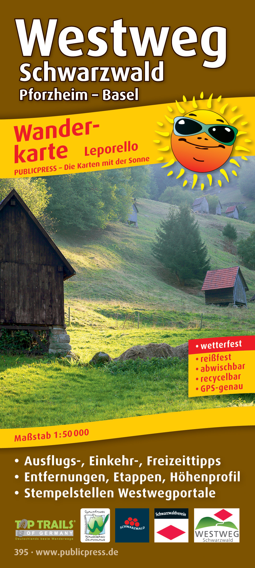
- Wandelkaart 395 Westweg Schwarzwald | Publicpress
- Mit Ausflugszielen, Einkehr- Freizeittipps, GPS-genau. 4. Auflage. Leer más
Netherlands
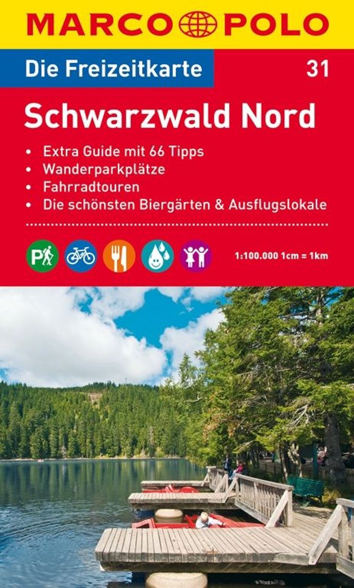
- Marco Polo FZK31 Zwarte Woud Noord
- Een kaart en een reisgids in een handige omslag van stevig plastic, Op de kaart worden bezienswaardigheden aangegeven en heel kort beschreven met een afbeelding erbij, In de gids is de gedetailleerde informatie te vinden, Ook de op de kaart gemarkeerde wandel- en fietstochten worden in de gids beschreven, Door de gebruikte kleuren is alle... Leer más
- Also available from:
- Bol.com, Belgium
Belgium
- Marco Polo FZK31 Zwarte Woud Noord
- Een kaart en een reisgids in een handige omslag van stevig plastic, Op de kaart worden bezienswaardigheden aangegeven en heel kort beschreven met een afbeelding erbij, In de gids is de gedetailleerde informatie te vinden, Ook de op de kaart gemarkeerde wandel- en fietstochten worden in de gids beschreven, Door de gebruikte kleuren is alle... Leer más
Netherlands
- Coast When YA Kin
- Join me on my bicycle travels in this recollection of my 30 years of long-distance cycling. Climb some of Americas highest mountain ranges, turn the pedals along North Americas coasts and rivers, battle the relentless heat and mosquitoes of the western plains. Don't stop there. Ride the Danube River from Black Forest to Black Sea. Visit the... Leer más
- Also available from:
- Bol.com, Belgium
Belgium
- Coast When YA Kin
- Join me on my bicycle travels in this recollection of my 30 years of long-distance cycling. Climb some of Americas highest mountain ranges, turn the pedals along North Americas coasts and rivers, battle the relentless heat and mosquitoes of the western plains. Don't stop there. Ride the Danube River from Black Forest to Black Sea. Visit the... Leer más
Netherlands
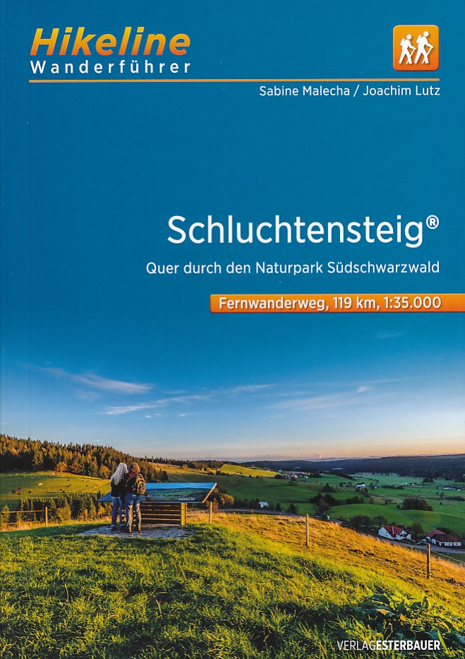
- WF5419 Schluchtensteig im Naturpark Südschwarzwald Kompass
- De Kompass wandelgids + kaart geeft een overzicht van alle wandelroutes in het gebied met nauwkeurige routeaanwijzingen en hoogteaanduidingen, De extra grote kaart, schaal 1:35 000, is ideaal om van te voren uw route uit te stippelen en om onderweg te gebruiken • naast de bekende bestemmingen, worden ook de minder bekende vermeld • openbaar... Leer más
- Also available from:
- Bol.com, Belgium
Belgium
- WF5419 Schluchtensteig im Naturpark Südschwarzwald Kompass
- De Kompass wandelgids + kaart geeft een overzicht van alle wandelroutes in het gebied met nauwkeurige routeaanwijzingen en hoogteaanduidingen, De extra grote kaart, schaal 1:35 000, is ideaal om van te voren uw route uit te stippelen en om onderweg te gebruiken • naast de bekende bestemmingen, worden ook de minder bekende vermeld • openbaar... Leer más
Netherlands
2023
Netherlands
2019
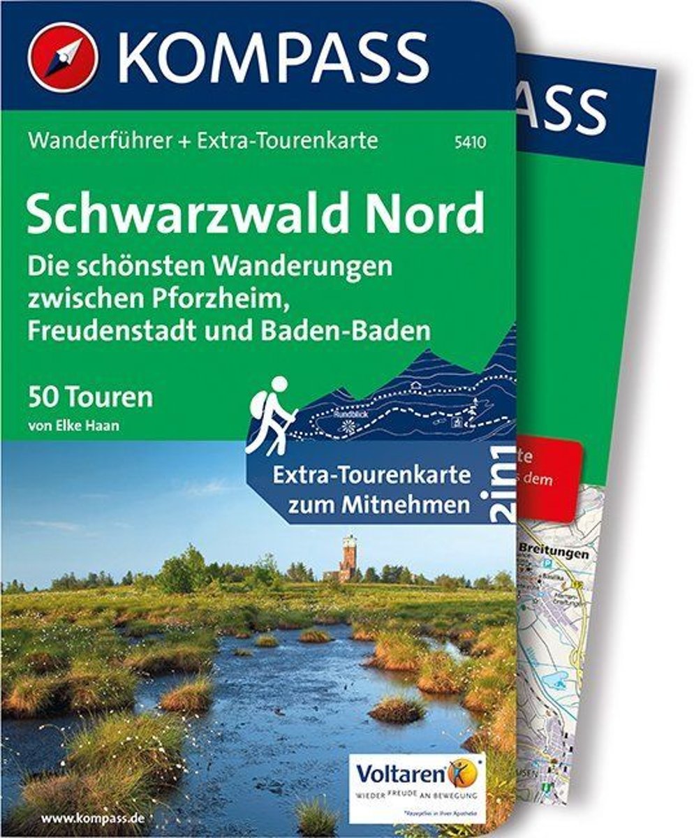
- WF5410 Zwarte Woud Noord Kompass
- De Kompass wandelgids + kaart geeft een overzicht van alle wandelroutes in het gebied met nauwkeurige routeaanwijzingen en hoogteaanduidingen, De extra grote kaart, schaal 1:35 000, is ideaal om van te voren uw route uit te stippelen en om onderweg te gebruiken • naast de bekende bestemmingen, worden ook de minder bekende vermeld • openbaar... Leer más
- Also available from:
- Bol.com, Belgium
Belgium
2019
- WF5410 Zwarte Woud Noord Kompass
- De Kompass wandelgids + kaart geeft een overzicht van alle wandelroutes in het gebied met nauwkeurige routeaanwijzingen en hoogteaanduidingen, De extra grote kaart, schaal 1:35 000, is ideaal om van te voren uw route uit te stippelen en om onderweg te gebruiken • naast de bekende bestemmingen, worden ook de minder bekende vermeld • openbaar... Leer más
Netherlands
- Frommer's Germany
- Features color photos of the dazzling baroque architecture, picturesque villages, and beer gardens in Germany. This title covers the country's highlights - music festivals, hiking in the Black Forest, Oktoberfest, cafes, castles, and Berlin's vibrant, and cultural scene. Leer más
- Also available from:
- Bol.com, Belgium
Belgium
- Frommer's Germany
- Features color photos of the dazzling baroque architecture, picturesque villages, and beer gardens in Germany. This title covers the country's highlights - music festivals, hiking in the Black Forest, Oktoberfest, cafes, castles, and Berlin's vibrant, and cultural scene. Leer más
Mapas

United Kingdom
- Colline di Rimini
- Map No. 124, Colline di Rimini, in a series of GPS compatible hiking maps at 1:50,000 from the Istituto Geografico Adriatico, covering parts of central Italy: eastern Tuscany, with northern Umbria and the Marches, plus the south-eastern of part of Emilia-Romagna. This title covers the holiday resorts on the Adriatic coast around Rimini,... Leer más

United Kingdom
- Middle Black Forest - Strasbourg
- Black Forest Middle – Strasbourg on a waterproof, tear-resistant, GPS compatible cycling map at 1:75,000 from the ADFC (Allgemeiner Deutscher Fahrrad-Club - the official German cycling federation), in a series of maps with extensive overprint for long-distance and local cycling routes. GPS waypoints, route profiles, details of online links for... Leer más

United Kingdom
- Baden-Baden - Murgtal - Gaggenau Kompass 872
- Baden-Baden – Murgtal area of the Black Forest in a detailed, GPS compatible map at 1:50,000 from Kompass with local and long-distance footpaths, cycling routes, accommodation, etc, printed on durable, waterproof and tear-resistant synthetic paper. KOMPASS HIKING & RECREATIONAL MAPS:This title is part of an extensive series covering Austria,... Leer más
United Kingdom
- Alta Valle del Metauro: Valle del Candigliano, Monte Nerone, Monte Catria
- Map No. 122, Alta Valle del Metauro: Valle del Candigliano, Monte Nerone, Monte Catria, in a series of GPS compatible hiking maps at 1:50,000 from the Istituto Geografico Adriatico, covering parts of central Italy: eastern Tuscany, with northern Umbria and the Marches, plus the south-eastern of part of Emilia-Romagna.The maps have contours at... Leer más

United Kingdom
- Black Forest Rivers Cycling Routes Bikeline Map-Guide
- Black Forest Rivers Cycling Routes guide from Verlag Esterbauer covering 670kms of cycle routes along the Murg, the Kinzig, the Enz and the Nagold, as well as the Black Forest Panorama route, with maps at 1:75,000 showing the routes and their variants. Extensive information is conveyed by symbols, indicating road surface, campsites and other... Leer más

United Kingdom
- Monti Sibillini National Park Edizioni Multigraphic 60/61
- Monti Sibillini National Park at 1:25,000 on a double-sided contoured map from Edizioni Multigraphic highlighting local waymarked hiking routes including the GAS – Grand Anello dei Sibilini, the circular tour around the mountains.The map has contours at 25m intervals with colouring for woodlands. Waymarked routes are highlighted and annotated... Leer más

United Kingdom
- Neckar Valley Cycle Route - Source to Mannheim Bikeline Map-Guide
- Neckar Cycle Route, a 367-km long cycle route from the source of the Neckar in the Black Forest across Stuttgart and Heidelberg to the Rhine at Mannheim, presented by the Verlag Esterbauer in a guide with maps at 1:50,000 showing the route and its variants. Extensive information is conveyed by symbols, indicating road surface, campsites and... Leer más

United Kingdom
- Feldberg - Upper Black Forest - Titisee K+F Outdoor Map 26
- Black Forest: Feldberg - Hochschwarzwald area at 1:35,000 from Kümmerly+Frey in a series GPS compatible, double-sided maps printed on durable, waterproof and tear-resistant plastic paper; contoured, with hiking and cycle routes, other recreational activities, etc. Maps in this series are at a scale of either 1:50,000 or 1:35,000. Contour... Leer más

United Kingdom
- Black Forest: Central and Northern Black Forest Cycle Tour (260km) Bikeline Map/Guide
- Northern and Central Black Forest Cycle Tour, a 260-km long route, presented by Verlag Esterbauer in a guide with maps at 1:50,000. The route nests between the Rhine in the west and the Neckar in the east, and extends from the Kinzig Valley in the south northwards to just short of Karlsruhe and Pforzheim. Extensive information is conveyed by... Leer más

United Kingdom
- Alta Valle del Santerno 23
- Map No. 22, Alta Valle del Lamone: Alto Appennino Faentino – Anello di Marradi, in series of contoured, GPS compatible hiking maps at 1:25,000 from the Istituto Geografico Adriatico, covering mainly the spine of the Apennines along the borders of Tuscany, Emilia-Romagna, Umbria and the Marches.Map in this series have contours at 25m intervals... Leer más
United Kingdom
- Colline di Forlí
- Map No. 127, Colline di Forlí, in a series of GPS compatible hiking maps at 1:50,000 from the Istituto Geografico Adriatico, covering parts of central Italy: eastern Tuscany, with northern Umbria and the Marches, plus the south-eastern of part of Emilia-Romagna.The maps have contours at 50m intervals with additional shading and numerous spot... Leer más
United Kingdom
- Alpe della Luna 17
- Map No. 16, Monte Carpegna - Sasso di Simone, in series of contoured, GPS compatible hiking maps at 1:25,000 from the Istituto Geografico Adriatico, covering mainly the spine of the Apennines along the borders of Tuscany, Emilia-Romagna, Umbria and the Marches.Map in this series have contours at 25m intervals with additional shading and... Leer más
United Kingdom
- Black Forest Complete 4-Map Set Kompass 888
- The whole of the Black Forest on a set of four double-sided, GPS compatible and contoured maps at 1:50,000 from Kompass with local and long-distance footpaths, cycling routes, accommodation, etc. Coverage extends from Ratstatt and Pforzheim north of Baden-Baden to Basel and the east/west section of the Rhine.KOMPASS HIKING & RECREATIONAL MAPS:... Leer más

United Kingdom
- St. Blasien - Todtmoos - Hotzenwald - NP South Black Forest Kompass 898
- St. Blasien - Todtmoos - Hotzenwald in the southern Black Forest on a detailed, GPS compatible map at 1:25,000 from Kompass with local and long-distance footpaths, cycling routes, accommodation, etc, printed on durable, waterproof and tear-resistant synthetic paper.KOMPASS HIKING & RECREATIONAL MAPS: this title is part of an extensive series... Leer más

United Kingdom
- Southern Black Forest Cycle Tour (240km) Bikeline Map/Guide
- Southern Black Forest Cycle Tour, a 240-km long route around the Black Forest Nature Park starting in Freiburg and including Titsee, Waldshut-Tiengen, Basel and the German bank of the Rhine, presented by the Verlag Esterbauer in guide with maps at 1:50,000 showing the route and its variants. Extensive information is conveyed by symbols,... Leer más