
Eifel
Descripción
Low mountain range in Germany, states of Rheinland-Pfalz and Nordrhein-Westfalen. Small parts extending into Luxembourg and Belgium.
Senderos en región
- Ahr-Venn-WegGPX
- AhrtalwegGPX
- E3GPX
- EifelsteigGPX
- Erft-Lieser-Mosel-Weg GPX
- GR15 - AE - Ardennes-EifelGPX
- GR5GPX
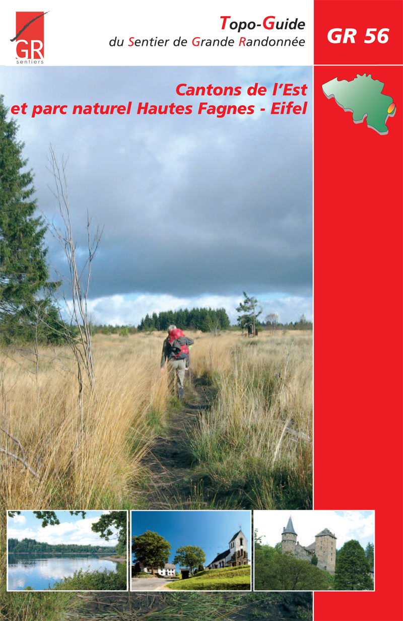
- GR56 - Hautes Fagnes - EifelGPX
- Josef-Schramm-Weg GPX
- Karl-Kaufmann-WegGPX
- KarolingerwegGPX
- KrönungswegGPX
- LieserpfadGPX
- MatthiaswegGPX
- MoselhöhenwegGPX
- MoselsteigGPX
- Rhein-Kyll-WegGPX
- Rhein-Rureifel-Weg GPX
- RheinhöhenwegGPX
- Rhine-Meuse Trail
- Rotwein WanderwegGPX
- VulkanwegGPX
- Wanderweg der Deutschen EinheitGPX
- Wildnis TrailGPX
- WillibrorduswegGPX
Enlaces
Datos
Informes
Guías y mapas
Hospedaje
Organizaciones
Operadores turísticos
GPS
Otro
Libros

The Book Depository
United Kingdom
2018
United Kingdom
2018
- The GR5 Trail - Benelux and Lorraine
- The North Sea to Schirmeck in the Vosges mountains Leer más
- Also available from:
- De Zwerver, Netherlands

De Zwerver
Netherlands
2018
Netherlands
2018
- Wandelgids The GR5 Trail Benelux and Lorraine | Cicerone
- Guidebook to walking the northern section of the GR5 - 1000km starting in Hoek van Holland and passing through the Netherlands, Belgium, Luxembourg and Lorraine to Schirmeck in France. A long-distance route covering a variety of cultures and landscapes. The full GR5 from the North Sea to the Mediterranean is one of the world's greatest trails. Leer más

- Also available from:
- De Zwerver, Netherlands

De Zwerver
Netherlands
2021
Netherlands
2021

- Also available from:
- De Zwerver, Netherlands


- Also available from:
- De Zwerver, Netherlands
De Zwerver
Netherlands
2021
Netherlands
2021
Bol.com
Netherlands
2018
Netherlands
2018
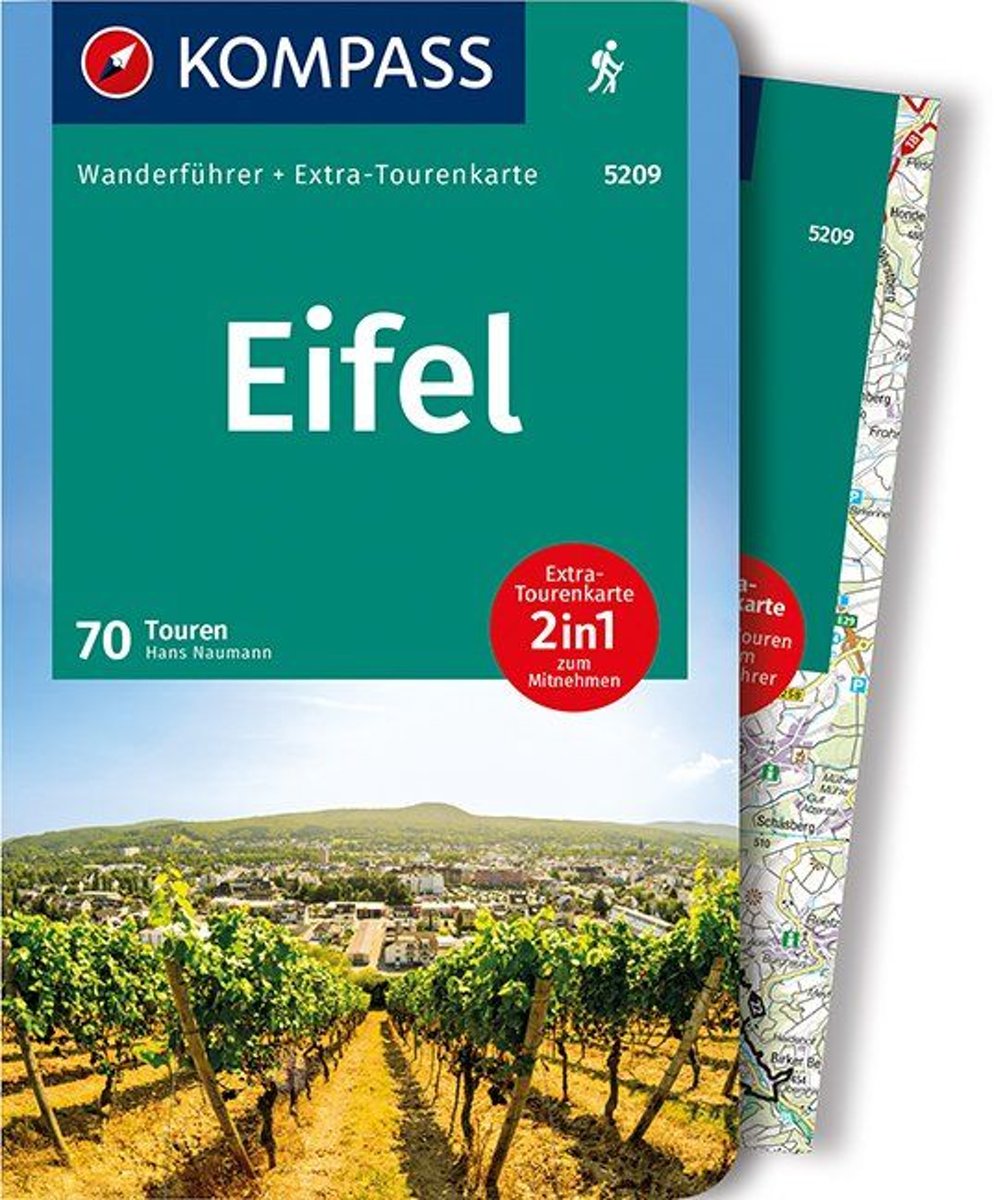
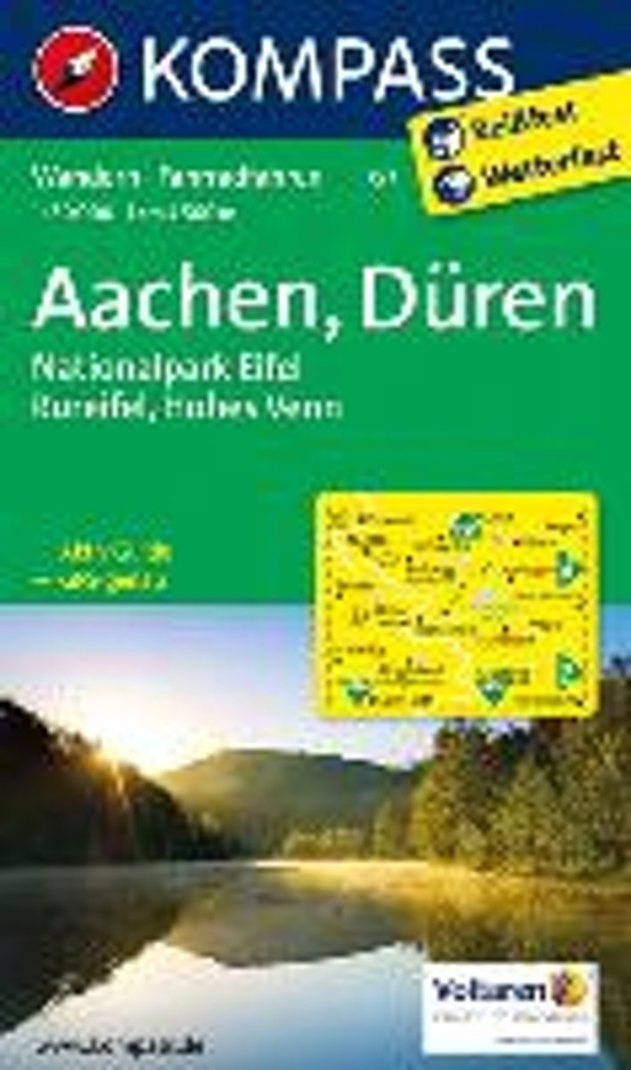
- WF5209 Eifel Kompass
- De Kompass wandelgids + kaart geeft een overzicht van alle wandelroutes in het gebied met nauwkeurige routeaanwijzingen en hoogteaanduidingen, De extra grote kaart, schaal 1:35 000, is ideaal om van te voren uw route uit te stippelen en om onderweg te gebruiken • naast de bekende bestemmingen, worden ook de minder bekende vermeld • openbaar... Leer más
- Also available from:
- Bol.com, Belgium
Bol.com
Belgium
2018
Belgium
2018
- WF5209 Eifel Kompass
- De Kompass wandelgids + kaart geeft een overzicht van alle wandelroutes in het gebied met nauwkeurige routeaanwijzingen en hoogteaanduidingen, De extra grote kaart, schaal 1:35 000, is ideaal om van te voren uw route uit te stippelen en om onderweg te gebruiken • naast de bekende bestemmingen, worden ook de minder bekende vermeld • openbaar... Leer más
De Zwerver
Netherlands
2021
Netherlands
2021
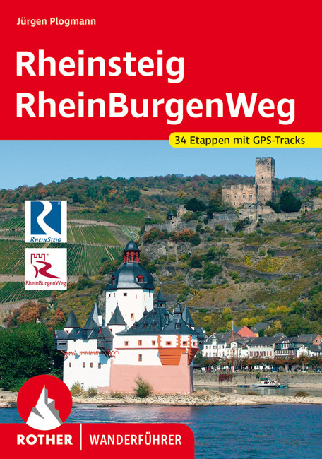
- Wandelgids Rheinsteig mit Rheinburgenweg und Rheinhöhenwegen | Rother Bergverlag
- Der romantische Mittelrhein zwischen Mainz/Wiesbaden und Bonn ist eine der spektakulärsten Landschaften Deutschlands und UNESCO-Welterbe. Neben dem Erleben der Natur trifft der Wanderer am Rhein auf viel Kultur, sehenswerte mittelalterliche Städte und die weltweit größte Burgendichte. In diesem Rother Wanderführer werden die wichtigsten... Leer más

De Zwerver
Netherlands
2020
Netherlands
2020
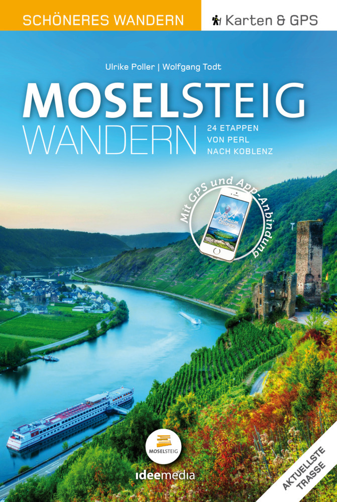
- Wandelgids Moselsteig | IdeeMedia
- 24 traumhafte Etappen auf Deutschlands jüngstem Fernwanderweg Leer más

De Zwerver
Netherlands
2022
Netherlands
2022
Bol.com
Netherlands
2011
Netherlands
2011
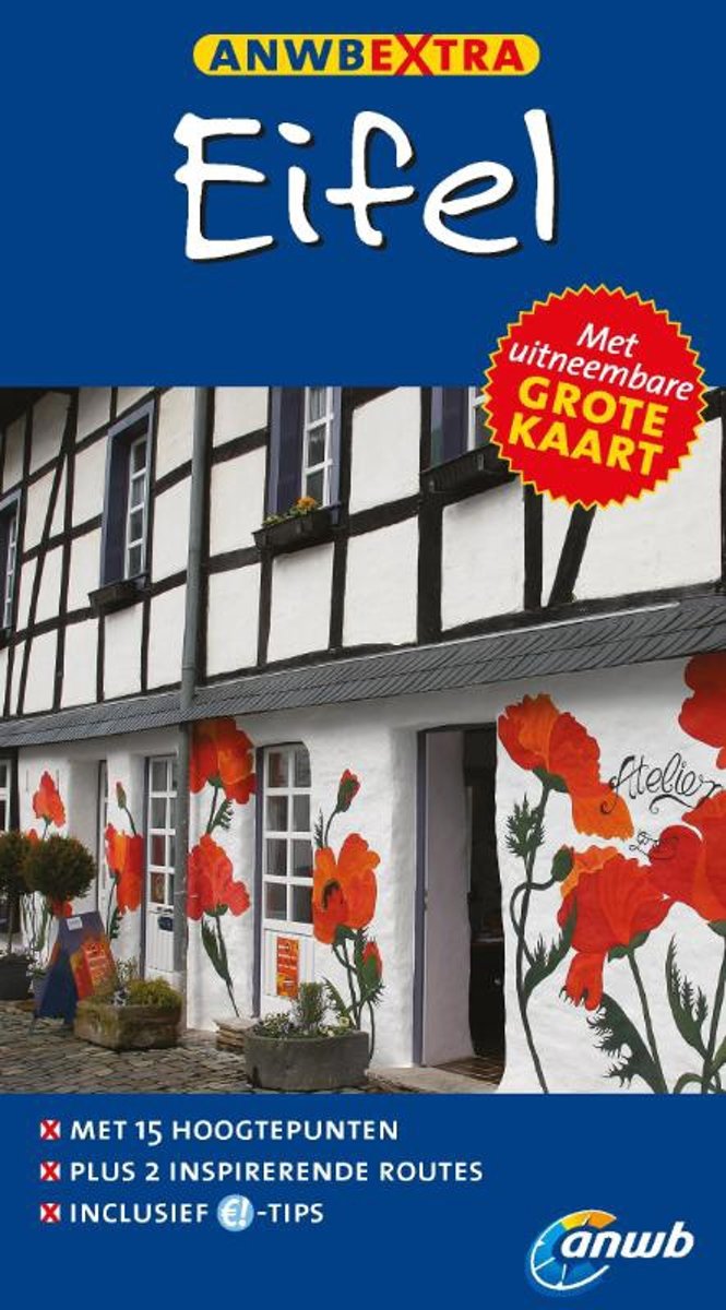
- Anwb Extra Eifel
- ANWB Extra reisgids EifelOntdek de Eifel met de compacte reisgids ANWB Extra Eifel! Tussen Aken, Mayen en Bitburg ligt een van de dunst bevolkte gebieden van Duitsland. Met een uitgebreid net van wandel- en fietspaden en een grote variatie in het landschap is het een perfecte streek voor een week fietsen of wandelen. De ANWB Extra reisgids... Leer más
- Also available from:
- Bol.com, Belgium
Bol.com
Belgium
2011
Belgium
2011
- Anwb Extra Eifel
- ANWB Extra reisgids EifelOntdek de Eifel met de compacte reisgids ANWB Extra Eifel! Tussen Aken, Mayen en Bitburg ligt een van de dunst bevolkte gebieden van Duitsland. Met een uitgebreid net van wandel- en fietspaden en een grote variatie in het landschap is het een perfecte streek voor een week fietsen of wandelen. De ANWB Extra reisgids... Leer más

Bol.com
Netherlands
Netherlands
- Journey Through Thuringia
- From fantastic sandy beaches to idyllic vineyards and ancient churches, this series travels through some of the most beautiful locales in Western Europe. Three picturesque German cities are explored, from East Frisia s tidal flats and the prestigious palaces of Stuttgart to the famous temples of Thuringia. A captivating tour through the Eifel... Leer más
- Also available from:
- Bol.com, Belgium
Bol.com
Belgium
Belgium
- Journey Through Thuringia
- From fantastic sandy beaches to idyllic vineyards and ancient churches, this series travels through some of the most beautiful locales in Western Europe. Three picturesque German cities are explored, from East Frisia s tidal flats and the prestigious palaces of Stuttgart to the famous temples of Thuringia. A captivating tour through the Eifel... Leer más
Bol.com
Netherlands
2013
Netherlands
2013
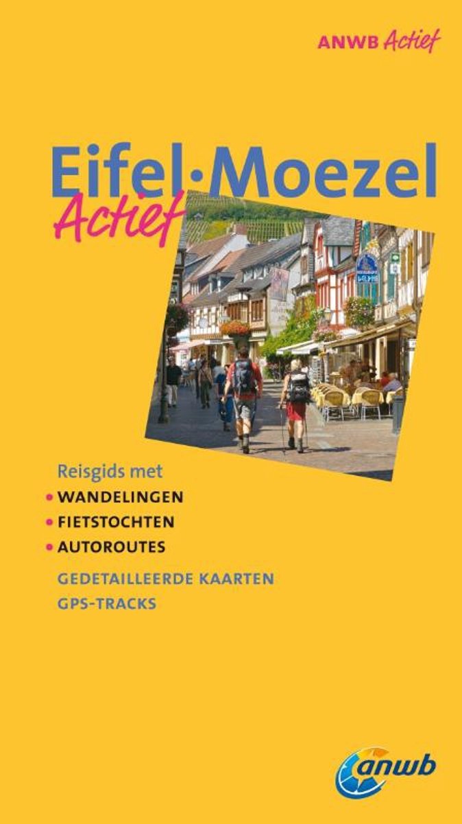
- Eifel, Moezel actief
- ANWB Actief onderscheidt zich van andere reisgidsen door 30 dagtochten. Bij elke dagtocht worden de moeilijkheidsgraad, duur, lengte en horeca vermeld. Alle tochten zijn voorzien van duidelijke, gedetailleerde kaarten. Bovendien kunnen van alle wandel- en fietsroutes GPS-tracks worden gedownload. De beginpunten van de routes zijn voorzien van... Leer más
- Also available from:
- Bol.com, Belgium
Bol.com
Belgium
2013
Belgium
2013
- Eifel, Moezel actief
- ANWB Actief onderscheidt zich van andere reisgidsen door 30 dagtochten. Bij elke dagtocht worden de moeilijkheidsgraad, duur, lengte en horeca vermeld. Alle tochten zijn voorzien van duidelijke, gedetailleerde kaarten. Bovendien kunnen van alle wandel- en fietsroutes GPS-tracks worden gedownload. De beginpunten van de routes zijn voorzien van... Leer más
Mapas

Stanfords
United Kingdom
United Kingdom
- Luxembourg North
- One of two topographic survey maps of Luxembourg at 1:50,000, with contours at 10-metres intervals and additional relief shading. An overprint highlights long-distance footpaths, including the GR5 (E-2), cycle routes, and various places of interest, including campsites. The map covers an area of approximately 53 x 43 km / 33 x 27 miles. Map... Leer más

Stanfords
United Kingdom
United Kingdom
- Luxembourg South
- One of two topographic survey maps of Luxembourg at 1:50,000, with contours at 10-metres intervals and additional relief shading. An overprint highlights long-distance footpaths, including the GR5 (E-2), cycle routes, and various places of interest, including campsites. The map covers an area of approximately 53 x 43 km / 33 x 27 miles. Map... Leer más

- Also available from:
- De Zwerver, Netherlands
De Zwerver
Netherlands
2021
Netherlands
2021

- Also available from:
- De Zwerver, Netherlands


- Also available from:
- De Zwerver, Netherlands
De Zwerver
Netherlands
Netherlands
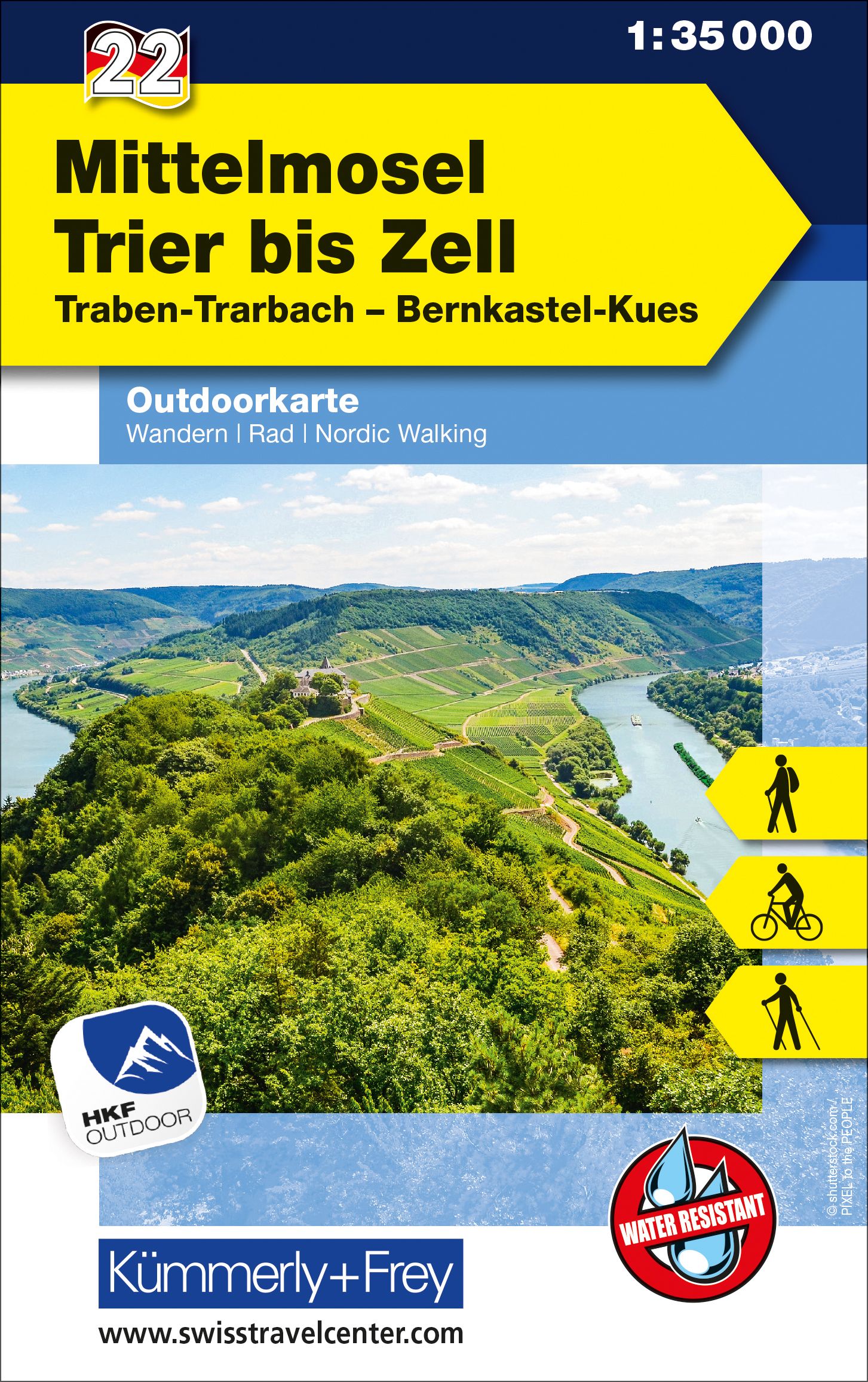
- Wandelkaart 30 Mosel | Eifelverein
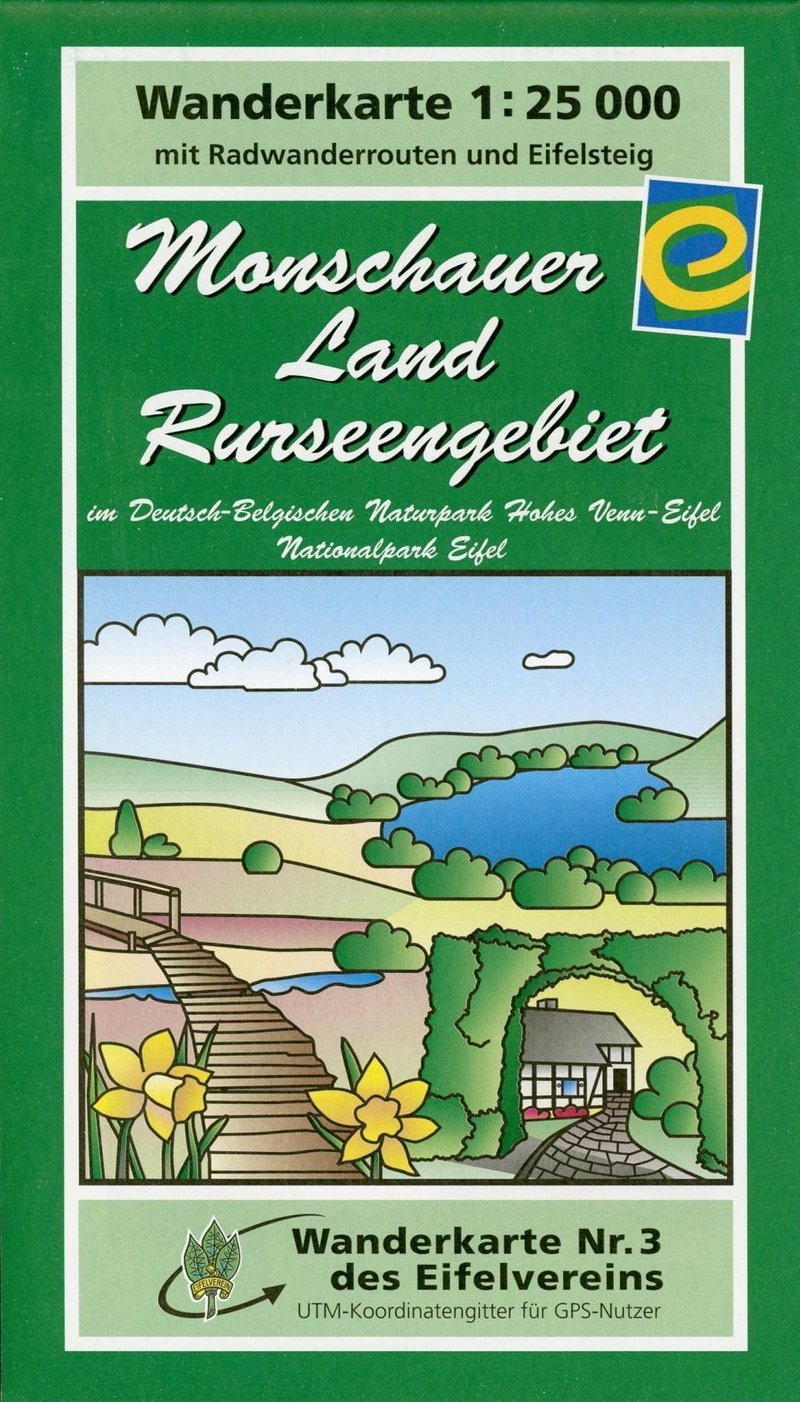
- Wandelkaart van een deelgebied van de Eifel. Deze kaarten worden uitgegeven door de zeer actieve Eifelverein. Deze vereniging houdt zich onder andere bezig met de wandelroutes in het gebied: op bijna elke boom in de Eifel vind je wel een teken! De kaarten zijn nauwkeurig en gedetaileerd, met ingetekende wandelroutes maar ook symbolen voor... Leer más
De Zwerver
Netherlands
Netherlands
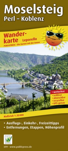
- Wandelkaart Moselsteig | Publicpress
- Beschreven met veel praktische informatie en bezienswaardigheden onderweg. Erg handig uitgevoerd in water- en scheurvast plastic en in praktisch uitklapformaat! Der Qualitätswanderweg führt auf seinen 365 km Länge von Perl nach Koblenz entlang der Mosel durch eine der schönsten Kulturlandschaften Europas. Geprägt wird sie vom Wein, einer über... Leer más


De Zwerver
Netherlands
Netherlands
- Wandelkaart 6 Pirin gebergte | Domino
- Pirin Mountains at 1:50,000 on a large, double-sided, contoured map with GPS waypoints for shelters and chalets, peaks, etc. and highlighting hiking routes. Topography is shown by contours at 40m intervals with additional relief shading and graphics and colouring for sandstone stacks, single rocks over 5m high, marshlands and different types of... Leer más

De Zwerver
Netherlands
Netherlands
- Wandelkaart Strandzha - Bulgarije | Domino
- Strandzha Mountains in the south-eastern corner of Bulgaria between Burgas to the Turkish border on a contoured and GPS compatible map from Domino showing local hiking trails and highlighting various interesting sites, with three more detailed enlargements at 1:25,000. Most place names are in both Latin and Cyrillic alphabet; map legend... Leer más
De Zwerver
Netherlands
Netherlands
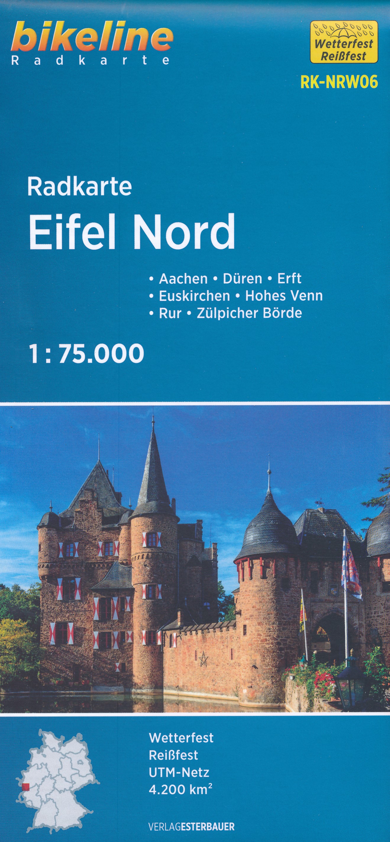
- Fietskaart NRW06 Bikeline Radkarte Eifel Nord | Esterbauer
- Bikeline Radkarte Deutschland Eifel Nord Aachen, Köln 1 : 75 000 ab 6.9 EURO Aachen - Ahr - Düren - Erft - Eupen - Hohes Venn - Rur - Zülpicher Börde. GPS-tauglich mit UTM-Netz. Bikeline Radkarte Nordrhein-Westfalen. 2. Auflage Leer más
Bol.com
Netherlands
Netherlands
- Kompass WK757 Aachen und das Dreiländereck
- KOMPASS-Wanderkarten enthalten alles Wissenswerte für Wanderer wie aktuelle Wanderwege mit Markierungen, empfehlenswerte Radrouten und wichtige touristische Informationen.Der topographische Inhalt wird bei aller Detailgenauigkeit leicht lesbar und anschaulich dargestellt.Ein übersichtlich gestaltetes Beiheftmit zahlreichen Farbfotos informiert... Leer más
- Also available from:
- Bol.com, Belgium
Bol.com
Belgium
Belgium
- Kompass WK757 Aachen und das Dreiländereck
- KOMPASS-Wanderkarten enthalten alles Wissenswerte für Wanderer wie aktuelle Wanderwege mit Markierungen, empfehlenswerte Radrouten und wichtige touristische Informationen.Der topographische Inhalt wird bei aller Detailgenauigkeit leicht lesbar und anschaulich dargestellt.Ein übersichtlich gestaltetes Beiheftmit zahlreichen Farbfotos informiert... Leer más